The 6 Most Amazing Peaks around Persenbeug-Gottsdorf
Best mountain peaks around Persenbeug-Gottsdorf are found in a region characterized by scenic hills and the Danube River in Lower Austria's Nibelungengau. This area offers various elevated points and viewpoints for enjoying natural beauty and panoramic vistas. The landscape provides opportunities for hiking and exploring the countryside.
Best mountain peaks around Persenbeug-Gottsdorf
- The most popular mountain peaks is Großer Peilstein Summit, a summit that offers a view over the Yspertal. The ascent to this 1,063 meter high summit is…
Last updated: May 20, 2026
Katzenstein Summit
Highlight • Summit
Translated by Google •
Tip by

Großer Peilstein Summit
Highlight • Summit
Translated by Google •
Tip by

Sign up now to discover places like this
Get recommendations on the best single tracks, peaks, & plenty of other exciting outdoor places.
Sign up for free
Totenkopf and Drachenstein
Highlight • Natural Monument
Translated by Google •
Tip by

Kaiserstein (935 m)
Highlight • Summit
Translated by Google •
Tip by
Peilsteiner Sonnenplatzl Viewpoint
Highlight • Viewpoint
Translated by Google •
Tip by
Sign up for free to discover even more peaks around Persenbeug-Gottsdorf.
Sign up for free
Already have an account?
Start today with a free account
Your next adventure awaits.
Login or Signup
Popular around Persenbeug-Gottsdorf

Eisenwurzen Trail – Hiking through Austria from north to south
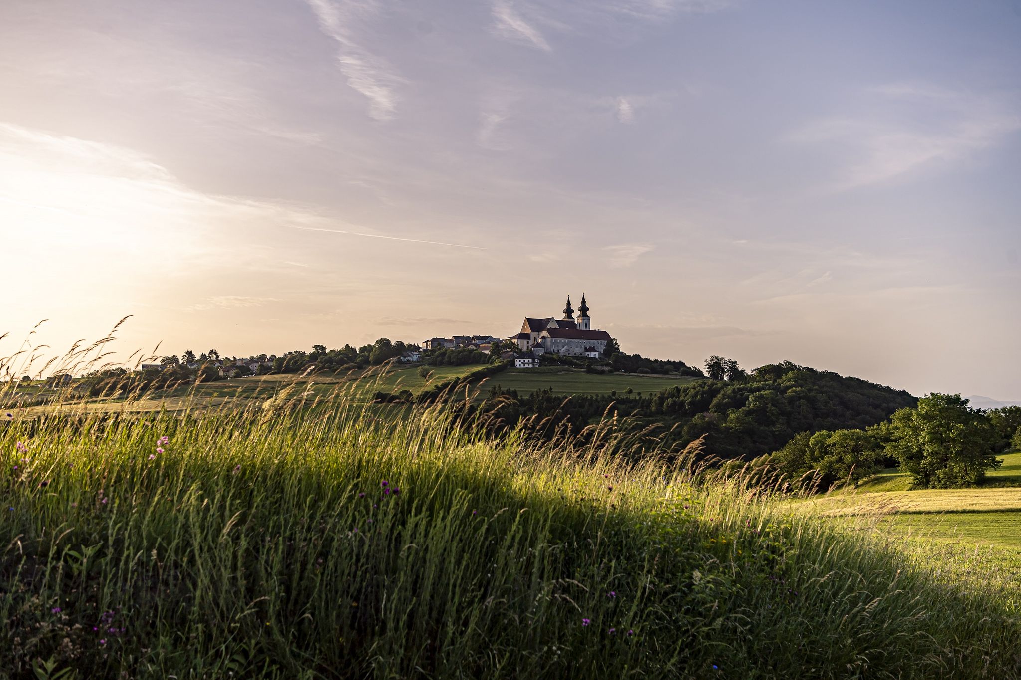
Hiking along the Danube in the Nibelungengau – Where legends come alive
MTB Trails around Persenbeug-Gottsdorf
Cycling around Persenbeug-Gottsdorf
Road Cycling Routes around Persenbeug-Gottsdorf
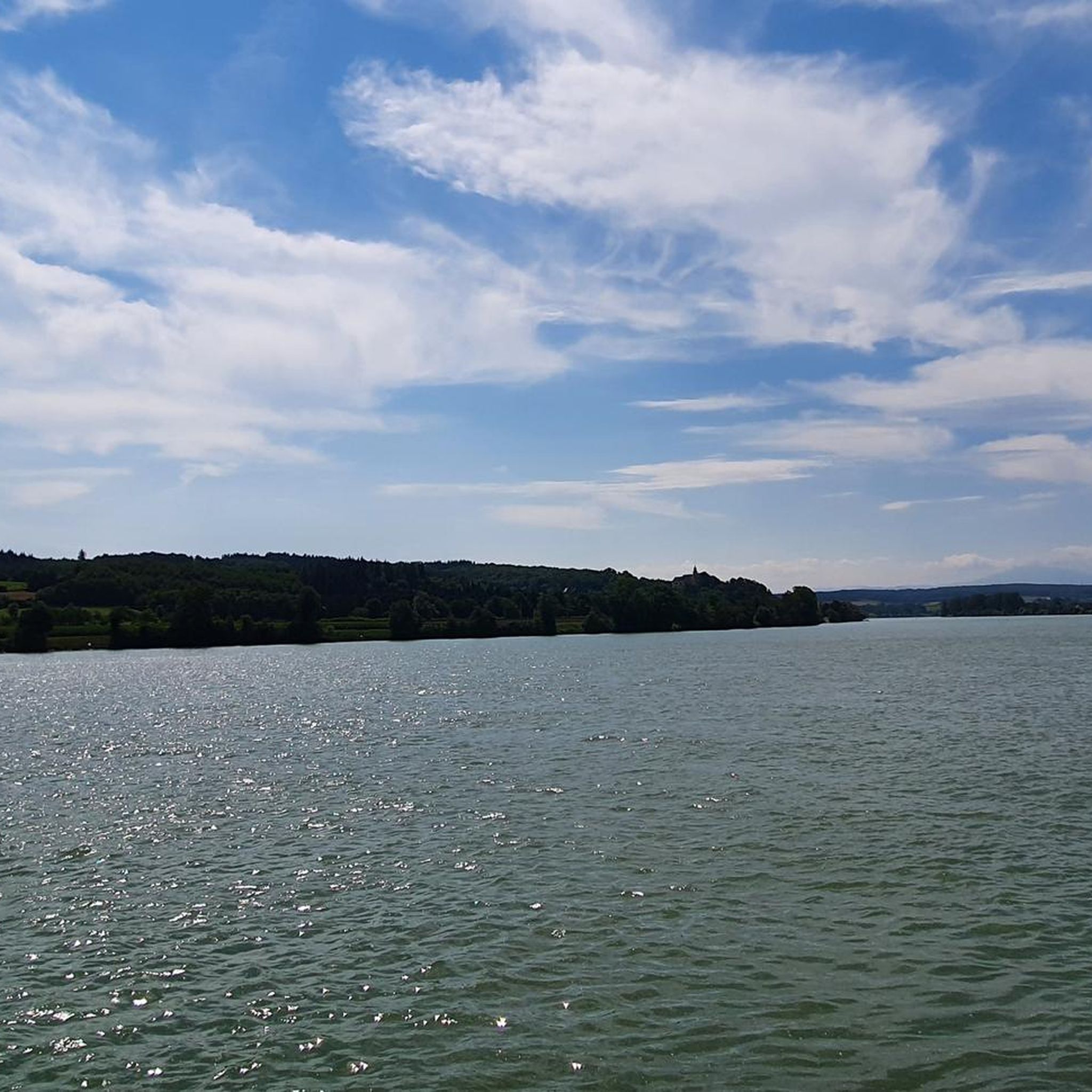
Hiking around Persenbeug-Gottsdorf
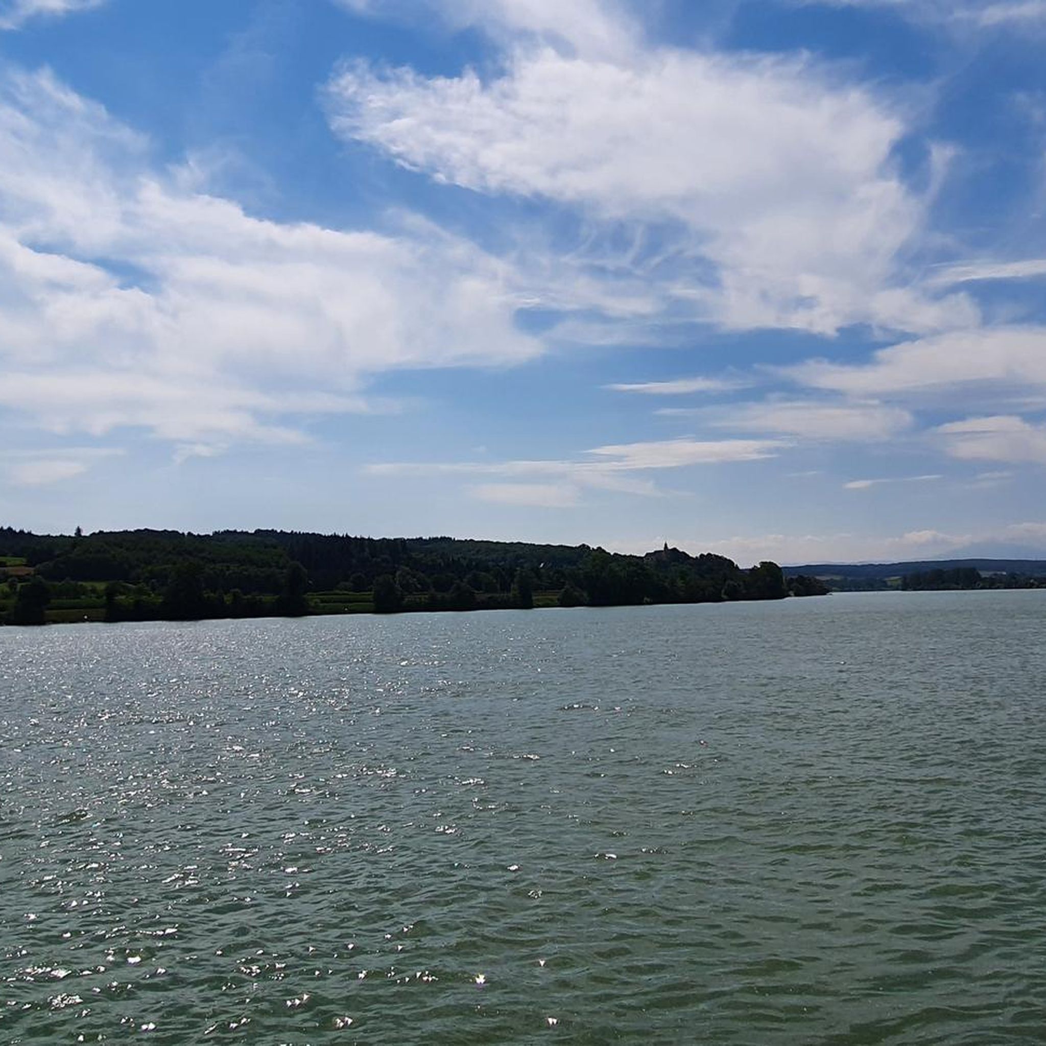
Running Trails around Persenbeug-Gottsdorf


Tips from the Community

Why would anyone recommend a mountain bike ride when cycling is prohibited throughout the forest is beyond me.
2
1

The "Skull" really looks a bit scary.😅 If you go to the back of the impressive rock formation, you can climb the "Drachenstein" using the stairs...but ⚠️Be careful...when it's wet, the stones are pretty slippery . Surefootedness and smart footwear are also highly recommended.😉☀️🧡
1
0

Here you have sun but also fog, in any case a nice place to rest and a great vantage point!
0
0
Such a great view from up there over the Yspertal delights the hiker's heart!
1
0

The short detour of 200 meters is definitely worth it to see the huge rock formations. I was really surprised by the sight. The ladder takes you steeply up, there is no view, but that doesn't matter. Then there is the Weissenberg summit cross in the immediate vicinity.
2
1

The name of the Kaiserstein (935 m above sea level) goes back to Emperor Franz I, who liked to climb the peaks around Münichreith from his summer residence Schloss Luberegg. Source. Wikipedia
1
0
At 1061m, the Great Peilstein is the highest elevation on the Ostrong. After felling, the view from the summit of the Großer Peilstein to the north is clear (as of spring 2013). However, the rocky spur of the Kleiner Peilstein 300 meters to the northeast (with a large summit cross and summit book) offers a much more comprehensive view, also in the direction of Laimbach am Ostrong. Source: Wikipedia
1
0
From here you have a wonderful view of Münicreith and the Ostrong.
2
0
Frequently Asked Questions
What are some of the most notable elevated points and viewpoints around Persenbeug-Gottsdorf?
The region offers several elevated points and viewpoints. The Großer Peilstein Summit provides a remarkable view over the Yspertal. Another popular spot is the Kaiserstein (935 m), known for its historical connection to Emperor Franz I. For impressive views over the Danube River, consider visiting the Naturfreundestein, which is accessible via walking paths.
Are there any challenging mountain peaks or rock formations to explore?
Yes, for those seeking a bit more adventure, the Totenkopf and Drachenstein natural monument features rock formations that can be climbed, with a carved seat at the top of the Totenkopf. Additionally, the Katzenstein Summit, a 963-meter rock formation, offers a climbable experience with soft moss and signposted paths.
What kind of views can I expect from the mountain peaks in this region?
From the elevated points around Persenbeug-Gottsdorf, you can expect stunning panoramic views. For example, the Großer Peilstein Summit offers expansive vistas over the Yspertal. The Naturfreundestein provides impressive views over the Danube River and the prominent Ötscher peak on the southern horizon, showcasing the surrounding agricultural and forested landscapes of the Mostviertel region.
What outdoor activities can I do near these mountain peaks?
The area around Persenbeug-Gottsdorf is excellent for various outdoor activities. You can find numerous hiking opportunities, including easy walks and more moderate trails. There are also options for running and mountain biking. For detailed routes, you can explore guides like Easy hikes around Persenbeug-Gottsdorf, Running Trails around Persenbeug-Gottsdorf, and MTB Trails around Persenbeug-Gottsdorf.
Are there family-friendly hiking options around Persenbeug-Gottsdorf?
Yes, the region offers several family-friendly hiking trails. Many paths are suitable for moderate activity, allowing families to enjoy the natural beauty. For example, the Persenbeug circular hiking trail passes by the Naturfreundestein, offering accessible routes. You can find more options in the Easy hikes around Persenbeug-Gottsdorf guide.
What is the best time of year to hike the mountain peaks in this area?
The best time to hike in the Persenbeug-Gottsdorf region is generally during the spring, summer, and autumn months when the weather is mild and the trails are clear. These seasons offer pleasant temperatures for exploring and enjoying the panoramic views. While winter hiking might be possible, some trails could be challenging due to snow or ice.
Are there any historical points of interest among the peaks?
Yes, the Kaiserstein (935 m) has historical significance. Its name is linked to Emperor Franz I, who enjoyed ascending the peaks around Münichreith from his summer residence at Schloss Luberegg. This makes it a nice spot for a break with a touch of history.
What do visitors enjoy most about the mountain peaks and viewpoints here?
Visitors particularly enjoy the rewarding views after an ascent, describing them as a 'real summit experience.' The natural rock formations, like those at Totenkopf and Drachenstein, also surprise and impress many. The tranquility and the opportunity for a peaceful break at spots like Kaiserstein are also highly appreciated.
How accessible are the trailheads for these mountain peaks?
Many of the elevated points and viewpoints in the Persenbeug-Gottsdorf area are accessible via walking paths and hiking trails. While specific parking and public transport details for each trailhead vary, the region is generally well-suited for outdoor enthusiasts. It's advisable to check local information for the most convenient access points for your chosen route.
Are there any specific viewpoints known for sun or fog?
The Peilsteiner Sonnenplatzl Viewpoint, located a short distance from the Großer Peilstein Summit, is known for offering both sun and, at times, fog. It's considered an ideal spot for a short break with a great view, regardless of the weather conditions.
Can I find places to eat or stay near the hiking routes?
Persenbeug-Gottsdorf and its surrounding villages offer various amenities for hikers, including cafes, pubs, restaurants, and accommodation options. These establishments provide convenient places to refuel and rest after exploring the mountain peaks and trails in the Nibelungengau region.
What is the highest point for hiking in the immediate vicinity?
The Großer Peilstein Summit, at 1063 meters, is one of the highest elevations in the area, particularly on the Ostrong. It offers a rewarding ascent with extensive views over the Yspertal.
Most popular routes around Persenbeug-Gottsdorf
Most popular attractions around Persenbeug-Gottsdorf

Get inspired with the komoot mobile app


Explore more
See even more amazing summits around Persenbeug-Gottsdorf with these guides:
