The best walks and hikes around Freienhagen
4.7
(3134)
11,785
hikers
656
hikes
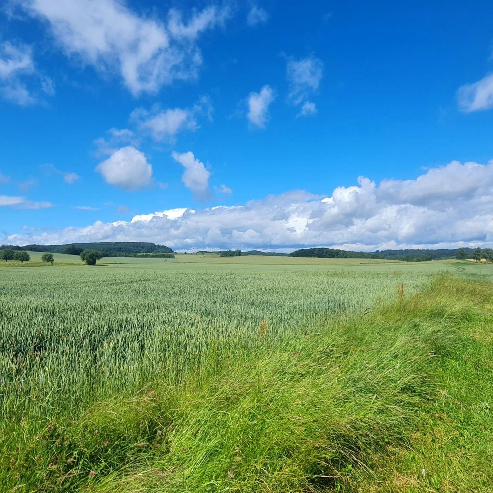
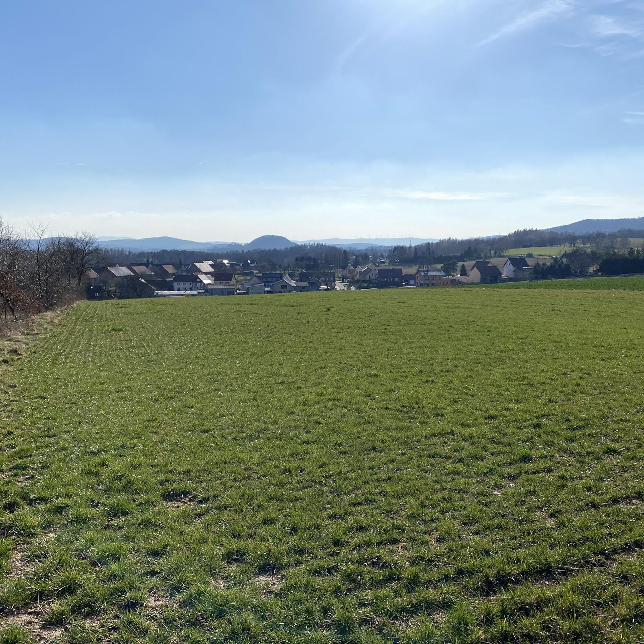
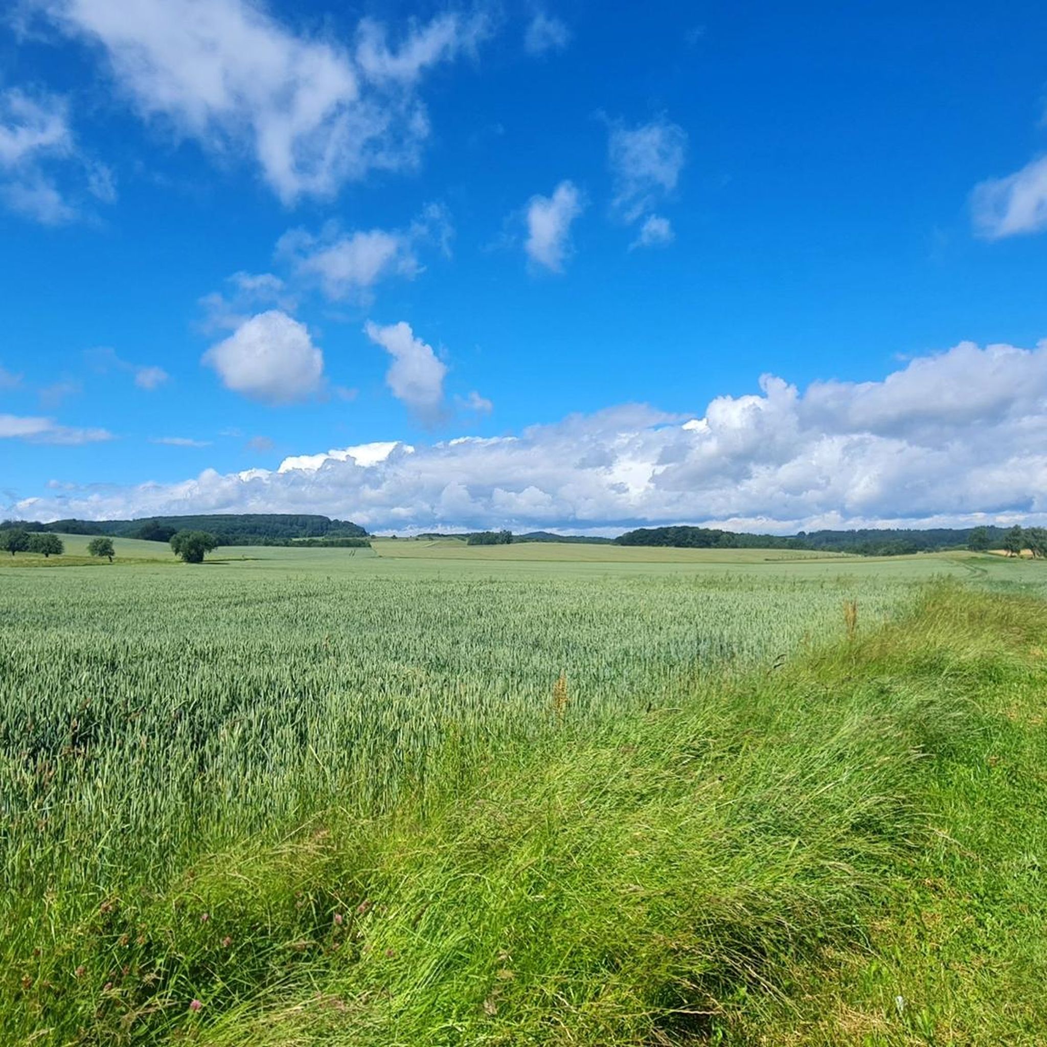
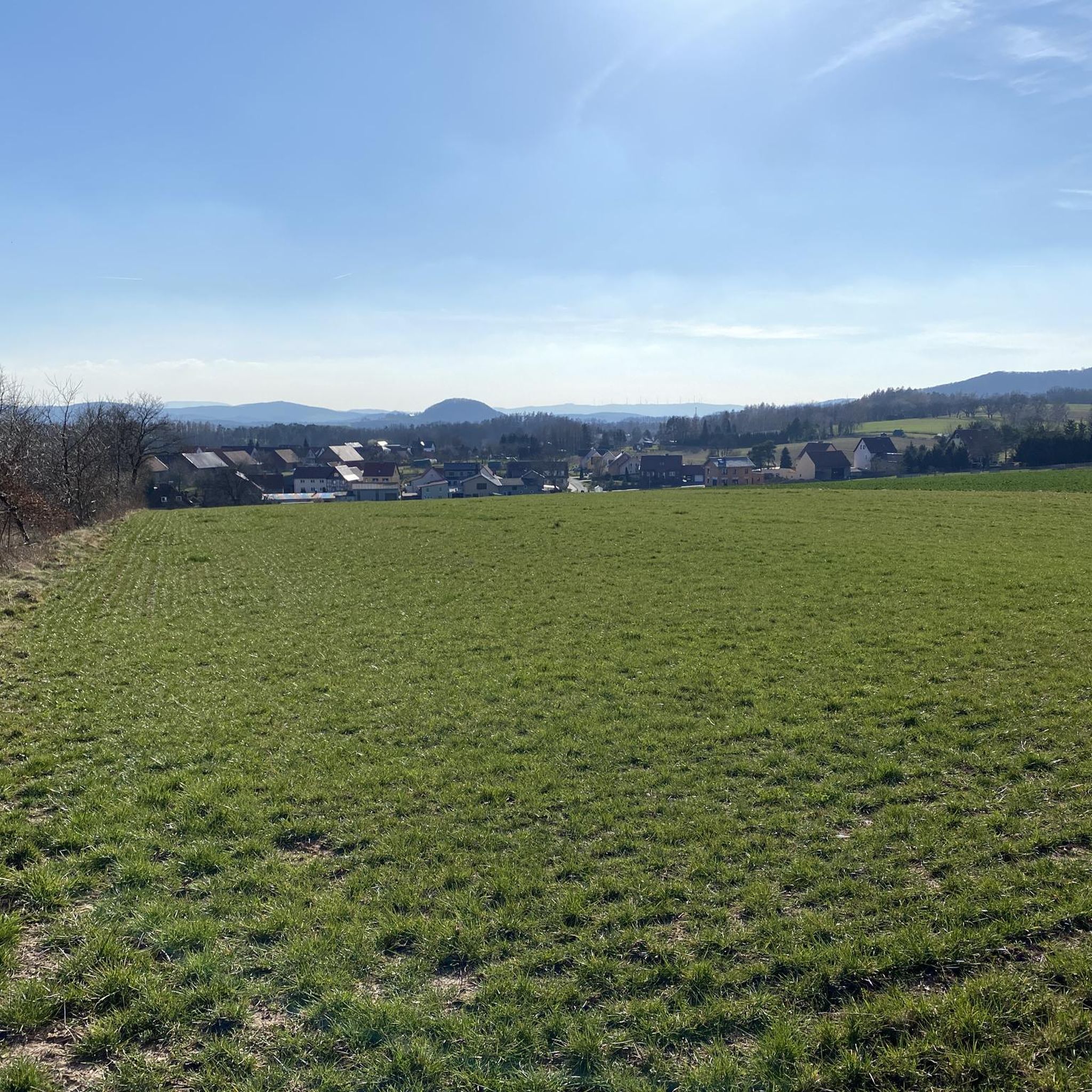
Hiking around Freienhagen offers diverse landscapes within Germany's Eichsfeld region, characterized by rolling hills, dense forests, and expansive fields. The area is situated at the foot of the Hülfensberg, providing varied terrain and scenic views. Hikers can explore wooded areas, tranquil ponds like Jeppenteich, and sections of the Green Belt. The region's topography includes numerous hills, offering both gentle paths and more challenging ascents.
Best hiking trails around Freienhagen
- The most popular hiking route is Jägersteine Rock Formations – Picnic…
Last updated: May 15, 2026
4.7
(99)
300
hikers
8.06km
02:13
140m
150m
Moderate hike. Good fitness required. Easily-accessible paths. Suitable for all skill levels.
4.9
(13)
50
hikers
7.55km
02:04
120m
120m
Moderate hike. Good fitness required. Easily-accessible paths. Suitable for all skill levels.

Sign up for free
4.8
(4)
15
hikers
14.3km
04:05
320m
320m
Moderate hike. Good fitness required. Easily-accessible paths. Suitable for all skill levels.
5.0
(1)
22
hikers
4.81km
01:19
80m
80m
Easy hike. Great for any fitness level. Easily-accessible paths. Suitable for all skill levels.
5.0
(3)
13
hikers
10.8km
02:56
160m
160m
Moderate hike. Good fitness required. Mostly accessible paths. Sure-footedness required.
Get access to more routes and recommendations from other explorers.
Sign up for free
Already have an account?
Our route recommendations are based on thousands of hikes, rides, and runs completed by other people on komoot.
Start today with a free account
Your next adventure awaits.
Login or Signup
Tips from the Community

Well-paved paths. Walkable even in wet conditions.
0
0

Nice fountain, but not drinking water.
0
0
Unfortunately no drinking water, but a nice spot with a beautiful view above Bremke.
0
0

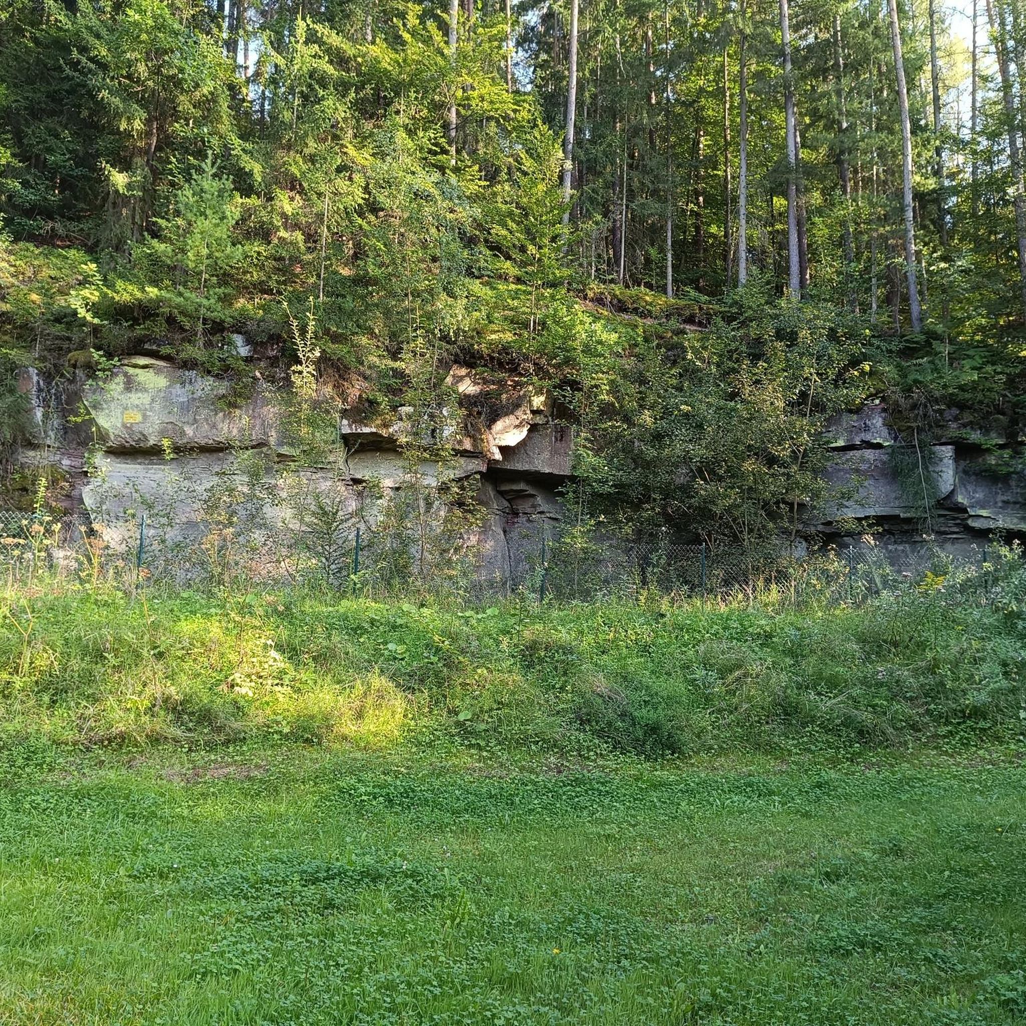
2 objects that are now unfortunately partly very overgrown
4
0
Hermitage with easy access and rest area with 2 former fish ponds
4
0

After the climb out of Bremke, you have the opportunity to enjoy the beautiful view (there's also a park bench available). The descent to Sennickerode is bumpy in places—but highly recommended.
0
0

The Wendebach is a 16 km long, right or eastern tributary of the Leine in the district of Göttingen, southern Lower Saxony (Germany). The source of the Wendebach is south of the Vogelsang settlement near Bremke, directly on the border with Thuringia. From here it flows a short distance southwards, then northwestwards and right through the town of Bremke. There, on the left, an unnamed stream coming from the south from Ischenrode flows into the Wendebach. It flows through the small-scale red sandstone rock area of the Reinhäuser Forest in a west-northwest direction, taking in water from ditches and an unnamed stream. The 568 country road runs along this stretch of the Wendebach in the Bremkertal valley. In 2013, a cycle path was built partly along the road, but mostly on the other side of the Wendebach. At the eastern entrance to Reinhausen, the Reinbach, coming from the left, flows into the Wendebach. This is where the Wendebach leaves the wooded area. In Reinhausen, the valley is dominated by the rocks of the Bielstein and the Kirchberg with the monastery church standing on them. Behind Reinhausen, the valley widens again a little, the rocks recede and the stream flows through a hilly meadow and pasture landscape with small forests and woods into the Wendebach reservoir. There is also a cycle path in the valley of the Wendebach on the route between Reinhausen and the Wendebach reservoir. (Source: Wikipedia)
1
0
Frequently Asked Questions
How many hiking trails are available around Freienhagen?
There are over 660 hiking trails around Freienhagen, offering a wide range of options for all skill levels. This includes more than 350 easy routes, nearly 290 moderate trails, and 22 more challenging hikes.
What kind of terrain can I expect on hikes in Freienhagen?
Hikes in Freienhagen feature diverse terrain, characterized by rolling hills and dense forests. The region is situated at the foot of the Hülfensberg, providing varied landscapes from tranquil wooded paths to more challenging ascents. You'll also find serene spots like the Jeppenteich pond and sections of the preserved Green Belt.
Are there any family-friendly hiking options in Freienhagen?
Yes, Freienhagen offers many family-friendly routes. With over 350 easy trails, you can find gentle paths suitable for all ages. The region's picturesque forests and open fields provide a pleasant environment for families to explore together. Consider a shorter, easy loop like the View of the Neuen Gleichen – Heiligenbrunnen Fountain loop from Bremke, which is just under 5 km.
Can I bring my dog on the hiking trails?
Many trails around Freienhagen are suitable for dogs, especially those winding through the dense forests and open fields. The natural environment provides plenty of space for your dog to enjoy. Always ensure your dog is under control and check for any local regulations regarding pets on specific trails or protected areas.
Are there any circular walks available?
Yes, many of the hiking routes in Freienhagen are circular, allowing you to start and end at the same point. For example, the Jägersteine Rock Formations – Picnic area at Hurkutstein loop from Bremke is a popular 8 km circular trail that takes you through notable rock formations.
What historical landmarks or natural attractions can I see while hiking?
Freienhagen is rich in both natural beauty and historical sites. You can explore the Ruins of Alte Gleichen Castle – View from Neue Gleichen loop from Bremke, which offers panoramic views and insights into the area's medieval past. Natural highlights include the serene Jeppenteich pond and various rock formations. You can also visit the Hurkutstein Rock Formation and Hermit's Cave or the Dwarf Cave.
What do other hikers say about the trails in Freienhagen?
The hiking trails in Freienhagen are highly regarded by the komoot community, with an average rating of 4.7 stars from over 3,000 reviews. Hikers often praise the quiet woodlands, varied terrain, and the opportunity to discover both natural beauty and historical sites.
Are there any longer, more challenging hikes for experienced hikers?
While most trails are easy to moderate, there are 22 difficult routes for those seeking a greater challenge. These often involve more significant elevation changes across the region's rolling hills and peaks. A longer moderate option is the Picnic area at Hurkutstein – Jägersteine Rock Formations loop from Bremke, which covers nearly 14.5 km.
Where can I find parking for hiking trails in Freienhagen?
Parking is generally available near trailheads and popular starting points in and around Freienhagen. Specific parking information can often be found on individual route descriptions on komoot, or by checking local signage in villages like Bremke, which serves as a common starting point for many trails.
Is public transport available to access hiking areas?
While Freienhagen is best explored by car for direct access to various trailheads, some public transport options may connect to the main village. For detailed information on bus routes and schedules to Freienhagen or nearby starting points, it's advisable to check local transport provider websites.
Are there any cafes or pubs along the hiking routes?
The quaint village of Freienhagen itself, with its traditional German rural life, offers opportunities for refreshments. While not every trail will have a pub directly on route, many trails pass through or near villages where you can find local cafes or pubs to stop for a break and a meal.
What is the best time of year to go hiking in Freienhagen?
Freienhagen offers beautiful hiking experiences throughout the year. Spring brings lush greenery and blooming wildflowers, while autumn showcases vibrant fall foliage in the dense forests. Summer is ideal for longer days and warmer weather, and even winter can be magical with snow-covered landscapes, though some trails might be more challenging.
Are there any trails that offer particularly scenic viewpoints?
Absolutely. The region's rolling hills and peaks, including the Hülfensberg, provide numerous opportunities for rewarding views. Trails leading to historical sites like the Ruins of Alte Gleichen Castle often feature impressive panoramic vistas of the surrounding Eichsfeld landscape.
Most popular attractions around Freienhagen

Get inspired with the komoot mobile app


Explore more
Browse the best Hikes in other regions.
