The best cycling routes in Ansel Adams Wilderness
3.4
(10)
554
riders
43
rides
Touring cycling in Ansel Adams Wilderness offers routes through a landscape characterized by high Sierra Nevada peaks, alpine lakes, and dense pine forests. The region features significant elevation changes, including mountain passes and river valleys, providing varied terrain for cyclists. Glacial formations and granite outcrops are common, shaping the paths and views. This wilderness area is known for its remote, rugged beauty, with routes often traversing unpaved roads or less-trafficked mountain passes.
Best touring cycling routes in Ansel Adams Wilderness
…Last updated: July 8, 2026
15.1km
01:12
410m
410m
Cycle 9.4 miles (15.1 km) from Portal Forebay to Mono Hot Springs via Kaiser Pass Road, a moderate route with 1361 feet of gain.
65
riders
55.7km
03:38
800m
800m
Cycling From Tioga Pass to Olmsted Point and back offers a truly unique perspective on Yosemite's high country, taking you through a stunning high-alpine environment. You'll wind through coniferous forests…

Sign up for free
11
riders
15.7km
01:06
230m
230m
Moderate bike ride. Good fitness required. Mostly paved surfaces. Suitable for all skill levels.
10
riders
29.1km
02:10
550m
550m
Hard bike ride. Very good fitness required. Mostly paved surfaces. Suitable for all skill levels.
6
riders
9.50km
00:39
160m
160m
Moderate bike ride. Good fitness required. Mostly paved surfaces. Suitable for all skill levels.
Get access to more routes and recommendations from other explorers.
Sign up for free
Already have an account?
Our route recommendations are based on thousands of hikes, rides, and runs completed by other people on komoot.
Start today with a free account
Your next adventure awaits.
Login or Signup
Popular around Ansel Adams Wilderness

John Muir Trail – Along the legendary trail through the magical Sierra Nevada

The Sierra High Route — Solitude in California's alpine country
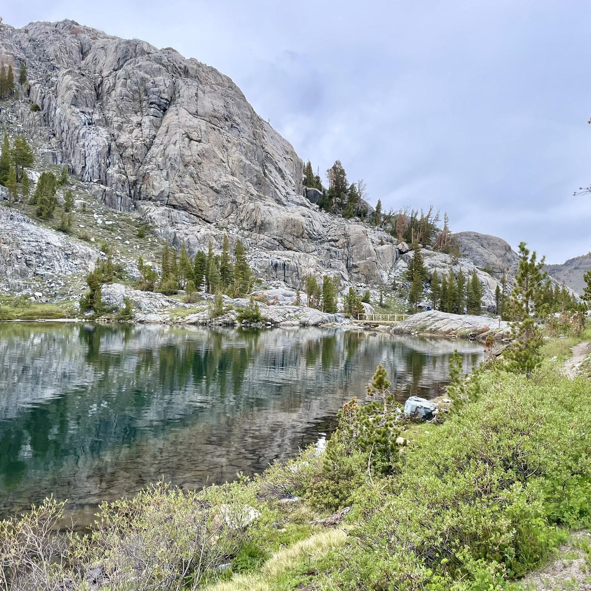
Hiking in Ansel Adams Wilderness
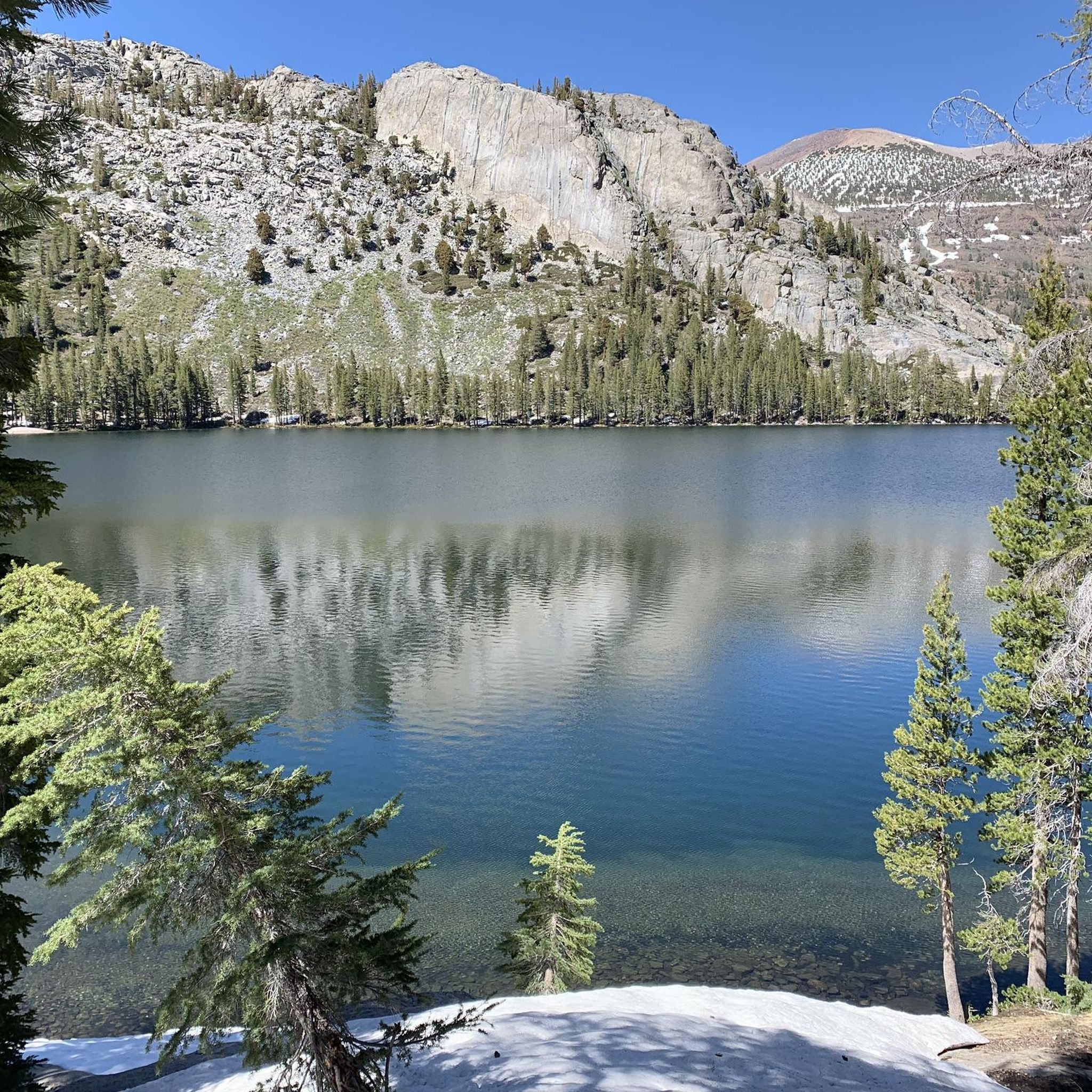
Running Trails in Ansel Adams Wilderness
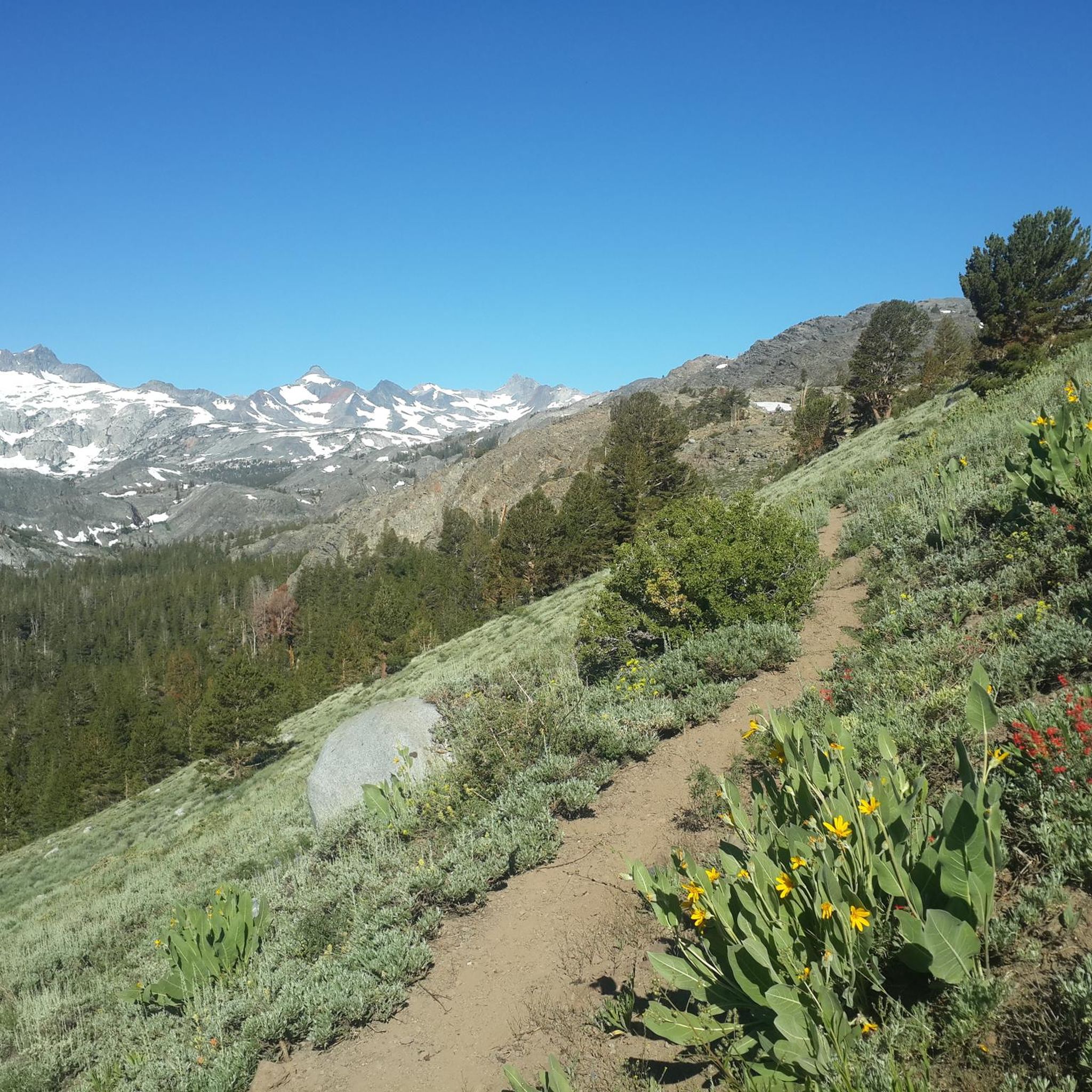
MTB Trails in Ansel Adams Wilderness
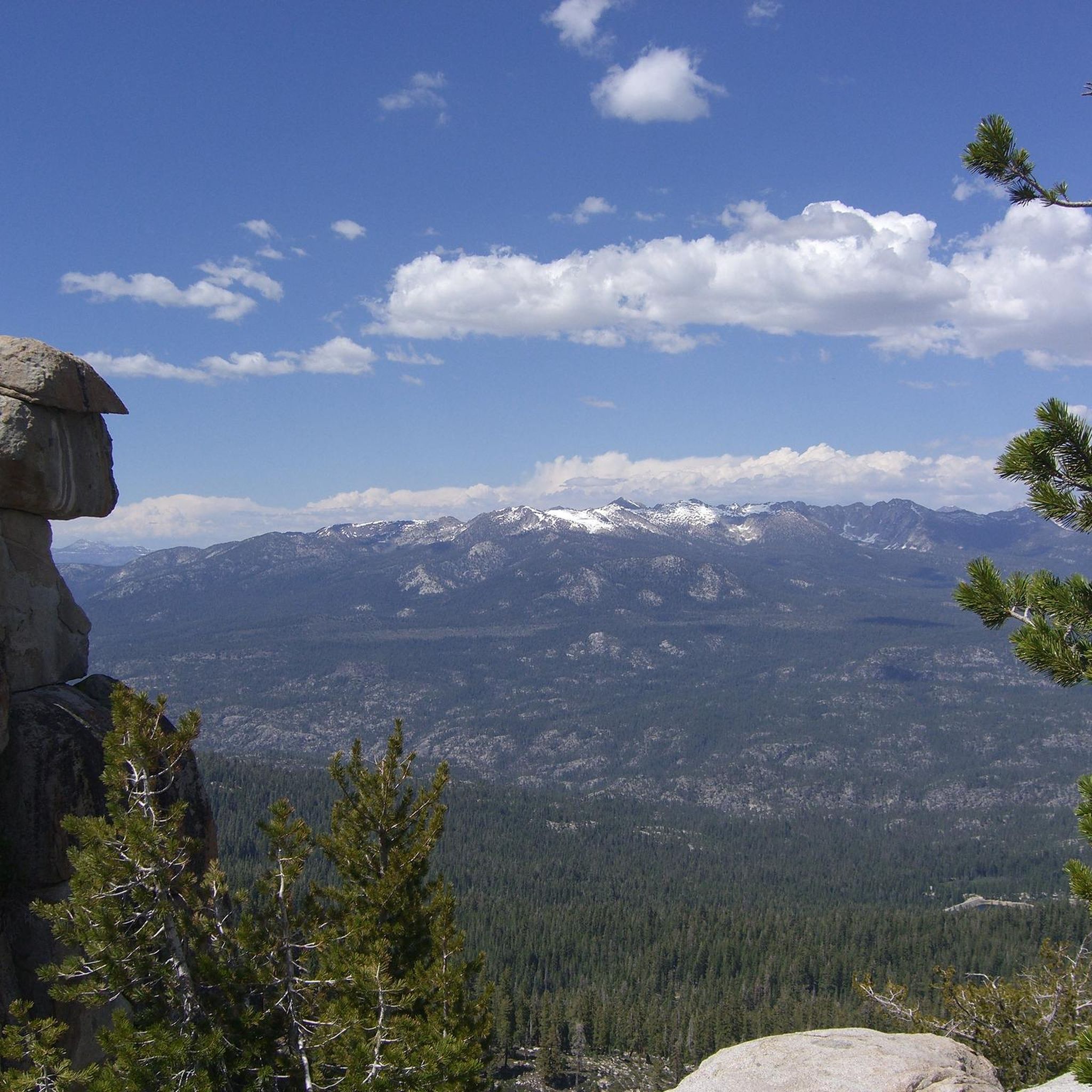
Road Cycling Routes in Ansel Adams Wilderness

Gravel biking in Ansel Adams Wilderness


Tips from the Community

From this spot on the shore of Twin Lakes, you get a great view of Twin Falls as it plunges down the rocky cliff, framed by towering evergreens and the dramatic ridgeline of the Eastern Sierra. If you visit in early summer, you’ll catch the falls at their peak—fed by snowmelt, with distant peaks still dusted in white.
0
0

Olmsted Point is a famous viewpoint of the north side of Half Dome, Tenaya Canyon, and Tenaya Lake to the east from Tioga Pass off State Highway 120 in Mariposa County. Olmsted Point is a must-see on the way over Tioga Pass. We admire the "erratic" boulders staggered around the granite slopes. These huge boulders were left behind when the last glacier broke through. Olmsted Point is named after landscape architects Frederick Law Olmsted and Frederick Law Olmsted, Jr. Olmsted was instrumental in protecting Yosemite National Park in the 1860s when he worked with Senator John Conness of California to declare Yosemite Valley and the Mariposa Big Tree Grove as public land under state protection. This was the first land set aside by Congress for public use and laid the foundation for what would become the National Parks.
4
0

Twin Falls connects Twin Lakes and Mamie Lake. This small stretch of river cascades down the rocks, flowing through a small patch of forest. It can be viewed from the trail or the road, and if you venture a little further up, you’ll also get a view of Twin Lakes.
0
0
Lake Mary is nestled in front of a red basalt cliff and surrounded by forest, creating a scenic setting. In the winter, the area is blanketed in snow, making it ideal for cross-country skiing.
1
0


Great mountain lake that invites you to swim and is ideal for a short walk.
0
0

Lake Mary is the largest lake of the over one hundred lakes that comprise the Mammoth Lakes area. The lake has a campground to the northeast and two marinas offering boat and kayak rentals.
0
0
Frequently Asked Questions
What is the general difficulty level of touring cycling routes in Ansel Adams Wilderness?
Ansel Adams Wilderness offers a diverse range of touring cycling routes. You'll find approximately 6 easy routes, 24 moderate routes, and 14 difficult routes, catering to various skill levels from beginners to experienced cyclists.
Are there any easy touring cycling routes suitable for beginners or families?
Yes, there are several easier options. For a relatively flat and short ride, consider the Horseshoe Lake – Horseshoe Lake loop from Red Cones Trailhead. This route is just over 2 miles (3.3 km) with minimal elevation gain, making it ideal for a relaxed outing.
What are some challenging touring cycling routes for experienced riders in Ansel Adams Wilderness?
For experienced cyclists seeking a challenge, routes like From Tioga Pass to Olmsted Point and back offer significant climbs and expansive high-altitude views. Another demanding option is the Mammoth Mountain Resort to Devil's Postpile National Monument, which features substantial elevation changes over its 16.8 miles (27.1 km) length.
Are there any loop touring cycling routes available in the area?
Yes, loop routes are available for those who prefer not to retrace their steps. An excellent example is the Ellery Lake – Tioga Lake North overlook loop from Upper Horse Meadow, which takes you through subalpine terrain and past scenic lakes.
What natural attractions can I see while touring cycling in Ansel Adams Wilderness?
The wilderness is rich with natural beauty. Along your rides, you might encounter stunning alpine lakes such as Thousand Island Lake and Garnet Lake. Mountain passes like Donohue Pass offer breathtaking vistas. For more information on attractions, you can explore the Attractions in Ansel Adams Wilderness guide.
What is the best time of year for touring cycling in Ansel Adams Wilderness?
Due to its high Sierra Nevada location, the best time for touring cycling is typically from late spring through early autumn (roughly June to October). During these months, snow has usually melted from higher passes, and the weather is generally more stable. Always check current conditions and road closures before you go, especially for higher elevation routes.
What should I pack for a touring cycling trip in Ansel Adams Wilderness?
Given the variable mountain weather, it's wise to pack layers, including a waterproof and windproof jacket. Essential items include plenty of water, snacks, sun protection (sunscreen, hat, sunglasses), a basic bike repair kit, and navigation tools. For longer rides, consider carrying extra food and emergency supplies, as services can be sparse in the wilderness.
Are there any specific permits required for touring cycling in Ansel Adams Wilderness?
While general day use for cycling on established roads and trails typically doesn't require a permit, certain areas or overnight trips within the wilderness might. It's always best to check with the local ranger district or the Inyo National Forest website for the most up-to-date information on permit requirements for your specific route and duration.
What do other touring cyclists say about the routes in Ansel Adams Wilderness?
The touring cycling routes in Ansel Adams Wilderness are highly regarded by the komoot community, holding an average rating of 3.8 stars from 7 reviews. Cyclists often praise the stunning high-altitude landscapes, the challenge of the mountain passes, and the remote, rugged beauty of the region.
Where can I find parking for touring cycling routes in Ansel Adams Wilderness?
Parking availability varies by trailhead and access point. Many popular trailheads, such as those near Mammoth Lakes or along Tioga Pass Road, offer designated parking areas. However, these can fill up quickly during peak season. Always check specific trailhead information or local forest service resources for details on parking and any associated fees.
Are there any hidden gem touring cycling routes in Ansel Adams Wilderness?
While many routes offer spectacular scenery, exploring less-trafficked forest roads or sections of longer trails can reveal quieter experiences. The wilderness is vast, and many paths offer solitude away from the main thoroughfares, allowing you to discover your own hidden gems amidst the pine forests and granite formations.
Most popular routes in Ansel Adams Wilderness
Most popular attractions in Ansel Adams Wilderness

Get inspired with the komoot mobile app


Explore more
Browse the best Cycling routes in other regions.
