The best running trails in Sandwich Range Wilderness
155
runners
42
runs
Jogging in Sandwich Range Wilderness offers a diverse and rugged landscape within the southeastern White Mountains of New Hampshire. The region is characterized by bold peaks, long ridgelines, and high mountain passes, providing varied terrain for runners. Trails range from mostly flat paths to routes with steep sections, rocks, and roots. The landscape also features boulder-strewn streams, ponds, and a transition from dense spruce-fir vegetation at higher elevations to northern hardwoods in the valleys.
Best jogging routes in Sandwich Range…
Last updated: August 22, 2026
1
runners
8.63km
01:44
580m
580m
Jog the difficult 5.4-mile Sandwich Mountain Trail in the Sandwich Range Wilderness, gaining 1918 feet with rewarding views from Jennings Pe
2.61km
00:16
20m
20m
Enjoy an easy 1.6-mile (2.6 km) jogging route on the Village Trail in White Mountain National Forest, gaining 70 feet (21 metres).

Sign up for free
15.1km
02:15
900m
900m
The McCrillis Trail is a difficult 9.4 miles (15.1 km) jogging route in the Sandwich Range Wilderness, gaining 2967 feet (904 metres).
11.2km
01:31
350m
350m
Jog the difficult 6.9-mile Frank Bolles Preserve loop in Carroll County, gaining 1141 feet with views of Heron Pond and Mount Chocorua.
10.3km
01:33
610m
610m
Jog the difficult 6.4-mile Old Paugus and Bolles Trail Loop, gaining 2014 feet with great views from Mount Paugus South Peak.
Get access to more routes and recommendations from other explorers.
Sign up for free
Already have an account?
Our route recommendations are based on thousands of hikes, rides, and runs completed by other people on komoot.
Start today with a free account
Your next adventure awaits.
Login or Signup
Tips from the Community

Mount Whiteface is one of the popular peaks in the White Mountain National Forest. At around 4,000 feet, it is considered a challenging path to get to the top. Once you are at the peak, there are panoramic views of the nearby mountains, valleys and lakes.
1
0
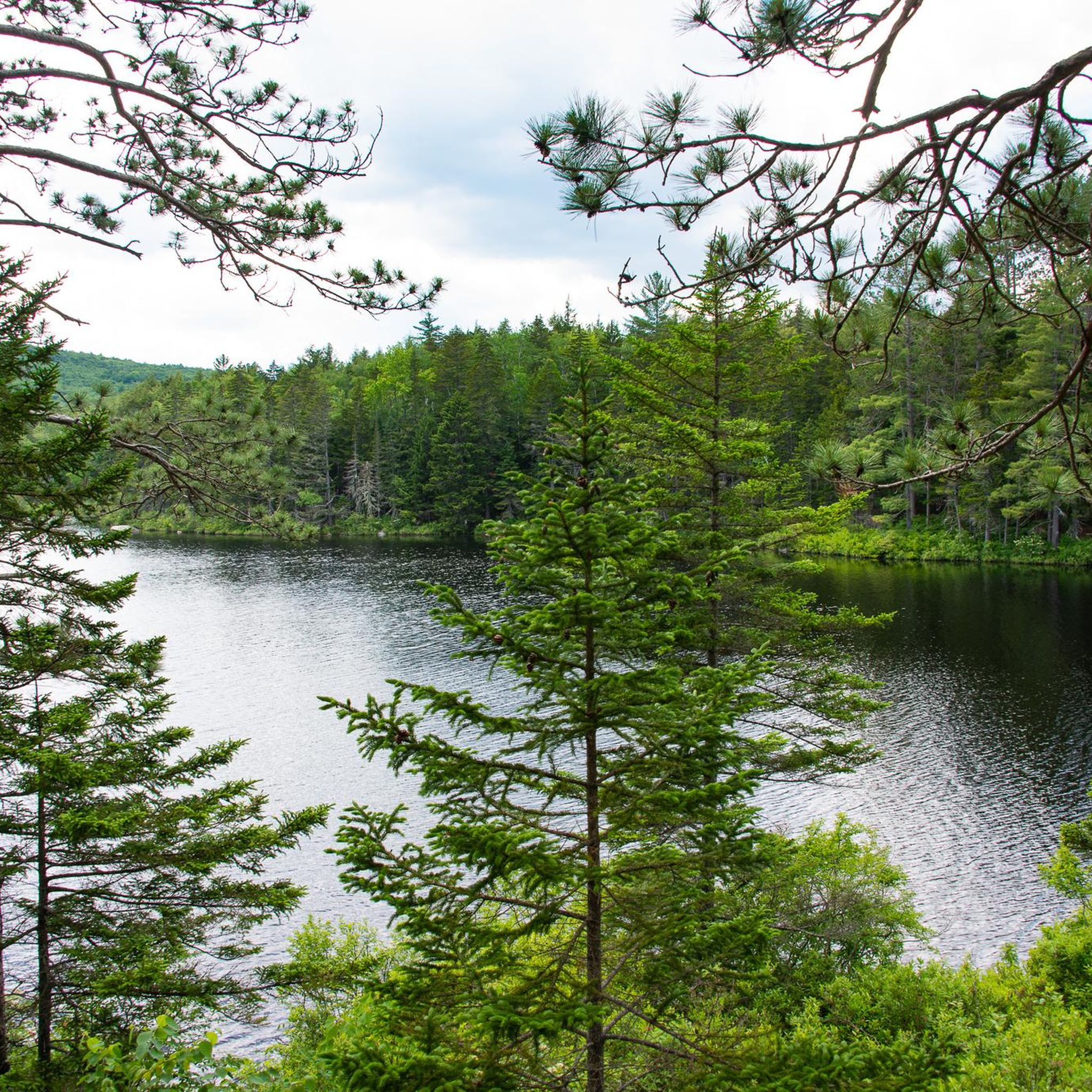
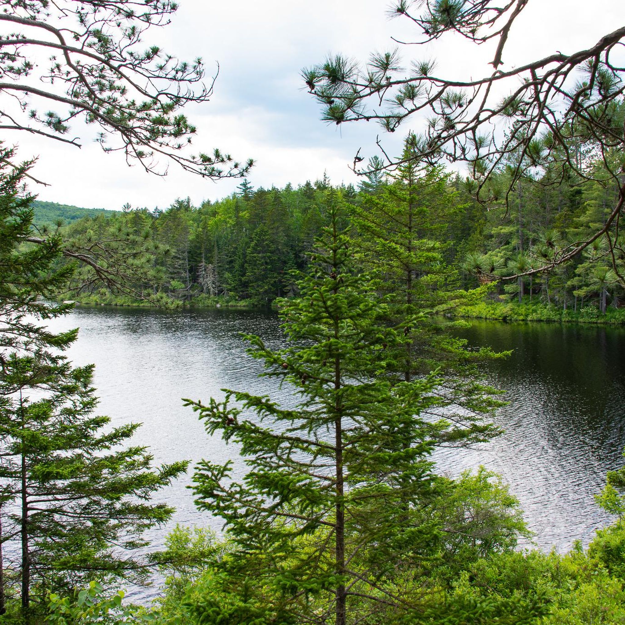
Heron Pond, also known as Lonely Lake, is an eight-acre kettle hole in Frank Bolles Nature Reserve. There are several trails in the park that take you to the pond.
1
0

Mount Paugus South Peak is part of the larger Mount Paugus in the Sandwich Range of the White Mountains. After a forested and rocky ascent, you are rewarded with impressive views of the surrounding landscape, including nearby peaks and valleys.
0
0

Home to one of the first trail systems in the United States, the city is surrounded by the most imposing peaks of the Whites Mountains. The Village Trail goes between the Waterville Valley Town offices and Town Square. Most people use it to get from the Inner Mad River Trail to Town Square.
0
0
Mount Whiteface, located in the White Mountain National Forest, is a striking peak with an elevation of approximately 4,000 feet. The mountain is known for its challenging yet rewarding hiking trails to the summit. Hikers are treated to panoramic views of the surrounding White Mountains, serene forests, and nearby lakes.
0
0
Jennings Peak is one of the summits of the Sandwich Range. It has a height of 3,440 feet and a great view towards Sandwich Mountain. The summit can be reached via Sandwich Mountain Trail or Drakes Brook Trail and the ascent is often combined with Sandwich Mountain.
0
0
Frequently Asked Questions
What kind of terrain can I expect when running in the Sandwich Range Wilderness?
The Sandwich Range Wilderness offers a diverse and rugged landscape. You'll find trails ranging from mostly flat paths to intermediate and difficult routes with steep sections, rocks, and roots. Higher elevations may even feature short scrambles on granite faces, providing a varied experience for runners of all levels.
Are there running routes suitable for beginners in the Sandwich Range Wilderness?
Yes, there are routes suitable for beginners. For an easier run, consider the Village Trail — Waterville Valley, which is a relatively flat path perfect for a quick and less strenuous jog.
What are some challenging running trails for experienced runners?
Experienced runners looking for a challenge will find plenty of options. Routes like Mount Whiteface via McCrillis Trail or Jennings Peak via the Sandwich Mountain Trail offer significant elevation changes and rugged terrain. The Algonquin Trail, ascending Sandwich Dome, is also known for its rough, steep sections and rock scrambles, ideal for a thrilling adventure.
How many running routes are available in the Sandwich Range Wilderness?
There are over 45 running routes available in the Sandwich Range Wilderness, catering to various skill levels and preferences. This includes 3 easy routes, 11 moderate routes, and 35 difficult routes, ensuring a wide selection for every runner.
Are there any circular running routes in the Sandwich Range Wilderness?
Yes, the region features several loop options. Popular choices include the Jennings Peak & Sandwich Mountain loop, Jennings Peak via Drakes Brook & Sandwich Mountain Trail loop, and the Mount Whiteface & Mount Passaconaway via Blueberry Ridge & Wonalancet Trail loop. These provide diverse distances and difficulties for a rounded running experience.
What natural features or viewpoints can I see while running in the Sandwich Range Wilderness?
The Sandwich Range Wilderness is rich in natural beauty. You can enjoy bold peaks like Mount Whiteface, Mount Passaconaway, and Jennings Peak, offering excellent panoramas. Many trails follow ridgelines, providing breathtaking views of the surrounding lakes, mountains, and forests. The Algonquin Trail also offers spectacular views even before reaching the summit.
Are there any water features like waterfalls or ponds along the running trails?
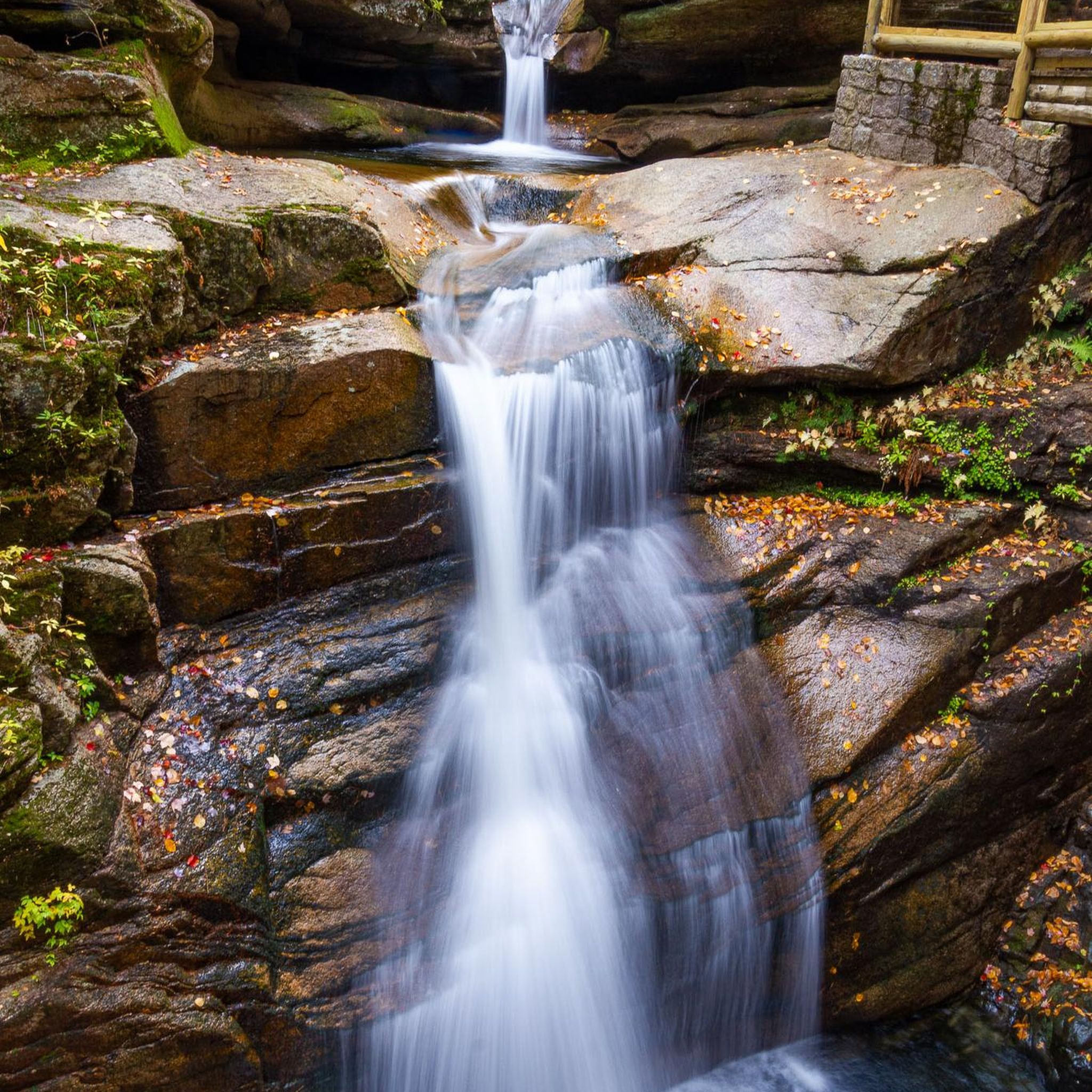
Yes, the terrain is characterized by steep, boulder-strewn streams that tumble over cascades and through calm pools, especially active with snowmelt. Flat Mountain Pond and Black Mountain Pond are notable features, adding to the scenic beauty and attracting wildlife. The Fletcher Cascade Trail is a shorter option that specifically highlights waterfalls.
Is parking available near the running trails in the Sandwich Range Wilderness?
While specific parking details for each trailhead are best checked on individual route pages, the fan-out queries indicate that parking is a common consideration for visitors. Generally, trailheads in the Sandwich Range Wilderness will have designated parking areas, though capacity may vary.
Do I need a permit to jog in the Sandwich Range Wilderness?
Based on available information, there is no general permit required for jogging in the Sandwich Range Wilderness. However, it's always advisable to check with local authorities or the White Mountain National Forest service for any specific regulations or seasonal restrictions before your visit.
Are the running trails in Sandwich Range Wilderness dog-friendly?
The Sandwich Range Wilderness is generally dog-friendly, but it's crucial to keep your dog on a leash and practice Leave No Trace principles. Always check specific trail regulations before heading out, as some areas or seasons might have restrictions.
What is the best time of year to go running in the Sandwich Range Wilderness?
The Sandwich Range Wilderness offers beautiful running conditions throughout much of the year. Spring and fall provide vibrant foliage and cooler temperatures, while summer is ideal for enjoying the full network of trails. Be mindful of snowmelt in spring and potential icy conditions in late fall or winter, especially at higher elevations.
What do other runners enjoy the most about running in Sandwich Range Wilderness?
Runners frequently praise the Sandwich Range Wilderness for its diverse terrain, offering everything from leisurely runs to challenging trail ultra-marathons. The breathtaking mountain vistas, picturesque water features, and rich natural environment, including opportunities for wildlife viewing, are often highlighted as key attractions by the komoot community.
Most popular routes in Sandwich Range Wilderness
Most popular attractions in Sandwich Range Wilderness

Get inspired with the komoot mobile app


Explore more
Browse the best Running Trails & Routes in other regions.
