The best running trails in Woodchute Wilderness
13
runners
4
runs
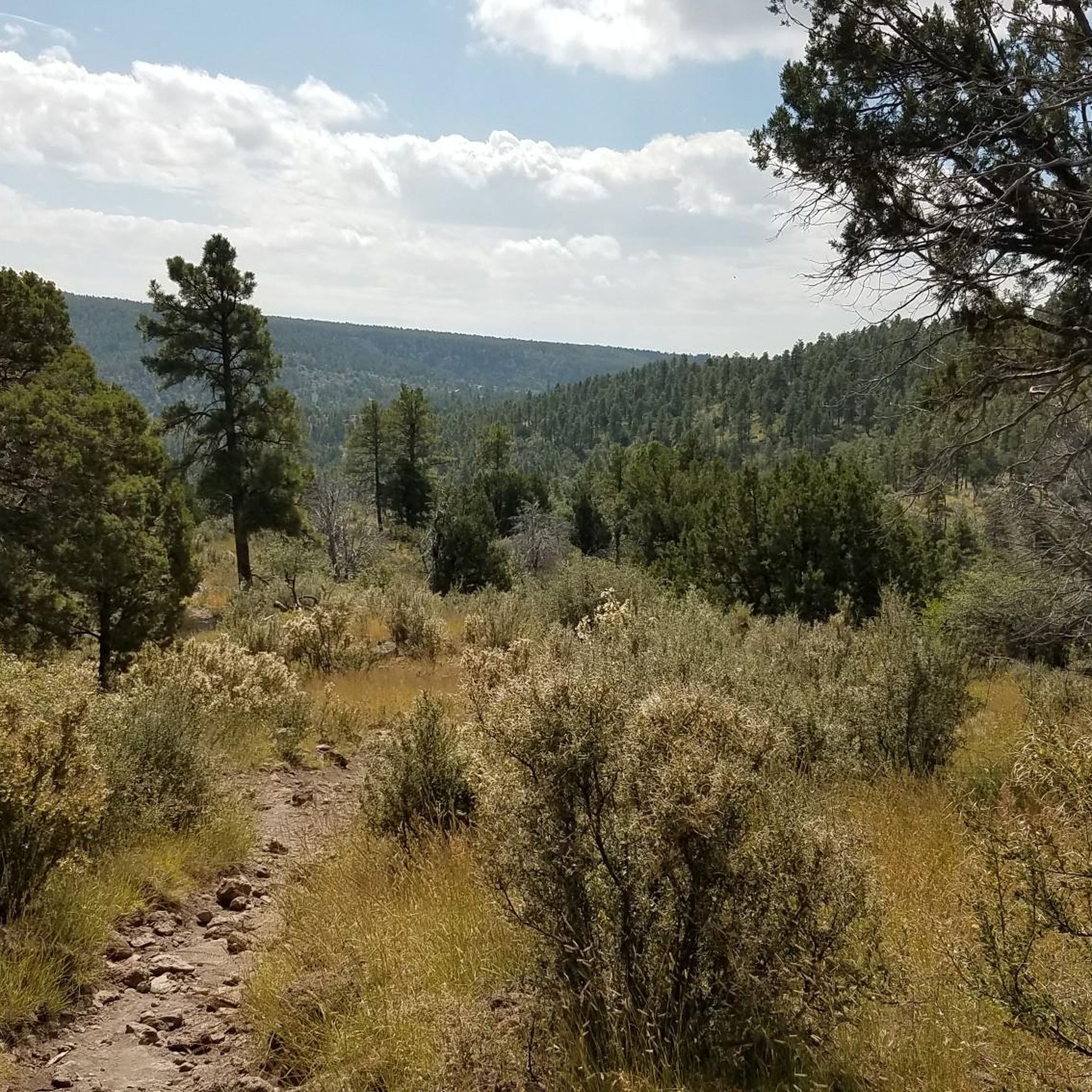
Jogging routes in Woodchute Wilderness traverse diverse landscapes, ranging from Ponderosa Pine forests at higher elevations to pinyon pine and Utah juniper at lower, drier points. The region features significant elevation changes, with terrain spanning from 5,500 to 7,800 feet. This variety offers both relatively flat sections and more strenuous inclines for runners. Panoramic vistas of the Verde Valley, Sedona, and the San Francisco Peaks are accessible from various points along the trails.
Best jogging routes in Woodchute Wilderness
- The…
Last updated: June 27, 2026
5
runners
10.8km
01:28
300m
300m
Woodchute Trail #102 offers a difficult jogging experience, covering 6.7 miles (10.8 km) with a significant elevation gain of 985 feet (300 metres). You can expect to complete this route…
18.3km
02:46
880m
880m
The North Mingus and View Point Trail Loop offers a challenging jogging experience, covering 11.4 miles (18.3 km) with a significant elevation gain of 2878 feet (877 metres). You can…

Sign up for free
8.05km
01:09
320m
320m
Bug Hollow Trail #548 presents a difficult jogging challenge through the varied terrain of Prescott National Forest. This 5.0-mile (8.1 km) route demands a significant effort, with a total elevation…
3
runners
9.76km
01:24
400m
400m
Prepare for a challenging jogging experience on the Yeager Canyon Loop, a difficult route spanning 6.1 miles (9.8 km). You will begin your run in a lush riparian bottom, surrounded…
5
runners
13.2km
01:36
220m
220m
Moderate run. Good fitness required. Mostly paved surfaces. Suitable for all skill levels.
Our route recommendations are based on thousands of hikes, rides, and runs completed by other people on komoot.
Start today with a free account
Your next adventure awaits.
Login or Signup
Popular around Woodchute Wilderness
Tips from the Community

The Blowout Wash Trail System is a relatively new trail system on the west side of Cottonwood. There is a large kiosk at the trailhead with maps and information about all the paths. A variety of trail users are able to use the paths, and there are countless views as you bike up and down mesas and in and out of small canyons.
0
0
The trailheads for the Bug Hollow Trail is just off the side of the highway and is easy to get to, but the trail actually offers a lot of privacy and is a great spot for a ride. The trail consists of a lot of rolling hills as you bike along the ridges of some small canyons in Prescott National Forest.
0
0
As the Little Yeager Trail climbs up the hillside, you get great views back toward Hickey Mountain. There is tree coverage so you actually get a bit of shade on this trail. You can do this trail up or down, but riding in the downhill direction is more popular.
0
0
The trailheads for the Bug Hollow Trail is just off the side of the highway and is easy to get to, but the trail actually offers a lot of privacy and is a great spot for a trail run. The trail consists of a lot of rolling hills as you run along the ridges of some small canyons in Prescott National Forest.
0
0
This viewpoint along the Woodchute Trail offers some of the most expansive views of Jerome, Cottonwood, and Sedona in all of Prescott National Forest. The trail traveling to the overlook passes through the Woodchute Wilderness and is a more primitive trail.
0
0
As the Little Yeager Trail climbs up the hillside, you get great views back toward Hickey Mountain. There is tree coverage so you actually get a bit of shade on this trail. You can do this trail up or down, but running down lets you look up towards mountain views while running up is just staring up the hill.
0
0
Even if jumping off the top of a mountain with a hang glider strapped to your back isn't your thing, the top of North Mingus Mountain offers spectacular views over the Jerome and Cottonwood valleys and is easily accessible via the dirt service road leading to the summit, North Mingus Trail, and Forest Service Trail 106.
0
0
The Blowout Wash Trail System is a relatively new trail system on the west side of Cottonwood. There is a large kiosk at the trailhead with maps and information about all the paths. A variety of trail users are able to use the paths, and there are countless views as you run up and down mesas and in and out of small canyons.
0
0
Frequently Asked Questions
How many running routes are available in Woodchute Wilderness?
There are 5 dedicated running routes in Woodchute Wilderness, all offering a challenging experience through diverse landscapes.
What kind of terrain can I expect on the running trails in Woodchute Wilderness?
The terrain in Woodchute Wilderness is quite varied, with elevations ranging from 5,500 to 7,800 feet. You'll encounter significant elevation changes, transitioning from Ponderosa Pine forests at higher points to pinyon pine and Utah juniper at lower, drier sections. This provides a mix of strenuous inclines and some relatively flatter areas.
Are there any easy or beginner-friendly running routes in Woodchute Wilderness?
While most routes listed are considered difficult, a section of the Woodchute Trail #102 is noted as an easier 3.4-mile (5.4 km) option, offering panoramic views suitable for a refreshing jog. However, the full routes generally present a challenge.
What are some challenging running trails in Woodchute Wilderness?
For a more challenging run, consider the North Mingus and View Point Trail Loop, an 11.4-mile (18.3 km) path winding through varied forest with expansive views. Other difficult options include the Yeager Canyon Loop and the Bug Hollow Trail #548.
What scenic views or landmarks can I expect to see while jogging in Woodchute Wilderness?
Joggers can enjoy spectacular panoramic views of the Verde Valley, the red rocks of Sedona, Sycamore Canyon, the Mogollon Rim, and the San Francisco Peaks from various points along the trails. The area also has historical significance, named after a log chute used to transport timber to the historic mining town of Jerome.
Is Woodchute Wilderness a good place for wildlife viewing while running?
Yes, the dramatic elevation changes in Woodchute Wilderness support a diverse wildlife population. You might spot black bear, elk, mule and whitetail deer, mountain lions, golden eagles, and bald eagles during your run, offering unique opportunities for wildlife sightings.
Are there any loop running routes in Woodchute Wilderness?
Yes, there are several loop options for runners. The North Mingus and View Point Trail Loop is a popular choice, as is the Yeager Canyon Loop. Another option is the Running loop from Mingus Mountain.
What is the best time of year to go running in Woodchute Wilderness?
The higher elevations within Woodchute Wilderness provide more comfortable temperatures during the summer months, making it a particularly pleasant destination for outdoor exercise like running when lower-lying areas might be too hot. Spring and fall also offer excellent conditions.
Are dogs allowed on the running trails in Woodchute Wilderness?
Woodchute Wilderness is part of the Prescott National Forest, and generally, dogs are permitted on trails within national forests, often requiring them to be on a leash. It's always best to check the specific regulations for the Prescott National Forest or the individual trailheads before heading out with your dog.
What do other runners enjoy most about the trails in Woodchute Wilderness?
Runners frequently praise the diverse landscapes, from Ponderosa Pine forests to pinyon and juniper, and the significant elevation changes that offer a good workout. The panoramic vistas of the Verde Valley, Sedona, and the San Francisco Peaks are also a major highlight for those exploring the area.
Are there any specific trailheads for accessing the running routes?
Access to the trails in Woodchute Wilderness is typically from various points around Mingus Mountain. For example, the Woodchute Trail #102 can be accessed from the Mingus Mountain area. Specific trailhead information and parking details are often available on detailed route maps.
What is the typical elevation gain on a running route in Woodchute Wilderness?
The running routes in Woodchute Wilderness feature significant elevation changes. For instance, the North Mingus and View Point Trail Loop has an elevation gain of approximately 877 meters (2,877 feet), while the Woodchute Trail #102 involves about 300 meters (984 feet) of ascent.
Most popular routes in Woodchute Wilderness

Get inspired with the komoot mobile app


Explore more
Browse the best Running Trails & Routes in other regions.
