The best running trails in Shining Rock Wilderness
47
runners
12
runs
Jogging in Shining Rock Wilderness offers a challenging experience through a rugged mountain landscape. The region is characterized by high elevation gains, dense forests, and numerous "knobs" or peaks, providing varied terrain for runners. Trails often follow creek beds and ascend to panoramic viewpoints, making for demanding yet rewarding running routes. The wilderness area features a mix of exposed ridges and sheltered woodland paths.
Best jogging routes in Shining Rock Wilderness
- The most popular jogging route is Dog Loser Knob…
Last updated: September 28, 2026
7
runners
7.90km
01:03
170m
180m
Hard run. Good fitness required. Sure-footedness, sturdy shoes and alpine experience required.
9
runners
9.50km
01:21
320m
320m
Hard run. Very good fitness required. Sure-footedness, sturdy shoes and alpine experience required.

4
runners
7.48km
01:06
320m
320m
Hard run. Very good fitness required. Mostly paved surfaces. Suitable for all skill levels.
4
runners
16.7km
01:55
320m
320m
Hard run. Very good fitness required. Mostly paved surfaces. Suitable for all skill levels.
5.46km
01:01
310m
310m
Jog the difficult 3.4-mile Shut-In Trail in Pisgah National Forest, gaining 1022 feet through forests and scenic views.
Get access to more routes and recommendations from other explorers.
Already have an account?
Our route recommendations are based on thousands of hikes, rides, and runs completed by other people on komoot.
Start today with a free account
Your next adventure awaits.
Popular around Shining Rock Wilderness

Tips from the Community


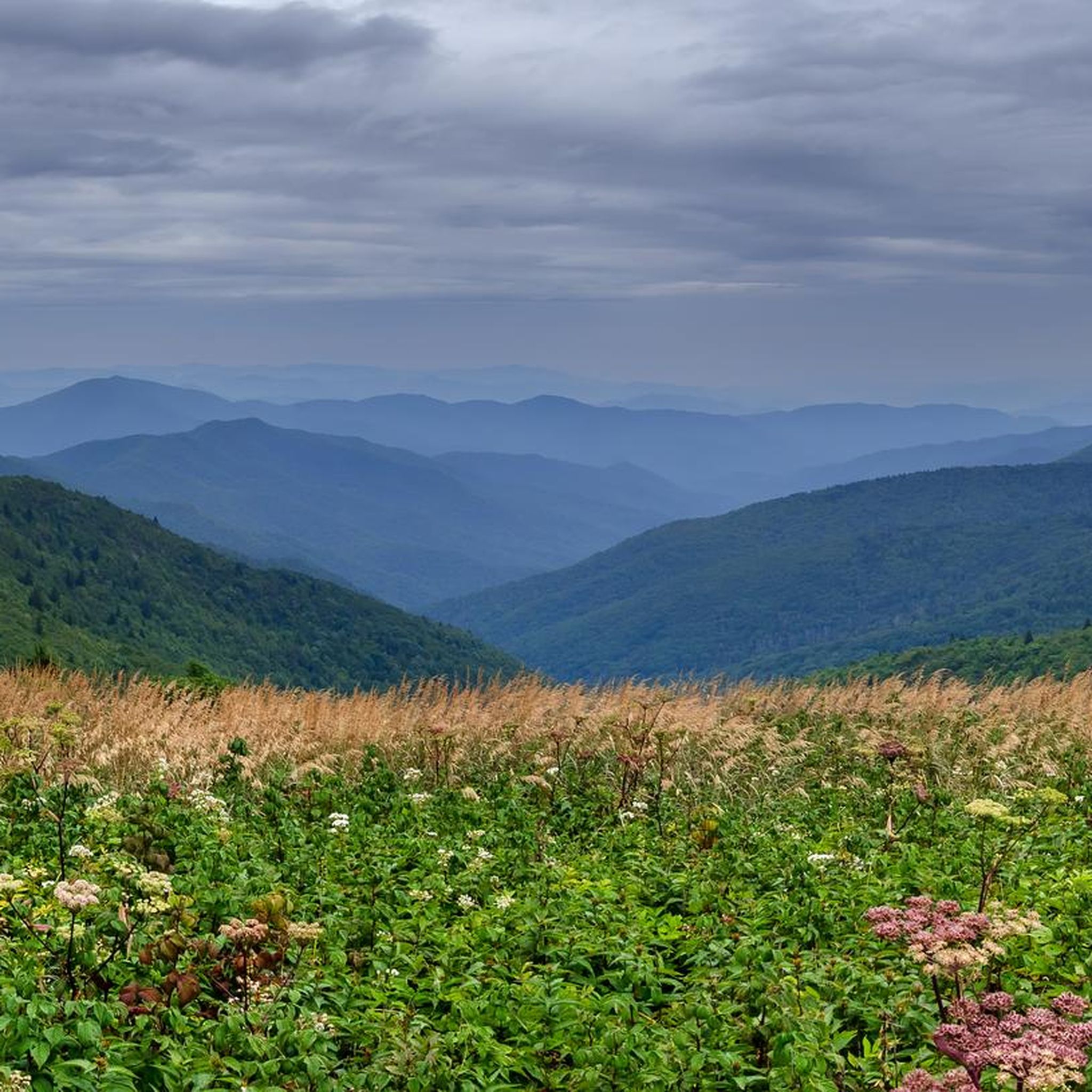
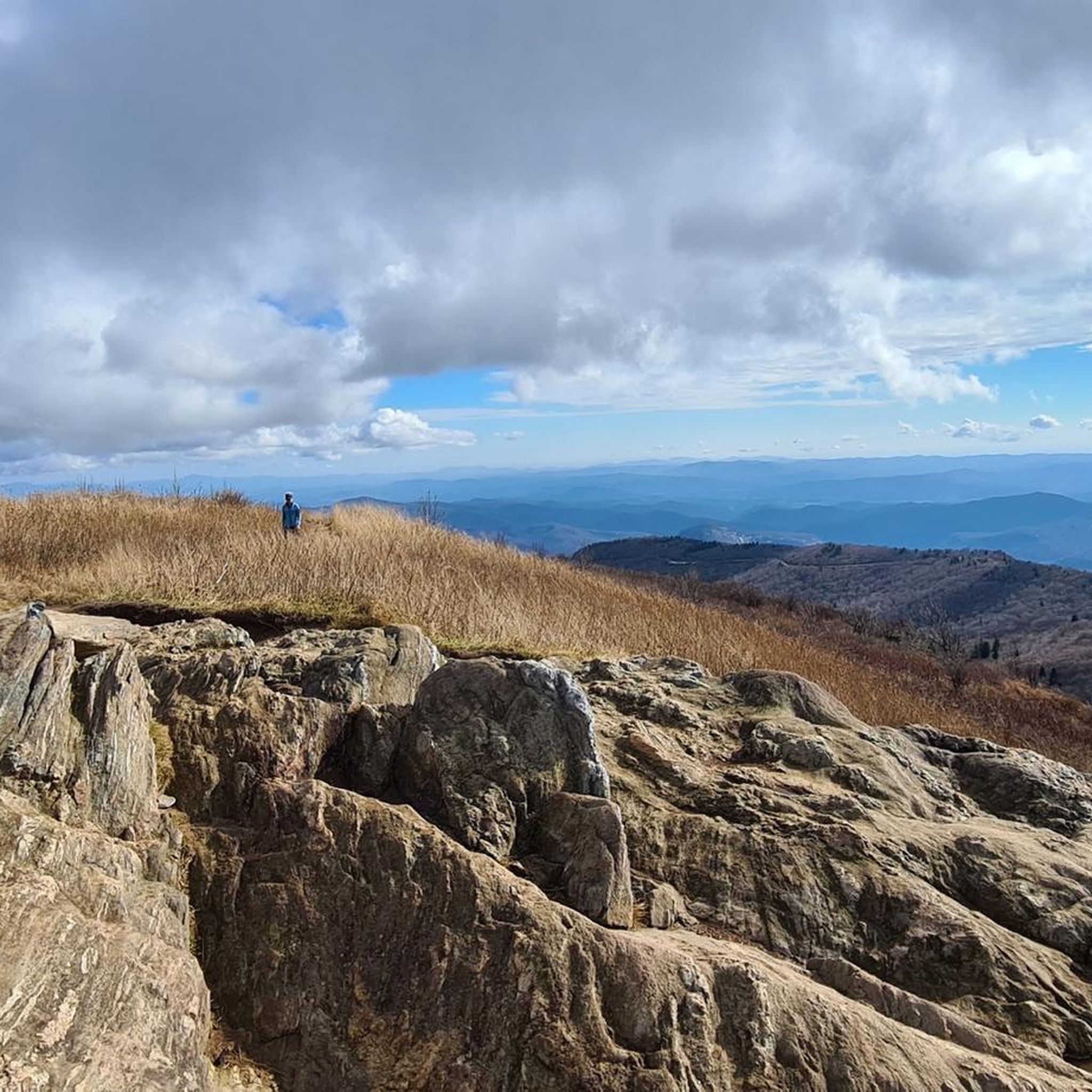
Tennent Mountain is a grassy bald with a rocky summit in the Great Balsams in Pisgah National Forest. Hiking the well-maintained Art Loeb Trail offers relatively easy access this breathtaking mountain views. At the summit, you'll find a large marker dedicated to Gaillard Stoney Tennent (1872-1953), who, according to the plaque, "established organized hiking in North Carolina."
0
0
Black Balsam Knob, standing at 6,214 feet, offers amazing views of the surrounding Blue Ridge Mountains and Great Balsam Mountains. This treeless bald is ideal for a short hike and attracts families, day hikers, picnickers, and photographers. You can extend your hike by continuing on the Art Loeb Trail to explore connecting trails for a loop hike. This is the second-highest peak the Great Balsam Mountains has to offer.
0
0

The Caney Bottom Falls are located just off of the Caney Bottom Trail. The falls are made up of a few small steps in the creekbed. These are not the highest falls in the area, but their smaller size means they keep water flow yearround.
0
0
The Davidson River flows through the Cove Creek area of Pisgah National Forest and creates several cascading rapids and waterfalls. Whaleback Falls and the swimming area can be easily accessed from the Cove Creek parking area; the pool varies in depth depending on the time of year. A more secluded adventure could include journeying on the Davidson River Trail.
0
0
Little Pisgah Mountain is neighbor to the more popular Mount Pisgah. At 4,412 feet, there is a balding edge of the mountain that offers views of some of the neighboring peaks. The summit sits on the Mountains-to-Sea Trail and is part of a conservation area.
0
0

Shining Rock is the largest wilderness area in North Carolina. Many mountains in the Wilderness are higher than 5,000 feet, and three peaks are higher than 6,000 feet. The trailhead is located at the crossing of several hiking trails.
1
0
Frequently Asked Questions
What is the general difficulty level of running trails in Shining Rock Wilderness?
Running in Shining Rock Wilderness is primarily challenging. Most of the 15 routes available on komoot are rated as difficult, with only a couple considered moderate. This region is known for its rugged mountain landscape, high elevation gains, and varied terrain, making it ideal for experienced runners.
Are there any running routes suitable for beginners in Shining Rock Wilderness?
While most routes are difficult, there are a few moderate options available. For instance, the Pink Beds Loop Trail loop from South Fork Mills River is a moderate 3.3-mile (5.3 km) route with minimal elevation change, offering a less strenuous experience compared to the more demanding mountain trails.
Where can I find a challenging running route in Shining Rock Wilderness?
For a challenging experience, consider the Shut-In Trail. This difficult 3.4-mile (5.5 km) route features significant elevation changes, providing a demanding workout through the wilderness terrain.
What are the typical lengths of running routes in Shining Rock Wilderness?
Running routes in Shining Rock Wilderness vary in length, generally ranging from moderate distances to longer, more enduring trails. You'll find routes like the Pink Beds Loop Trail at 3.3 miles (5.3 km) up to the extensive Dog Loser Knob – Old Butt Knob loop which spans 16.8 miles (27.1 km).
Are there specific trailheads for running in Shining Rock Wilderness?
Yes, several routes start from designated trailheads. Popular starting points include the Shining Creek Trailhead, Seniard Mountain, and Black Balsam Knob. These trailheads provide access to various running paths within the wilderness area.
Is there parking available near the running trails in Shining Rock Wilderness?
Parking is generally available at or near the main trailheads that serve the Shining Rock Wilderness area. Specific parking details can often be found on individual route pages or local forest service information, but expect limited facilities in this rugged wilderness setting.
What is the best time of year to go running in Shining Rock Wilderness?
The best time for running in Shining Rock Wilderness is typically from late spring through early fall (May to October). During these months, the weather is generally milder, and trails are more accessible. Fall offers stunning foliage, while summer provides lush greenery, though be prepared for potential afternoon thunderstorms.
Are there any considerations for winter running in Shining Rock Wilderness?
Winter running in Shining Rock Wilderness can be challenging due to snow, ice, and colder temperatures, especially at higher elevations. Trails may be less maintained, and conditions can change rapidly. Proper gear, including traction devices and warm layers, is essential, and it's advisable to check weather and trail conditions before heading out.
Are there any family-friendly running routes in Shining Rock Wilderness?
Given the rugged and challenging nature of Shining Rock Wilderness, most routes are not typically considered family-friendly for young children. However, the Pink Beds Loop Trail, being a moderate and relatively flat option, might be suitable for families with older children or those looking for a less strenuous outing.
Are dogs allowed on running trails in Shining Rock Wilderness?
Yes, dogs are generally allowed on trails in Shining Rock Wilderness, but they must be kept on a leash. As a wilderness area, it's important to practice Leave No Trace principles, including packing out all waste. Always ensure your dog is well-behaved and can handle the rugged terrain and potential wildlife encounters.
What can I see along the running routes in Shining Rock Wilderness?
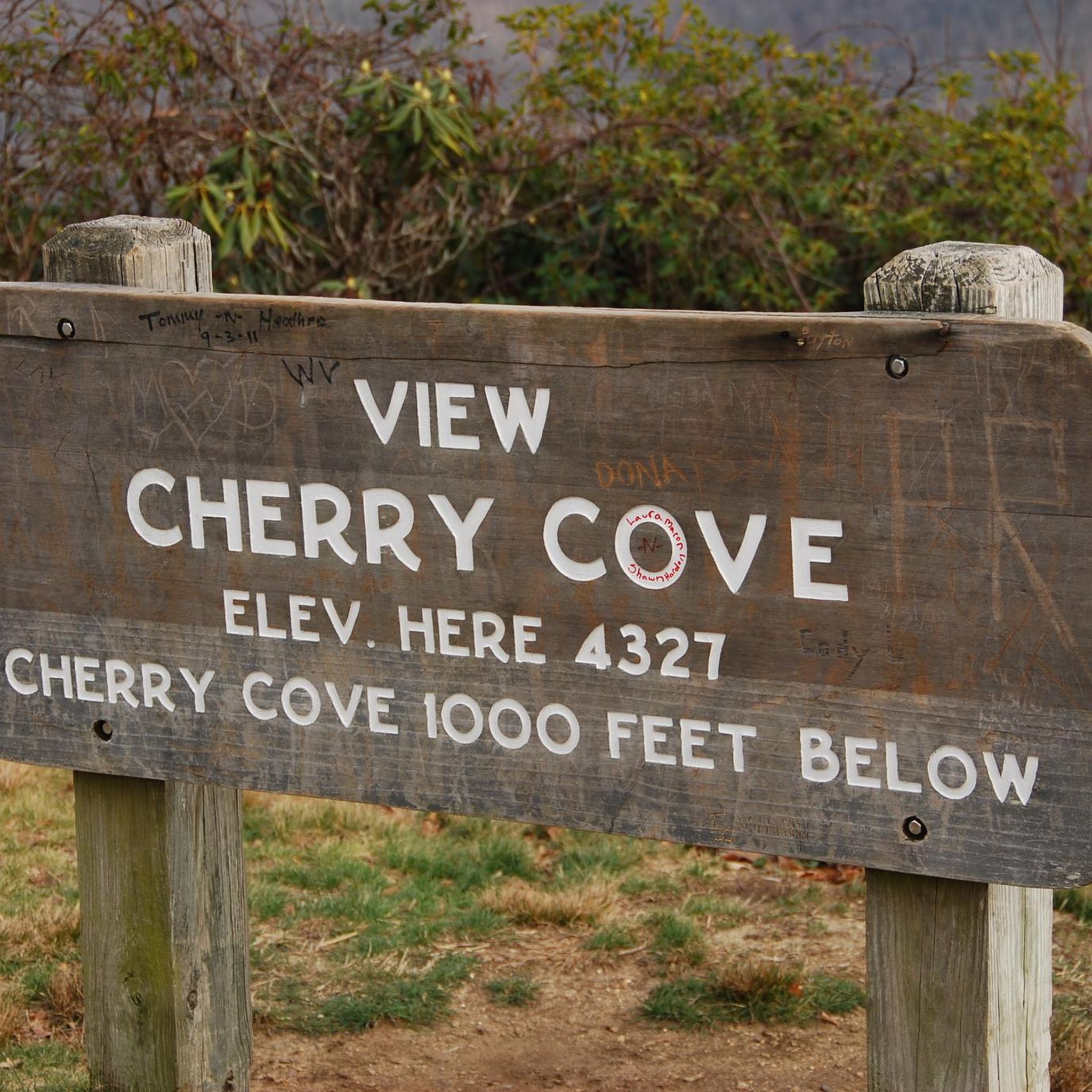
Running routes in Shining Rock Wilderness offer diverse scenery, from dense forests to panoramic mountain views. You might encounter notable landmarks such as Shining Rock Summit, Cold Mountain, and the scenic Cherry Cove Viewpoint. These routes often traverse high-altitude terrain, providing expansive vistas.
Are there any loop trails for running in Shining Rock Wilderness?
Yes, many of the running routes in Shining Rock Wilderness are designed as loops, offering varied scenery without retracing your steps. Examples include the Black Balsam Knob – Tennent Mountain summit loop and the Sam Knob – Devil's Courthouse Summit loop, both providing extensive circular paths through mountainous terrain.
What do other runners enjoy the most about jogging in Shining Rock Wilderness?
Runners often praise the challenging nature and the rewarding views found in Shining Rock Wilderness. The komoot community, with over 60 visitors, highlights the significant elevation changes, the rugged mountain landscape, and the opportunity to experience true wilderness. The panoramic vistas from summits like Black Balsam Knob and Tennent Mountain are frequently mentioned as standout features.
Most popular routes in Shining Rock Wilderness
Most popular attractions in Shining Rock Wilderness

Get inspired with the komoot mobile app


Explore more
Browse the best Running Trails & Routes in other regions.
