The best walks and hikes in Sandia Mountain Wilderness
4.8
(89)
1,444
hikers
20
hikes
Hiking in Sandia Mountain Wilderness offers experiences across a landscape defined by significant elevation changes. The region features trails that ascend from desert foothills into pinyon-juniper woodlands and higher-altitude spruce-fir forests. The terrain varies from rolling paths on the western slope to steep, rugged trails that climb toward the 10,678-foot (3,255 m) Sandia Crest. This ecological diversity supports a wide array of plant and animal life.
Best hiking trails in Sandia Mountain Wilderness
- The most popular hiking route is La Luz Trail, a 15.5 miles (24.9 km) trail that takes 10 hours 4 minutes to complete. This is a demanding route known for its sustained ascent and changing ecosystems.
- Another top favourite among local hikers is Sandia Peak loop, a moderate 3.1 miles (5.0 km) path. This route provides access to the high-altitude environment near the crest with less elevation gain.
- Local hikers also love the Piedra Lisa Southern Trail, a 4.2 miles (6.8 km) trail leading through the wilderness area's lower elevations, often completed in about 2 hours 52 minutes.
- Hiking in Sandia Mountain Wilderness is defined by rugged canyons, forested slopes, and high-elevation crest trails. The network of sandia mountain trails includes options for various ability levels, from short foothill hikes to strenuous mountain ascents.
- The routes in Sandia Mountain Wilderness are highly rated by the komoot community with an average score of 4.8 stars from over 60 reviews. More than 1,000 hikers have used komoot to explore Sandia Mountain Wilderness's varied terrain.
Last updated: July 8, 2026
4.7
(6)
85
hikers
12.7km
05:51
1,040m
60m
The La Luz Trail offers a remarkable journey through diverse ecosystems, starting in arid desert scrub and climbing into cool alpine forests of ponderosa pine and quaking aspen. As you ascend, the terrain shifts from wide dirt paths to a challenging talus field, known as the "rockslide," providing continuous panoramic views of Albuquerque and the Rio Grande Valley. It's a truly immersive experience, showcasing the dramatic landscape changes of the Sandia Mountains.
Planning your hike requires attention to current conditions; the upper section of the trail, including access to Sandia Crest, is closed until Fall 2027. You can still hike the difficult 7.9-mile (12.7 km) route up to the Sandia Peak Tramway, gaining 3419 feet (1042 metres) in about 5 hours and 50 minutes, with the option to ride the tram down. Start early to avoid the intense sun on the lower, exposed sections, and carry ample water as there are no facilities or potable water at the top during the closure.
This trail is renowned for its unique ecological progression, allowing you to experience multiple life zones in a single ascent. Historically, it's been a popular route for the challenging La Luz Trail Run, highlighting its strenuous nature. The ability to hike one-way and take the tramway down makes it a flexible option for those seeking a significant physical challenge without the full round-trip descent.
4.5
(2)
22
hikers
8.78km
03:24
340m
340m
The South Crest and Faulty Trails Loop offers a dynamic journey through the Sandia Mountains, where the landscape dramatically shifts from high desert to lush alpine forest. You'll traverse rocky singletrack through juniper and piñon pines, then climb into dense ponderosa and spruce forests, with glimpses of quaking aspen. The route provides a unique opportunity to experience these ecological transitions, offering both open vistas and shaded forest paths, with Travertine Falls as a small point of interest near the beginning.
This moderate 5.5-mile (8.8 km) hike involves a significant 1123 feet (342 metres) of elevation gain, typically taking around 3 hours and 24 minutes. The trailhead is easily accessible from Albuquerque, but always carry plenty of water, as the South Crest Trail can be very dry. Be aware that summer access might be restricted due to fire danger, and upper sections can be snow-covered in winter, so check conditions before heading out.
What makes this loop particularly appealing is its ability to combine the challenging ascent of the South Crest Trail with the more 'flowy' sections of the Faulty Trail, creating a diverse experience. It's a great choice for hikers seeking a solid workout and varied scenery, including panoramic views along the crest of the Sandia Mountains, without the full commitment of longer, harder routes in the area. The interconnected trail system also allows for various loop configurations to suit different preferences.

Sign up for free
4.5
(2)
11
hikers
6.70km
02:26
190m
190m
You can enjoy a moderate hike on the North Sandia Peak via North Crest Trail, covering 4.2 miles (6.7 km). This route involves an elevation gain of 628 feet (191 metres) and typically takes about 2 hours and 26 minutes to complete. As you ascend, you will pass through varied terrain, including rocky sections and dirt paths that wind through dense forest. Look for the prominent rock formations below North Sandia Peak. The trail offers views of the Sandia Crest folds, leading to a wide vista of the Albuquerque area from the peak itself.
The trailhead is conveniently located north of the Sandia Crest parking area, making it easy to start your adventure. While the hike is rated moderate, be aware that some parts of the trail might have loose rock underfoot. The route is especially popular in the autumn when the aspen groves display vibrant yellow colors. During winter, when there is deep snow, the trail transforms into a spectacular option for snowshoeing and cross-country skiing.
This trail is situated within the Cibola National Forest, offering a rewarding experience for those seeking a balanced challenge. The panoramic view of the Albuquerque area from North Sandia Peak is a key highlight of the journey. Keep an eye out for the overlook of Del Agua Canyon, particularly during the fall season when the foliage is at its peak.
10
hikers
27.7km
11:33
1,220m
1,960m
Embark on a demanding journey up South Sandia Peak via Embudito Trail, a difficult hike spanning 17.2 miles (27.7 km). You will gain a significant 4013 feet (1223 metres) in elevation, requiring about 11 hours and 32 minutes to complete. The route offers a striking transition from arid foothills dotted with cacti to lush forests of ponderosa pine and aspen, culminating in expansive views of the Sandia Crest as you approach the summit.
Planning your visit requires careful consideration for this full-day adventure. The trailhead is easily accessible from Albuquerque, but be prepared for exposed, dry conditions in the lower sections; carrying ample water is essential. As you ascend, the path can become rough with loose pebbles, so hiking poles are highly recommended, especially for the descent, to maintain stability.
This trail is notable for its dramatic ecological shifts and panoramic vistas. Starting in the high desert, you'll witness the unique flora of Embudito Canyon before climbing into cooler, forested zones. Keep an eye out for local wildlife, such as roadrunners and Abert's squirrels, which add to the natural charm of this challenging ascent to South Sandia Peak.
6
hikers
15.3km
06:35
960m
650m
The South Sandia Peak via South Crest and CCC Trail Loop offers a diverse journey through the Sandia Mountains, transitioning from shaded canyonlands to pinyon and juniper forests, and eventually opening into pleasant mountain meadows near the summit. You'll encounter unique features like Travertine Falls early on, and the final push to South Sandia Peak rewards you with expansive views across central New Mexico. This difficult hike covers 9.5 miles (15.3 km) with a substantial 3157 feet (962 metres) of elevation gain, making it a demanding yet highly rewarding experience.
Planning for this 6-hour and 35-minute adventure means preparing for a significant physical challenge. The CCC Trail is known for its extreme steepness and can be unmaintained, so be ready for a tough climb or descent, while the South Crest Trail offers a more gradual alternative. As the entire route is within the Sandia Mountain Wilderness, expect a rugged path and ensure you carry enough water and supplies for a full day out.
This
Get access to more routes and recommendations from other explorers.
Sign up for free
Already have an account?
Our route recommendations are based on thousands of hikes, rides, and runs completed by other people on komoot.
Start today with a free account
Your next adventure awaits.
Login or Signup
Popular around Sandia Mountain Wilderness

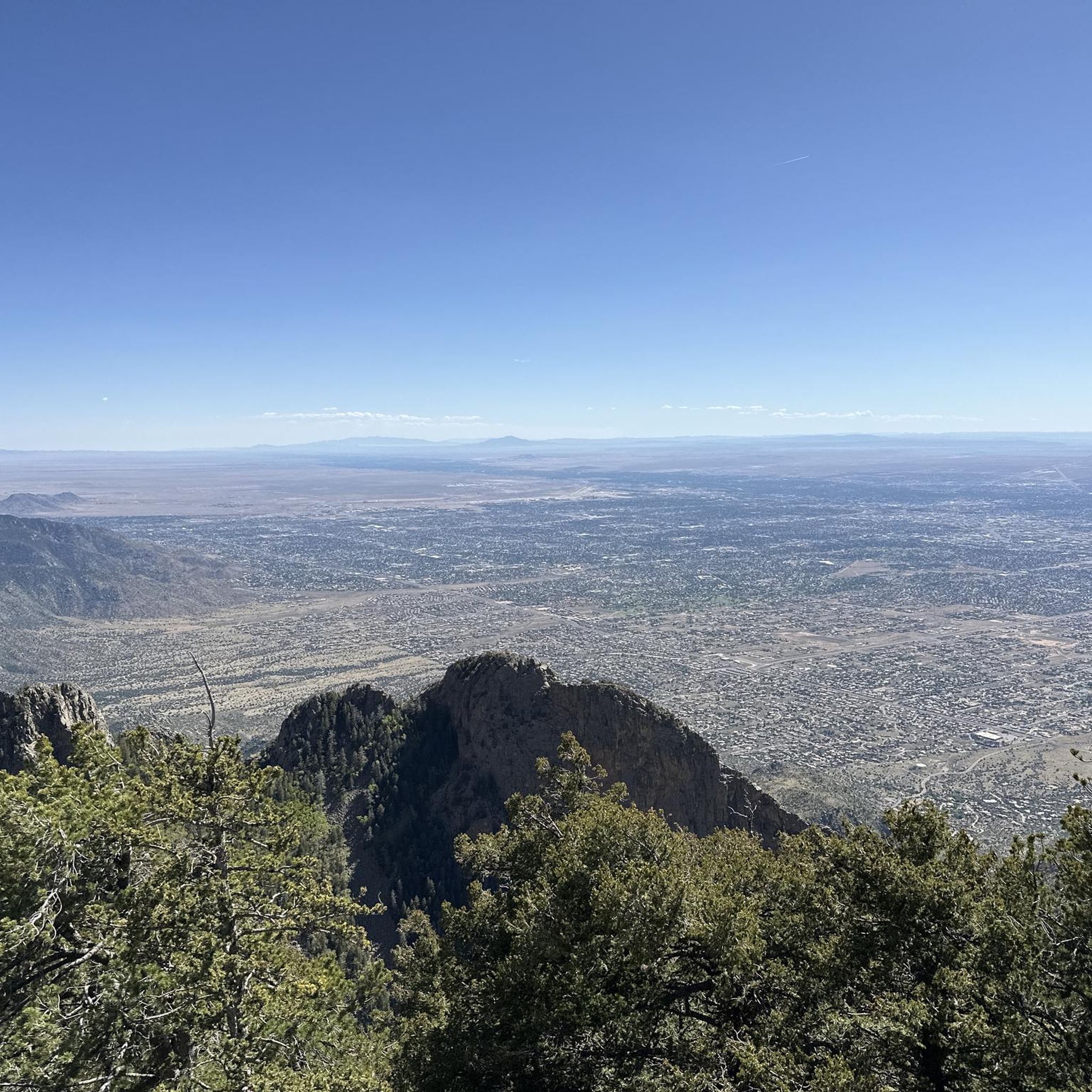
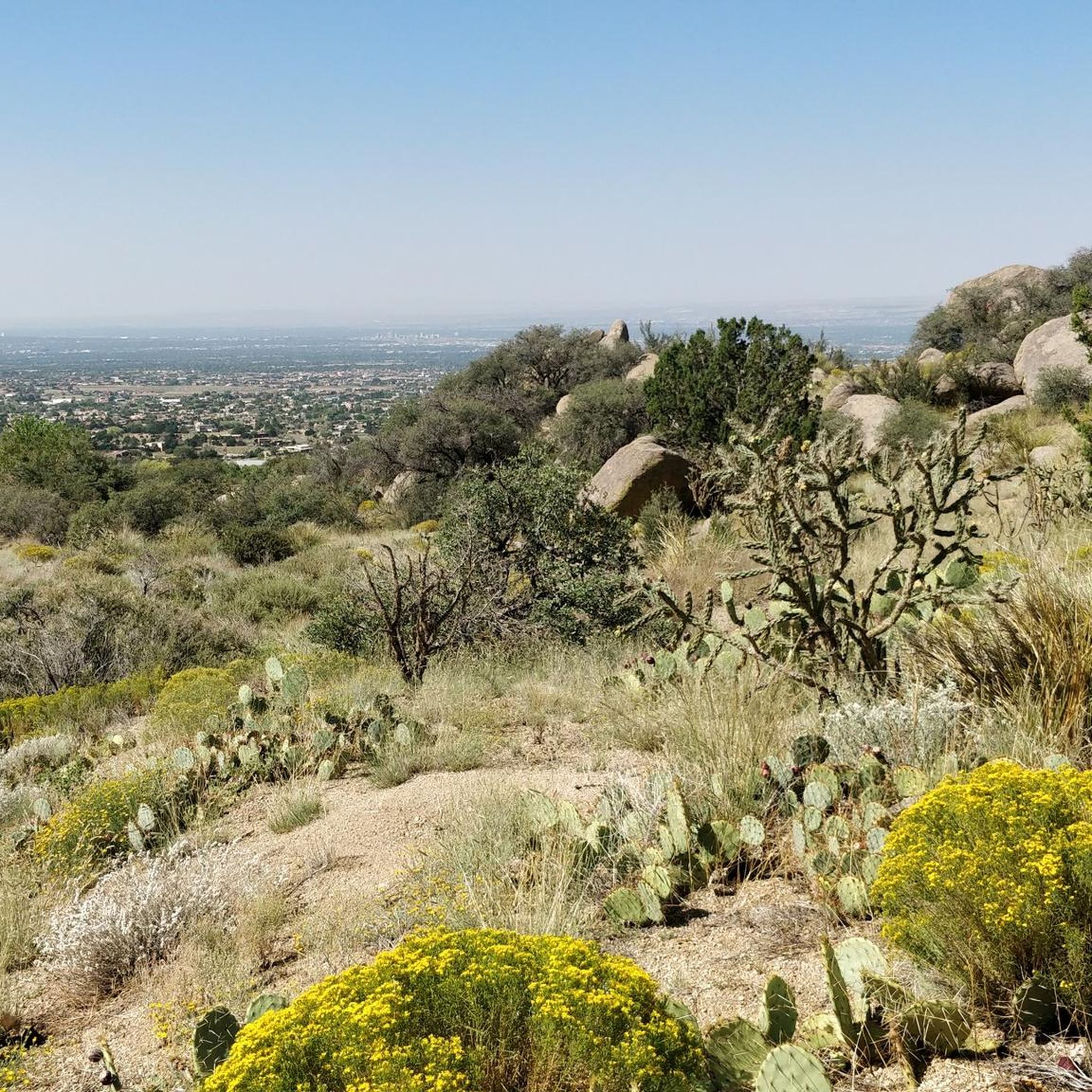
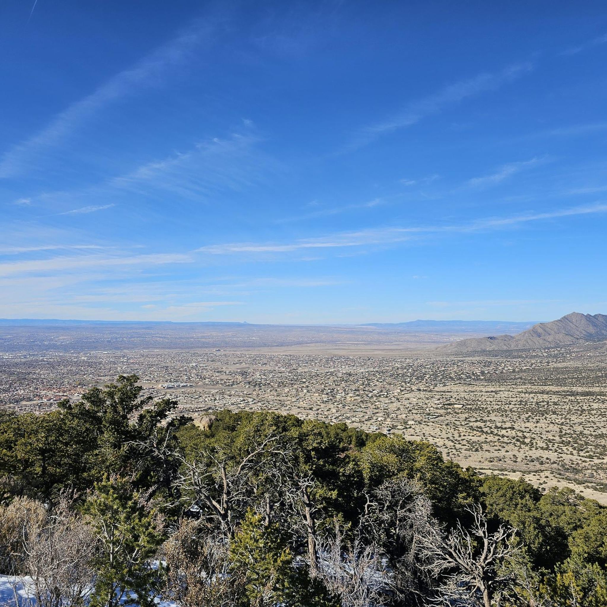

Other adventures in Sandia Mountain Wilderness

Tips from the Community


Two small caves with a waterfall that is more or less visible depending on the season and that you can also climb.
0
0

This peak sees less traffic than the primary Sandia Peak to the north, so it's a nice opportunity for a getaway from the crowds. You'll still get stunning views from the top, though, along with a good sweat, as every route up involves quite a bit of elevation gain. The name of this peak (and the entire ridgeline it inhabits) means "watermelon" in Spanish; it refers to the lovely pinkish color these mountains take on when hit by low-angle sun.
1
0

Sandia Crest mountains are just south of the end of the Rocky mountains, and in the Sandia-Manzano Mountain range. Sandia Crest Peak reaches a height of 10,678 feet (3,255 m) above sea level. It is known to get windy up here, and it is much colder due to the elevation and exposure. Right here at the top, there is also the Sandia Crest House Gift Shop.
0
0

Cañon La Cueva Overlook captivates with its breathtaking vistas in New Mexico over the Sandia Mountain Wilderness. Perched high above rugged canyons, the overlook provides a mesmerizing glimpse into the diverse and awe-inspiring landscapes below.
0
0

Ponderosa Point is an awesome viewpoint that looks back down the valley and across the ridges of the range. The viewpoint is at the end of a short spur trail that branches off of the main trail at the intersection of La Luz Trail and Old La Luz Trail.
0
0

At an elevation of 10,678 feet, Sandia Crest is the highest in the Sandia Mountains. What sets this mountain range apart is there's no true summit; instead, it features a ridge line. During sunset, the vibrant colors in the sky explain why this area earned its name, which means "watermelon" in Spanish.
0
0
At an elevation of 10,446 feet, this peak marks the northernmost summit in the Sandia Mountain wilderness over 10,000 feet. The views from this vantage point are truly breathtaking, offering a panoramic vista of the Albuquerque area.
1
0
Frequently Asked Questions
Are dogs allowed on the trails in Sandia Mountain Wilderness?
Yes, dogs are generally permitted on trails within the Sandia Mountain Wilderness, but they must be kept on a leash at all times to protect wildlife and ensure the safety of other hikers. Always be sure to pack out any waste.
What is the best time of year to hike in the Sandias?
The best seasons for hiking are spring and fall when temperatures are moderate. Summer can be very hot, especially at lower elevations, so early morning starts are recommended. Winter hiking is possible, but trails at higher elevations will have snow and ice, requiring appropriate gear like microspikes and poles.
Are there any easy hikes suitable for beginners or families?
Yes, the foothills on the western side of the mountains offer several easier trails with less elevation gain. For a gentle high-altitude experience, the Sandia Peak loop is a great option, providing stunning views from the crest without a strenuous climb.
What should I pack for a day hike in the Sandia Mountains?
Due to the dramatic elevation changes, weather can shift quickly. Essential items include:
Water: Bring more than you think you'll need, as the climate is very dry.
Layers: Pack extra clothing, including a rain jacket, as temperatures can drop significantly at higher altitudes.
Sun Protection: A hat, sunglasses, and sunscreen are crucial.
Navigation: A map or a GPS device, as cell service can be unreliable.
Footwear: Sturdy hiking shoes are recommended for the rocky terrain.
Is it possible to hike in the Sandia Mountains during winter?
Hiking in winter is possible, particularly on the lower-elevation foothill trails. However, trails at higher altitudes, like those near the crest, are often covered in snow and ice. If you plan to hike in these areas, you must have proper winter gear, including microspikes or crampons, trekking poles, and warm, waterproof layers.
What's a good option for a challenging, full-day hike?
For a strenuous and rewarding challenge, the Embudito Canyon Trail loop is an excellent choice. This difficult route involves significant elevation gain and rugged terrain, taking you deep into a scenic canyon.
What kind of wildlife might I see in the Sandia Mountain Wilderness?
The diverse ecosystems support a variety of wildlife. At lower elevations, you might see lizards and roadrunners. As you ascend, keep an eye out for mule deer, rock squirrels, and Abert's squirrels. Black bears are also present in the wilderness, so it's important to be bear-aware. The mountains are also a major migration route for raptors in the spring and fall.
How many hiking trails are in the Sandia Mountain Wilderness?
There are over 100 designated trails in the Sandia Mountain Wilderness, covering more than 117 miles. The network ranges from short, accessible paths in the foothills to long, strenuous routes that climb to the crest, offering options for all skill levels.
What do other hikers enjoy about the Sandia Mountain Wilderness?
The area is highly rated by the komoot community. Reviewers often praise the dramatic views of Albuquerque and the surrounding landscape, the incredible biodiversity experienced as you change elevation, and the well-maintained yet rugged character of the trails.
Are there any hikes that lead to waterfalls?
Yes, you can hike to Travertine Falls. It's a short but popular hike that leads to a unique geological feature where water flows over travertine rock formations. The falls are most impressive after recent rainfall or during the spring snowmelt.
What are the parking and access options for the trailheads?
Most major trailheads, such as those for the La Luz and Pino trails, have dedicated parking areas. These can fill up quickly, especially on weekends, so arriving early is recommended. Some trailheads require a small day-use fee or a valid national forest pass. For access to the crest, you can also use the Sandia Peak Aerial Tramway.
Can I hike to the top of Sandia Crest?
Yes, several trails lead to the 10,678-foot Sandia Crest. The most famous is the La Luz Trail, a very demanding one-way ascent. Another option is to hike along the South Crest Trail. Many hikers choose to take the Sandia Peak Aerial Tramway one way to make the journey less strenuous.
Most popular routes in Sandia Mountain Wilderness
Most popular attractions in Sandia Mountain Wilderness

Get inspired with the komoot mobile app


Explore more
Browse the best Hikes in other regions.
