The best road cycling routes in San Mateo Canyon Wilderness
4.6
(8)
91
riders
11
rides
Road cycling in San Mateo Canyon Wilderness features routes traversing varied terrain within Riverside County. The region is characterized by canyons, rolling hills, and significant elevation changes, providing diverse challenges for road cyclists. Routes often follow scenic roads that wind through the natural landscape, connecting different points of interest. The area offers a range of road cycling experiences, from moderate climbs to more extensive, difficult routes.
Best road cycling routes in San Mateo Canyon Wilderness
- The most popular road cycling…
Last updated: July 8, 2026
13
riders
60.4km
03:05
860m
860m
Moderate road ride. Good fitness required. Some segments of this route may be unpaved and difficult to ride.
1
riders
28.7km
01:51
800m
800m
Moderate road ride. Good fitness required. Mostly well-paved surfaces and easy to ride.

Sign up for free
7
riders
120km
05:50
1,420m
1,420m
Hard road ride. Very good fitness required. Mostly well-paved surfaces and easy to ride.
5.0
(1)
4
riders
21.9km
01:03
270m
270m
Easy road ride. Great for any fitness level. Mostly well-paved surfaces and easy to ride.
3.0
(2)
11
riders
25.7km
01:03
90m
90m
Easy road ride. Great for any fitness level. Mostly well-paved surfaces and easy to ride.
Get access to more routes and recommendations from other explorers.
Sign up for free
Already have an account?
Our route recommendations are based on thousands of hikes, rides, and runs completed by other people on komoot.
Start today with a free account
Your next adventure awaits.
Login or Signup
Popular around San Mateo Canyon Wilderness
Tips from the Community

Cole Canyon Natural Park is 165 acres of woodlands and grasslands. There are around 4 miles of multi-use trails that cut through the park.
1
0

There is still a little market to resupply. Awesome muffins! Just go past the gas pumps and you can't miss it.
0
0

This spot used to be Rainbow Oaks Country Market, but it is now Rainbow Oaks Restaurant. It offers full-service meals.
0
0
The City of Temecula Civic Center is a beautiful multipurpose facility that hosts events and houses the city's municipal offices.
0
0
This park has a peaceful duck pond that is surrounded by paved paths and benches. There's also a memorial with plaques and statues that honor the local service men and women.
0
0
The Temecula Valley Museum is a museum that offers permanent and temporary exhibits exploring the area's history and culture.
0
0

If you're cranking out some elevation gain in an early morning ride, this is a great place to stop for a breakfast — or just pause to enjoy the really spectacular views out over Lake Elsinore.
0
0
Frequently Asked Questions
How many road cycling routes are available in San Mateo Canyon Wilderness?
There are over 10 road cycling routes documented in San Mateo Canyon Wilderness, offering a variety of experiences for different skill levels. The komoot community has explored these routes extensively, providing valuable insights.
What is the general difficulty level for road cycling in San Mateo Canyon Wilderness?
San Mateo Canyon Wilderness offers a mix of difficulties. You'll find 4 easy routes, 6 moderate routes, and 3 difficult routes, catering to beginners looking for a relaxed ride as well as experienced cyclists seeking a challenge. The terrain often includes canyons, rolling hills, and significant elevation changes.
Are there any beginner-friendly road cycling routes in the area?
Yes, there are several easier options. For instance, the Lake Elsinore loop is an easy 16-mile (25.7 km) ride with minimal elevation gain, perfect for a more relaxed experience. Another easy option is the Historic Downtown Riverwalk (Temescal Wash Trail) loop.
What are some challenging road cycling routes for advanced riders?
For advanced cyclists, the City of Temecula Civic Center – Old Town Temecula loop from Ortega Oaks Plaza is a difficult 73.2-mile (117.8 km) route with over 4,500 feet (1,380 m) of elevation gain, typically taking nearly 6 hours to complete. This route provides a substantial test of endurance and climbing ability.
Are there any loop trails for road cycling in San Mateo Canyon Wilderness?
Yes, many of the routes in San Mateo Canyon Wilderness are designed as loops. A popular option is the Cole Canyon Natural Park loop from Tenaja Trailhead, which is a moderate 37.5-mile (60.4 km) ride through varied terrain and elevation changes.
What is the typical duration for road cycling routes in this region?
Route durations vary significantly based on distance and elevation. You can find shorter rides like the Ortega Highway to Ortega Oaks Candy Store, which is a moderate 17.8-mile (28.7 km) path taking around 1 hour 50 minutes. Longer, more challenging routes can extend to over 5 hours, such as the City of Temecula Civic Center – Old Town Temecula loop from Ortega Oaks Plaza.
What kind of scenery can I expect while road cycling in San Mateo Canyon Wilderness?
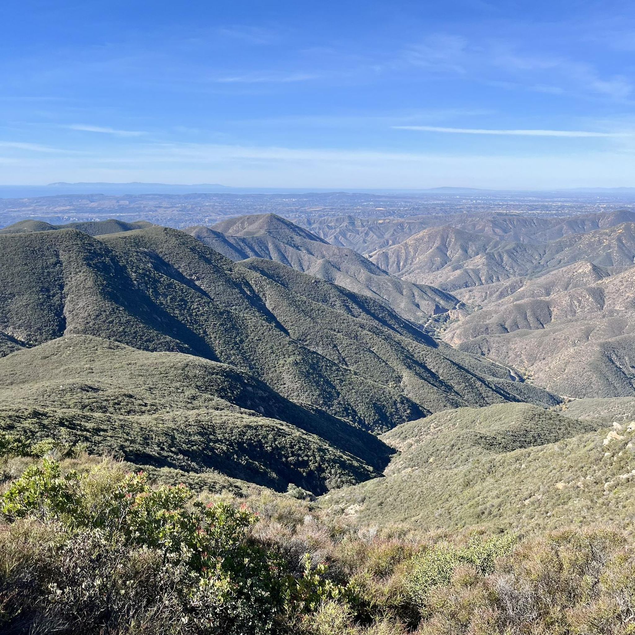
The region is characterized by diverse natural beauty, including deep canyons, rolling hills, and open road sections. Routes often wind through natural parks and scenic corridors, offering views of the varied landscape of Riverside County. You'll experience a mix of natural environments and sometimes pass through areas with local charm.
Is parking readily available for road cyclists in San Mateo Canyon Wilderness?
Parking availability can vary depending on the specific trailhead or starting point. Many routes, like those starting from Tenaja Trailhead or Ortega Oaks Plaza, typically have designated parking areas. It's always advisable to check the route details on komoot for specific parking information before you go.
What is the best time of year to go road cycling in San Mateo Canyon Wilderness?
The best time to road cycle in San Mateo Canyon Wilderness generally depends on personal preference for weather. Spring and fall often offer milder temperatures, making for comfortable rides. Summers can be hot, especially in the middle of the day, while winters are typically mild but can bring occasional rain. Always check the local forecast before heading out.
Are there any cafes or places to refuel along the road cycling routes?
While the wilderness areas themselves are natural, some routes pass near or through towns where you can find amenities. For example, the Ortega Highway to Ortega Oaks Candy Store route explicitly mentions a candy store, which can be a fun stop. For other routes, you might find cafes or stores in nearby communities like Temecula or Lake Elsinore, depending on your chosen path.
What do other road cyclists enjoy most about road cycling in San Mateo Canyon Wilderness?
The area is highly rated by the komoot community, with an average score of 4.0 stars. Reviewers often praise the varied terrain and elevation changes that provide both scenic beauty and a good workout. Many appreciate the feeling of being immersed in nature while still having well-defined roads to cycle on.
What should I consider regarding weather conditions when planning a ride?
Given the region's climate, it's important to consider temperature fluctuations. Summers can be very warm, so early morning or late afternoon rides are often preferred. Winters are generally mild, but occasional rain can make roads slick. Always check the forecast and dress in layers to adapt to changing conditions, especially with elevation changes.
Most popular routes in San Mateo Canyon Wilderness

Get inspired with the komoot mobile app


Explore more
Browse the best Road cycling routes in other regions.
