The best cycling routes in Pond Mountain Wilderness
2
riders
3
rides
If you've ever tried to plan touring cycling in Pond Mountain Wilderness, you know how overwhelming the options can be. Sifting through countless routes to find the ones genuinely worth your time and effort can feel like a full-time job, especially when you're trying to tell the true highlights from the filler. That's where we come in. Our komoot community has ridden, mapped, and reviewed these routes, so we've curated a shortlist of the best, saving you the guesswork and…
Last updated: May 29, 2026
46.3km
03:00
620m
620m
The Stateline Tour Loop offers a challenging touring cycling experience, winding through a landscape that includes highlights like The Watershed Trails and Simerly Creek Road. With 28.8 miles (46.3 km)…
54.4km
03:24
610m
610m
The Stateline Tour Loop offers a diverse and challenging touring cycling experience through picturesque mountainous landscapes. You'll navigate significant elevation gains and varied terrain, with forested sections giving way to…

46.8km
03:11
740m
740m
For touring cyclists in Hampton, Tennessee, the Tiger Creek Road, Ripshin Lake loop offers a truly challenging yet rewarding experience through forested mountains. You'll navigate winding roads, with the highlight…
2
riders
29.9km
02:08
520m
520m
If you're up for a serious pedal, the Watauga Dam and Watauga Dam Visitor Center loop from Watauga Valley delivers a challenging touring cycling experience. This difficult 18.6-mile (29.9 km)…
16.7km
01:04
160m
160m
If you're looking for a pleasant, accessible touring cycling route near Elizabethton, Tennessee, the Blue Springs loop from Unaka High School is a solid choice. This route offers a moderate…
Our route recommendations are based on thousands of hikes, rides, and runs completed by other people on komoot.
Start today with a free account
Your next adventure awaits.
Popular around Pond Mountain Wilderness
Tips from the Community

US E 19 runs on one side of the Doe River and the Old Railroad Grade Road on the other. If you are cycling, the Old Railroad Grade Road is the best option with the river on one side and the mountains on the other. There is very little traffic and you can avoid the noise and cars of US E 19.
0
0
Tiger Creek Road is a classic cycling road for this area. It is a winding mountain road with forest all around and not too much traffic. If climbing it, be warned, there are some pretty steep sections. It is fun either up or down.
0
0
Ripshin Lake is a beautiful lake right next to the Roaring Creek Road. The lake and the land around it is private so there isn't a park or swimming area but the view of the lake is really nice, especially in the fall with the changing colors of the leaves.
0
0
This is a lovely place with nice views of the lake. You can get information about the area and there is a short trail that takes you down to the lake. The visitor center is open from 9 to 5 most days.
0
0
This dam sits right next to the road. It is between 70 and 80 feet tall and an interesting place to stop for a photo. It was completed in 1912 making it one of the oldest dams in the area.
0
0

The Appalachian Trail passes right over the top of Watauga Dam and looks over Watauga Lake. With the Pond Mountain Wilderness to the south and the Big Laurel Branch Wilderness to the north, this is a wild and secluded part of the AT. Once you get away from the boaters at the marina, you'll have a lot of solitude in either direction.
0
0
Unaka High School is a good reference point if you are riding up Stony Creek Road from Elizabethon. You can't miss it. It is a large high school right off the road. During the weekends you can usually leave your car next to the baseball fields if you need a place to park. From here there are several nice cycling loops like the Hollows of Stoney Creek Loop or the Blue Springs Loop.
0
0
Blue Springs Road is beautiful hilly road with old barns and farms all around. It is a winding, two lane road with very little traffic. It is not flat but there are no really long hard climbs and can be done by most intermediate riders.
0
0
Frequently Asked Questions
How many touring cycling routes are available in Pond Mountain Wilderness?
Komoot features 5 touring cycling routes in Pond Mountain Wilderness. These routes are generally challenging, with significant elevation changes, reflecting the rugged nature of the region.
What is the general difficulty level for touring cycling in Pond Mountain Wilderness?
Touring cycling in Pond Mountain Wilderness is predominantly challenging due to the region's steep and rugged terrain. Most routes are rated as 'difficult,' featuring substantial climbs and descents. There is one route, the Blue Springs loop from Unaka High School, rated as 'moderate' for those seeking a slightly less strenuous option.
Are there any circular touring cycling routes in Pond Mountain Wilderness?
Yes, several touring cycling routes in the area are designed as loops. For example, the Stateline Tour Loop and the Tiger Creek Road, Ripshin Lake loop from Hampton are popular circular options, allowing cyclists to start and end at the same point.
What kind of landscapes can I expect to see on a touring bike ride here?
The routes traverse a dramatic landscape characterized by upland hardwoods, rocky outcroppings, and views of surrounding mountains. You'll encounter steep inclines and forested roads, with some routes offering glimpses of waterways and potentially expansive views from higher elevations.
Are there any specific natural features or landmarks to look out for on these routes?
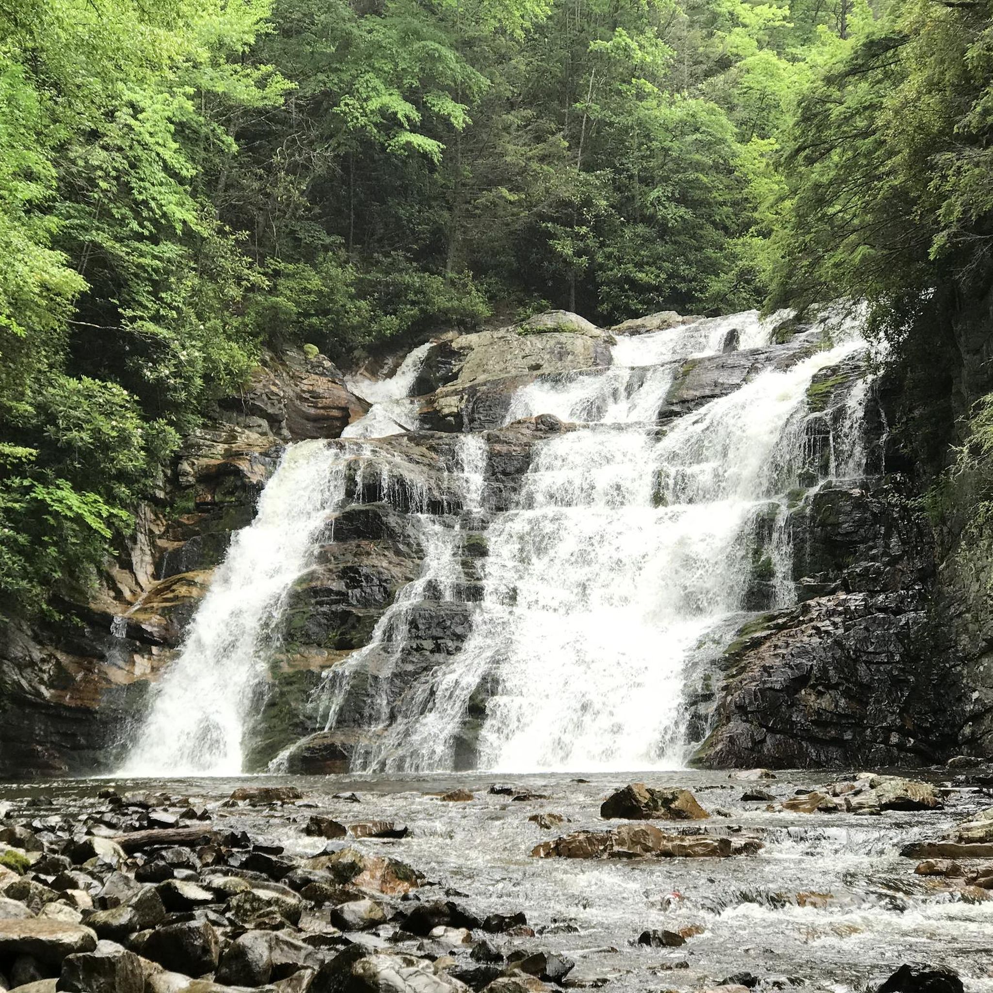
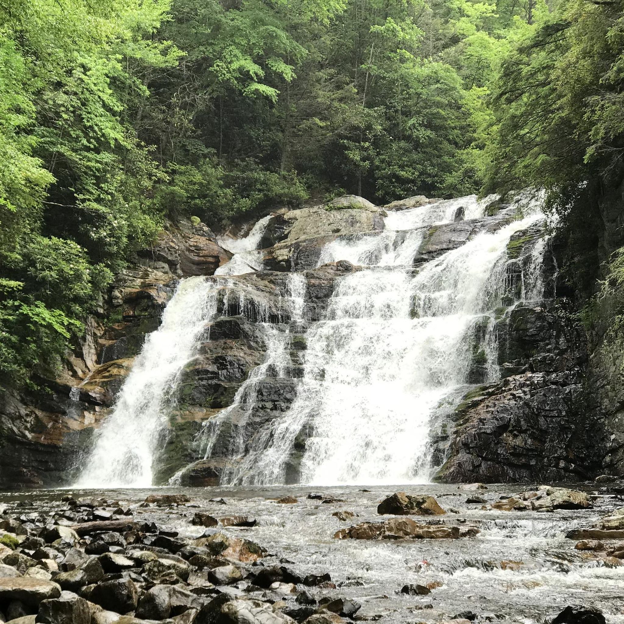
While the touring routes themselves might not directly pass through the most rugged parts of the wilderness, the broader region is known for its dramatic topography, including the 4,329-foot Pond Mountain and geological formations like Buckled Rock. The area also features cascading waterfalls, particularly in the Laurel Fork Gorge, such as Laurel Falls, which are accessible via hiking trails nearby.
What is the best time of year for touring cycling in Pond Mountain Wilderness?
Spring and fall generally offer the most pleasant conditions for touring cycling in Pond Mountain Wilderness. Spring brings blooming wildflowers, while fall showcases vibrant foliage. Summers can be hot and humid, and winters may present challenging conditions due to cold temperatures and potential ice or snow on higher elevations.
Are there any family-friendly touring cycling options in the area?
The touring cycling routes within Pond Mountain Wilderness are generally rated as difficult, making them less suitable for young families or beginner cyclists. However, for families seeking easier cycling, the surrounding Carter County, Tennessee, offers alternatives like the Tweetsie Trail, a 10-mile crushed gravel rail-trail that is suitable for all ages.
Can I bring my dog on these touring cycling routes?
While many trails in the broader region are dog-friendly, it's always best to check specific regulations for each route or area within Pond Mountain Wilderness, especially if trails enter protected areas. Given the challenging nature of these touring routes, ensure your dog is fit enough for the distance and elevation, and always keep them on a leash.
Where can I find parking for touring cycling routes in Pond Mountain Wilderness?
Specific parking information varies by route starting point. Many routes begin near towns like Hampton, which may offer public parking. For routes deeper within the wilderness, designated trailheads or forest service roads often provide parking, though facilities might be limited. Always check route details for specific parking recommendations.
Are there any cafes or places to eat near the touring cycling routes?
The immediate vicinity of the wilderness is quite remote. For amenities like cafes, pubs, or accommodation, you would typically need to visit nearby towns such as Hampton, Tennessee. It's advisable to plan your route to pass through or start near these towns if you require services.
What is the longest touring cycling route available in Pond Mountain Wilderness?
The longest touring cycling route featured is a version of the Stateline Tour Loop, covering approximately 54.4 kilometers (33.8 miles). This route offers an extensive ride through varied landscapes with significant elevation changes.
Are there any touring cycling routes that offer views of Watauga Dam?
Yes, the Watauga Dam and Watauga Dam Visitor Center loop from Watauga Valley is a difficult touring cycling route that specifically includes views of the Watauga Dam and its visitor center, offering a scenic experience around the reservoir.
Most popular routes in Pond Mountain Wilderness

Get inspired with the komoot mobile app


Explore more
Browse the best Cycling routes in other regions.
