Magic Mountain Wilderness
Magic Mountain Wilderness
The best running trails in Magic Mountain Wilderness
48
runners
7
runs
Jogging in Magic Mountain Wilderness offers a diverse range of running routes through varied landscapes. The region features distinctive rock formations, such as those found in the Vasquez Rocks area, alongside trails winding through state parks and canyons. Runners can expect paths with moderate to significant elevation changes, providing both scenic views and challenging workouts. The terrain includes natural park environments and open spaces, suitable for different running preferences.
Best jogging routes in Magic Mountain Wilderness
- The most popular jogging…
Last updated: September 25, 2026
8
runners
14.3km
01:50
330m
330m
Hard run. Very good fitness required. Mostly paved surfaces. Suitable for all skill levels.
11.7km
01:38
520m
520m
Hard run. Very good fitness required. Mostly paved surfaces. Suitable for all skill levels.

5
runners
8.32km
01:02
200m
200m
Moderate run. Good fitness required. Mostly accessible paths. Some sure footedness required.
13
runners
22.6km
03:04
690m
690m
Hard run. Very good fitness required. Mostly paved surfaces. Suitable for all skill levels.
3
runners
5.55km
00:36
110m
110m
Moderate run. Good fitness required. Mostly paved surfaces. Suitable for all skill levels.
Get access to more routes and recommendations from other explorers.
Already have an account?
Our route recommendations are based on thousands of hikes, rides, and runs completed by other people on komoot.
Start today with a free account
Your next adventure awaits.
Popular around Magic Mountain Wilderness

Tips from the Community

At 3,560 feet, Los Pinetos Peak serves as the highest point along Santa Clara Divide Road. The lower sections of the roads leading to the summit are paved, but all the paths turn to dirt and are closed to public vehicles (besides bikes and pedestrians). There are great views of the valley and foothills from the summit.
0
0
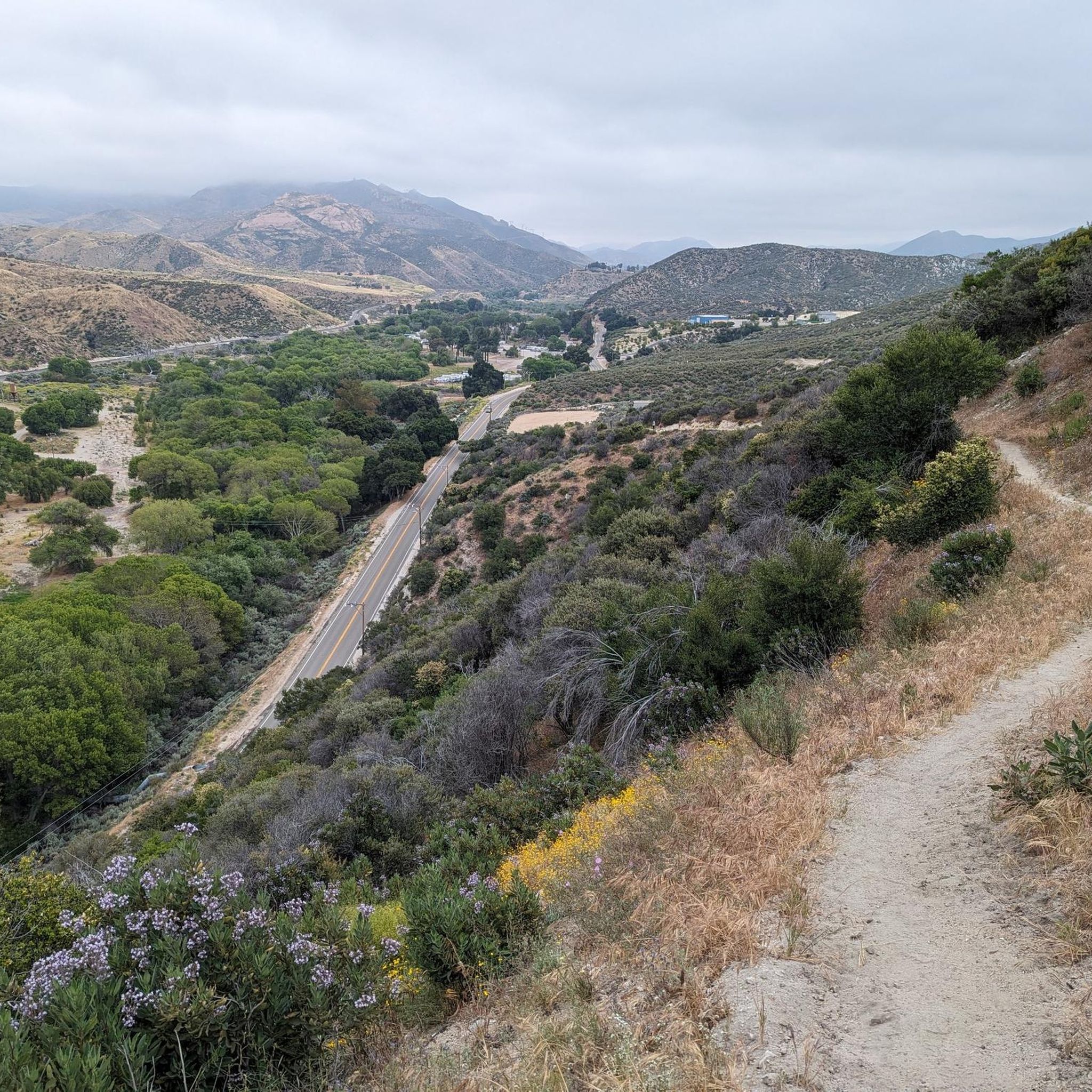
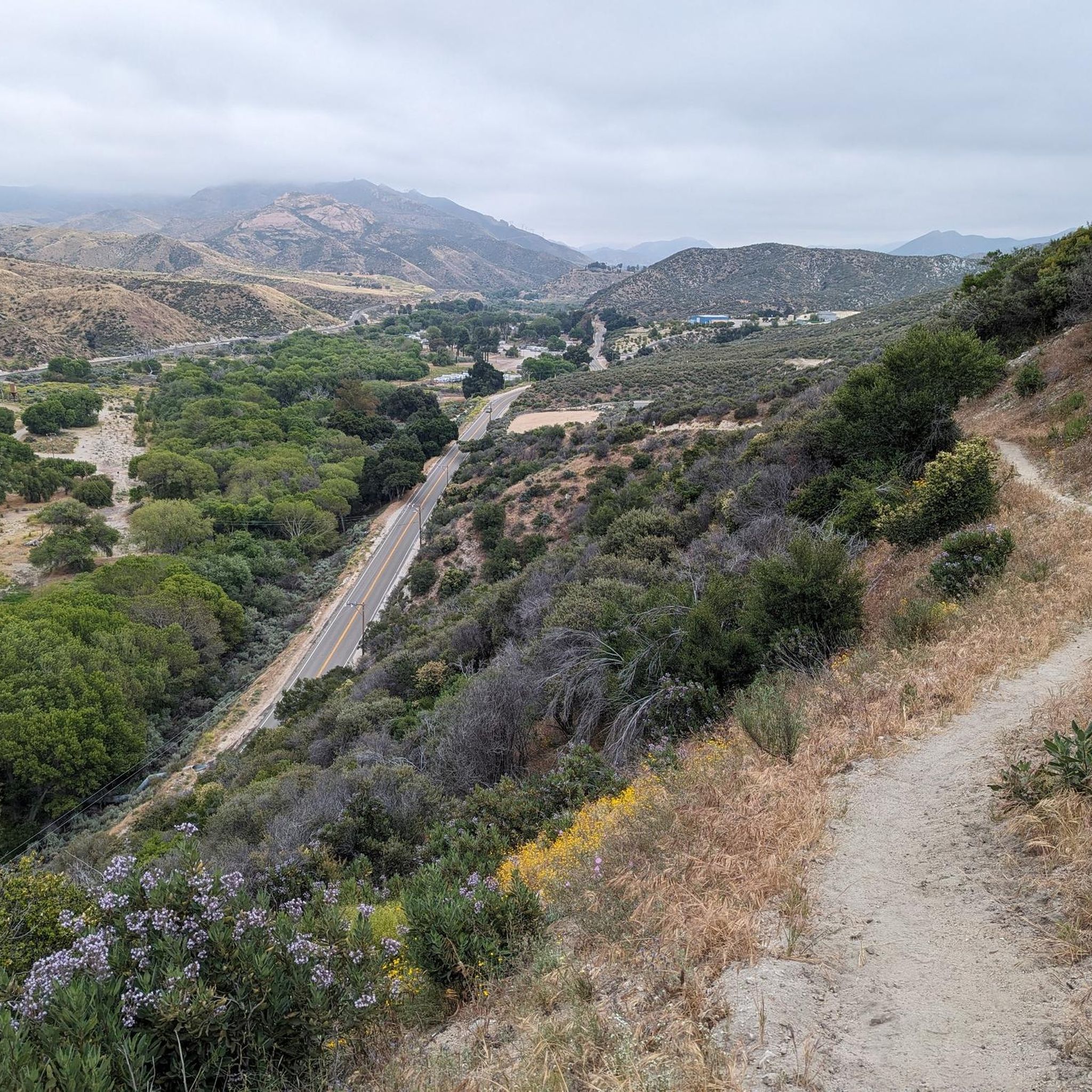
The Los Pinetos Trail climbs steadily from bottom to top and offers open views, shaded forests, and challenging terrain. Lots of mountain bikers and runners use the trail, so you'll probably see others out on your run. You can connect to a bunch of other trails from this path if you want to create different loops and routes.
0
0
At 3,560 feet, Los Pinetos Peak serves as the highest point along Santa Clara Divide Road. The lower sections of the roads leading to the summit are paved, but all the paths turn to dirt and are closed to public vehicles (besides bikes and pedestrians). There are great views of the valley and foothills from the summit.
0
0

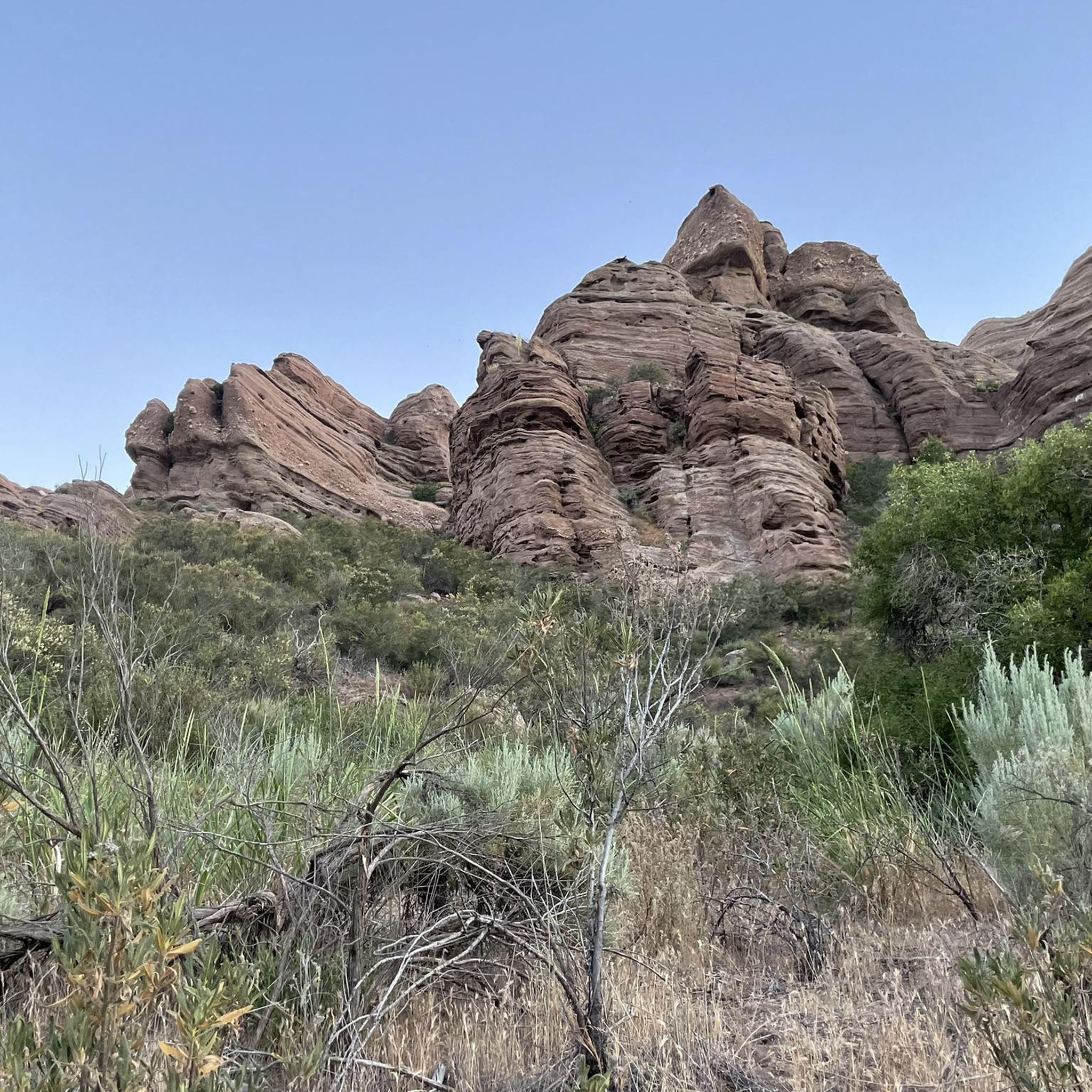
Interesting rock formation in the Sierra Pelona. The setting has been used in many different movies and TV shows, including Star Trek, Bill & Ted's Bogus Journey and Zorro.
1
0


If you want to learn more about how the unique Vasquez Rocks were created by earthquakes along the San Andreas Fault, visit the Interpretive Center. There is also a water fountain inside the center as well as restrooms. You can use the picnic benches close to the parking lot. Opening hours: http://www.vrnca.org/visit-us.html
3
0
The PCT leads you through a stunning canyon that is completely different from the surrounding area. Towering rock formations, lush vegetation and a small stream will make you feel as if you have left the desert. There are a lot of signs for different plants, so it is also fantastic to learn more about the flora.
2
0

The Pacific Crest Trail crosses here through the Vasquez Rocks Natural Area Park. Nicknamed Kirk's Rock for its many appearances in popular culture it is a 932-acre (377-hectare) park located in the Sierra Pelona Mountains in northern Los Angeles County, south of the town center of Agua Dulce. These rock formations were formed by rapid erosion during uplift about 25 million years ago, and then later exposed by uplift activity along the San Andreas Fault. The Tataviam people were living here when the Spanish arrived. Their language was most likely a Takic Uto-Aztecan language. They lived in grass huts within villages. With the coming of the Spanish missions, some of these people were forced to work there. They eventually began speaking Spanish and inter-marrying with other tribes. The last of the Tataviam people died in 1916. In 1874, Tiburcio Vásquez, one of California's most notorious bandits, used these rocks to elude capture by law enforcement. His name has since been associated with this geologic feature. The land and rock formations were acquired gradually by Los Angeles County, beginning with a donation of 40 acres in 1971, with more parcels being added through 2001. Vasquez Rocks was added to the National Register of Historic Places in 1972 because of its significance as a prehistoric site for the Shoshone and Tataviam peoples. https://en.wikipedia.org/wiki/Vasquez_Rocks
3
3
Frequently Asked Questions
How many running routes are available in Magic Mountain Wilderness?
There are 11 dedicated running routes in Magic Mountain Wilderness, offering a diverse range of experiences for runners.
Are there easy running routes suitable for beginners in Magic Mountain Wilderness?
Yes, Magic Mountain Wilderness offers routes suitable for beginners. For a moderate option, consider the Placerita Canyon State Park loop from Placerita Canyon State Park, which is 5.2 miles (8.3 km) long and takes about 1 hour 2 minutes to complete through a natural park environment.
What kind of terrain can I expect on running trails in Magic Mountain Wilderness?
Runners in Magic Mountain Wilderness can expect varied terrain, including distinctive rock formations like those in the Vasquez Rocks area, trails winding through state parks and canyons, and open spaces. Many routes feature moderate to significant elevation changes.
Are there challenging running trails for experienced runners in Magic Mountain Wilderness?
Absolutely. For experienced runners seeking a challenge, the Los Pinetos Trail is a difficult 7.2 miles (11.7 km) path with significant elevation gain, offering panoramic views across the wilderness. Another demanding option is the Vasquez Rocks area – Vasquez Rocks loop from Agua Dulce, spanning 22.6 km.
Are there any loop running trails in Magic Mountain Wilderness?
Yes, many routes in Magic Mountain Wilderness are loops. A popular option is the Vasquez Rocks area loop from Three Sisters Rock, an 8.9 miles (14.3 km) trail featuring unique rock formations and open landscapes.
What are some notable viewpoints or attractions along the running routes?
The region is known for its distinctive rock formations, particularly in the Vasquez Rocks area, which offer unique scenic views. Trails often provide panoramic vistas across the wilderness, especially on routes with significant elevation gain like the Los Pinetos Trail.
What is the best time of year for jogging in Magic Mountain Wilderness?
Magic Mountain Wilderness offers running opportunities year-round. However, spring and fall generally provide the most comfortable temperatures for running. Summers can be hot, so early morning or late afternoon runs are advisable, while winters are typically mild.
Is Magic Mountain Wilderness suitable for winter jogging?
Yes, winter jogging is generally possible in Magic Mountain Wilderness as the climate is typically mild. Always check local weather conditions before heading out, and be prepared for cooler temperatures and potentially wet trails after rain.
Are there any cafes or places to refuel near the running routes?
While the wilderness itself is natural, areas like Agua Dulce, which serves as a starting point for routes such as the Running loop from Agua Dulce, may offer local amenities including cafes or small eateries for post-run refreshments.
What kind of wildlife might I encounter while running in Magic Mountain Wilderness?
Magic Mountain Wilderness is home to various wildlife. Runners might spot local birds, rabbits, and other small mammals. It's always advisable to stay on marked trails and be aware of your surroundings.
What should I wear for jogging in Magic Mountain Wilderness?
Given the varied terrain and potential elevation changes, wear appropriate running shoes with good grip. Layered clothing is recommended to adapt to changing temperatures, especially if running early morning or late afternoon. Don't forget sun protection and sufficient water.

Get inspired with the komoot mobile app


Explore more
Browse the best Running Trails & Routes in other regions.
