The best walks and hikes in Mount Zirkel Wilderness
4.3
(12)
257
hikers
20
hikes
If you've ever tried planning hiking in Mount Zirkel Wilderness, you know the sheer volume of trails can be overwhelming. How do you cut through all the options to find the routes that are genuinely worth your time and effort, not just filler? We get it – figuring out which trails offer the biggest payoff without endless guesswork is a real pain. That's where komoot comes in: our community has mapped, hiked, and reviewed these routes, so we've done the legwork to bring you a curated shortlist of the very best.
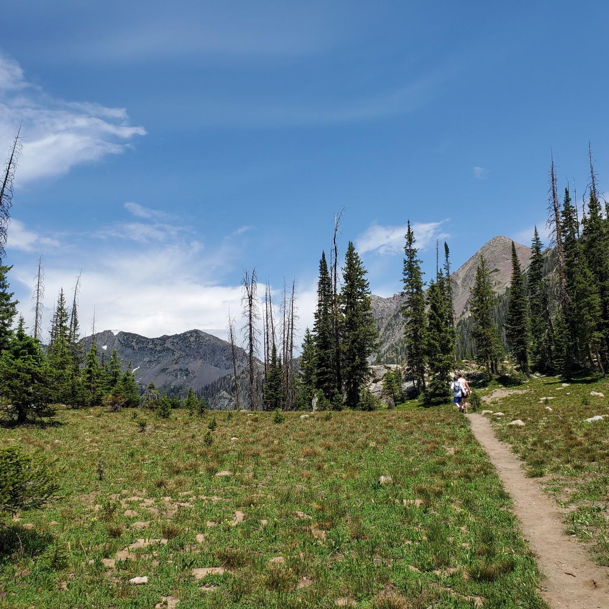
Hiking in Mount Zirkel Wilderness is a true Colorado experience, defined by rugged mountain ranges, over 70 pristine alpine lakes, and a dramatic transition from dense forests to high-alpine tundra. You'll find yourself traversing portions of the Continental Divide, with peaks soaring over 12,000 feet, including Mount Zirkel itself at 12,180 feet. While the trails range from easy strolls to challenging multi-day treks, expect the best of the high country to be accessible primarily from late spring through early fall, once the seasonal snowmelt has cleared.
If you only do one hike here, make it the Three Island Lake Trail, a moderate 3.3 miles (5.3 km) route that delivers stunning alpine scenery without an all-day commitment. For those ready for a bigger adventure, the Big Creek Trail offers a moderate 4.7 miles (7.6 km) through wildflower meadows and burnt forests to a beautiful waterfall. With over 190 hikers already exploring these trails with komoot, you're in good company. Dive in and find your perfect route!
Last updated: May 28, 2026
2
hikers
3.81km
01:02
70m
20m
The Big Creek Trail offers a delightful, easy hike through a tranquil, heavily wooded forest, making it a top-rated trail for a quick nature fix. You'll follow an old logging railroad grade, enjoying the constant presence of Big Creek as it flows alongside the path. Keep an eye out for the picturesque Mouse Creek Falls, a 45-foot cascade tumbling over moss-covered rocks, which is a popular turnaround point for many hikers on this 2.4-mile (3.8 km) route.
Planning your visit is straightforward, with a dedicated parking area at the trailhead. This family-friendly trail is particularly lovely in spring when wildflowers are abundant, or during summer for its cooling shade. The route involves a gentle 226 feet (69 metres) of elevation gain, taking approximately 1 hour and 1 minute, so it's a great option for a relaxed outing without needing extensive preparation.
Beyond its natural beauty, the Big Creek Trail holds historical significance, tracing an old logging railroad grade from before the Great Smoky Mountains National Park was established. This easy route is known for its relative solitude compared to other park trails, offering a quieter experience. You might even spot wildlife like deer or salamanders, adding to the charm of this accessible and rewarding hike.
1
hikers
5.35km
01:50
450m
0m
The Three Island Lake Trail, nestled in the Mount Zirkel Wilderness, delivers a varied and scenic hiking experience, perfect for those seeking a moderate challenge away from more crowded paths. You'll journey through dense forests of pine and aspen, across the Elk River, and eventually emerge into a beautiful meadow leading to the tranquil Three Island Lake. The singletrack path offers glimpses of snow-capped peaks and vibrant wildflowers, making the 3.3-mile (5.3 km) route feel like a true escape into nature.
Planning your visit requires a bit of foresight, as the drive to the trailhead can involve rough dirt roads. Given the 1481 feet (451 metres) of elevation gain, this hike, which typically takes around 1 hour and 49 minutes, is best tackled when you're ready for a good workout. Be prepared for potential snow or stream crossings depending on the season, and always check current conditions before heading out. Dogs are welcome on this less-trafficked trail.
This trail is a true hidden gem within the rugged Mount Zirkel Wilderness, an area known for its pristine alpine environments. It offers a quieter alternative to some of the region's more popular routes, allowing for a more immersive experience. Keep an eye out for local wildlife, including bears and mountain lions, and know that the trail also connects to the extensive Wyoming Trail for longer adventures.

Sign up for free
2.51km
00:43
50m
50m
The Buffalo Pass, Summit & Jonah Lakes trail offers a delightful journey through the Mount Zirkel Wilderness, where you'll wander through dense forests and open meadows before reaching the serene shores of alpine gems like Summit Lake and Jonah Lake. The path often hugs the lake edges, providing ever-changing views of the surrounding pine and aspen groves, especially vibrant with wildflowers from late June to early August. Expect a mix of gentle forest paths and some rockier sections, with the possibility of soggy marshland if you explore higher ground.
Planning your visit requires a bit of foresight, as the Buffalo Pass Road leading to the trailhead, particularly from Steamboat Springs, can be rough and rocky, often necessitating a high-clearance vehicle. This easy 1.6-mile (2.5 km) hike, with only 178 feet (54 metres) of elevation gain, takes about 42 minutes, making it an ideal choice for a shorter outing. It's a popular spot for families and dog owners, though keeping your furry friend on a leash is advised to protect the local wildlife.
This trail is a standout for its accessibility to a beautiful collection of alpine lakes within a relatively short distance, all nestled within the pristine Mount Zirkel Wilderness. The area around Buffalo Pass is also part of the Continental Divide, adding a layer of geographical significance. It's a fantastic option for those seeking high-alpine beauty without an overly strenuous effort, offering a taste of the wilderness that's enjoyable for many hikers.
4
hikers
4.54km
01:17
100m
100m
The Four Lakes via Summit Lake Campground Trail offers a delightful and accessible alpine escape, winding through natural paths that transition from shaded forests to open meadows. You'll be treated to beautiful views of clear mountain waters reflecting evergreen trees, with the added bonus of abundant wildflowers in season. This easy 2.8-mile (4.5 km) loop, with its modest 338 feet (103 metres) of elevation gain, is a fantastic option for a quick, scenic outing that takes around 1 hour and 17 minutes.
When planning your visit, be aware that the Routt County Road 38 (Buffalo Pass Road) to the trailhead can be rough and rocky, particularly at higher elevations. A high-clearance vehicle is recommended, especially if you're approaching from Steamboat Springs. Parking is available at the Summit Lake Campground trailhead, but arriving early is a good strategy during busy periods to secure a spot.
This trail, located on Buffalo Pass near the Continental Divide, is celebrated for its scenic beauty and suitability for a wide range of hikers, including beginners and families. It provides a rewarding alpine experience without the strenuous effort often associated with mountain hikes, making it a popular choice for those seeking picturesque lakes and expansive views in Routt County.
2
hikers
7.59km
02:00
70m
70m
The Big Creek Trail offers a delightful escape into nature, tracing the banks of Big Creek to a serene waterfall. This moderate 4.7-mile (7.6 km) hike, with its gentle 226 feet (69 metres) of elevation gain, is perfect for a leisurely two-hour stroll. You'll find yourself immersed in the sounds of flowing water, culminating in the peaceful Big Creek Falls, making it an ideal choice for a relaxing outdoor experience.
Planning your visit to the Big Creek Trail is generally straightforward. The trailhead is easily accessible, and while parking is usually available, arriving earlier in the day is recommended, especially on weekends, to ensure a spot. Always check the weather forecast before heading out and bring enough water for your two-hour journey, even on cooler days.
This trail is a fantastic option for those seeking a tranquil hike without an intense physical challenge. Its moderate difficulty makes it suitable for families or beginner hikers looking for a rewarding natural feature. The Big Creek Trail provides a refreshing break, allowing you to connect with the natural beauty of the area in a relatively short timeframe.
Get access to more routes and recommendations from other explorers.
Sign up for free
Already have an account?
Our route recommendations are based on thousands of hikes, rides, and runs completed by other people on komoot.
Start today with a free account
Your next adventure awaits.
Login or Signup
Popular around Mount Zirkel Wilderness
Tips from the Community

This is a wonderful, hearty cascade into a pool fringed by a few trees. The trail to get here leads through an old burn scar, though, so it's best to save this hike for a cloudy day when you don't need much shade.
1
0

Summit Lake Campground opens in mid-June and operates on a first-come, first-served basis. You can enjoy fishing at one of the six lakes or simply relax and take in the serene surroundings.
0
0

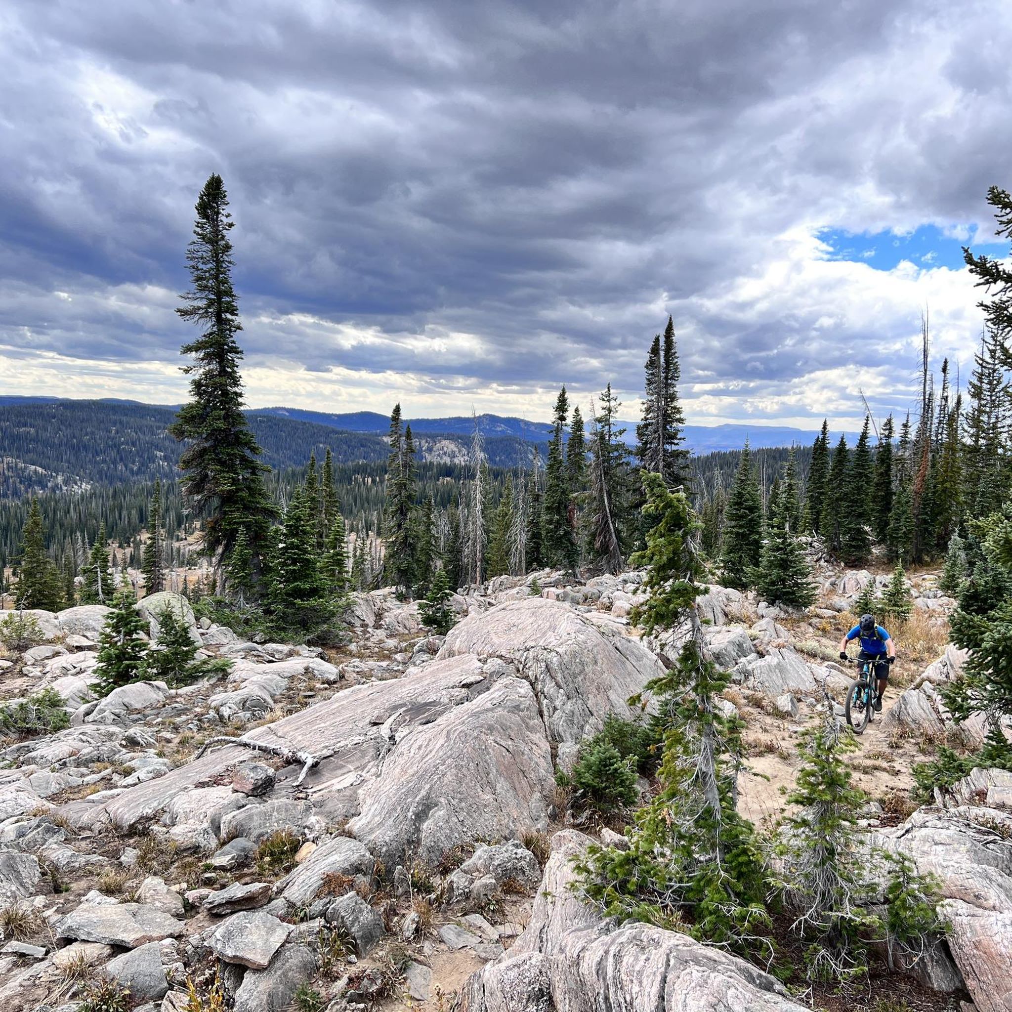
Buffalo Pass is a popular mountain biking starting point, as well as a good spot to drop a shuttle from other trails such as Fish Creek Falls.
0
0
Frequently Asked Questions
How many hiking trails are available in Mount Zirkel Wilderness?
Mount Zirkel Wilderness offers a wide array of hiking opportunities, with over 150 miles of trails. Our guide features 13 distinct routes, catering to various skill levels from easy walks to challenging multi-day treks.
Are there any family-friendly hiking options in Mount Zirkel Wilderness?
Yes, there are several easier trails suitable for families. For instance, the Jonah Lake – Whale Lake loop from Buffalo Pass is an easy 2.4-mile trail through alpine lakes and forested areas, often completed in just over an hour. Another easy option is the Four Lakes via Summit Lake Campground Trail, which is an alpine lake-hopping trail.
Can I find trails with waterfalls in Mount Zirkel Wilderness?
Absolutely. The wilderness is known for its gurgling creeks and splendid waterfalls. A notable trail is Big Creek Falls, a moderate 4.7-mile path that leads through wildflower meadows and burnt forests to a stunning waterfall. The Zirkel Circle loop also offers opportunities to capture waterfall pictures.
Are there any circular hiking routes in the area?
Yes, circular routes are a popular way to experience the diverse landscapes. The renowned Gilpin Lake and Gold Creek Lake loop (Zirkel Circle) is an almost 11-mile trail that offers continuous scenic views. Another option is the Gold Creek Lake loop from Slavonia.
What kind of wildlife can I expect to see while hiking?
Mount Zirkel Wilderness is a haven for wildlife. Hikers often spot elk, mule deer, moose, and marmots. Black bears also inhabit the area, so it's important to be bear-aware and carry bear spray.
What is the best time of year to hike in Mount Zirkel Wilderness?
The best time to hike is typically from late spring through early fall (June to September). During this period, trails are generally free of snow, wildflowers are abundant in the meadows, and the weather is most favorable. Fall offers vibrant colors, especially along trails like the Zirkel Circle.
Are there any trails that feature alpine lakes?
The wilderness is home to approximately 70 lakes, making alpine lake views a common highlight. The Zirkel Circle combines the picturesque Gilpin Lake and Gold Creek Lake trails. The Four Lakes via Summit Lake Campground Trail is another excellent choice for experiencing reflective waters and mountain scenery.
What do other hikers enjoy most about Mount Zirkel Wilderness?
The area is highly rated by the komoot community, with an average score of 4.4 stars from over 9 reviews. Reviewers often praise the pristine, untamed nature of the wilderness, the stunning panoramic views from peaks like Mount Zirkel, and the diverse ecosystems that offer a varied hiking experience.
Are there any trails accessible from Steamboat Springs?
Yes, some trails are easily accessible from Steamboat Springs. While not detailed in this guide, the Mad Creek and Red Dirt Trails are known to be convenient options for those staying in Steamboat Springs, offering a taste of the region's natural beauty.
What are the elevation ranges for hiking in Mount Zirkel Wilderness?
Elevations in Mount Zirkel Wilderness range significantly, from approximately 7,000 feet at lower elevations to 12,180 feet at the summit of Mount Zirkel. This variation contributes to the diverse ecosystems, from dense coniferous forests to alpine tundra, that hikers will encounter.
Are dogs allowed on the trails in Mount Zirkel Wilderness?
Mount Zirkel Wilderness is part of the Routt National Forest, and generally, dogs are permitted on trails. However, they must be kept under control, preferably on a leash, to protect wildlife and ensure a pleasant experience for all hikers. Always practice Leave No Trace principles, including packing out pet waste.
What makes the Mount Zirkel Wilderness unique compared to other Colorado hiking areas?
Mount Zirkel Wilderness stands out due to its vast protected expanse, the dramatic peaks of the Park, Sawtooth, and Sierra Madre ranges, and its role as headwaters for major rivers. It features a unique 'ribbon forest' landscape and the Continental Divide runs through it, offering a truly pristine and 'off the grid' backcountry experience with minimal motorized access.
Most popular routes in Mount Zirkel Wilderness

Get inspired with the komoot mobile app


Explore more
Browse the best Hikes in other regions.
