The best walks and hikes around Forst Schmalwasser-Nord
4.6
(9467)
33,796
hikers
588
hikes
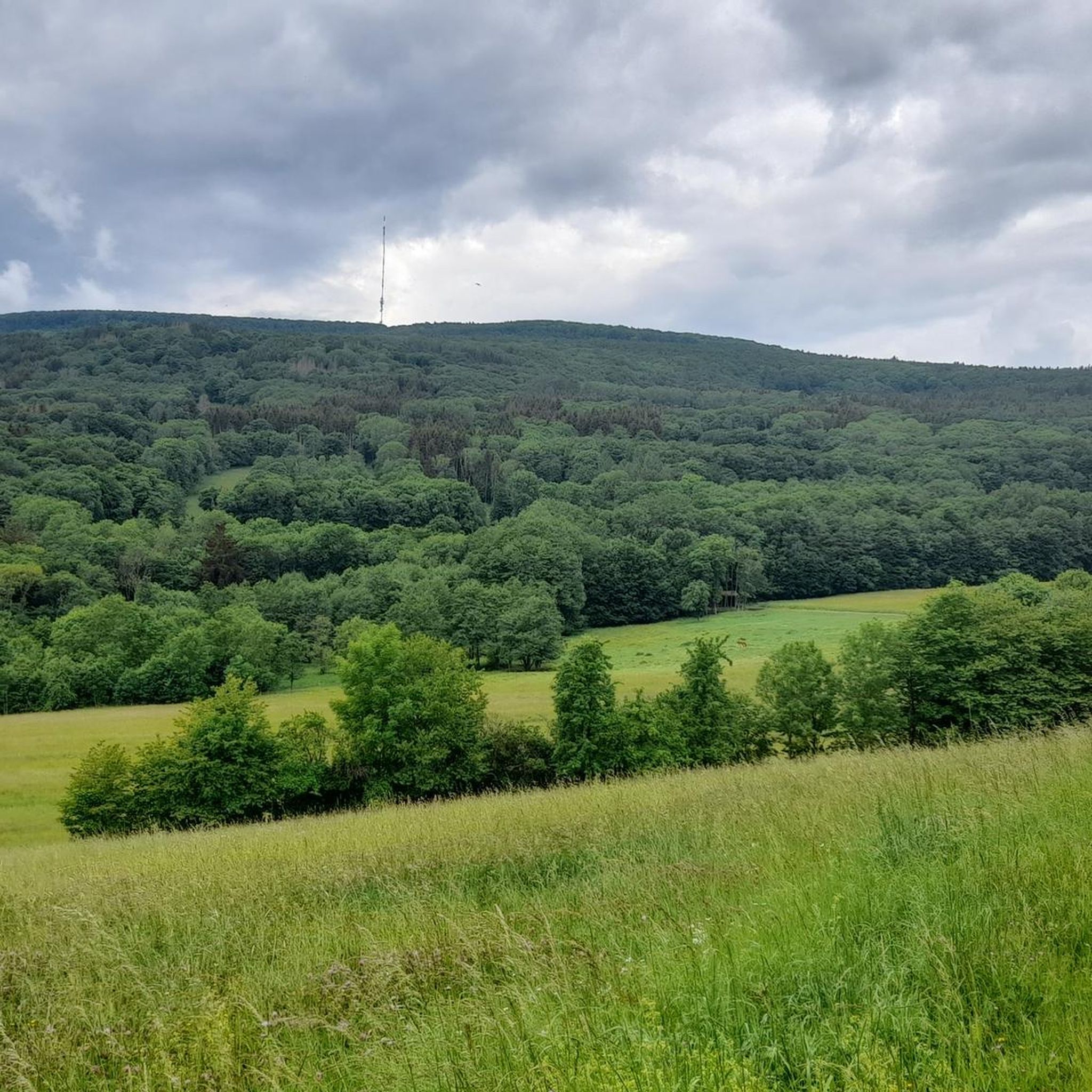
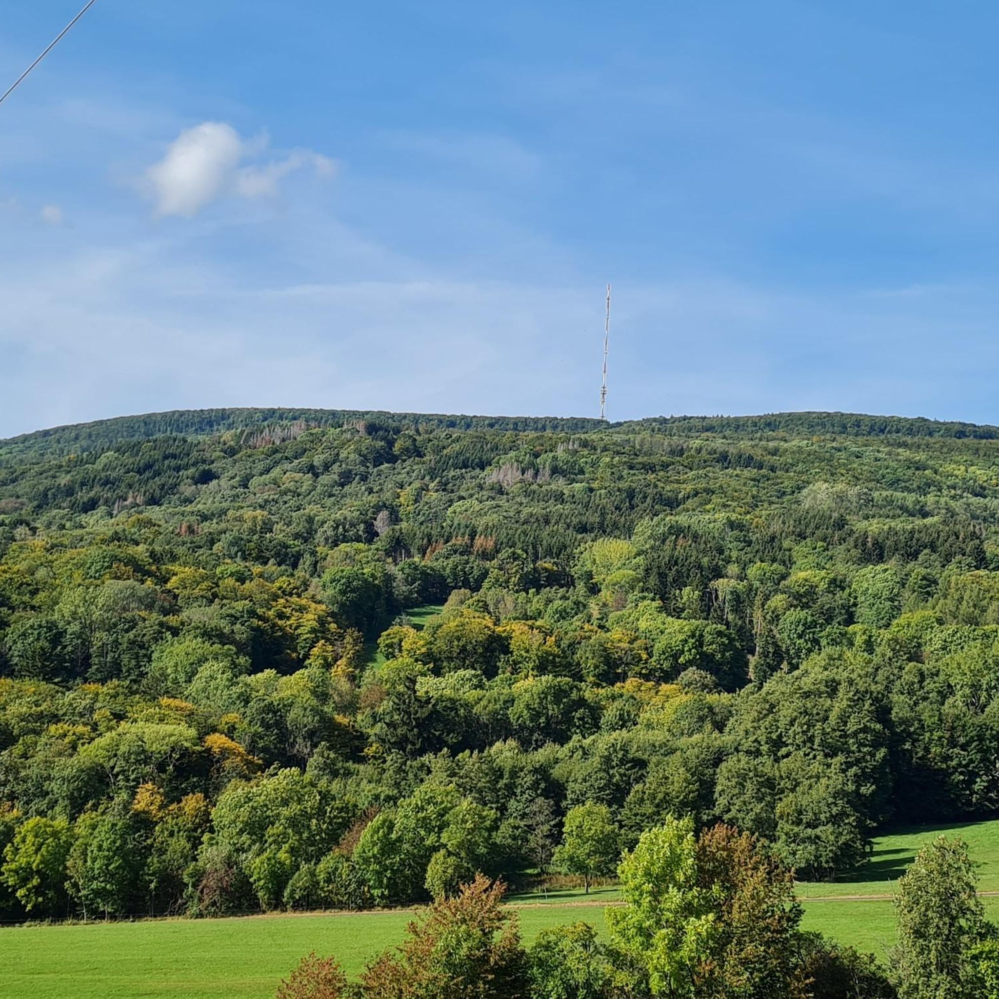
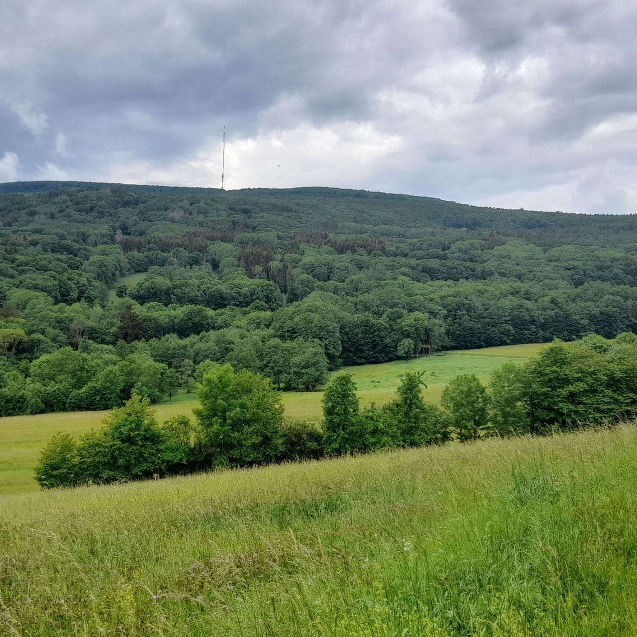
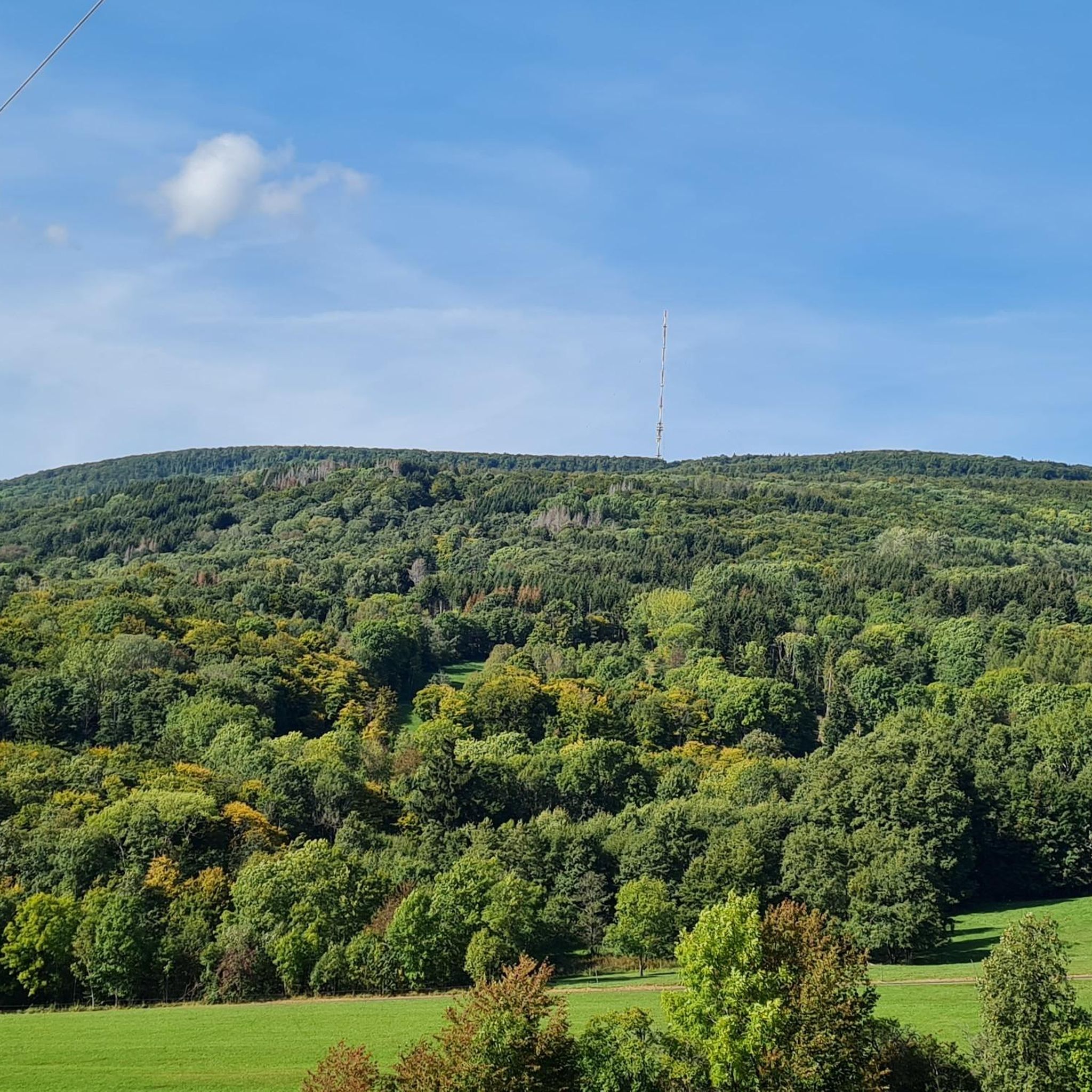
Hiking around Forst Schmalwasser-Nord offers exploration within a densely forested and uninhabited area in Bavaria, Germany. The region is characterized by its entirely wooded terrain, providing a natural environment for outdoor activities. The highest point is the southern part of the Feldberg, reaching 570 meters above sea level. Natural monuments also contribute to the area's distinct features.
Best hiking trails around Forst Schmalwasser-Nord
- The most popular hiking route is Kreuzberg Trail – Kreuzberg Monastery loop from Forst Schmalwasser-Nord, a…
Last updated: October 1, 2026
4.8
(186)
686
hikers
8.72km
02:50
400m
400m
Moderate hike. Good fitness required. Easily-accessible paths. Suitable for all skill levels.
4.8
(13)
36
hikers
17.8km
05:17
540m
530m
Hard hike. Very good fitness required. Easily-accessible paths. Suitable for all skill levels.

4.8
(10)
29
hikers
10.2km
03:19
400m
400m
Moderate hike. Good fitness required. Mostly accessible paths. Sure-footedness required.
5.0
(3)
46
hikers
7.13km
02:17
310m
310m
Moderate hike. Good fitness required. Easily-accessible paths. Suitable for all skill levels.
4.6
(8)
20
hikers
4.91km
01:32
200m
200m
Easy hike. Great for any fitness level. Easily-accessible paths. Suitable for all skill levels.
Get access to more routes and recommendations from other explorers.
Already have an account?
Our route recommendations are based on thousands of hikes, rides, and runs completed by other people on komoot.
Start today with a free account
Your next adventure awaits.
Popular around Forst Schmalwasser-Nord


Tips from the Community

The Kreuzberg is considered the "Holy Mountain of the Franconians". The highest elevation in the Bavarian Rhön at 928 meters is known not only as a pilgrimage site but also for the world-famous Kreuzberg beer, which is produced in the monastery brewery located on the mountain and can be enjoyed in the cozy monastery tavern with all sorts of regional delicacies.
0
0

Funny, funny, funny, funny …
0
0

Beautiful panoramic view of Bischofsheim and the Wasserkuppe. A spur path leads to this viewpoint with seating.
1
0

On the mountain of the Franks, in the monastery there is everything for body and soul.
0
0
The Kreuzberg is the biggest visitor magnet in the Bavarian Rhön. All year round, the Franciscan monastery Kreuzberg with its monastery beer attracts holidaymakers from near and far to the Holy Mountain of the Franconians. After a strengthening meal in the monastery tavern, the ascent to the summit of the Kreuzberg can be managed, from where you get a magnificent view into the Southern Rhön, the Hessian Rhön and the Thuringian Forest. Quelle: https://www.biosphaerenreservat-rhoen.de/mensch/tourismus-gastronomie-und-erholung/schaetze-der-rhoen/der-kreuzberg
1
0

An original photo stop with typical Rhön charm. Briefly stop, enjoy the view, and let the special atmosphere sink in – a little smile is almost mandatory here. 🚵♂️
0
0

Great stone embankment, made by nature :)
0
0

Currently closed. We're currently undergoing renovations and will likely reopen in mid-2026. If you have any news, please add it as a tip :)
1
0
Frequently Asked Questions
How many hiking trails are available in Forst Schmalwasser-Nord?
Forst Schmalwasser-Nord offers a wide variety of hiking opportunities, with over 580 routes available. These trails cater to all levels, including easy, moderate, and difficult options.
What kind of terrain can I expect when hiking in Forst Schmalwasser-Nord?
The region is characterized by its entirely forested terrain, providing a dense and natural environment. You'll encounter hills and diverse landscapes, with the highest point being the southern part of the Feldberg at 570 meters above sea level. Many routes lead through these woodlands, offering scenic views and a tranquil experience.
Are there easy hiking trails suitable for beginners or families?
Yes, Forst Schmalwasser-Nord has over 270 easy hiking trails. A great option for a relaxed outing is the View of the Rhön – Awesome view of Sandberg loop from Forst Schmalwasser-Nord, which is 4.9 km long and offers beautiful views. Another accessible choice is the View of Kreuzberg – Bench and lounger with a view loop from Forst Schmalwasser-Nord, an easy 6.1 km route.
Are there challenging hikes for experienced hikers in Forst Schmalwasser-Nord?
For experienced hikers seeking a challenge, Forst Schmalwasser-Nord offers 47 difficult routes. A notable option is the Gemündener Hut – Kreuzberg Monastery loop from Sandberg. This 17.8 km path features substantial elevation changes and connects to both the Gemündener Hut and the Kreuzberg Monastery.
What are some notable landmarks or attractions I can see while hiking?
While hiking in Forst Schmalwasser-Nord, you can explore several interesting landmarks. The prominent Golgotha group (Three Crosses) on the Kreuzberg is a significant natural monument. You might also encounter the Himmeldunkberg summit, offering panoramic views. For those interested in natural wonders, the Devil's Mill Waterfall and the Schwarzbach Gorge are also nearby attractions.
Are there any circular hiking routes in Forst Schmalwasser-Nord?
Many of the trails in Forst Schmalwasser-Nord are designed as circular routes, allowing you to start and end at the same point. An example is the popular Kreuzberg Trail – Kreuzberg Monastery loop from Forst Schmalwasser-Nord, a 8.7 km moderate route. Another great circular option is the Gemündener Hut – View from Neustädter Haus loop from Forst Schmalwasser-Nord, which is 7.1 km long.
Can I bring my dog on the hiking trails in Forst Schmalwasser-Nord?
Generally, dogs are welcome on hiking trails in forested areas like Forst Schmalwasser-Nord. However, it's always advisable to keep your dog on a leash, especially in nature reserves or near wildlife, and to respect local regulations. Please ensure you clean up after your pet to maintain the natural beauty of the area.
What is the best time of year to go hiking in Forst Schmalwasser-Nord?
The forested nature of Forst Schmalwasser-Nord makes it appealing throughout much of the year. Spring and autumn offer pleasant temperatures and beautiful foliage. Summer provides lush greenery and longer daylight hours, while winter can transform the landscape into a serene, snow-covered wonderland, though some trails might be more challenging. Always check local weather conditions before heading out.
Where can I park my car when visiting Forst Schmalwasser-Nord for hiking?
As Forst Schmalwasser-Nord is a forested and uninhabited area, specific designated parking lots might be limited directly within the forest. Hikers typically find parking in nearby villages or at trailheads on the periphery of the forest. It's recommended to check the starting points of individual routes on komoot for specific parking suggestions.
Is public transport available to reach the hiking trails in Forst Schmalwasser-Nord?
Given its uninhabited nature, direct public transport links into the heart of Forst Schmalwasser-Nord are limited. However, you may find bus connections to surrounding towns and villages in the Rhön-Grabfeld district, from where you can access the forest's edges. Planning your route on komoot can help identify the closest public transport stops to your desired trailhead.
What do other hikers enjoy most about hiking in Forst Schmalwasser-Nord?
The komoot community highly rates the hiking experience in Forst Schmalwasser-Nord, with an average score of 4.6 stars from over 8,000 reviews. Hikers frequently praise the tranquil, densely forested environment, the well-maintained paths, and the diverse range of routes suitable for different fitness levels. The natural monuments and scenic viewpoints are also often highlighted as favorite aspects.
Most popular routes around Forst Schmalwasser-Nord
Most popular attractions around Forst Schmalwasser-Nord

Get inspired with the komoot mobile app


Explore more
Browse the best Hikes in other regions.
