The best walks and hikes in Flat Tops Wilderness
4.8
(3)
53
hikers
13
hikes
Hikes in Flat Tops Wilderness explore a landscape shaped by ancient volcanic flows and glaciers. The region is characterized by its distinctive flat-topped mountains, subalpine forests, and numerous lakes and streams. Trails navigate through expansive meadows and across high plateaus, offering a range of environments for hikers.
Best hiking trails in Flat Tops Wilderness
- The most popular hiking route is Devils Causeway via Flat Tops Meadows – Flat Tops Wilderness, a 17.9 mile (28.7 km) trail that takes about…
Last updated: September 28, 2026
5.0
(1)
7
hikers
8.84km
02:33
360m
0m
The Marvine Trail offers a captivating journey through Colorado's Flat Tops Wilderness, guiding you from rolling forests with pine and aspen groves to expansive, surprisingly flat meadows on the plateau.…
4
hikers
8.87km
02:23
110m
110m
The Carhart Trail offers a moderate hiking experience, circling the expansive Trappers Lake. You will find yourself on a well-defined singletrack path, winding through marshy meadows and enjoying views of…

3
hikers
7.81km
02:21
260m
260m
Embark on the Skinny Fish Lake Trail for a moderate hiking experience that spans 4.9 miles (7.8 km). You will gain 854 feet (260 metres) in elevation, with the route…
1
hikers
23.6km
06:52
620m
620m
Embark on the challenging Trappers Lake and Wall Lake Loop, a difficult 14.6-mile (23.6 km) hike that takes you through the stunning Flat Tops Wilderness. You'll ascend 2047 feet (624…
2
hikers
7.27km
02:02
150m
150m
Embark on the Little Trappers Trail for a moderate hike that takes you through evolving landscapes. This route covers 4.5 miles (7.3 km) with an elevation gain of 488 feet…
Get access to more routes and recommendations from other explorers.
Already have an account?
Our route recommendations are based on thousands of hikes, rides, and runs completed by other people on komoot.
Start today with a free account
Your next adventure awaits.
Popular around Flat Tops Wilderness
Tips from the Community

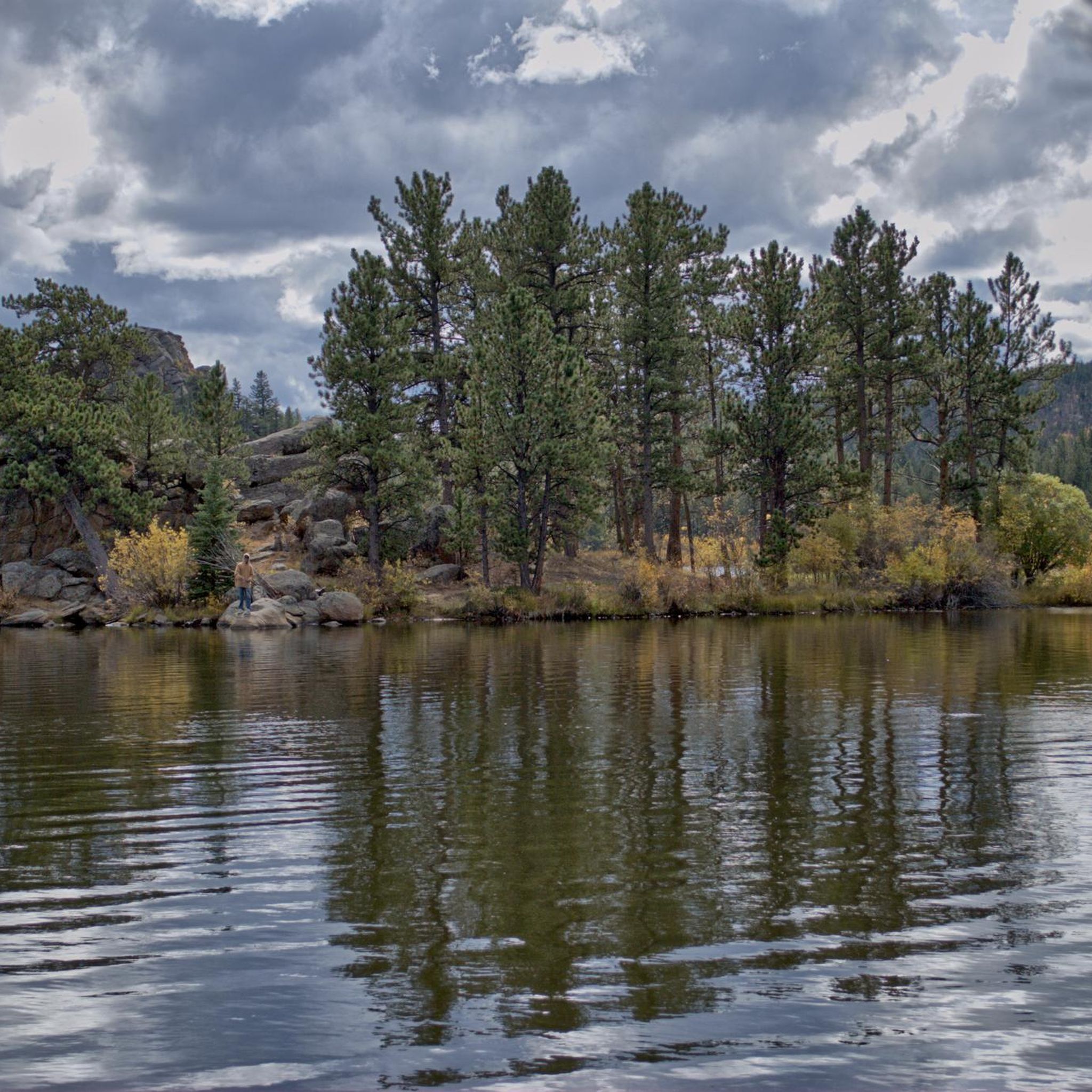
Little Trappers Lake is a fun run to a beautiful spot. Surrounded by the Flat Tops, you have a great view of the Chinese Wall. It is also a good spot for fishing.
0
0
Besides McGinnis Lake just south of here, Skinny Fish Lake is one of two gorgeous lakes at the base of the Flat Tops on the west side of the Chinese Wall. It is a nice run, but also a perfect destination for trout fishing. If you want to spend the night, the best camp spots are on the west side of the lake.
0
0
Once you've made the short but steep climb to Wall Lake in the Flat Tops, Wall Lake is the treat for your effort. There are plenty of good spots to pitch a tent and stay the night to enjoy the pristine nature to the fullest.
1
0
Once you leave the shoreline of Little Trappers Lake, you climb up all the way towards the top next to the Chinese Wall. Look back for a great view of Little Trappers Lake and its larger brother.
2
0
Little Trappers Lake is a fun hike to a beautiful spot. Surrounded by the Flat Tops, you have a great view of the Chinese Wall. It is also a good spot for fishing.
2
0
Besides McGinnis Lake just south of here, Skinny Fish Lake is one of two gorgeous lakes at the base of the Flat Tops on the west side of the Chinese Wall. It is a nice hike, but also a perfect destination for some fishing for trouts. If you want to spend the night, the best camp spots are on the west side of the lake.
1
0
Trappers Lake is one of the largest lakes within the Flat Tops Wilderness. You can pitch your tent in the large camping area, take a hike around the lake on the Carhart Trail or enjoy some trout fishing. The area is under protection since 1920.
3
0
Frequently Asked Questions
When is the best time of year to hike in the Flat Tops Wilderness?
The prime hiking season is from July through September. During this period, the trails are generally free of snow, and the weather is most favorable. Wildflowers are typically at their peak in July and August. Early summer can have significant mosquito populations, especially near lakes and wet meadows. Winter access is extremely limited, as most roads are closed.
Are dogs allowed on the trails in the Flat Tops Wilderness?
Yes, dogs are generally permitted in the Flat Tops Wilderness Area. However, they must be under voice control or on a leash at all times to protect wildlife and other hikers. Be aware of the rugged terrain and potential encounters with wildlife like moose and elk.
What are some good options for family-friendly or easy day hikes?
For a relatively gentle but scenic outing, the Little Trappers Lake – Flat Tops Wilderness trail is a great choice. It's a moderate 4.5-mile (7.3 km) hike with minimal elevation gain that offers beautiful lake views, making it suitable for families and those looking for a less strenuous day.
Are there any good backpacking loops for a multi-day trip?
Yes, the Trappers Lake, Wall Lake and Parvin Lake Loop is a classic backpacking route. This challenging 14.6-mile (23.6 km) loop takes you up to a high plateau, past several pristine alpine lakes, and offers expansive views, providing a comprehensive Flat Tops experience over a couple of days.
How difficult is the Devil's Causeway hike?
The hike to the Devil's Causeway is considered difficult and is not for the faint of heart. The most challenging part is the 'causeway' itself—a very narrow rock bridge, only a few feet wide in places, with sheer drop-offs on both sides. The route to it, such as the Devils Causeway via Flat Tops Meadows, is also a long and strenuous day hike involving significant elevation gain. It requires a head for heights and confidence on exposed terrain.
Can I combine hiking with fishing in the Flat Tops?
Absolutely. The wilderness is renowned for its excellent fishing opportunities, with around 110 lakes and over 100 miles of streams. Many trails provide access to prime fishing spots. The Skinny Fish Lake – Flat Tops Wilderness trail is a moderate hike that leads directly to a popular fishing lake. Remember to have a valid Colorado fishing license.
What are the trail conditions like, and where can I find updates?
Trail conditions vary greatly by season and elevation. High-elevation trails can hold snow into July. Summer thunderstorms are common in the afternoons, so start hikes early. For the most current information on trail conditions, closures, or fire restrictions, it is essential to check with the U.S. Forest Service for the White River National Forest before your trip.
Are there any circular walks available?
Yes, there are several loop trails. A popular moderate loop is the Carhart Trail – Flat Tops Wilderness. This 5.5-mile (8.9 km) trail encircles the iconic Trappers Lake, offering continuous stunning views of the lake and the surrounding cliffs without a strenuous climb.
What kind of wildlife might I see while hiking?
The Flat Tops Wilderness is home to a rich variety of wildlife. It's one of Colorado's largest elk habitats, and you may also spot mule deer, moose, marmots, and pikas. Black bears and mountain lions also inhabit the area, so it's important to be bear-aware and store food properly, especially when backpacking.
What are the camping regulations in the wilderness area?
Dispersed camping is permitted, but you must follow Leave No Trace principles. Key regulations include camping at least 100 feet from any lake, stream, or trail. In the Trappers Lake area, special regulations apply, and camping is only allowed in designated sites. Always check with the local ranger district for the most up-to-date rules before your trip.
How do I get to the main trailheads like Trappers Lake?
Access to the Flat Tops is via unpaved Forest Service roads, which can be rough. A high-clearance vehicle is often recommended, though not always required in good conditions. There is no public transportation to the trailheads. For Trappers Lake, you will typically drive from the town of Meeker or Yampa. Be sure to have a reliable map, as cell service is non-existent in most of the area.
Most popular routes in Flat Tops Wilderness

Get inspired with the komoot mobile app


Explore more
Browse the best Hikes in other regions.
