The best running trails in Byers Peak Wilderness
16
runners
6
runs
Jogging in Byers Peak Wilderness offers challenging routes through diverse high-altitude terrain. The region is characterized by extensive alpine tundra above the timberline, subalpine forests of Engelmann spruce and lodgepole pine, and significant elevation changes. Runners encounter a landscape featuring prominent peaks, glacial lakes, and creek drainages within the Arapaho and Roosevelt National Forests. This environment provides opportunities for rigorous workouts and ridge running.
Best jogging routes in Byers Peak Wilderness
- The most popular jogging route is Byers Peak Trail…
Last updated: June 29, 2026
7
runners
14.0km
02:15
820m
820m
Hard run. Very good fitness required. Mostly paved surfaces. Suitable for all skill levels.
9.50km
01:27
490m
490m
Hard run. Very good fitness required. Mostly paved surfaces. Suitable for all skill levels.

Sign up for free
15.0km
02:31
1,000m
1,000m
Hard run. Very good fitness required. Mostly paved surfaces. Suitable for all skill levels.
2
runners
11.6km
01:35
410m
410m
Hard run. Very good fitness required. Mostly paved surfaces. Suitable for all skill levels.
10.9km
01:20
160m
160m
Moderate run. Good fitness required. Mostly paved surfaces. Suitable for all skill levels.
Our route recommendations are based on thousands of hikes, rides, and runs completed by other people on komoot.
Start today with a free account
Your next adventure awaits.
Login or Signup
Popular around Byers Peak Wilderness
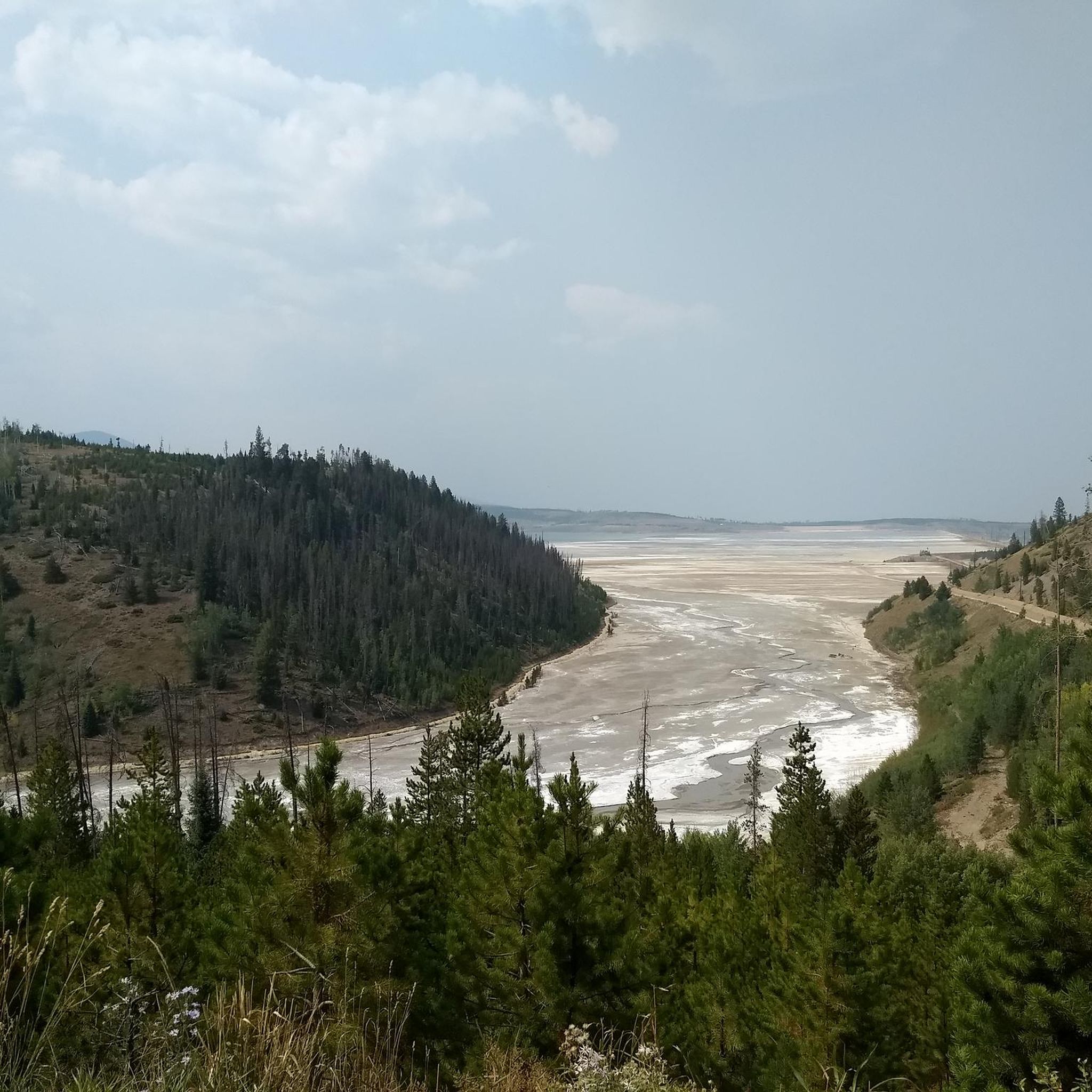
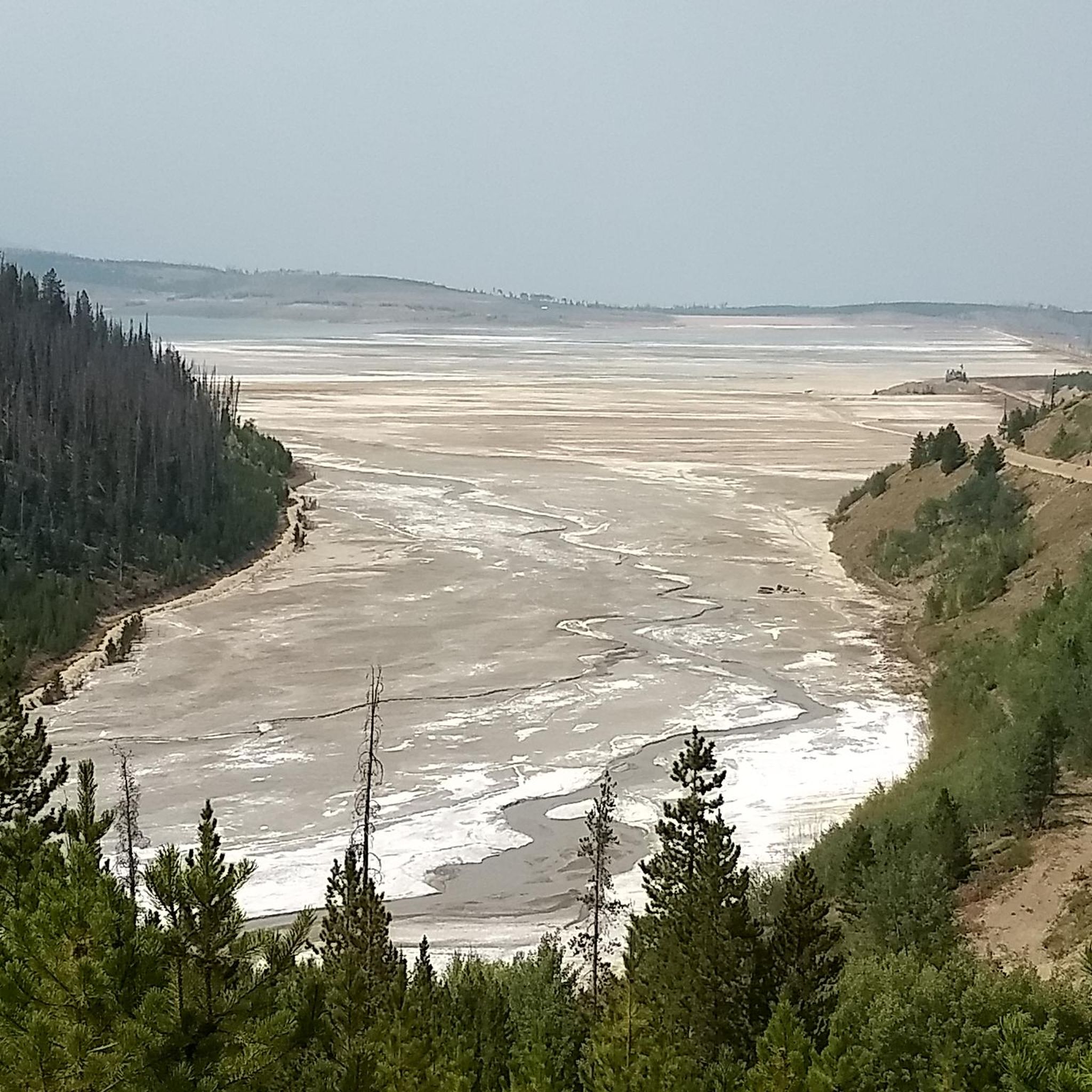
Tips from the Community

This unconventional trail is technically a service road, though you won't see many cars while out and about. The road runs alongside Saint Louis Creek and connects to Byers Peak Road, from which you can continue on to Deadhorse Trail and Byers Peak Trail to make your way further into the forest and Byers Peak Wilderness area.
0
0
Bottle Peak Trail can be reached via Bottle Pass Trail from either side of Bottle Peak. The most common route is to begin at Byers Peak Trail and up the switchbacks of Bottle Pass Trail. As indicated in the name, the trail leads up to the top of Bottle Peak, from which you can enjoy stunning views of Byers Peak Wilderness and Arapaho National Forest.
0
0
Byers Peak Trail is a 4.4-mile trail in Byers Peak Wilderness leading to the summit of Byers Peak. The first 2 miles of the trail follow a forest road. Though this portion of the trail is off limts to cars, it can be ridden with a bicycle. The remainder of the trail is a lovely singletrack ending above the tree line. From the top of Byers Peak, enjoy stunning views of the wilderness and forest surrounding you.
0
0
This summit can be reached via the 6-mile out and back trail through stunning forest and beautiful views of neighboring peaks along the way. You can go up from either side and can add on nearby Ptarmigan Peak for more panoramic views of the area!
0
0
A relatively easy summit to reach, although be it with a steep approach, Byers Peak offers stunning panoramic views across the wilderness area and Arapaho National Forest. Snow can stick around until early summer, so plan accordingly!
0
0
Only a 10 minute drive from Fraser, this is a spectacular service road that leads you into Byers Peak Wilderness for a quick nature escape. Though this is technically a road, there are few cars. From here, you have the option to connect to Deadhorse Trail and Saint Louis Creek Road. Sometimes snow can linger well into early summer so plan accordingly!
0
0
Deadhorse Trail leads for 5 miles from the intersection with Spruce Creek Trail to the trailhead at County Road 73. This is a lovely that takes you into Byers Peak Wilderness just south of Morse Mountain and east of Bottle Peak. Combine with Spruce Creek Trail for a nice loop in the forest.
0
0

Ute Peak Trailhead is located off of the side of County Highway 30 in Arapaho National Forest. There is plenty of parking across the street from the trail's entrance, and there is a pond with some dispersed camping options in the area as well. It is also fairly close to the Ranger's Station.
0
0
Frequently Asked Questions
How many running routes are available in Byers Peak Wilderness?
Byers Peak Wilderness offers a selection of 6 dedicated running routes, catering to various fitness levels. Most of these routes are challenging, with 5 rated as difficult and 1 as moderate.
What kind of terrain can I expect on the running trails in Byers Peak Wilderness?
Runners in Byers Peak Wilderness will encounter diverse high-altitude terrain. Expect significant elevation changes, extensive alpine tundra above the timberline, and dense subalpine forests of Engelmann spruce and lodgepole pine at lower elevations. Many routes offer opportunities for ridge running with expansive views.
Are there any easy or beginner-friendly running routes in Byers Peak Wilderness?
While most routes in Byers Peak Wilderness are rated as difficult due to significant elevation changes and high-altitude conditions, there is one moderate option: the Saint Louis Creek Loop. This 6.8-mile trail leads through subalpine forests and riparian drainages, offering a less strenuous experience compared to the more challenging peak ascents.
What are some scenic points of interest along the running routes?
The running routes in Byers Peak Wilderness offer stunning natural beauty. You can expect panoramic views from high elevations, especially on trails that ascend above the timberline. Notable features include the majestic Byers Peak itself, diverse ecosystems ranging from forests to alpine tundra, and glacial lakes like Lake Evelyn and St. Louis Lake, as well as various creek drainages.
Can I bring my dog on the running trails in Byers Peak Wilderness?
Byers Peak Wilderness is part of the Arapaho and Roosevelt National Forests. Generally, dogs are permitted on trails within these national forests, but they must be kept on a leash. Always check specific trail regulations before heading out, as rules can vary.
Are there opportunities for wildlife spotting while running in the wilderness?
Yes, Byers Peak Wilderness is rich in wildlife. While running, you might commonly encounter mule deer, elk, ptarmigan, and marmots. Other animals like bear, moose, mountain goats, and bighorn sheep also inhabit the area, offering unique wildlife viewing opportunities.
Are there any circular running routes in Byers Peak Wilderness?
Yes, there are several circular running routes available. For example, the Saint Louis Creek Loop offers a scenic round trip through subalpine forests. Another option is the Deadhorse and Spruce Creek Loop Trail, providing a challenging circular experience.
What is the best time of year for running in Byers Peak Wilderness?
The best time for running in Byers Peak Wilderness is typically during the late spring, summer, and early fall months. During these periods, trails are generally free of snow, and the weather is more favorable for high-altitude activities. Always check current trail conditions and weather forecasts before your run, especially for routes above the timberline.
Where can I find parking for the running trailheads in Byers Peak Wilderness?
Trailheads for routes like the Byers Peak Trail often have designated parking areas. These are typically located at the start of the trails, though specific availability can vary. It's advisable to arrive early, especially on weekends, as parking can be limited. For detailed information on specific trailheads, consult local forest service resources or maps.
Is public transport available to reach the running trails in Byers Peak Wilderness?
Public transport options directly to the remote trailheads within Byers Peak Wilderness are generally limited. Most visitors access the trailheads by private vehicle. You might find regional transit services to nearby towns like Winter Park or Fraser, but onward travel to the wilderness area would likely require a car.
What towns are near Byers Peak Wilderness for amenities like cafes or accommodation?
The towns of Winter Park and Fraser are located relatively close to Byers Peak Wilderness. These towns offer various amenities, including cafes, restaurants, and accommodation options, making them convenient bases for exploring the running trails in the area.
Are there any running routes that offer extensive ridge running opportunities?
Yes, Byers Peak Wilderness is renowned for its ridge running. Many of the trails, particularly those that ascend above the timberline, provide extensive ridge running opportunities with expansive scenic views. The Ute Peak Trail is an excellent example, traversing alpine tundra and offering panoramic views from high elevations.
Most popular routes in Byers Peak Wilderness

Get inspired with the komoot mobile app


Explore more
Browse the best Running Trails & Routes in other regions.
