The best road cycling routes in Bristol Cliffs Wilderness
401
riders
11
rides
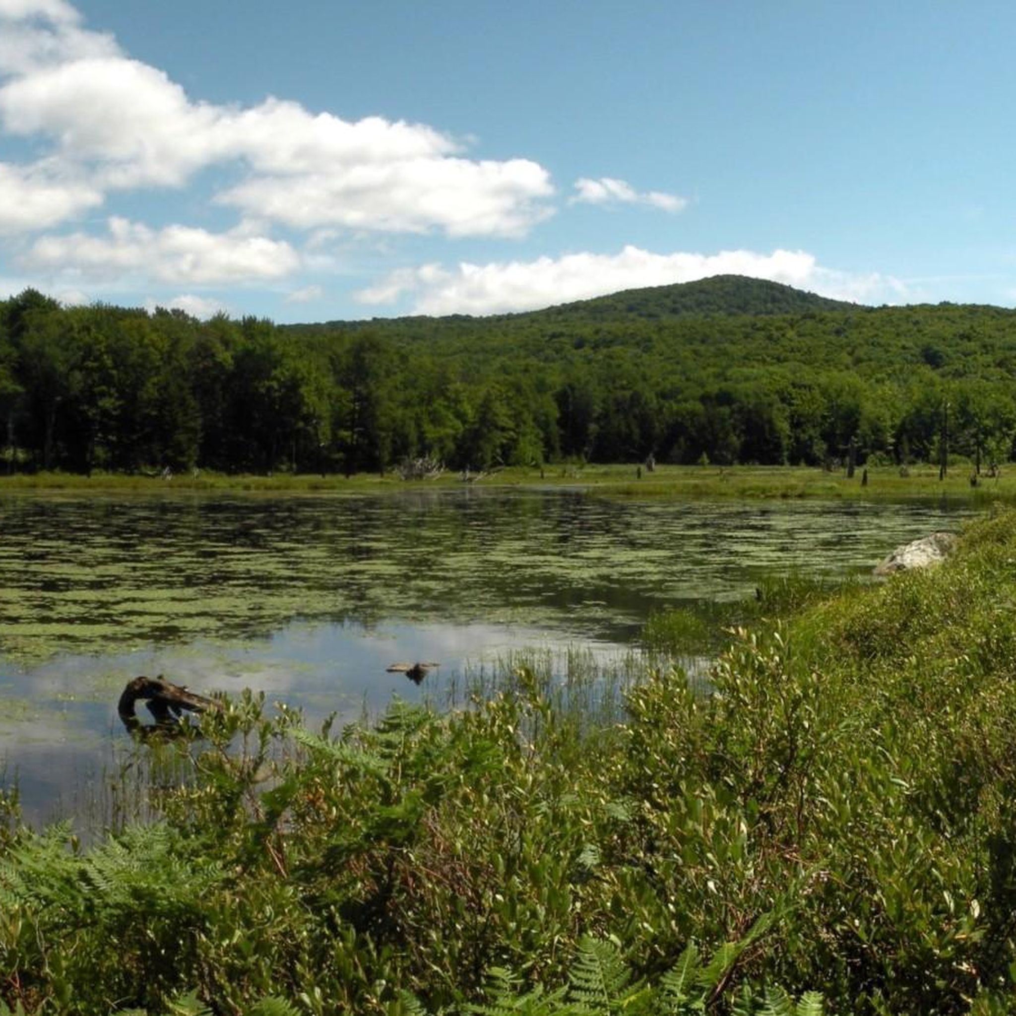
Road cycling in Bristol Cliffs Wilderness and its surrounding region offers diverse terrain within Vermont's Green Mountains. The area features picturesque backroads winding through farmlands and rolling hills, providing scenic views. For experienced road cyclists, challenging mountain passes like Lincoln Gap and Appalachian Gap present significant elevation gains. Routes often traverse thick forests and run alongside streams, with some offering panoramic views across the Champlain Valley.
Best road cycling routes in Bristol Cliffs Wilderness
- The most popular road cycling route…
Last updated: August 9, 2026
9
riders
36.6km
02:02
770m
770m
Moderate road ride. Good fitness required. Mostly well-paved surfaces and easy to ride.
3
riders
32.2km
01:27
340m
340m
Moderate road ride. Good fitness required. Mostly well-paved surfaces and easy to ride.

Sign up for free
2
riders
25.0km
01:23
210m
210m
Moderate road ride. Great for any fitness level. Some segments of this route may be unpaved and difficult to ride.
2
riders
36.9km
01:41
340m
340m
Moderate road ride. Good fitness required. Mostly well-paved surfaces and easy to ride.
179
riders
119km
05:47
1,680m
1,680m
Hard road ride. Very good fitness required. Mostly well-paved surfaces and easy to ride.
Get access to more routes and recommendations from other explorers.
Sign up for free
Already have an account?
Our route recommendations are based on thousands of hikes, rides, and runs completed by other people on komoot.
Start today with a free account
Your next adventure awaits.
Login or Signup
Popular around Bristol Cliffs Wilderness


Tips from the Community

The historic main street of Middlebury offers a quintessential small New England town experience. Unique local shops, art galleries, and restaurants in historic brick buildings line the street. Don't miss the opportunity to admire the beautiful white-steepled church and the picturesque town green.
0
0

Extremely hilly, sounds of nature, lot's to see & experience. Downhills are well worth the climbs. You definitely need to have some rides/climbing in your season. Update 7/26/25 Still crazy hilly & and punchy. However, the downhill runs are amazing..😉
0
0
Middlebury Gap is a mountain pass in Vermont's Green Mountains and a great, very challenging climb for any rider. It divides two different drainage areas with the Robbins Branch flowing southeast into the White River, and the South Branch into Middlebury River, which into Otter Creek, connecting to Lake Champlain. The Long Trail, a 272-mile hiking route traversing Vermont, runs through here, passing between Worth Mountain and Boyce Mountain. The Breadloaf Wilderness lies to the north, while Middlebury College Snow Bowl and Joseph Battell Wilderness are nearby to the south.
0
0

You'll have to hop off your bike if you want to visit Warren Falls, but it's worth the short walk to check out this series of cascades and popular swimming holes.
0
0

A stunning natural site featuring a series of cascading falls and inviting swimming holes. It's a popular destination for locals and tourists.
0
0
Granville Notch, or Granville Gulf, is a mountain pass, located in Granville, Vermont on Vermont Route 100. There are creeks, streams, and waterfalls surrounded by lush forests on both sides of the pass, making this a scenic challenge for any cyclist exploring the area.
0
0
Granville Notch, or Granville Gulf, is a mountain pass, located in Granville, Vermont on Vermont Route 100. There are creeks, streams, and waterfalls surrounded by lush forests on both sides of the pass making this a scenic challenge for any cyclist exploring the area.
0
0

Located in the Green Mountains of Vermont, Appalachian Gap is a popular spot for cyclists, motorcyclists, and hikers. The views across the gap of the Champlain Valley & Adirondack Mountains are excellent.
0
0
Frequently Asked Questions
What kind of terrain can I expect when road cycling around Bristol Cliffs Wilderness?
The region offers diverse terrain, from picturesque backroads winding through bucolic farmlands and gently rolling hills to challenging mountain passes within the Green Mountains. You'll find a mix of paved surfaces and well-maintained gravel or dirt roads, often traversing thick forests and running alongside glimmering streams.
Are there challenging climbs for experienced road cyclists in the area?
Yes, the Green Mountains are renowned for demanding mountain passes. Notable climbs in the vicinity include Lincoln Gap, known as the steepest paved mile in the U.S., and Appalachian Gap. These routes often present significant elevation gains, rewarding riders with expansive vistas. For a challenging ride, consider the Appalachian Gap – Rochester loop from Bristol Pond Access Area, which covers 145.6 km with over 1700 meters of elevation gain.
Are there any moderate road cycling routes suitable for a less intense ride?
Absolutely. The area offers several moderate routes. For example, the Appalachian Gap loop from Deer Leap Natural Area is a moderate 36.6 km path with significant climbs and descents through forested landscapes. Another great option is the Roadbike loop from Colby Hill Town Forest, a 32.2 km trail leading through rolling hills and rural scenery.
What are the best times of year for road cycling in the Bristol Cliffs Wilderness region?
The best times for road cycling are typically spring, summer, and fall. Spring offers fresh greenery, while summer provides warm weather. Autumn is particularly scenic with vibrant fall foliage. Winter conditions can be challenging due to snow and ice, making many routes less accessible for road bikes.
Are there any loop routes available for road cyclists?
Yes, many of the routes in the region are designed as loops, allowing you to start and end at the same point. Examples include the Roadbike loop from Bristol Pond Access Area, a moderate 59.7 km ride, and the more challenging Appalachian Gap loop from Deer Leap Natural Area, which is 67.9 km long.
What kind of scenic views can I expect along the road cycling routes?
Road cycling routes in the wider Bristol area often provide panoramic views. From higher elevations, you can gaze across the Champlain Valley, over Lake Champlain, and into the Adirondacks of New York. Many routes also wind through picturesque farmlands, dense forests, and alongside glimmering streams, offering a variety of natural beauty.
Are there family-friendly road cycling options near Bristol Cliffs Wilderness?
While the immediate Bristol Cliffs Wilderness is rugged, the surrounding region offers picturesque backroads and rolling hills that can be suitable for families, depending on their experience level. Look for routes with less elevation gain and lower traffic. Always check the route details for distance and elevation to ensure it matches your family's capabilities.
Where can I find parking for road cycling routes in the Bristol area?
Parking availability varies by route. Many routes start from designated access areas or trailheads, such as Deer Leap Natural Area or Bristol Pond Access Area, where parking is typically available. It's always recommended to check the specific route details on komoot for parking information before you head out.
What amenities like cafes or accommodation are available near the cycling routes?
The town of Bristol, Vermont, and other nearby communities offer various amenities. You can find local cafes, pubs, and accommodation options to refuel and rest after your rides. These towns provide a good base for exploring the region's cycling opportunities.
How many road cycling routes are available in the Bristol Cliffs Wilderness region?
There are several road cycling routes available in the Bristol Cliffs Wilderness region, with komoot featuring 7 distinct routes. These range from moderate to difficult, offering options for various skill levels and preferences.
What do other road cyclists enjoy most about the Bristol Cliffs Wilderness area?
Road cyclists frequently praise the region for its diverse terrain, from challenging mountain passes to scenic backroads through farmlands. The opportunity to experience significant elevation gains and panoramic views, especially across the Champlain Valley, is a major draw. Many also appreciate the rides through thick forests and alongside waterways, providing a truly immersive natural experience.

Get inspired with the komoot mobile app


Explore more
Browse the best Road cycling routes in other regions.
