The best running trails in Cucamonga Wilderness
4.5
(3)
222
runners
9
runs
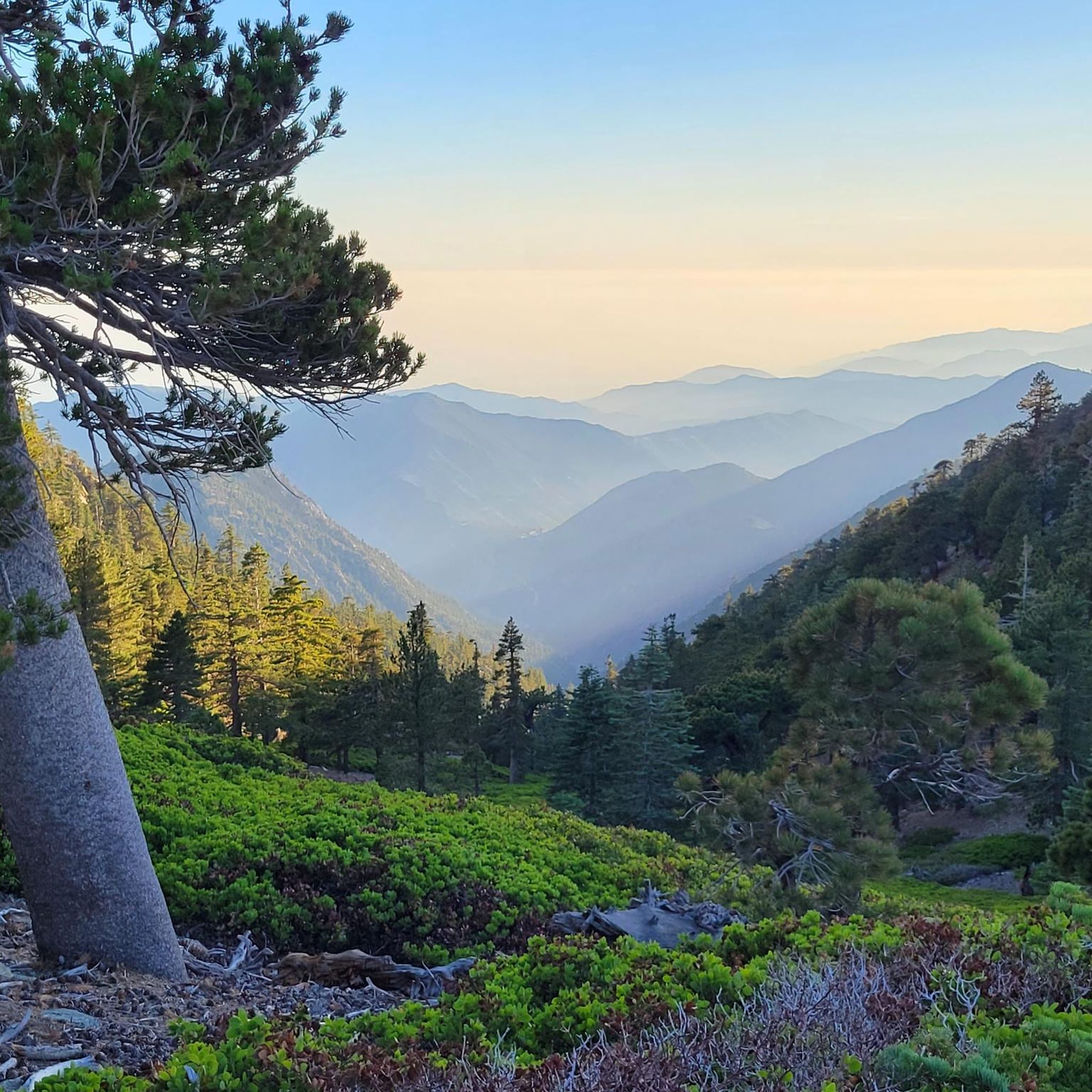
Jogging in Cucamonga Wilderness offers a challenging experience within the eastern San Gabriel Mountains of Southern California. The region is characterized by steep, rugged terrain with significant elevation gains, providing strenuous climbs. It transitions into a subalpine environment featuring mixed conifer forests, including sugar pine. This wilderness is ideal for runners seeking to push their limits on varied inclines and explore a network of trails.
Best jogging routes in Cucamonga Wilderness
- The most popular jogging route is Icehouse Saddle –…
Last updated: September 30, 2026
4.0
(2)
22
runners
18.2km
03:04
1,260m
1,260m
Hard run. Very good fitness required. Mostly paved surfaces. Suitable for all skill levels.
15
runners
16.8km
02:39
1,000m
1,000m
Hard run. Very good fitness required. Mostly paved surfaces. Suitable for all skill levels.

14
runners
34.2km
05:46
2,290m
2,290m
Hard run. Very good fitness required. Sure-footedness, sturdy shoes and alpine experience required.
12
runners
21.5km
03:25
1,250m
1,250m
Hard run. Very good fitness required. Mostly paved surfaces. Suitable for all skill levels.
74
runners
16.4km
02:55
1,190m
1,190m
Prepare for a challenging jogging experience on the Devil's Backbone Trail loop, a difficult route spanning 10.2 miles (16.4 km) with a significant 3888 feet (1185 metres) of elevation gain.…
Get access to more routes and recommendations from other explorers.
Already have an account?
Our route recommendations are based on thousands of hikes, rides, and runs completed by other people on komoot.
Start today with a free account
Your next adventure awaits.
Popular around Cucamonga Wilderness

Tips from the Community

The Devils Backbone Trail is one of the most popular trails to summit Mount San Antonio (Mt. Baldy). Unlike the other most popular trail, the Baldy Bowl, or Ski Hut, Trail this trail is longer and more gradual making for a somewhat easier, but still very challenging experience.
0
0

The Baldy Bowl Trail, or the Ski Hut Trail, is the shortest way up to the summit of Mount San Antonio (Mt. Baldy), the highest point in Los Angeles County. In order to achieve this however, the trail more or less bombs up the side of the mountain and is quite steep.
0
0

Built by the Ski Mountaineers in 1936, the San Antonio Ski Hut is located at 8,300' and reached via a steep 3-mile hike and 2200' foot elevation gain. The trailhead starts 1 mile beyond the locked gate of San Antonio Falls Rd. (approx 300 yards past Snowcrest Lodge and 400 yards before the entrance to Mt. Baldy Ski Lifts). The hut offers a fully-equiped kitchen, dishes, cookware, running water and solar lighting. Sleeping room for up to 16 is available. Water from a spring is piped directly through the kitchen, running 24 hours a day. Day Use: $1 Donation; Overnight: Sierra Club Members $15, Non-members $20. More Info: https://angeles.sierraclub.org/san_antonio_ski_hut
1
0
Mount San Antonio, also known as Old Baldy or Mount Baldy, is the highest peak in the San Gabriel Mountains at 10,069 feet (3,069 m) and the highest point in Los Angeles County, California. The sometimes snow-capped summit of Mount San Antonio is also visible in Los Angeles on clear days and is a dominant sight from the city.
1
0

Timber Mountain is an 8,307-foot peak right on the border of Angeles National Forest and San Bernardino National Forest. This peak is a remote-feeling peak in the Cucamonga Wilderness since the summit is at the end of a dead-end trail.
0
0
Bighorn Peak is an 8,441-foot peak in the Cucamonga Wilderness that doesn't see nearly as many visitors as some of the other nearby summits. This is a great peak to go after if you are a fan of power-hiking and solitude.
0
0
Cucamonga Peak rises up to 8,862 feet and is one of the most popular peaks that you can access from the Icehouse Canyon Trail. You get an awesome view of the San Gabriel range from the peak, which you should only attempt to run up in the dry season.
0
0
The Cucamonga Wilderness encompasses over 12,000 acres of mountains, valleys, and rivers in Angeles National Forest and San Bernardino National Forest. Being a wilderness area, some of the trails are more primitive than city trails, but you are surrounded by wildlife and nature as you run through the mountains. Keep in mind that running in the Cucamonga Wilderness requires a free permit.
0
0
Frequently Asked Questions
How many running routes are available in Cucamonga Wilderness?
The Cucamonga Wilderness offers a selection of 12 dedicated running routes. These trails are predominantly challenging, designed for experienced runners seeking significant elevation gains and rugged terrain.
Are there any easy running routes for beginners in Cucamonga Wilderness?
The Cucamonga Wilderness is known for its steep and rugged terrain, with most routes classified as difficult. There are no easy running routes listed, and only one route is considered moderate. Runners should be prepared for strenuous climbs and significant elevation changes.
What kind of terrain can I expect when running in Cucamonga Wilderness?
You can expect a challenging and varied terrain. The wilderness features steep, rugged paths with significant elevation gains, transitioning into a beautiful subalpine environment. You'll run through mixed conifer forests, including sugar pine, and encounter dramatic landscapes. Higher elevations offer breathtaking panoramic views of the surrounding mountain ranges.
Are there any circular running routes in the Cucamonga Wilderness?
Yes, several popular running routes in the Cucamonga Wilderness are circular. For example, the Icehouse Saddle – Cucamonga Peak loop from Icehouse Canyon Trailhead is an 11.3-mile strenuous ascent offering sweeping views. Another option is the Icehouse Saddle – Timber Mountain loop from Icehouse Canyon Trailhead, which climbs through dense sugar pine forests.
What are some prominent peaks I can reach on a run in Cucamonga Wilderness?
The wilderness is renowned for several challenging peaks that make excellent running destinations. You can aim for Cucamonga Peak, which is part of the 'SoCal Six-Pack of Peaks', or Timber Mountain. Other notable summits include Telegraph Peak and Bighorn Peak, all offering rewarding views.
What do other runners say about the trails in Cucamonga Wilderness?
The running trails in Cucamonga Wilderness are highly regarded by the komoot community, holding an average rating of 4.0 stars. Over 200 runners have used komoot to explore this area, often praising the challenging ascents, the beautiful subalpine forests, and the expansive views from the peaks.
Is water readily available along the running routes?
Natural water sources like streams and rivers are relatively scarce within the Cucamonga Wilderness. It is crucial for runners to plan their hydration carefully and carry sufficient water for their entire route, especially given the strenuous nature of the trails and potential for high temperatures.
Are permits required for running in Cucamonga Wilderness?
Yes, a free wilderness permit is required for day hikes and overnight trips, particularly for portions of the wilderness within the San Bernardino National Forest. An Adventure Pass may also be necessary for parking at certain trailheads. It's advisable to check current requirements before your visit.
What kind of wildlife might I encounter while running?
The Cucamonga Wilderness is home to a healthy variety of wildlife. Runners might spot deer, bears, mountain lions, and bighorn sheep. Maintaining awareness of your surroundings and respecting wildlife is important for a safe and enjoyable experience.
Are there any shaded running routes in the wilderness?
Yes, areas like Icehouse Canyon offer shaded sections. The Icehouse Saddle – Icehouse Saddle loop from Icehouse Canyon Trailhead, for instance, climbs through dense sugar pine forests, providing a scenic and often shaded ascent, which can be a welcome relief on sunny days.
What are some notable landmarks or points of interest along the running trails?
Beyond the prominent peaks, a key point of interest is Icehouse Saddle. This serves as a major hub where several trails converge, offering a common resting point and a decision-making juncture for choosing further routes into the wilderness. The historic Icehouse Canyon itself is also a significant feature.
What is the best time of year to go running in Cucamonga Wilderness?
The subalpine setting means cooler temperatures at higher elevations, offering a refreshing change from the valley below. While specific recommendations vary, spring and fall generally provide the most pleasant conditions for running. Summers can be hot, and winters may bring snow and ice, requiring specialized gear and caution.
Most popular attractions in Cucamonga Wilderness

Get inspired with the komoot mobile app


Explore more
Browse the best Running Trails & Routes in other regions.
