The best walks and hikes in Blackridge Wilderness
4.6
(110)
1,276
hikers
23
hikes
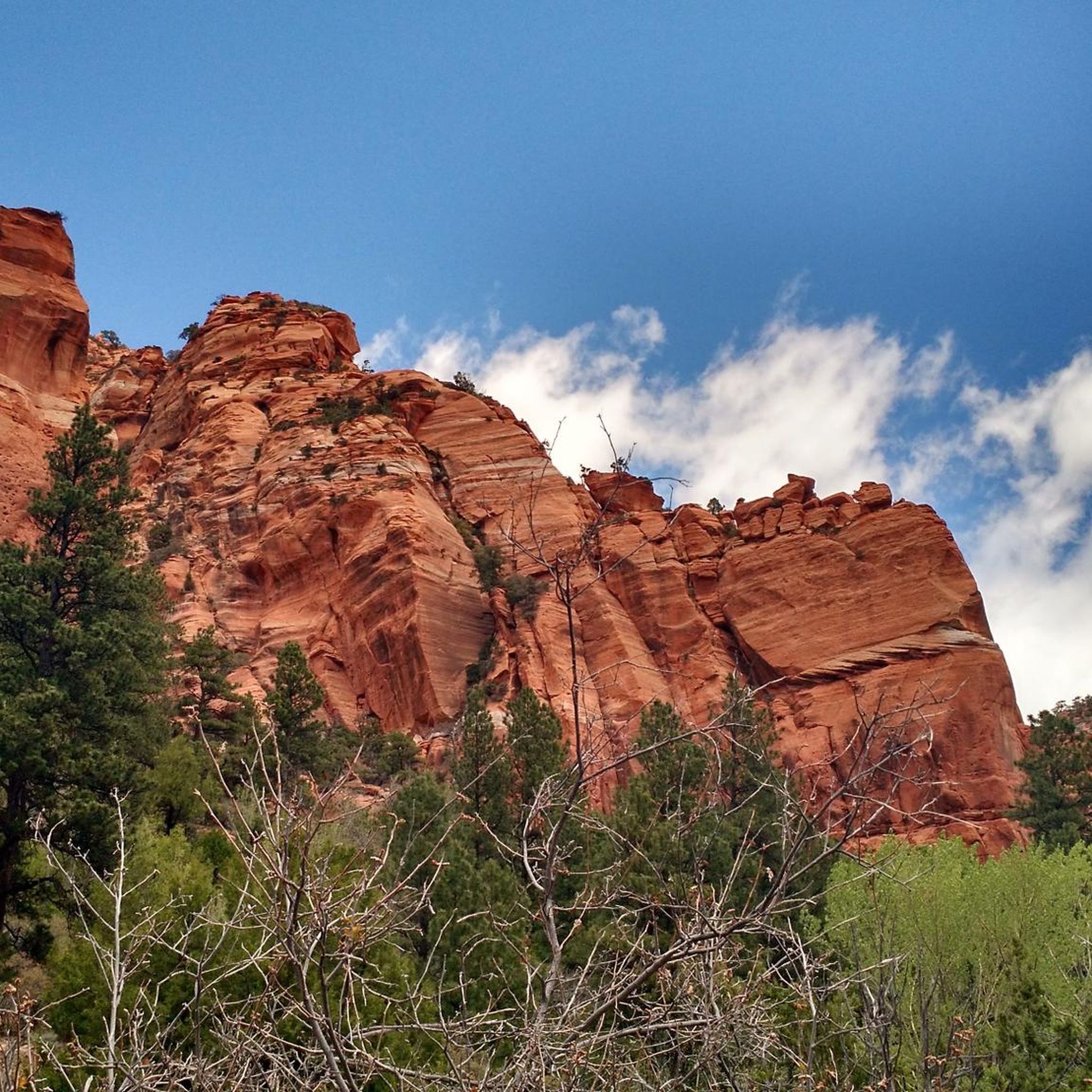
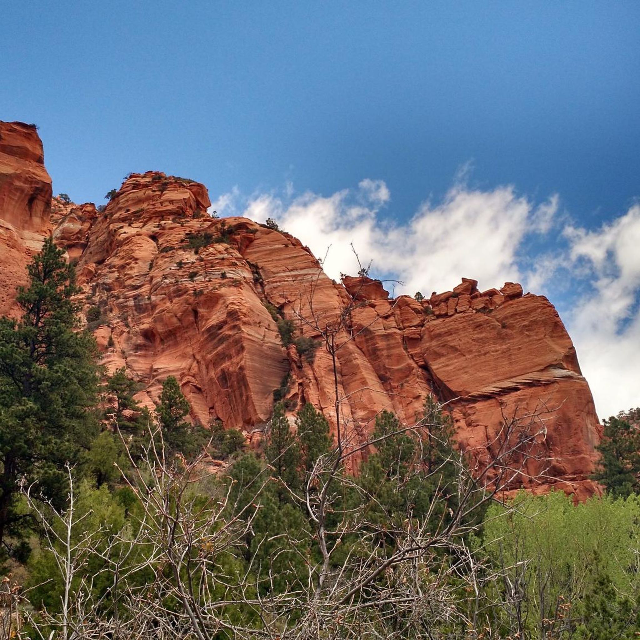
Hiking in Blackridge Wilderness offers diverse terrain and significant elevation changes, characterized by rugged sedimentary cliffs and deep canyons carved from red Navajo Sandstone. The region's natural features include Black Ridge, which reaches 6,565 feet (2,001 meters), providing expansive viewpoints. Elevations range from approximately 3,650 to 6,550 feet, supporting varied ecosystems from ponderosa pine forests at higher altitudes to desert vegetation at lower levels. This landscape provides a range of Blackridge Wilderness hikes suitable for different experience levels.
Best hiking trails in Blackridge Wilderness
- The most popular hiking route is Rattlesnake Gulch Trail to Toquerville Falls — Toquerville, a 2.9 miles (4.7 km) trail that takes 1 hour 17 minutes to complete. This moderate route features a gradual elevation gain through a scenic gulch.
- Another top favourite among local hikers is View of Zion Wilderness – Timber Creek Overlook loop from Shuntavi Butte, an easy 1.9 miles (3.0 km) path. This trail offers panoramic views towards Zion National Park and Canaan Mountain.
- Local hikers also love the View of Zion Wilderness – Timber Creek Overlook loop from Lee Pass Trailhead parking, a 2.9 miles (4.6 km) trail leading through varied terrain with views of the surrounding wilderness, often completed in about 1 hour 20 minutes.
- Hiking in Blackridge Wilderness is defined by rugged canyons, sandstone cliffs, and diverse vegetation zones. The network offers options for different ability levels, from easy loops to more challenging routes with significant elevation changes.
- The routes in Blackridge Wilderness are highly rated by the komoot community with an average score of 4.7 stars from over 90 reviews. More than 1100 hikers have used komoot to explore Blackridge Wilderness's varied terrain.
Last updated: June 25, 2026
4.75km
01:18
70m
70m
Moderate hike. Great for any fitness level. Mostly accessible paths. Sure-footedness required.
6
hikers
30.5km
08:41
780m
490m
Hard hike. Very good fitness required. Easily-accessible paths. Suitable for all skill levels.

Sign up for free
11.0km
03:13
340m
270m
Moderate hike. Good fitness required. Easily-accessible paths. Suitable for all skill levels.
4.8
(19)
319
hikers
Easy hike. Great for any fitness level. Easily-accessible paths. Suitable for all skill levels.
25
hikers
Easy hike. Great for any fitness level. Easily-accessible paths. Suitable for all skill levels.
Get access to more routes and recommendations from other explorers.
Sign up for free
Already have an account?
Our route recommendations are based on thousands of hikes, rides, and runs completed by other people on komoot.
Start today with a free account
Your next adventure awaits.
Login or Signup


Tips from the Community

You've made it this far so take some time to stretch your legs and enjoy the view. There are toilets and a small picnic area here, was well as a short trail the the Timber Creek Overlook. While there isn't a bike rack there are fences you can lock your bike to if you want to explore the hiking trail.
0
0


Toquerville Falls is a spectacular set of waterfalls on La Verkin Creek. The creek makes for a great swim spot, so it's refreshing escape from the desert heat.
0
0

Frequently Asked Questions
How many hiking trails are available in Blackridge Wilderness?
Blackridge Wilderness offers a diverse selection of over 14 hiking routes, catering to various skill levels. You'll find options ranging from easy strolls to more challenging treks through its rugged landscapes.
What is the best time of year to go hiking in Blackridge Wilderness?
The most enjoyable seasons for hiking in Blackridge Wilderness are spring and autumn. During these times, temperatures are more moderate, making it ideal for exploring the canyons and scenic viewpoints. Summer can be very hot, especially at lower elevations, while winter may bring colder conditions and potential snow at higher altitudes.
Are there any easy hiking trails suitable for families in Blackridge Wilderness?
Yes, Blackridge Wilderness has several easy trails perfect for families. An excellent option is the View of Zion Wilderness – Timber Creek Overlook loop from Shuntavi Butte. This 1.9-mile (3.0 km) path offers panoramic views towards Zion National Park and Canaan Mountain, making it a rewarding experience for all ages.
What kind of wildlife can I expect to see while hiking in Blackridge Wilderness?
Blackridge Wilderness is rich in wildlife. Hikers often spot mule deer, and the area also supports mountain lions. The steep cliff walls provide nesting sites for various raptors, including bald eagles, peregrine falcons, golden eagles, and red-tailed hawks. Keep an eye out for these magnificent birds soaring above the canyons.
Are dogs allowed on the hiking trails in Blackridge Wilderness?
While Blackridge Wilderness is a federal wilderness area, specific regulations regarding dogs can vary. Generally, dogs are permitted on trails but must be kept on a leash to protect wildlife and ensure the safety of other hikers. It's always best to check the latest regulations from the Bureau of Land Management (BLM) before your visit. For more information, you can visit the BLM Black Ridge Canyons Wilderness page.
Are there any circular hiking routes in Blackridge Wilderness?
Yes, there are circular routes available. The View of Zion Wilderness – Timber Creek Overlook loop from Lee Pass Trailhead parking is a popular 2.9-mile (4.6 km) loop that takes you through varied terrain with excellent views of the surrounding wilderness, typically completed in about 1 hour 20 minutes.
What are the most challenging hikes in Blackridge Wilderness?
For those seeking a challenge, Blackridge Wilderness offers difficult routes that test endurance. An example of a more strenuous hike is the Kolob Arch via La Verkin Creek Trail, which is a longer route with significant elevation changes, providing a true wilderness experience.
What kind of natural features and viewpoints can I expect to see?
Blackridge Wilderness is renowned for its dramatic topography, featuring rugged sedimentary cliffs and deep canyons carved from red Navajo Sandstone. The prominent Black Ridge itself offers outstanding panoramic views into Zion National Park, over to Canaan Mountain, and west to the Pine Valley Mountains. You'll also encounter diverse ecosystems, from ponderosa pine forests at higher elevations to desert vegetation and unique riparian habitats with hanging gardens along streambeds.
What do other hikers enjoy most about Blackridge Wilderness?
The area is highly rated by the komoot community, with an average score of 4.7 stars from over 90 reviews. Hikers frequently praise the stunning and diverse natural features, the rugged landscapes, and the sense of solitude and pristine wilderness. Many appreciate the variety of trails that cater to different fitness levels, all set against a backdrop of breathtaking scenery.
Are there any trails that feature waterfalls in Blackridge Wilderness?
While not a primary feature across all trails, the Rattlesnake Gulch Trail to Toquerville Falls — Toquerville is a moderate 2.9-mile (4.7 km) route that leads to the scenic Toquerville Falls, offering a beautiful natural water feature as a highlight of the hike.
What are the elevation changes like on trails in Blackridge Wilderness?
Blackridge Wilderness features significant elevation changes, with elevations ranging from approximately 3,650 to 6,550 feet. This diversity means you can find trails with gradual inclines, such as the Rattlesnake Gulch Trail, or more challenging routes with substantial ascents and descents, like those leading to Kolob Arch, providing varied experiences for all hikers.
Most popular routes in Blackridge Wilderness

Get inspired with the komoot mobile app


Explore more
Browse the best Hikes in other regions.
