The best walks and hikes around Fornach
4.5
(776)
4,681
hikers
281
hikes
Hiking around Fornach offers access to diverse terrain within the Hausruck and Kobernausserwald mountain ranges. The region features a mix of easily-accessible paths and more challenging sections, with elevation gains catering to different skill levels. Hikers can experience panoramic vistas of the Alpine Foothills and explore natural features such as the Tiefenbach stream source area with its hidden ponds. The landscape is characterized by varied forest terrain and open ridges.
Best hiking trails around Fornach
- The most popular hiking route…
Last updated: June 28, 2026
22
hikers
4.15km
01:13
110m
110m
Easy hike. Great for any fitness level. Easily-accessible paths. Suitable for all skill levels.
22
hikers
5.01km
01:28
130m
130m
Easy hike. Great for any fitness level. Easily-accessible paths. Suitable for all skill levels.

Sign up for free
4.0
(1)
10
hikers
6.77km
01:57
170m
170m
Easy hike. Great for any fitness level. Easily-accessible paths. Suitable for all skill levels.
7
hikers
8.53km
02:28
200m
200m
Moderate hike. Good fitness required. Easily-accessible paths. Suitable for all skill levels.
6
hikers
7.55km
02:10
180m
180m
Moderate hike. Good fitness required. Easily-accessible paths. Suitable for all skill levels.
Get access to more routes and recommendations from other explorers.
Sign up for free
Already have an account?
Our route recommendations are based on thousands of hikes, rides, and runs completed by other people on komoot.
Start today with a free account
Your next adventure awaits.
Login or Signup
Tips from the Community

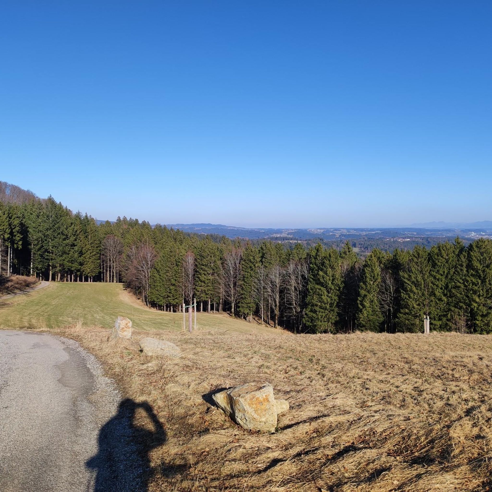
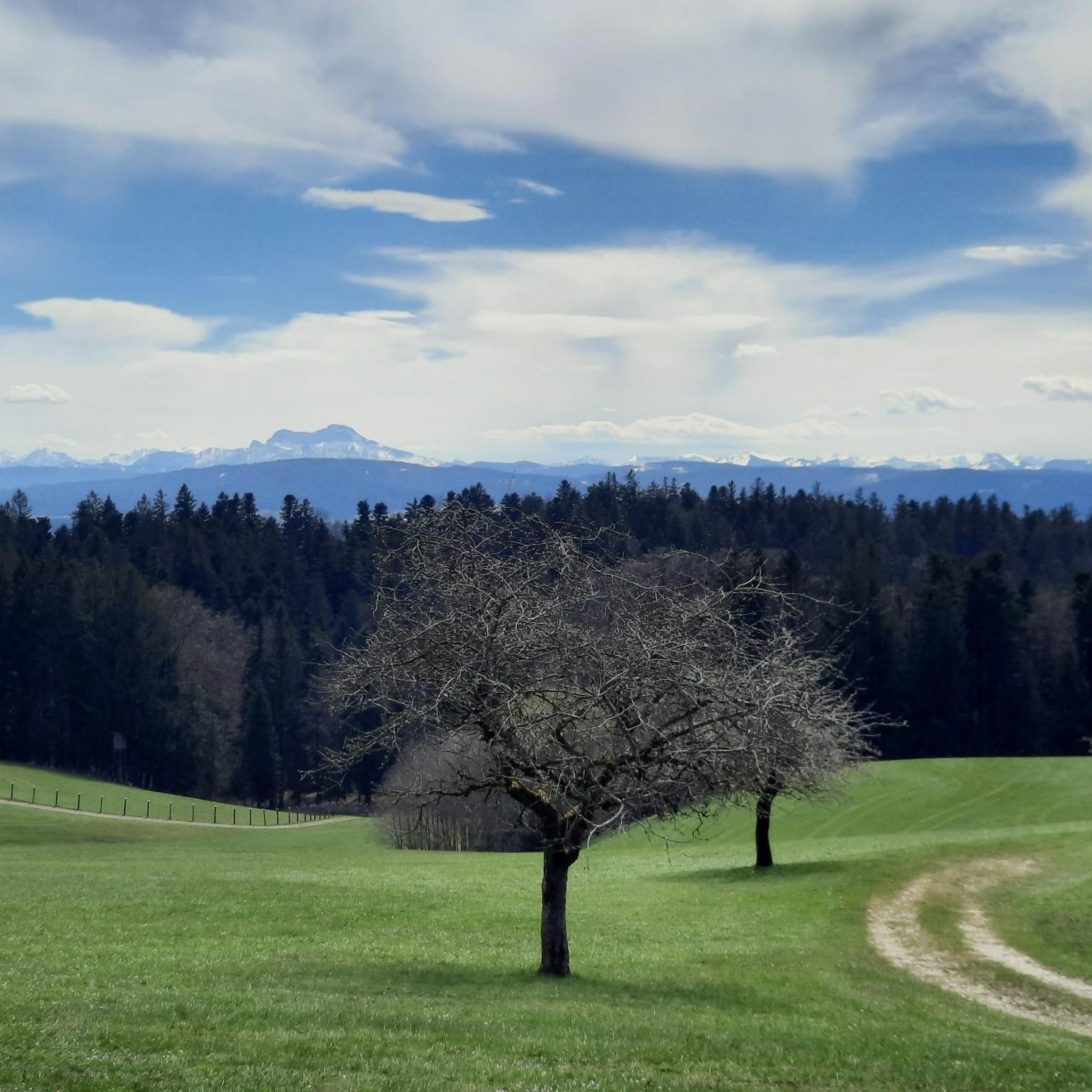
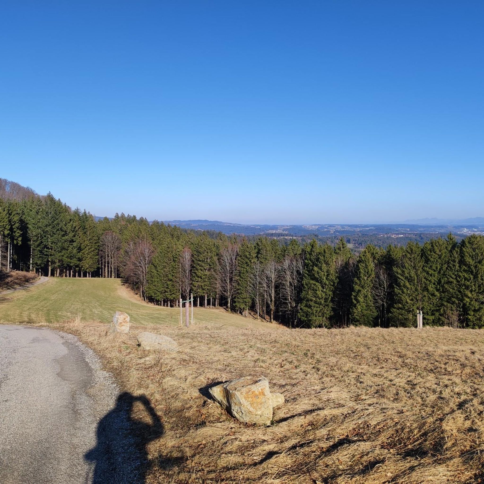
The climb up the road from Fornach is a bit tough, but it's worth it. It offers a stunning panorama from the Traunstein Mountains over the Höllengebirge/Schafberg, the peaks of Salzburg and Berchtesgaden to the Kobernaußerwald forest in the west.
0
0

most beautiful view at the start
0
0

It is a 734 meter high mountain in the Hausruck and Kobernausserwald range in the Hausruckviertel. The summit is in the municipality of Pöndorf. To the northwest, the Rabenbachtal leads to the Hochecker Schwemmbachtal and thus to Mattig and Inn, to the west is the Fornacher Redltal, which drains with the Bruckwiesenbach to the Vöckla and via the Ager to the Traun. The mountain is mostly counted towards the Kobernausserwald, partly also towards the Hausruck – the demarcation of which is seen somewhere in the room. The name is likely to be of Slavic origin, -eis is a typical Windian educational syllable. In the Franciscan cadastre of the 1830s, a small hilltop settlement of Branauer is listed here, as well as an important border tree. There is said to have been an inn here. A single hut still stands today. A chapel is said to have stood nearby even earlier, according to Carl Schütz in 1787, in the south towards Meisterholz there is a St. Wolfgang. It must have fallen into disrepair by the 1830s. The mountain can be reached from all sides on numerous forest roads, through the valleys as well as along the ridges. A forest road also runs along the ridge itself. This makes the area good for hiking and mountain biking
2
0
Frequently Asked Questions
What kind of terrain can I expect on hikes around Fornach?
The hiking trails around Fornach offer a diverse mix of terrain. You'll find paths through the varied forest landscapes of the Hausruck and Kobernausserwald mountain ranges, as well as open ridges. Many routes provide panoramic vistas of the Alpine Foothills.
Are there hiking trails for all skill levels in Fornach?
Yes, Fornach caters to various fitness levels. There are over 130 easy routes for leisurely strolls, around 140 moderate trails for those seeking a bit more challenge, and a few more difficult options. Elevation gains range from under 1,000 ft to over 3,000 ft, ensuring there's something for everyone.
How long do hikes around Fornach typically take?
Hike durations vary depending on the route and your pace. For example, the View of the Alpine Foothills loop from Raitenberg typically takes about 1 hour 28 minutes, while the Panoramic View loop from Fornach can be completed in around 1 hour 57 minutes. Longer routes like the Kalteis Hut loop from Ramsau might take over 2 hours.
Are there family-friendly hiking options in Fornach?
Many of the trails around Fornach are considered easy and suitable for families. Routes like the Hobelsberg (Ries´n) loop from Hochlehen are relatively short and lead through varied forest terrain, making them pleasant for all ages. The region's well-maintained paths generally offer a good experience for families.
Can I bring my dog on the hiking trails in Fornach?
Most hiking trails in natural areas like Fornach are dog-friendly, but it's always recommended to keep your dog on a leash, especially in forested areas or near livestock. Be sure to check local regulations or specific trail signs for any restrictions.
Are there many circular hiking routes available in Fornach?
Yes, Fornach is well-suited for circular hikes. Many popular routes, such as the View of the Alpine Foothills loop from Fornach and the Kalteis Hut loop from Ramsau, are designed as loops, allowing you to start and end at the same point without retracing your steps.
What natural features can I explore while hiking near Fornach?
You can discover several natural highlights. The region provides access to the Hausruck and Kobernausserwald mountain ranges. North of Fornach, within the forest east of "Hochlehen," you can find the source area of the Tiefenbach stream, featuring beautifully situated and well-hidden ponds.
Are there any notable viewpoints or landmarks along the trails?
Yes, several trails offer scenic viewpoints. The Panoramic View loop from Fornach is specifically known for its vistas. You might also encounter landmarks like the Kalteis Hut, which serves as a good spot for a break, or the Göblberg Observation Tower in the wider area.
Is parking available at the trailheads in Fornach?
While specific parking information for every trailhead isn't always available, Fornach is a village with amenities, and it's generally possible to find parking near popular starting points for hikes. Look for designated parking areas or consider starting from the village center.
What do other hikers enjoy most about the trails in Fornach?
The trails in Fornach are highly regarded by the komoot community, with an average score of 4.6 stars from over 600 reviews. Hikers often praise the varied forest terrain, the panoramic views of the Alpine Foothills, and the well-maintained paths that cater to different abilities.
Are there places to stop for a break or refreshments on the trails?
Yes, depending on your chosen route, you might find options for refreshments. The Kalteis Hut, for instance, is a known spot for a break on the Kalteis Hut loop from Ramsau. In Fornach itself, you can find local amenities.
What is the best time of year to go hiking in Fornach?
Fornach is an appealing destination for hiking throughout much of the year. Spring and autumn offer pleasant temperatures and beautiful scenery with changing foliage. Summer is also great, though it can be warmer. Winter hiking is possible, but some trails might require appropriate gear or be less accessible depending on snow conditions.
Most popular attractions around Fornach

Get inspired with the komoot mobile app


Explore more
Browse the best Hikes in other regions.
