The best cycling routes in Uncompahgre Wilderness
5.0
(1)
24
riders
7
rides
Touring cycling in Uncompahgre Wilderness is not permitted within the designated Wilderness Area itself due to its protected status. However, the broader Uncompahgre National Forest and surrounding regions offer extensive opportunities for cycling, allowing access to the dramatic mountain scenery that frames the Wilderness. This area features impressive craggy summits, glacial valleys, and diverse ecosystems ranging from high alpine areas to pine and aspen forests. The region provides a variety of terrain for touring cyclists, including remote, winding roads and…
Last updated: September 28, 2026
16.2km
01:01
140m
140m
Cycle the easy 10.0-mile Lake San Cristobal loop, gaining 449 feet, for stunning views of the lake and San Juan Mountains.
5
riders
71.5km
05:10
1,530m
1,530m
Hard bike ride. Very good fitness required. You may need to push your bike for some segments of this route.

3
riders
26.7km
02:12
840m
840m
Challenge yourself on the difficult 16.6-mile Slumgullion Pass — Lake City touring cycling route with 2771 feet of elevation gain.
2
riders
50.3km
05:14
1,210m
1,210m
Cycle the difficult 31.3-mile Engineer Pass Road in Colorado's San Juan Mountains for epic views and a challenging adventure.
11
riders
20.3km
01:30
200m
200m
Moderate bike ride. Good fitness required. Mostly paved surfaces. Suitable for all skill levels.
Get access to more routes and recommendations from other explorers.
Already have an account?
Our route recommendations are based on thousands of hikes, rides, and runs completed by other people on komoot.
Start today with a free account
Your next adventure awaits.
Popular around Uncompahgre Wilderness
Tips from the Community

Engineer Pass sits at 12,800 feet in elevation and is one of the highest roads in Colorado. From the summit, you will enjoy spectacular panoramic views of the San Juan Mountains, including 14,000-foot peaks such as Mt. Sneffels and Uncompahgre Peak.
1
0
Lake San Cristobal is a freshwater lake that sits at just over 9,000 feet in elevation. The lake is well-kept and stocked with Rainbow Trout. It's a beautiful spot for fishing, boating, paddleboarding, and camping.
0
0
Slumgullion Pass sits at 11,530 feet in elevation and gets its name from an old miners' term "slum",which refers to the leftover mud and yellow soils in gold-dense areas. The pass is well-maintained and offers spectacular views.
1
0
Red Mountain Pass is nestled within the San Juan Mountains and reaches an elevation of 11,018 feet. It is surrounded with dramatic landscapes decked with red and yellow hues, showcasing the region's rich mineral deposits. The pass is also part of the Million Dollar Highway, offering panoramic vistas and towering peaks.
0
0
Silverton sits at an elevation of 9,318 feet and holds the distinction of being a National Historic Landmark, forming an integral part of the San Juan Skyway. It is nestled in the Animas River Valley and is encircled by rugged peaks, providing a panoramic backdrop to the town. Additionally, it serves as a popular summer destination for the Durango & Silverton Narrow Gauge Railroad.
0
0

Longfellow Mine sits next to a lake near the Black Bear Pass trailhead. The mine is one of many visible from the Million Dollar Highway. The Koehler Tunnel is just across the creek to the south.
0
0
The trail up to the Silvercloud Mine is an easy hike along an OHV track that takes you up the canyon past a stunning waterfall to the old mine. The Upper portion of the trail may be snowed in through mid-summer.
0
0

The small town of Silverton is a convinient stop along the Colorado Trail bike route. There is also an alternate route that leads you into Silverton. You will find everything your biker heart needs: lodging, grocery store, restaurants, outfitter, a post office and ATMs.
3
0
Frequently Asked Questions
Is touring cycling permitted within the Uncompahgre Wilderness Area itself?
No, touring cycling, along with all forms of mechanical transport, is prohibited within the designated Uncompahgre Wilderness Area. This is due to its protected status under the Wilderness Act of 1964, which aims to preserve its pristine natural conditions. However, the broader Uncompahgre National Forest and surrounding regions offer extensive opportunities for cycling, allowing you to experience the dramatic mountain scenery that frames the Wilderness. You can learn more about the Wilderness's status on Wikipedia.
What kind of terrain can I expect on touring cycling routes in the Uncompahgre region?
The Uncompahgre region, outside the Wilderness boundaries, offers diverse terrain. You'll find remote, winding roads and mountain passes, as well as extensive gravel cycling routes, particularly around Ridgway. These range from easy, smooth gravel county roads to more challenging double-track forest service roads and high desert plateau riding. Expect dramatic mountain scenery, glacial valleys, and varied ecosystems from high alpine areas to pine and aspen forests.
Are there any easy touring cycling routes suitable for beginners or families?
Yes, there are easy routes available in the surrounding Uncompahgre National Forest. For instance, the Lake San Cristobal route is an easy 10.0-mile (16.2 km) trail offering scenic views. Another accessible option is the Bike loop from Ouray County, which is also rated as easy.
What are some challenging touring cycling routes for experienced riders?
For experienced touring cyclists seeking a challenge, routes like Slumgullion Pass — Lake City offer significant elevation gain over 16.6 miles (26.7 km) through mountainous terrain. Another difficult option is the Engineer Pass Road, a 31.3-mile (50.3 km) trail leading through high mountain passes.
What is the best time of year for touring cycling in the Uncompahgre region?
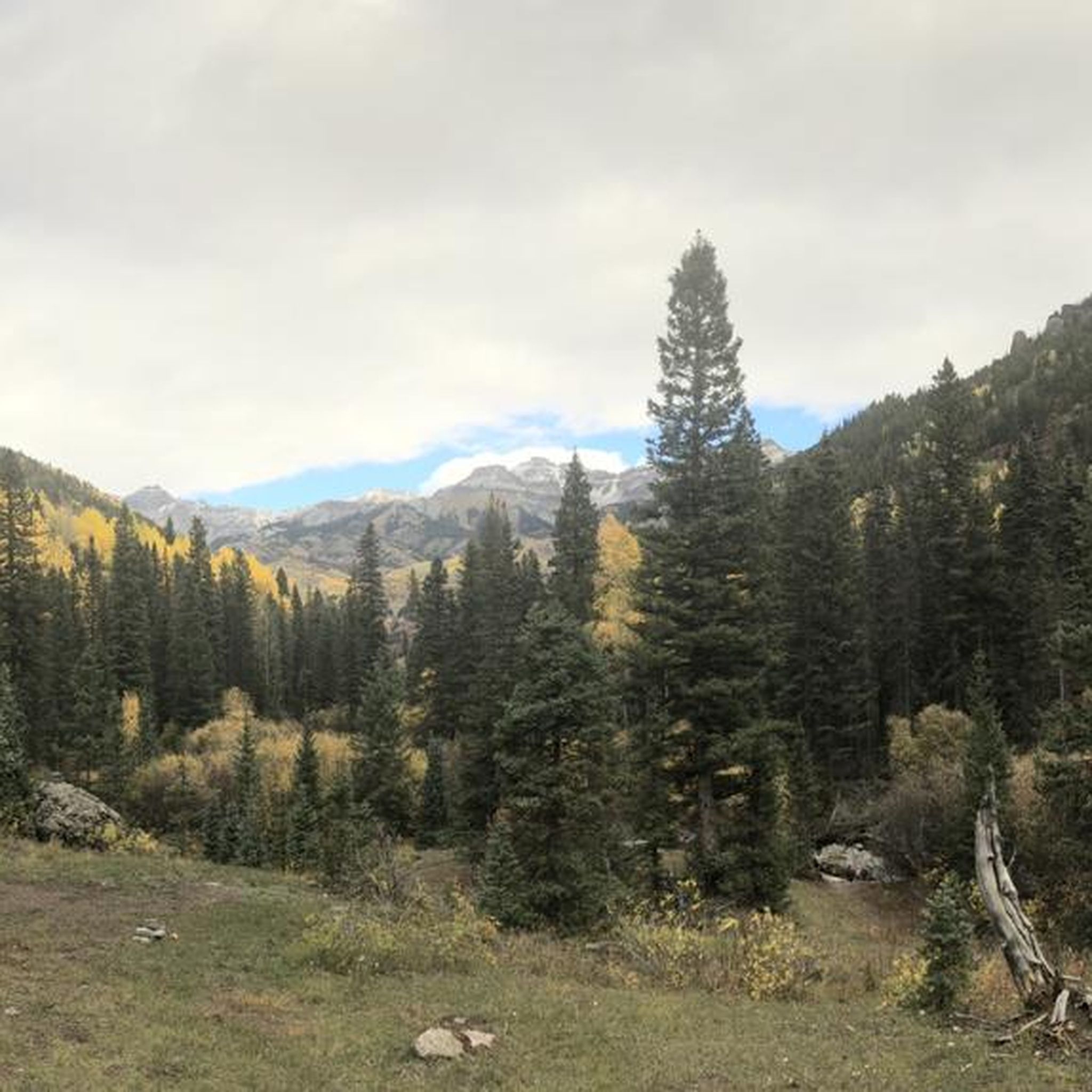
The best time for touring cycling in the Uncompahgre region is generally from late spring through early autumn. During autumn, the pine and aspen forests turn golden, offering particularly spectacular views. Always check local weather and road conditions, especially for high mountain passes, as they can be affected by snow well into late spring or early summer.
Are there any notable landmarks or viewpoints along the cycling routes?
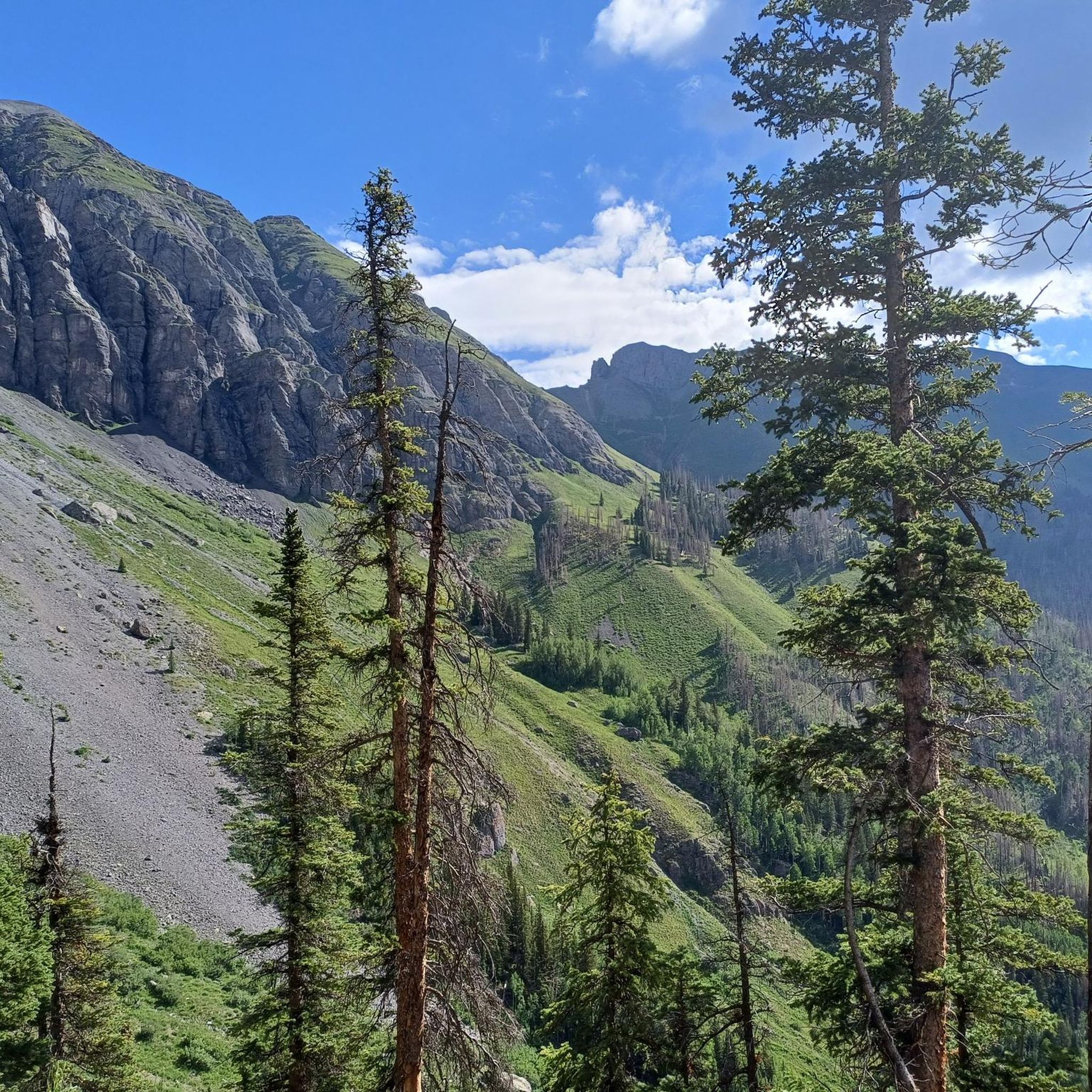
While cycling is outside the Wilderness, the routes in the surrounding Uncompahgre National Forest offer breathtaking views of iconic peaks like Uncompahgre Peak and Wetterhorn Peak. You can also see dramatic craggy summits and towering rock castles. The region features U-shaped glacial valleys and diverse ecosystems. For specific points of interest, consider visiting Courthouse Mountain, which offers impressive vistas.
What do other touring cyclists say about the routes in the Uncompahgre region?
The touring cycling routes in the Uncompahgre region are highly rated by the komoot community, with an average score of 5.0 stars. Cyclists often praise the dramatic mountain scenery, the variety of terrain from easy gravel roads to challenging mountain passes, and the opportunity to explore pine and aspen forests.
Are there any loop routes for touring cyclists?
Yes, there are loop options available. For example, the Bike loop from Ouray County provides a circular route for touring cyclists, allowing you to start and end in the same location.
What towns are good bases for touring cycling in the Uncompahgre region?
Charming gateway towns like Ouray, Lake City, Ridgway, and Montrose serve as excellent bases for exploring the region. Ridgway, in particular, is known as a scenic hub for gravel biking, offering access to various routes with stunning vistas of the San Juan Mountains. These towns provide amenities and access points to the surrounding National Forest lands suitable for cycling.
Can I bring my dog on touring cycling routes in the Uncompahgre National Forest?
Generally, dogs are permitted on trails and roads within the Uncompahgre National Forest, provided they are kept on a leash and you follow Leave No Trace principles. However, specific regulations can vary, so it's always best to check with the local Forest Service office for any current restrictions or requirements for the particular area you plan to cycle.
What should I pack for a touring cycling trip in the Uncompahgre region?
Given the varied terrain and mountain environment, it's advisable to pack layers of clothing, as weather can change quickly. Bring plenty of water, snacks, a repair kit for your bike, and navigation tools. Sun protection, including sunscreen and sunglasses, is also essential due to the high altitude. For longer rides, consider carrying a first-aid kit.
Are there opportunities for wildlife sightings while cycling?
The diverse ecosystems of the Uncompahgre National Forest and surrounding areas provide habitats for various wildlife. While cycling, you might encounter deer, elk, and a variety of bird species. Always maintain a respectful distance and avoid disturbing animals in their natural environment.
Most popular attractions in Uncompahgre Wilderness

Get inspired with the komoot mobile app


Explore more
Browse the best Cycling routes in other regions.
