The best walks and hikes in Shenandoah Wilderness
4.7
(829)
8,698
hikers
302
hikes
Hiking in Shenandoah Wilderness offers a diverse landscape characterized by the Blue Ridge Mountains, dense forests, and numerous waterfalls. The region features varied terrain, from gentle valley paths to challenging ascents with significant elevation gain, with elevations reaching over 4,000 feet. Hikers can explore a network of trails that traverse forested slopes, rocky outcrops, and scenic overlooks within this expansive wilderness area. The wilderness encompasses nearly 40% of Shenandoah National Park, providing extensive opportunities for outdoor recreation.
Best hiking trails…
Last updated: August 18, 2026
5.0
(3)
27
hikers
21.2km
08:25
1,000m
1,000m
Embark on the Cedar Run - Whiteoak Circuit, a difficult 13.2-mile (21.2 km) hike that promises a deep dive into Shenandoah's watery landscapes. This strenuous loop, estimated to take 8…
5.0
(2)
12
hikers
29.7km
09:22
1,050m
1,420m
Embark on the Austin Mountain and Furnace Mountain Loop, a difficult hiking route that spans 18.4 miles (29.7 km) with a significant elevation gain of 3430 feet (1046 metres). This…

Sign up for free
5.0
(3)
17
hikers
11.8km
03:53
540m
530m
Embark on the Overall Run and Beecher Ridge Loop, a moderate hiking route spanning 7.3 miles (11.8 km) with a significant elevation gain of 1777 feet (542 metres). This trail…
5.0
(1)
21
hikers
1.71km
00:41
110m
10m
Embark on the Upper Hawksbill Trail, a moderate hike that takes you through a young oak forest. You will encounter rocky and root-laced sections as you ascend. This route covers…
4.5
(2)
19
hikers
4.43km
02:17
570m
0m
Embark on a difficult hike up the Ridge Trail to Old Rag Mountain, a challenging route known for its demanding rock scramble sections. As you ascend, the scenery transforms, revealing…
Get access to more routes and recommendations from other explorers.
Sign up for free
Already have an account?
Our route recommendations are based on thousands of hikes, rides, and runs completed by other people on komoot.
Start today with a free account
Your next adventure awaits.
Login or Signup

Tips from the Community

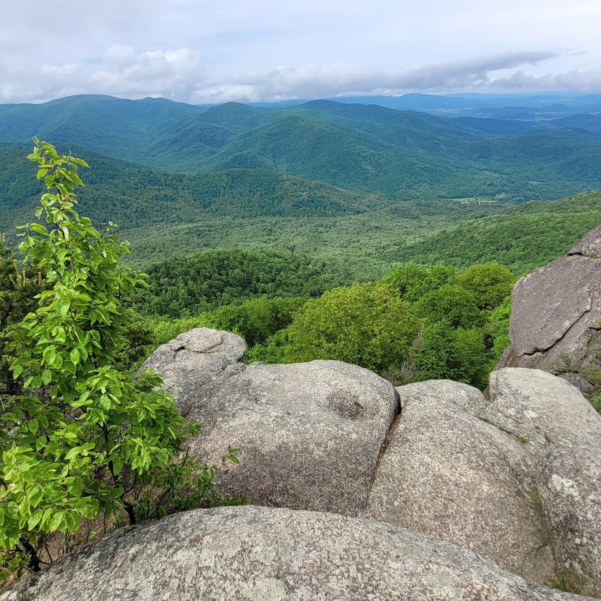
Collapsed quartzite rock forms Blackrock Summit. The rock is believed to be formed from the seabed of the Iapetus ocean, an ancient sea that disappeared more than 400 million years ago.
0
0

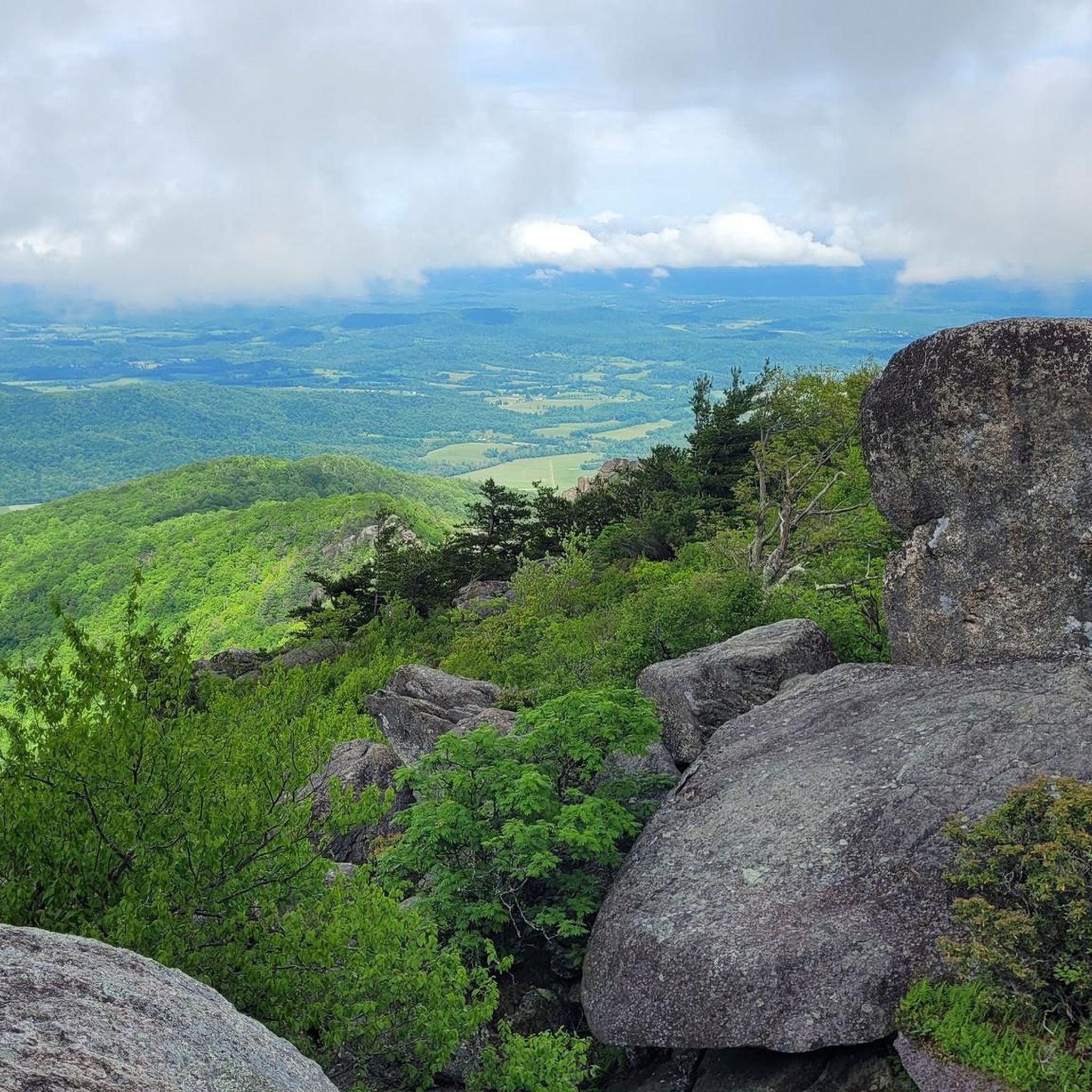
This rocky viewpoint overlooks the gorge carved by Overall Run, with a fantastic view of Shenandoah’s tallest waterfall. On clear days, you can see across the Shenandoah Valley all the way to Massanutten Mountain. It’s the kind of view that makes you stop and stay awhile, even if you hadn’t planned to.
0
0

The river is crossed over stones and tree trunks
0
0

Make sure to have a pass to enter the trail if you are going during “peak season” can be found on the national park service website. I underestimated the rock scramble. There were portions requiring us to be on our hands and knees, then full pull ups.
0
0

Hawksbill Summit in Shenandoah National Park offers stunning 360-degree views of the Shenandoah Valley, Blue Ridge Mountains, and Virginia Piedmont from its 4,050-foot elevation. As the park's highest point, it also marks the highest spot in Madison and Page counties. The north face drops 2,500 feet into Timber Hollow, the park’s largest elevation change. Hikers can also spot rare balsam fir trees at the summit. A stone observation platform, built by the National Park Service, enhances the experience's panoramic views.
1
0

1,000m high mountain popular with hikers due to the rocky peak and sweeping views.
0
0
Great trip, though hiking along the ridge can leave you exposed to strong winds during a storm. Fantastic view of the river and mountains, really well-maintained trails, and great visitors center if you need a restroom. Definitely recommend!
1
0
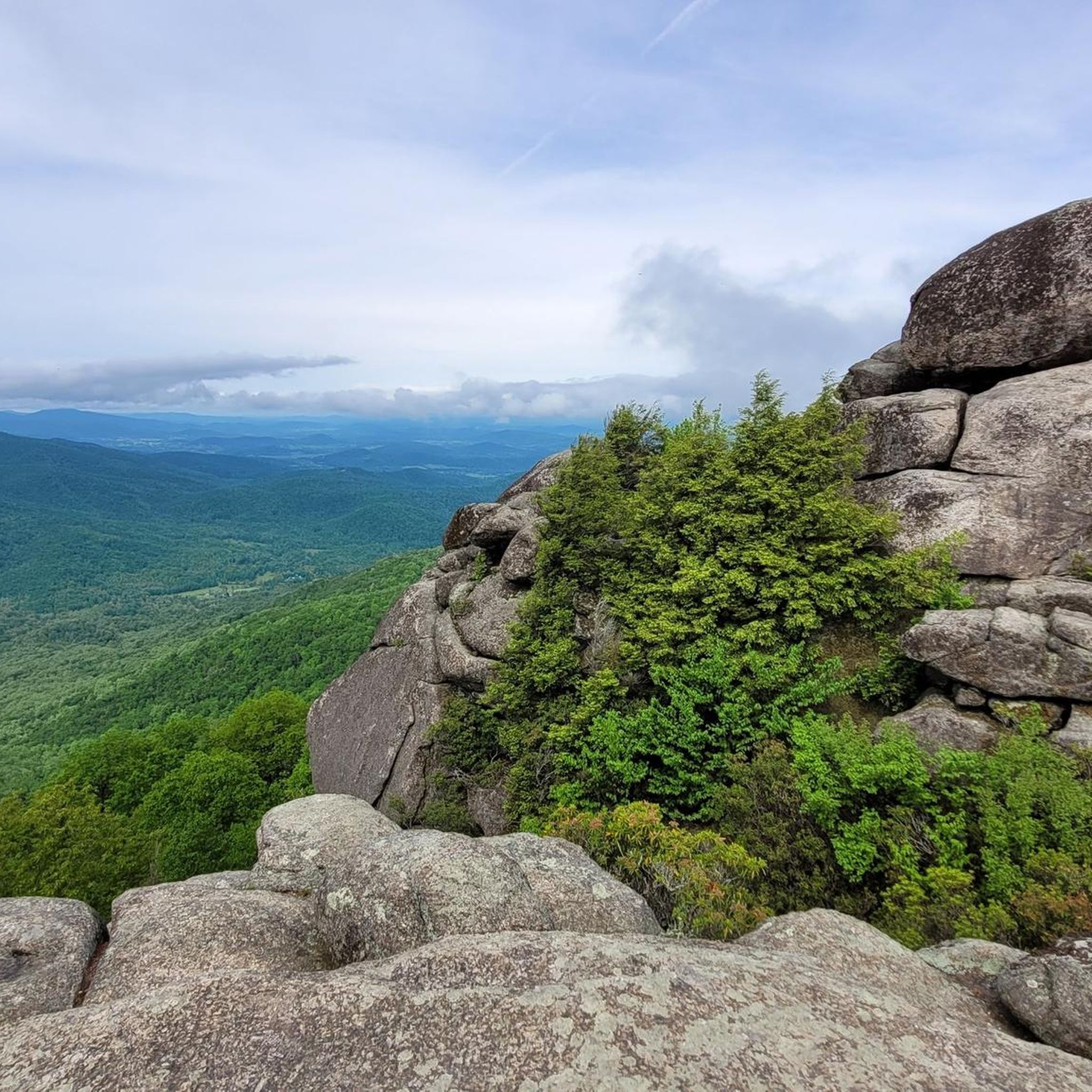
Most viewpoints are stunning, offering sweeping views of the mountain range and valley below. But there are a few viewpoints that are blocked by vegetation. Oddly enough, some of the best views are along the roadway where you can't stop.
1
0
Frequently Asked Questions
How many hiking trails are available in Shenandoah Wilderness?
There are over 220 hiking routes in Shenandoah Wilderness, offering a diverse range of experiences. These trails cater to various skill levels, from gentle walks to strenuous climbs.
What are the different difficulty levels for hiking trails in Shenandoah Wilderness?
The trails in Shenandoah Wilderness are categorized into easy, moderate, and difficult. You'll find approximately 49 easy routes, 120 moderate routes, and 60 difficult routes, ensuring options for every hiker's ability.
Are there hiking trails in Shenandoah Wilderness that feature waterfalls?
Yes, Shenandoah Wilderness is known for its numerous waterfalls. Trails like the Rose River Falls loop and the Jones Run Falls Trail loop are popular choices for experiencing these natural features. The Rose River Falls are a notable highlight.
What kind of natural features and landmarks can I expect to see on hikes in Shenandoah Wilderness?
Hikers can discover a variety of natural features, including mountain peaks, scenic overlooks, and unique rock formations. Notable landmarks include Old Rag Summit, Turk Mountain Summit, and Blackrock Summit. The Hanging Boulder is also a unique natural monument.
Are there any family-friendly hiking options in Shenandoah Wilderness?
Yes, there are several family-friendly trails. For an easier option, consider the Blackrock Summit loop, which is relatively short and offers rewarding views with minimal elevation gain, making it suitable for families with children.
What is the best time of year to go hiking in Shenandoah Wilderness?
The best time to hike in Shenandoah Wilderness is typically during spring and fall. Spring brings blooming wildflowers and pleasant temperatures, while fall offers spectacular foliage. Summer can be warm and humid, and winter hiking is possible but requires appropriate gear and caution due to potential ice and snow.
Are dogs allowed on hiking trails in Shenandoah Wilderness?
Yes, dogs are generally permitted on most trails in Shenandoah Wilderness, which is part of Shenandoah National Park. However, they must be kept on a leash no longer than 6 feet (1.8 meters) at all times. Always check specific trail regulations, as a few trails may have restrictions.
What do other hikers enjoy most about hiking in Shenandoah Wilderness?
The area is highly rated by the komoot community, with an average score of 4.7 stars from over 780 reviews. Reviewers often praise the stunning panoramic views from mountain summits, the beauty of the numerous waterfalls, and the peaceful immersion in the lush Blue Ridge Mountain forests.
Are there any circular hiking routes in Shenandoah Wilderness?
Yes, many trails in Shenandoah Wilderness are designed as loops, allowing you to experience diverse scenery without retracing your steps. Examples include the Rose River Falls loop and the Rocks Mountain loop via Riprap Trail.
What are the parking and permit requirements for hiking in Shenandoah Wilderness?
Shenandoah Wilderness is located within Shenandoah National Park, which requires an entrance fee. This fee covers access to Skyline Drive and all park facilities, including trailheads. Parking is available at various trailheads along Skyline Drive. No specific hiking permits are typically required for day hikes, but always check the official National Park Service website for the latest regulations, especially for backcountry camping.
Are there any challenging hikes with significant elevation gain in the region?
Absolutely. For experienced hikers seeking a challenge, routes like the Hawksbill Summit via White Oak Canyon Trail loop offer substantial elevation gain and rewarding panoramic views from the highest point in Shenandoah National Park.
Can I find places to eat or stay near Shenandoah Wilderness?
While Shenandoah Wilderness itself is a protected area, there are various lodging and dining options available within Shenandoah National Park along Skyline Drive, as well as in the nearby towns surrounding the park. These towns offer a range of accommodations from hotels to cabins, and restaurants serving local cuisine.
Most popular routes in Shenandoah Wilderness
Most popular attractions in Shenandoah Wilderness

Get inspired with the komoot mobile app


Explore more
Browse the best Hikes in other regions.
