The best road cycling routes around Fohren-Linden
4.6
(74)
951
riders
65
rides
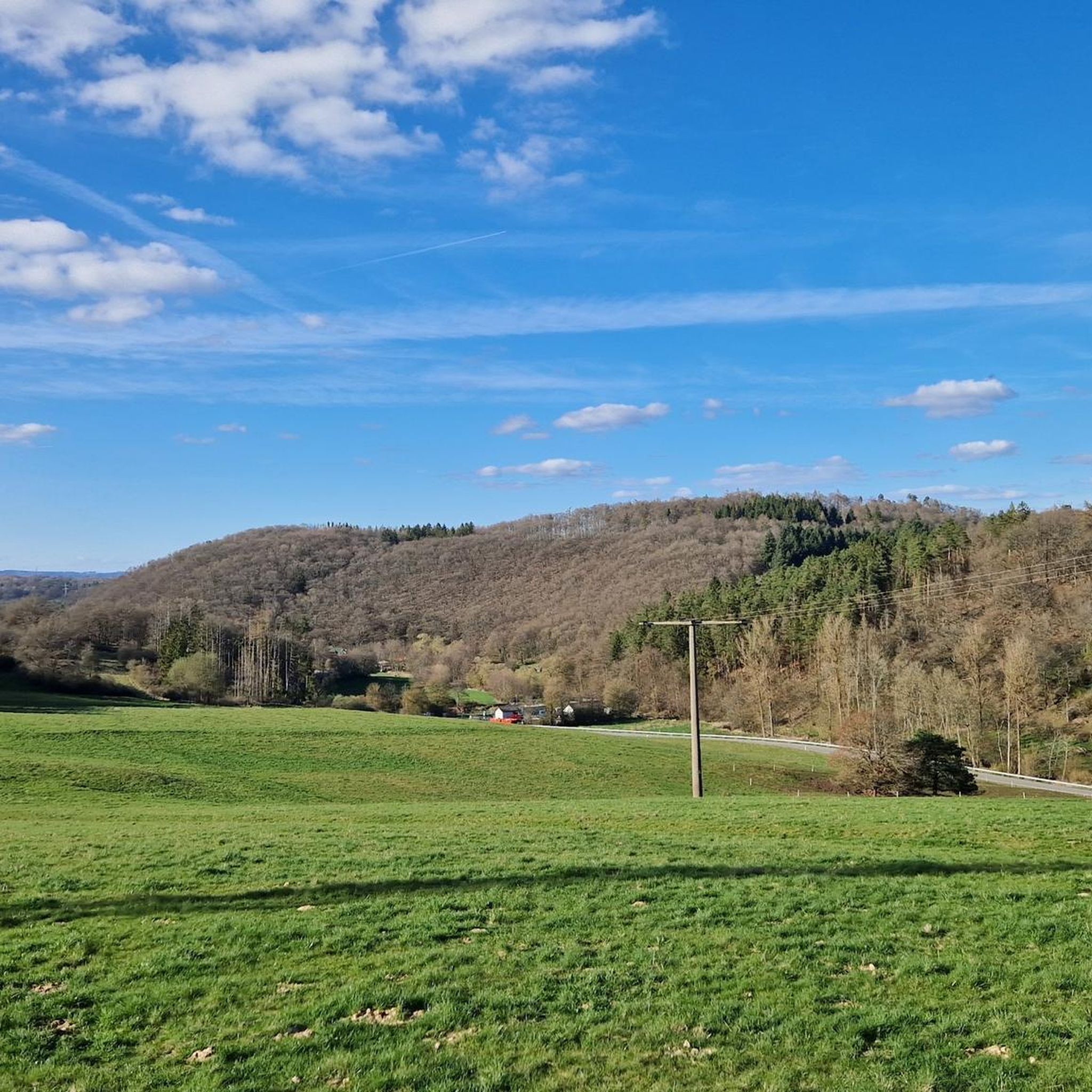
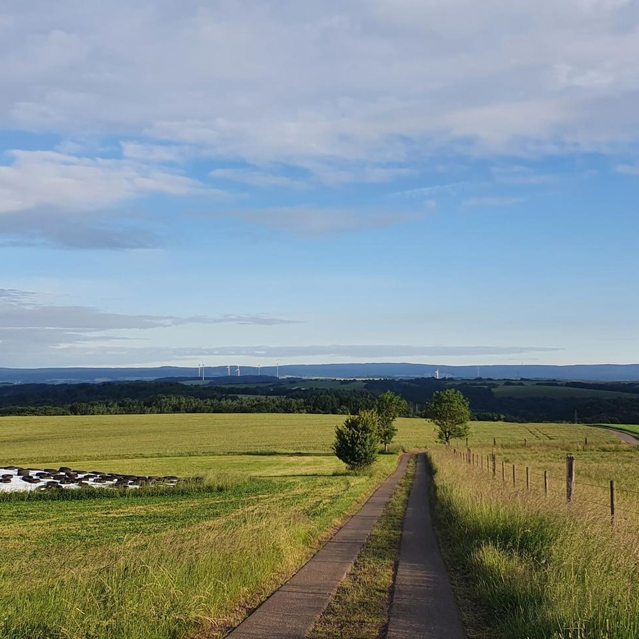
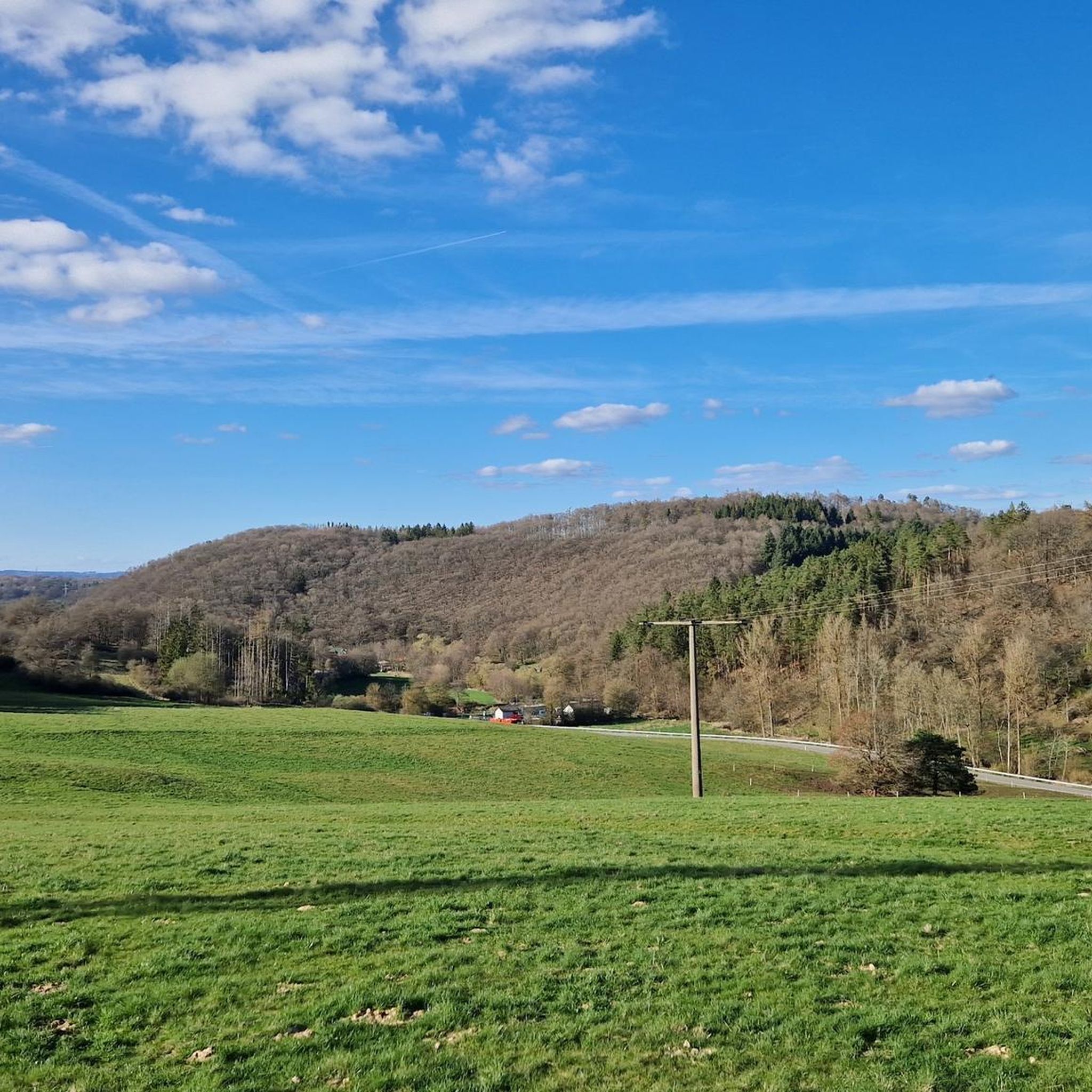
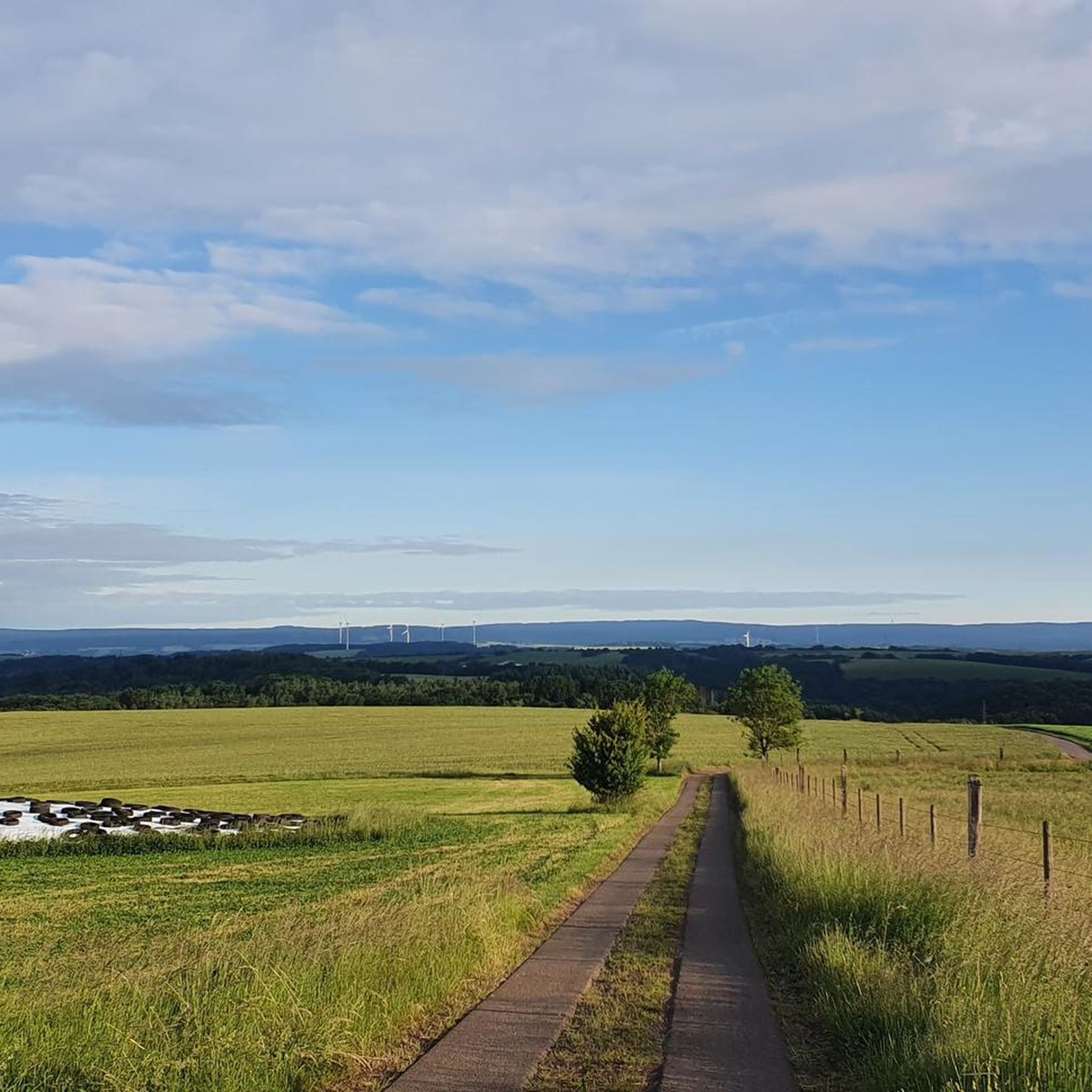
Road cycling around Fohren-Linden features a landscape characterized by rolling hills and varied terrain, offering routes that traverse rural areas, former railway lines, and historical landmarks. The region includes features such as ponds, viaducts, and castles, providing diverse scenery for road cyclists. Elevation changes are present across many routes, ranging from moderate climbs to more challenging ascents.
Best road cycling routes around Fohren-Linden
- The most popular road cycling route is Baumholder Pond – Breitsesterhof loop from Baumholder, an 18.1…
Last updated: August 29, 2026
4.5
(2)
163
riders
29.2km
01:25
380m
380m
Moderate road ride. Good fitness required. Mostly well-paved surfaces and easy to ride.
4.0
(1)
31
riders
Moderate road ride. Good fitness required. Some segments of this route may be unpaved and difficult to ride.

Sign up for free
22
riders
87.8km
04:39
1,530m
1,530m
Hard road ride. Very good fitness required. Some segments of this route may be unpaved and difficult to ride.
5.0
(1)
10
riders
Moderate road ride. Good fitness required. Some segments of this route may be unpaved and difficult to ride.
5
riders
50.1km
02:22
590m
590m
Moderate road ride. Good fitness required. Mostly well-paved surfaces and easy to ride.
Get access to more routes and recommendations from other explorers.
Sign up for free
Already have an account?
Our route recommendations are based on thousands of hikes, rides, and runs completed by other people on komoot.
Start today with a free account
Your next adventure awaits.
Login or Signup

Tips from the Community

You walk over the Nahe bridge in the direction of DRK and find the premium hiking trail Nohener-Nahe-Schleife. At the beginning there is a resting place.
1
1

OK, the Stelvio is unrivaled...but yes, the switchbacks are fine...
0
0

We passed through here on the third day of our Trier-Grünstadt tour. It's one of the most beautiful bike paths we've ever ridden.
1
0

The Türkismühle information point is a popular spot for cyclists and hikers in the St. Wendeler Land region. It is located near the former mill, dating back to 1747, and features information panels about its history. The surrounding area is ideal for hikes and bike rides through the picturesque landscape.
2
0

Beautiful swimming lake with kiosk, direct starting point for cycling tours and hiking along the Bärenbachpfad.
0
0

Very good asphalt, probably the best of all cycle paths in the region
0
0
Frequently Asked Questions
How many road cycling routes are available in the Fohren-Linden region?
The Fohren-Linden area offers a wide selection of road cycling routes, with over 70 tours available on komoot. These routes cater to various skill levels, including easy, moderate, and difficult options.
Are there easy road cycling routes suitable for beginners in Fohren-Linden?
Yes, Fohren-Linden has several easy road cycling routes perfect for beginners. There are 6 routes specifically graded as easy, often traversing rural landscapes with moderate elevation changes. For a relatively flat experience, consider routes that follow former rail trails.
What kind of terrain can I expect on road cycling routes around Fohren-Linden?
Road cycling in Fohren-Linden is characterized by rolling hills and varied terrain. You'll find routes that traverse rural areas, former railway lines, and include features like ponds, viaducts, and castles. Expect a mix of moderate climbs and some more challenging ascents, especially on longer routes.
Are there any family-friendly road cycling options in Fohren-Linden?
For families, routes that utilize former rail trails are often a good choice due to their generally flatter and more consistent surfaces. The Iron Bridge in Türkismühle – Sankt Wendeler Land Rail Trail loop from Baumholder, for instance, follows a rail trail and offers a moderate experience suitable for those looking for a less strenuous ride.
Where can I find more challenging road cycling routes in Fohren-Linden?
If you're looking for a challenge, Fohren-Linden offers 5 difficult-graded routes. A notable option is the Oberkirchen Viaduct – Lichtenberg Castle loop from Baumholder, which is 54.5 miles (87.8 km) long and features significant elevation changes, often taking around 4 hours 39 minutes to complete.
What are some scenic viewpoints or landmarks I can see along the road cycling routes?
The region offers several scenic spots and historical landmarks. You might encounter structures like the Oberkirchen Viaduct or Lichtenberg Castle. For natural beauty, consider routes passing by the Baumholder Pond. Additionally, the wider area features highlights such as the Nahekopf Plateau and Kaiserallee or the Weiselberg Summit and Steinerne Meer, which offer impressive views.
What do other road cyclists enjoy most about road cycling in Fohren-Linden?
The road cycling routes in Fohren-Linden are highly rated by the komoot community, with an average score of 4.6 stars from over 70 reviews. Cyclists often praise the varied terrain, the mix of rural landscapes, and the historical structures encountered along the way, such as viaducts and castles.
Are there any routes that follow former railway lines?
Yes, several routes in Fohren-Linden incorporate sections of former railway lines, which often provide smoother, flatter paths. The Iron Bridge in Türkismühle – Sankt Wendeler Land Rail Trail loop from Baumholder is a prime example, following a rail trail and crossing an iron bridge, offering a unique cycling experience.
What is the best season for road cycling in Fohren-Linden?
While specific conditions vary, the spring and autumn months generally offer pleasant temperatures and beautiful scenery for road cycling in Fohren-Linden. Summer can also be enjoyable, but it's always advisable to check local weather forecasts, especially for warmer days or potential rain, given the region's varied terrain.
Are there any loop routes available for road cycling?
Yes, many of the road cycling routes in Fohren-Linden are designed as loops, allowing you to start and finish at the same point. Examples include the Baumholder Pond – Breitsesterhof loop from Baumholder and the Oberkirchen Viaduct – Lichtenberg Castle loop from Baumholder, providing convenient round trips.
What are the typical distances and durations for road cycling routes in this region?
Routes in Fohren-Linden vary significantly in length and duration. You can find shorter rides like the Baumholder Pond – Breitsesterhof loop from Baumholder at 18.1 miles (29.2 km) taking about 1 hour 26 minutes, up to longer, more challenging tours such as the Oberkirchen Viaduct – Lichtenberg Castle loop from Baumholder, which is 54.5 miles (87.8 km) and can take over 4 hours.
Most popular attractions around Fohren-Linden

Get inspired with the komoot mobile app


Explore more
Browse the best Road cycling routes in other regions.
