The best walks and hikes around North Prairie
5.0
(8)
172
hikers
16
hikes
North Prairie Wisconsin popular hiking trails routes are primarily found within the Kettle Moraine State Forest – Southern Unit, a region shaped by glacial activity. The landscape features rolling glacial hills, kettle depressions, and diverse forests including pine, hardwood, and oak savannas. Hikers will also encounter prairie restoration sites and wetlands, offering varied ecological experiences.
Best hiking trails around North Prairie
- The most popular hiking route is Ice Age Trail: Scuppernong Segment, a 15.2 miles (24.4 km) trail that…
Last updated: May 16, 2026
5.0
(1)
31
hikers
3.97km
01:03
40m
40m
Embark on the Scuppernong Red Loop, an easy hike spanning 2.5 miles (4.0 km) with a gentle elevation gain of 119 feet (36 metres). You can expect to complete this…
4
hikers
4.15km
01:04
20m
20m
The Rainbow Springs Lake via Mukwonago River Trail offers an easy hiking experience through varied landscapes. You will wander through dense woodlands, open meadows, and along the clear waters of…

Sign up for free
4
hikers
24.4km
06:30
260m
250m
Hike the difficult 15.2-mile Ice Age Trail: Scuppernong Segment through glacial landscapes and mature forests in Kettle Moraine State Forest
3
hikers
12.7km
03:18
80m
60m
Hike the moderate 7.9-mile Ice Age Trail - Eagle Segment through glacial landscapes, prairies, and wetlands, featuring Brady's Rocks.
2.63km
00:41
20m
10m
The Fox River Park Loop offers an easy hike through a mix of open grassy areas, shaded woodlands, and wetlands. You'll find the tranquil Fox River as a constant, beautiful…
Get access to more routes and recommendations from other explorers.
Sign up for free
Already have an account?
Our route recommendations are based on thousands of hikes, rides, and runs completed by other people on komoot.
Start today with a free account
Your next adventure awaits.
Login or Signup
Popular around North Prairie

Tips from the Community

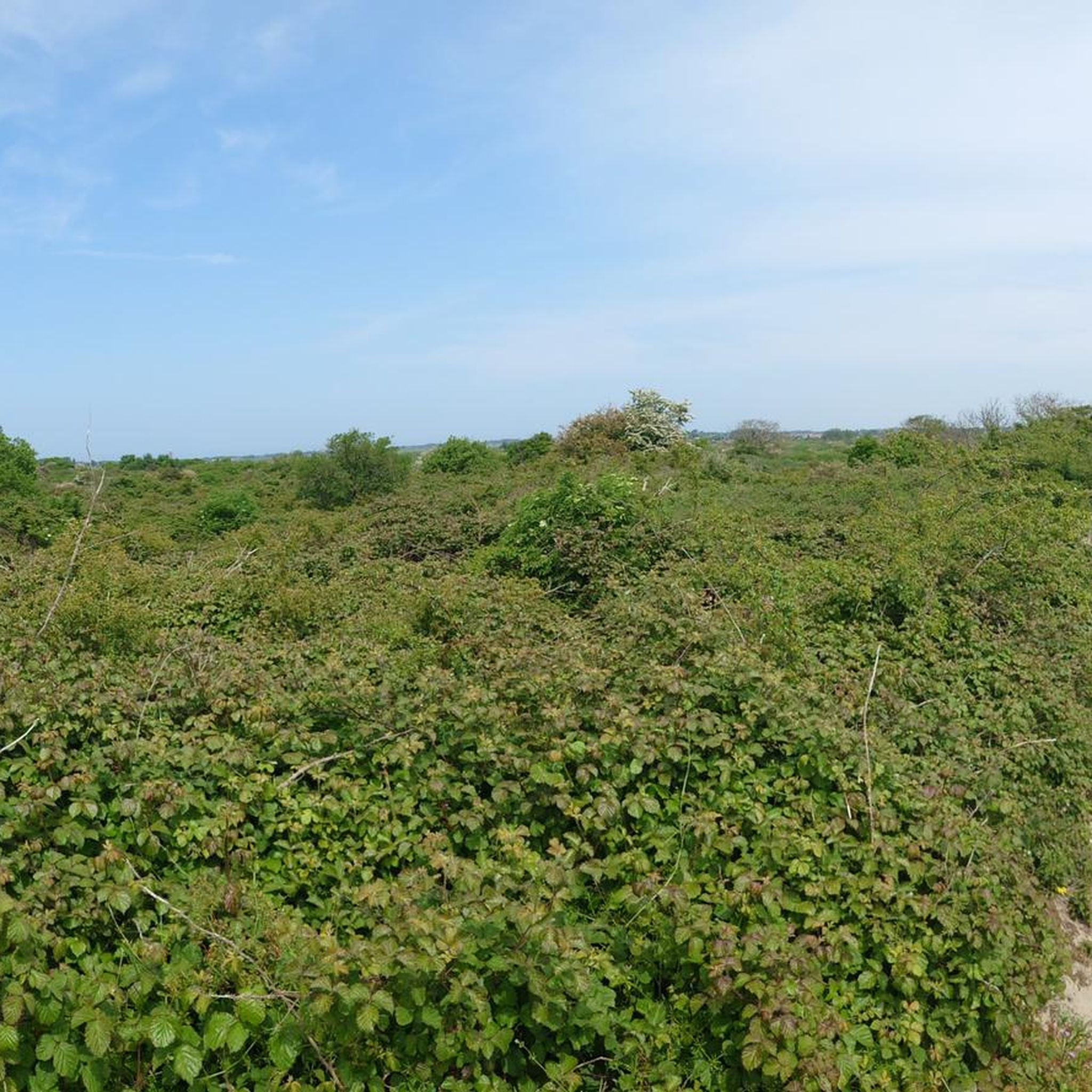
Take in a beautiful uplift of nature in this 257-acre park: You'll find wildflowers, mature forest and wetlands. Keep your eye out for wildlife, too.
0
0
Frequently Asked Questions
How many hiking trails are available around North Prairie?
There are over 15 hiking trails documented on komoot around North Prairie, offering a variety of experiences. These routes primarily explore the unique glacial landscapes of the Kettle Moraine State Forest – Southern Unit.
What kind of terrain can I expect on hikes near North Prairie?
The terrain around North Prairie is characterized by rolling glacial hills and 'kettle' depressions, remnants of ancient ice sheets. You'll find diverse forests, including pine, hardwood, and oak savannas, alongside prairie restoration sites and wetlands. This varied landscape provides both challenging ascents and gentle slopes.
Are there any easy hiking trails suitable for beginners or short walks?
Yes, there are several easy trails. For a pleasant, shorter walk, consider the Scuppernong Red Loop, which is about 2.5 miles (4 km) and takes just over an hour to complete through diverse forest landscapes. Another easy option is the Rainbow Springs Lake via Mukwonago River Trail, a 2.6-mile (4.15 km) path.
What are some notable natural features or landmarks to look for while hiking?
The region is rich in glacial features. You can explore the unique topography shaped by ice sheets, including glacial hills and kettle depressions. For panoramic views, consider visiting the Lapham Peak Observation Tower, located in the nearby Lapham Peak Unit of the Kettle Moraine State Forest. The View of Kettle Moraine State Forest also offers stunning vistas.
Is the Ice Age National Scenic Trail accessible from North Prairie?
Yes, a significant portion of the Ice Age National Scenic Trail, approximately 30 miles, traverses the Kettle Moraine State Forest – Southern Unit, which is very close to North Prairie. You can explore segments like the difficult Ice Age Trail: Scuppernong Segment or the moderate Ice Age Trail - Eagle Segment.
What do other hikers say about the trails in North Prairie?
The trails around North Prairie are highly regarded by the komoot community, with an average rating of 5.0 stars from over 7 reviews. Hikers often praise the diverse landscapes, the well-preserved glacial features, and the variety of trail options available within the Kettle Moraine State Forest.
Are there any trails suitable for families with children?
Yes, many of the easier trails are suitable for families. The shorter, self-guided nature trails within the Kettle Moraine State Forest, such as the Bald Bluff Nature Trail & Scenic Outlook or the Scuppernong Springs Nature Trail, offer engaging opportunities for children to learn about local ecology in a manageable distance.
Can I bring my dog on the hiking trails near North Prairie?
Many trails within the Kettle Moraine State Forest – Southern Unit are dog-friendly, but it's always best to check specific trail regulations before you go. Generally, dogs are welcome on a leash on most hiking trails, but may be restricted in certain areas or on specific nature trails. For detailed information on pet policies, you can visit the Wisconsin DNR website for the Kettle Moraine State Forest – Southern Unit: dnr.wisconsin.gov/topic/parks/kms.
What is the best time of year to go hiking in North Prairie?
The region offers beauty throughout the seasons. Spring brings wildflowers and lush greenery, while autumn showcases vibrant fall foliage. Summer is popular for longer hikes, and winter offers opportunities for snowshoeing or cross-country skiing on designated trails. Each season provides a unique experience of the diverse forests, prairies, and wetlands.
Are there any circular routes available for hiking?
Yes, many trails in the Kettle Moraine State Forest – Southern Unit are designed as loops. For example, the Scuppernong Red Loop is an easy circular route that takes you through diverse forest landscapes. The Pinewoods Campground Loop, mentioned in regional research, is also a moderate 5.4-mile loop option.
Where can I find parking for the hiking trails?
Most trailheads within the Kettle Moraine State Forest – Southern Unit have designated parking areas. Specific parking information can often be found on detailed trail maps or by checking the Wisconsin DNR website for the Kettle Moraine State Forest – Southern Unit, which provides visitor information and facility details.
Are there any trails that offer views of water bodies?
Yes, some trails provide views of lakes and wetlands. The Rainbow Springs Lake via Mukwonago River Trail, for instance, leads you towards Rainbow Springs Lake and along the Mukwonago River, offering scenic water views.
Most popular routes around North Prairie
Most popular attractions around North Prairie

Get inspired with the komoot mobile app


Explore more
Browse the best Hikes in other regions.
