The best road cycling routes around South Milwaukee
5.0
(12)
429
riders
18
rides
Road cycling routes around South Milwaukee are characterized by their proximity to the Lake Michigan shoreline and integration into the Milwaukee County Parks system. The terrain primarily features paved pathways, with routes often following the extensive Oak Leaf Trail. This area provides diverse cycling options, from flat, leisurely rides along the coast to routes with moderate elevation changes.
Best road cycling routes around South Milwaukee
- The most popular road cycling route is Grant Park Beach – Oak Leaf Trail —…
Last updated: August 26, 2026
5.0
(1)
69
riders
Easy road ride. Great for any fitness level. Mostly well-paved surfaces and easy to ride.
44
riders
Moderate road ride. Good fitness required. Mostly well-paved surfaces and easy to ride.

Sign up for free
5.0
(4)
42
riders
44.9km
01:57
190m
190m
Easy road ride. Great for any fitness level. Mostly well-paved surfaces and easy to ride.
17
riders
65.1km
02:57
190m
190m
Moderate road ride. Good fitness required. Mostly well-paved surfaces and easy to ride.
10
riders
32.0km
01:20
140m
140m
Easy road ride. Great for any fitness level. Mostly well-paved surfaces and easy to ride.
Get access to more routes and recommendations from other explorers.
Sign up for free
Already have an account?
Our route recommendations are based on thousands of hikes, rides, and runs completed by other people on komoot.
Start today with a free account
Your next adventure awaits.
Login or Signup
Popular around South Milwaukee

Tips from the Community

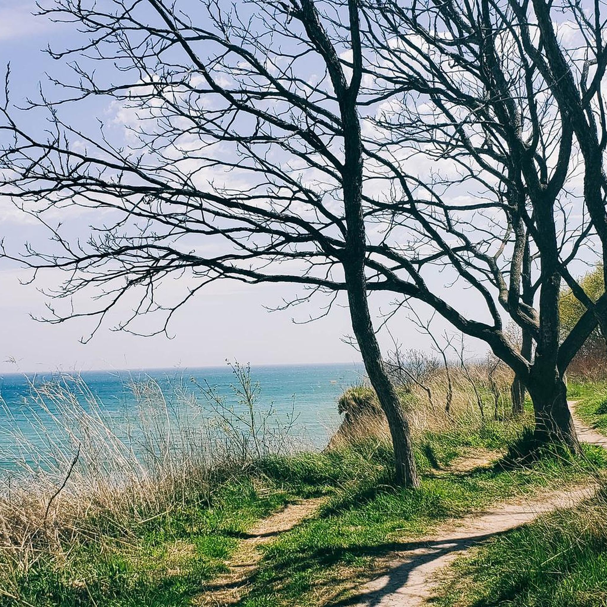
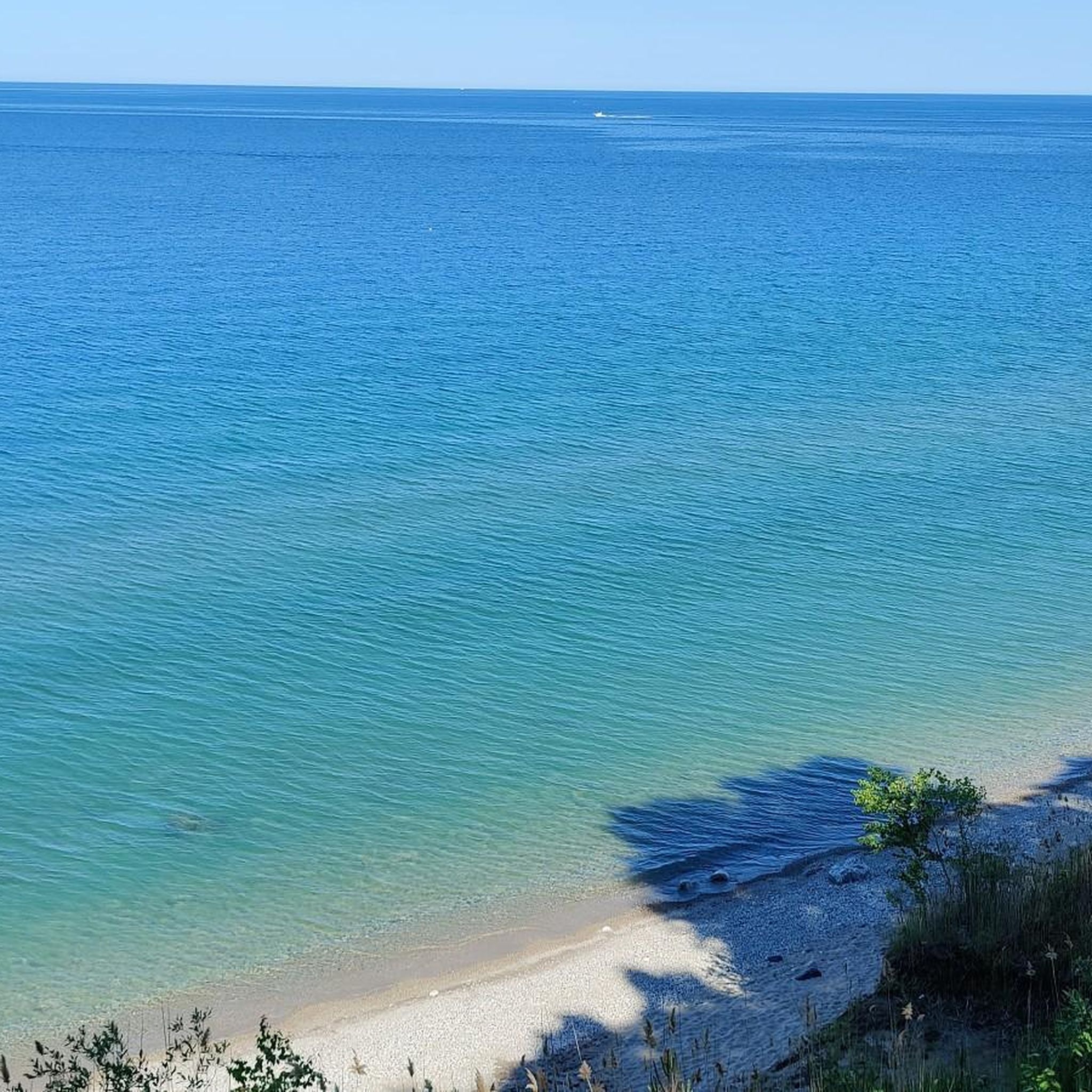
The cobalt blue background of Lake Michigan provides a nice backdrop and gives the impression of bing in some places tropical during the summer months. The combination of Grant Park Beach along with Oak Leaf Trail offers a multitude of outdoor activities.
0
0
Oak Leaf Trail runs along the Milwaukee Lake Michigan Coast providing magnificent views of Lake Michigan and the Milwaukee Skyline. The paths themselves are on itself is a bit bumpy in some places due to roots pushing up the asphalt. The parc is a nicely shaded place, giving a bit of relief from the hot summer sun. The entire path from beginning to end is asphalted and is much smoother than the street running parallel to the cycleway. If one is here just to enjoy the sights, the cycleway is a good choice, if one wishes to make a lot of time, I suggest staying on the road which has very, very little traffic, I would in any event recommend tyres> 28mm width.
0
0

Riding down South Shore Drive is a great way to take in the beautiful views of Downtown Milwaukee and the lake. There's a park and a number of restaurants and cafes to stop at if you'd like to stay a while.
0
0

As you cycle by Highland Memorial Park on the New Berlin Recreation Trail, you'll notice a peaceful and serene environment. This section of the trail offers a refreshing change with well-maintained grass and lush green trees, providing a picturesque backdrop to your ride. The tranquil atmosphere makes it a perfect spot to slow down and enjoy the scenery.
0
0
The New Berlin Recreation Trail is a 7-mile paved path running east-west from New Berlin to Waukesha in the Milwaukee suburbs. Although it lacks trestles and tunnels, it’s popular among commuters for its convenience and speed, following power lines. Starting at Lincoln St., the trail heads east with a 3-mile stretch free of street crossings. It runs parallel to an active railroad, maintaining a safe distance. Highlights include a bike shop and cafes at Calhoun St., restrooms at Buena Park, and the scenic Gatewood Park further along.
0
0

A beautiful path with expansive views of Lake Michigan. A perfect path to cycle on, on a still summers day.
0
0
A great little pond to make a rest stop along your bike ride on the Oak Leaf trail There are usually people fishing on the shore to take a look at.
0
0

The Abandoned Ladish Sand Pit is often filled in with water and right off of the Oak Creek Trail. Oak Creek runs right behind it, making this spot a nice area to keep an eye out for birds and other wildlife.
0
0
Frequently Asked Questions
What kind of terrain can I expect on road cycling routes in South Milwaukee?
Road cycling routes in South Milwaukee primarily feature paved pathways, often following the extensive Oak Leaf Trail. The terrain is generally flat along the Lake Michigan shoreline, with some routes offering moderate elevation changes as they connect through various parks and bluffs. You can expect diverse options, from leisurely coastal rides to more challenging routes.
How many road cycling routes are available in South Milwaukee?
There are over 20 road cycling routes available around South Milwaukee. The komoot community has mapped 15 easy routes, 7 moderate routes, and 1 difficult route, catering to a wide range of cycling abilities.
Are there road cycling routes suitable for beginners or more experienced cyclists?
Yes, South Milwaukee offers routes for all skill levels. Beginners can enjoy easy, flat rides along the Lake Michigan shoreline, often utilizing the Oak Leaf Trail. More experienced cyclists can find moderate routes that include longer distances and some elevation changes, such as the Grant Park Beach – Oak Leaf Trail — Shore line loop from Milwaukee Airport, which covers over 50 miles.
What scenic views or natural features can I expect on road cycling routes in South Milwaukee?
Many road cycling routes in South Milwaukee offer stunning views of the Lake Michigan shoreline. You'll ride through the picturesque Milwaukee County Parks system, including the expansive Grant Park. The routes often follow the 'String of Pearls' parks, providing continuous scenic beauty along the bluffs. Highlights include Grant Park Beach and the South Milwaukee Lagoon.
Are there any specific landmarks or points of interest along the road cycling routes?
Absolutely. Cyclists can pass by significant landmarks such as Grant Park Beach, a popular starting point for many routes. You might also catch a View of Downtown Milwaukee from South Shore Drive, offering a unique urban panorama amidst natural beauty. The routes are integrated into the Milwaukee County Parks system, providing access to various park amenities.
What is the best time of year for road cycling in South Milwaukee?
The best time for road cycling in South Milwaukee is typically from spring through fall, when the weather is mild and the Lake Michigan shoreline offers refreshing breezes. Summer provides warm conditions perfect for enjoying the beach and park amenities, while spring and fall offer cooler temperatures and beautiful foliage.
Is parking available near the road cycling routes in South Milwaukee?
Yes, parking is generally available at various points along the road cycling routes, especially within the Milwaukee County Parks system. Grant Park, for instance, offers parking facilities, making it a convenient starting or ending point for many rides.
How long is the Oak Leaf Trail for biking in South Milwaukee?
The Oak Leaf Trail is central to road cycling in South Milwaukee. Its 'South Shore Line' tracks the Lake Michigan shoreline, and its southern portion directly begins in Grant Park. The trail is part of a larger network boasting over 135 miles of multi-use trails throughout Milwaukee County, offering extensive options for cyclists.
What do other road cyclists enjoy most about cycling in South Milwaukee?
The road cycling experience in South Milwaukee is highly rated by the komoot community, with an average score of 5.0 stars. Cyclists frequently praise the picturesque Lake Michigan shoreline views, the well-maintained paved pathways of the Oak Leaf Trail, and the seamless connections through the 'String of Pearls' parks. The diverse options for various ability levels are also a highlight.
Are the road cycling routes in South Milwaukee family-friendly?
Many of the road cycling routes in South Milwaukee are very family-friendly, particularly those along the paved Oak Leaf Trail. These multi-use trails offer a safe and enjoyable environment for cyclists of all ages. Grant Park, a key feature along many routes, also provides playgrounds and picnic areas, perfect for family outings.
Can I find loop road cycling routes in South Milwaukee?
Yes, loop routes are a prominent feature of road cycling in South Milwaukee. Many popular routes, such as the Grant Park Beach – Oak Leaf Trail — Shore line loop from Packard & Birchwood and the Grant Park Beach – Oak Leaf Trail — Shore line loop from Oak Creek, are designed as loops, allowing you to start and end at the same point while enjoying diverse scenery.
Are there any long-distance road cycling routes in the South Milwaukee area?
For those seeking longer rides, South Milwaukee offers several extensive routes. The Grant Park Beach – Oak Leaf Trail — Shore line loop from Milwaukee Airport, for example, is a moderate 50.3-mile path providing extensive shoreline views and access to the Oak Leaf Trail. Another option is the Hoyt Park Footbridge – Lincoln Park loop from Milwaukee Airport, which stretches over 66 miles.
Most popular attractions around South Milwaukee

Get inspired with the komoot mobile app


Explore more
Browse the best Road cycling routes in other regions.
