The best road cycling routes around Menasha
4.7
(14)
91
riders
20
rides
Road cycling routes around Menasha, Wisconsin, are characterized by extensive paved trail networks and scenic waterfronts. The region is situated between Lake Winnebago and Little Lake Butte des Morts, with the Fox River flowing through, offering mostly flat to gently rolling terrain. Menasha is a central part of the Fox Cities trail system, providing numerous connections for road cyclists. The landscape features a mix of urban areas, wetlands, and lake views, with minimal elevation changes.
Best road cycling routes around…
Last updated: July 2, 2026
6
riders
19.1km
00:51
70m
70m
Easy road ride. Great for any fitness level. Mostly well-paved surfaces and easy to ride.
4
riders
28.1km
01:18
120m
120m
Easy road ride. Great for any fitness level. Mostly well-paved surfaces and easy to ride.

Sign up for free
4.0
(1)
10
riders
38.7km
01:38
140m
140m
Easy road ride. Great for any fitness level. Mostly well-paved surfaces and easy to ride.
5.0
(1)
12
riders
43.1km
01:52
200m
200m
Easy road ride. Great for any fitness level. Mostly well-paved surfaces and easy to ride.
4.7
(3)
13
riders
31.1km
01:23
130m
130m
Easy road ride. Great for any fitness level. Mostly well-paved surfaces and easy to ride.
Get access to more routes and recommendations from other explorers.
Sign up for free
Already have an account?
Our route recommendations are based on thousands of hikes, rides, and runs completed by other people on komoot.
Start today with a free account
Your next adventure awaits.
Login or Signup
Popular around Menasha


Tips from the Community


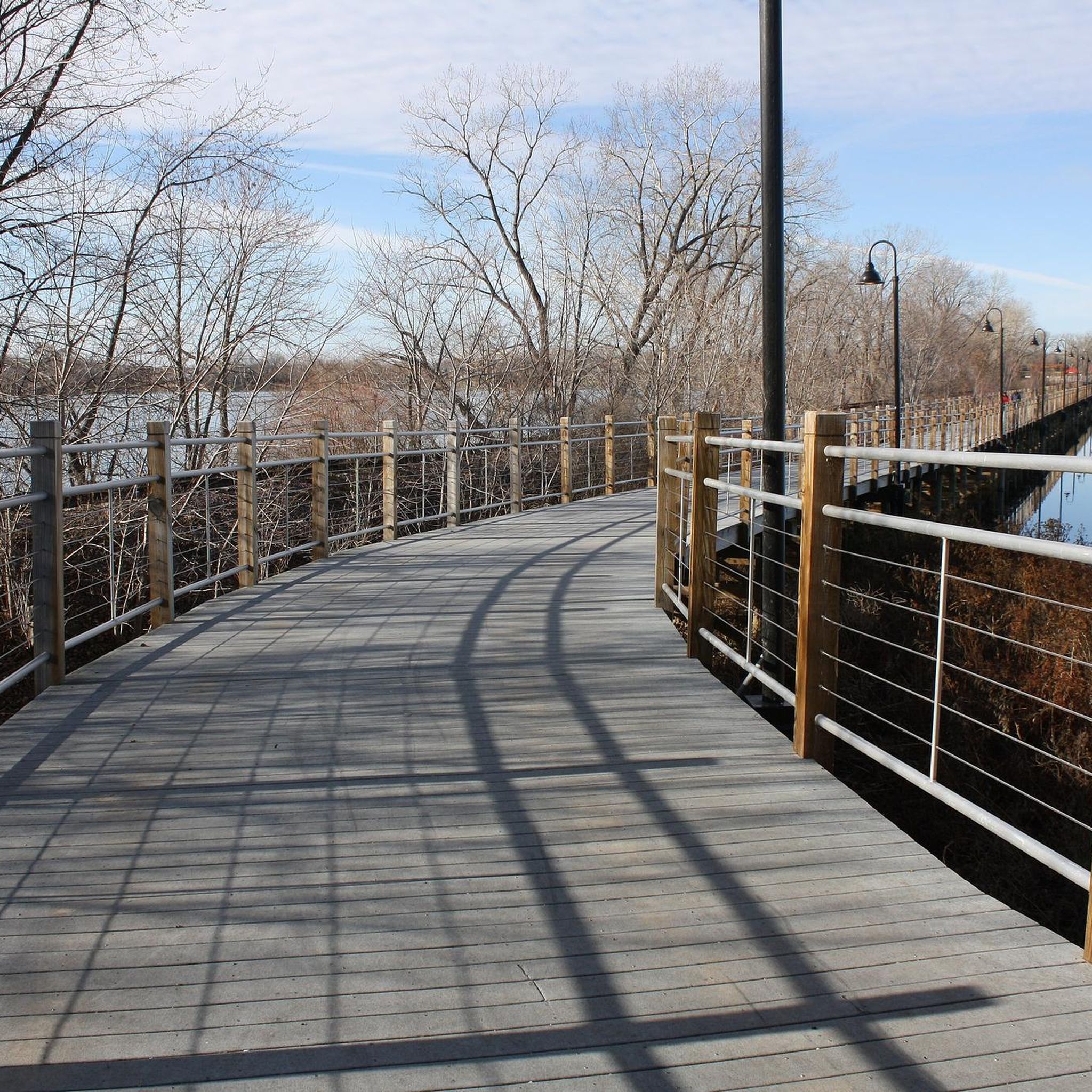
The crossing was finished in 2021, and is open to foot and bicycle traffic over the Fox River. There is a little platform at the halfway mark from which you can pull off the main path and enjoy the views.
0
0
A simple repair station by the water with a mount and pump. Great scenery, nice place to have a breakdown.
0
0

In the pre-statehood era of Wisconsin, the Fox River was important to native tribes, travelers, and fur traders. Since 1760, a trading post has stood here. Charles A. Grignon built this home in 1837. Charles was an interpreter for the U.S. government during the Treaty of the Cedars. Today, the mansion can be seen from the street, can be entered for under 10 dollars, or a private tour can be taken.
0
0
The Little Chute Windmill is a tribute to the Dutch heritage in the area. This functioning windmill site also offers the Van Asten Visitor Center and interpretive center in Little Chute. The building can be viewed from the street at any time, but the hours to visit the inside area are: Sunday, Monday, and Tuesday are closed. Wednesday, Thursday, Friday, and Saturday: 12:30 p.m.–4 p.m.
0
0
This swing bridge is the last large through-truss bridge on the Fox River. It was constructed in 1929 on concrete and stone and is still in use today.
0
0
The Fox River Paper Company Mills are also referred to as the Fox River Paper Company Historic District. Check out the Romanesque-styled Ravine/Rag Mills, the Italianate-styled flour Lincoln Mill, and the Italianate-styled Fox River Mill. Today, the buildings built from 1883 to 1915 are used as apartments, a hydroelectric canal, and a privately owned generating station.
0
0

Frequently Asked Questions
How many road cycling routes are available around Menasha?
Menasha offers a wide selection of road cycling routes, with over 20 routes available on komoot. These routes cater to various preferences, from shorter loops to longer excursions.
What is the typical terrain and difficulty level for road cycling in Menasha?
Road cycling routes around Menasha are generally characterized by mostly flat to gently rolling terrain, making them accessible for a wide range of cyclists. The majority of routes, 16 out of 21, are rated as easy, with 5 routes considered moderate. This makes the area suitable for both casual rides and more extended tours.
What scenic views or landmarks can I expect to see on road cycling routes in Menasha?
Menasha's road cycling routes offer diverse scenery, including picturesque waterfront views of Lake Winnebago and Little Lake Butte des Morts, and stretches along the Fox River. You can also experience the unique Friendship State Trail, which includes the iconic Fox Cities Trestle bridge over Little Lake Butte des Morts. Other notable sights include the Little Chute Windmill and the nearby High Cliff State Park, which offers panoramic views from the Niagara Escarpment.
Are there many loop road cycling routes in Menasha?
Yes, Menasha features several excellent loop routes for road cyclists. A popular option is the Little Chute loop, an 11.9-mile trail. Another favorite is the Kaukauna loop, which spans 17.5 miles and often follows the Fox River. The region also boasts the 3.5-mile 'Loop the Little Lake' which connects Menasha with Fox Crossing and Neenah, incorporating off-road trails and trestle bridges.
Are there family-friendly road cycling options in Menasha?
Absolutely. Menasha is recognized as a Silver-Level Bicycle Friendly Community, offering an extensive network of paved off-road trails and on-street routes suitable for families. Many routes are rated as easy, such as the Little Chute loop, providing safe and enjoyable experiences for all ages. The 'Loop the Little Lake' is another excellent family-friendly option, with its paved surface and access to parks.
Where can I find parking or access points for road cycling routes in Menasha?
Access to Menasha's road cycling network is convenient, with many trails connecting directly to urban areas and parks. Jefferson Park, located along the Lake Winnebago waterfront, offers amenities and direct access to trails. Downtown Menasha is also well-connected to the trail system, providing a central starting point with parking options.
What is the best time of year for road cycling in Menasha?
The best time for road cycling in Menasha is typically from spring through fall, when the weather is mild and the trails are clear. During these seasons, you can fully enjoy the scenic lakefronts, river views, and lush natural areas like the Heckrodt Wetland Reserve. Winter conditions can bring snow and ice, making some routes less suitable for road biking.
Are there cafes or places to stop for refreshments along the road cycling routes?
Yes, many of Menasha's road cycling routes connect directly to downtown areas, offering opportunities to stop for refreshments. Downtown Menasha itself provides a variety of dining options and local establishments. Additionally, parks like Jefferson Park, accessible from the trails, often have amenities available.
What do other road cyclists enjoy the most about road cycling in Menasha?
The road cycling experience in Menasha is highly rated by the komoot community, with an average score of 4.7 stars from over 15 reviews. Cyclists frequently praise the extensive and well-maintained trail networks, the picturesque lakefront views, and the diverse scenery that includes urban areas, wetlands, and river paths. The accessibility and variety of easy to moderate routes are also often highlighted.
Can I cycle to High Cliff State Park from Menasha?
Yes, you can cycle towards High Cliff State Park. A popular route is the Guyette's – High Cliff State Park loop from Darboy, a 24.1-mile trail that takes about 1 hour 38 minutes to complete. While the park itself is known for hiking and mountain biking, road cyclists can utilize its internal roads and enjoy the panoramic views of Lake Winnebago from the Niagara Escarpment.
What is the Fox Cities Trail Network and how does Menasha fit into it?
The Fox Cities Trail Network is an extensive system of over 100 miles of paved off-road trails, sidewalks, and on-street routes connecting various communities. Menasha serves as a central hub within this network, providing crucial links to trails like the Friendship State Trail and the Fox Cities Trestle. This integration allows road cyclists to explore a wide area with diverse recreational opportunities.
Are there any routes that offer a longer road cycling experience?
For those seeking a longer ride, the Little Chute Windmill – Fox River loop from Kimberly is an excellent choice. This route covers approximately 26.8 miles (43.1 km) and typically takes around 1 hour 52 minutes to complete, offering an extended journey through the local area.
Most popular routes around Menasha
Most popular attractions around Menasha

Get inspired with the komoot mobile app


Explore more
Browse the best Road cycling routes in other regions.
