The best road cycling routes around Bayerisch Gmain
4.6
(334)
9,028
riders
13
rides
Road cycling around Bayerisch Gmain offers routes through Alpine landscapes in the Berchtesgadener Land district. The region is characterized by forested mountains, valleys, and meadows, with the Untersberg mountain providing a prominent backdrop. Paved surfaces are common, making the area suitable for road cyclists. Elevations are present, with routes often featuring significant climbs and descents.
Best road cycling routes around Bayerisch Gmain
- The most popular road cycling route is The Sleeping Witch – View of the Watzmann Massif loop from Bayerisch Gmain, a 21.4 miles (34.5 km) trail that takes 1 hour 36 minutes to complete. This moderate route offers views of the Watzmann Massif and passes the Sleeping Witch landmark.
- Another top favourite among local road cyclists is Glanegg Castle – View of the Untersberg loop from Bayerisch Gmain, a moderate 26.1 miles (42.0 km) path. This route provides views of the Untersberg mountain and passes Glanegg Castle.
- Local road cyclists also love the Pilgrimage Church of Großgmain – Walserfeld Battle Memorial loop from Bayerisch Gmain, a 20.7 miles (33.3 km) trail leading through varied terrain, often completed in about 1 hour 25 minutes.
- Road cycling around Bayerisch Gmain is defined by Alpine landscapes, dense forests, and mountain panoramas. The network offers options for easy, moderate, and difficult routes, catering to different ability levels.
- The routes in Bayerisch Gmain are highly rated by the komoot community with an average score of 4.8 stars from more than 40 reviews. More than 800 road cyclists have used komoot to explore Bayerisch Gmain's varied terrain.
Last updated: July 6, 2026
4.1
(22)
292
riders
Moderate road ride. Good fitness required. Mostly well-paved surfaces and easy to ride.
4.4
(9)
217
riders
42.2km
01:57
390m
390m
Moderate road ride. Good fitness required. Some segments of this route may be unpaved and difficult to ride.

Sign up for free
4.5
(2)
76
riders
Easy road ride. Great for any fitness level. Mostly well-paved surfaces and easy to ride.
5.0
(2)
67
riders
85.1km
04:24
1,370m
1,370m
Hard road ride. Very good fitness required. Mostly well-paved surfaces and easy to ride.
5.0
(1)
62
riders
Easy road ride. Great for any fitness level. Mostly well-paved surfaces and easy to ride.
Get access to more routes and recommendations from other explorers.
Sign up for free
Already have an account?
Our route recommendations are based on thousands of hikes, rides, and runs completed by other people on komoot.
Start today with a free account
Your next adventure awaits.
Login or Signup
Popular around Bayerisch Gmain
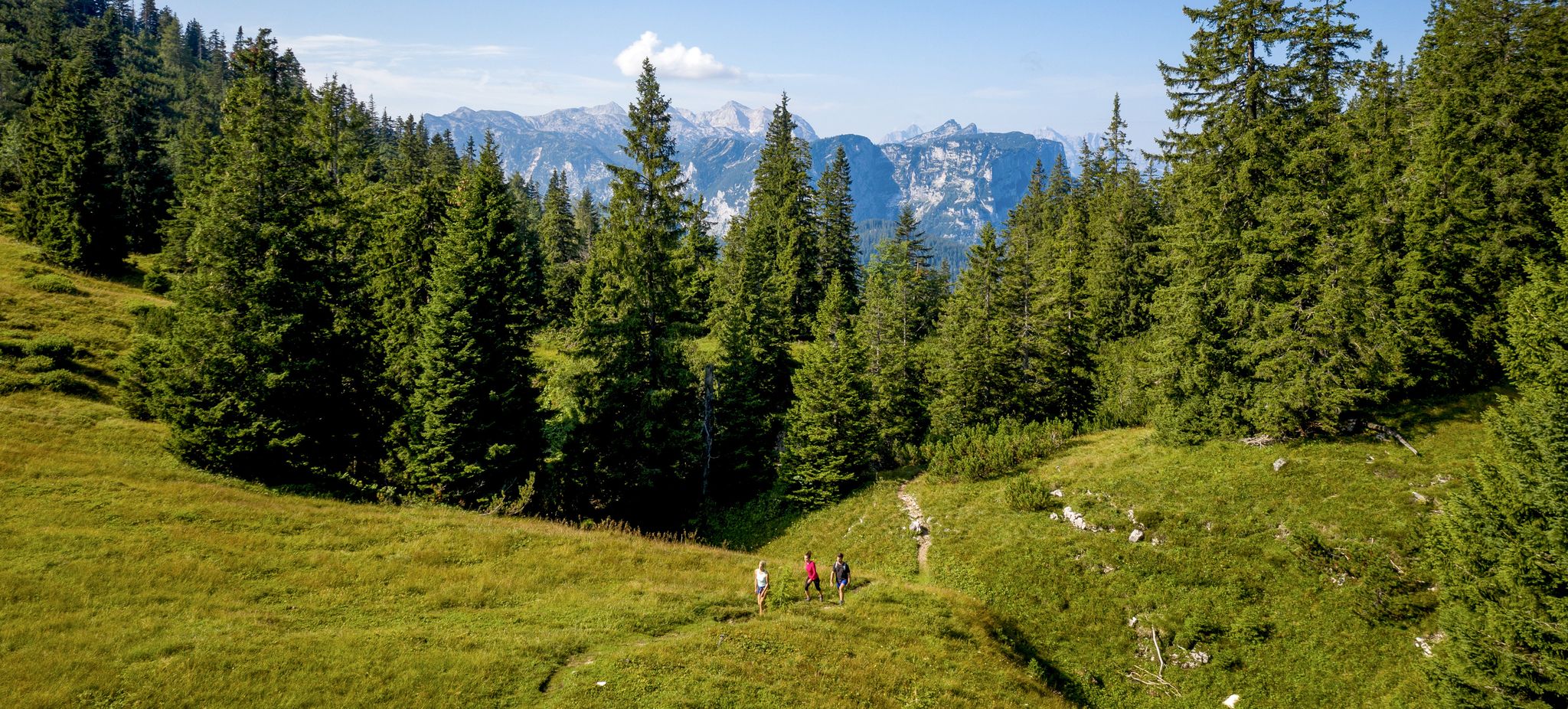
Hike, scramble and relax – outdoors in Bad Reichenhall
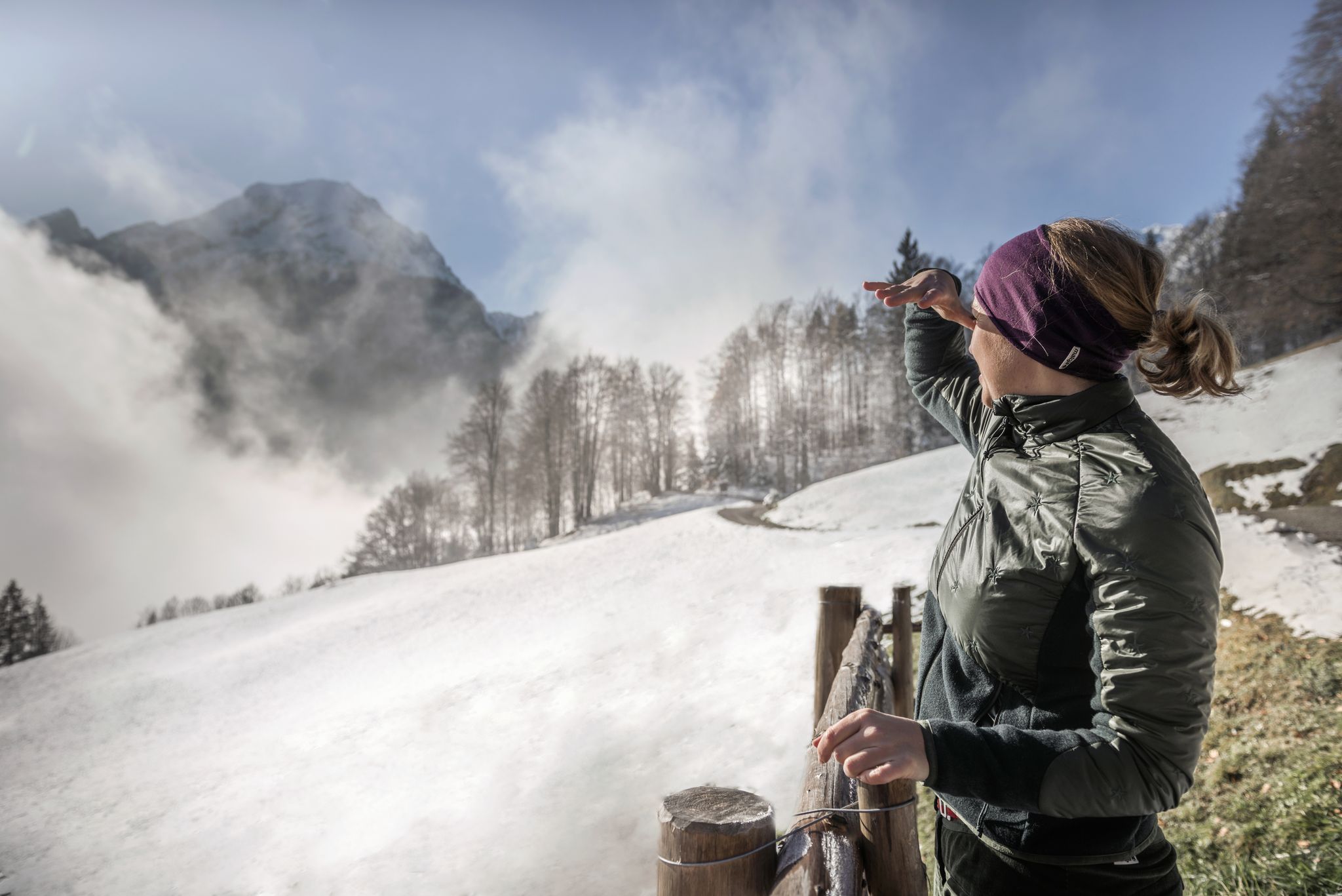
A snowy dream – winter hiking in Upper Bavaria

Triathlon around Germany
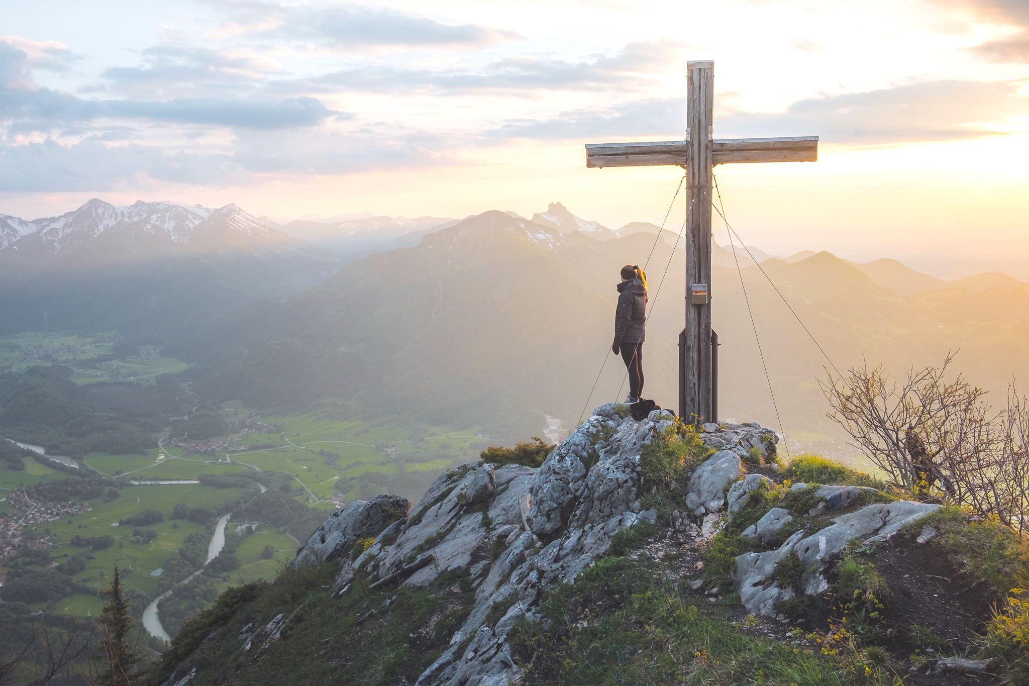
High up in Chiemgau and Berchtesgadener Land
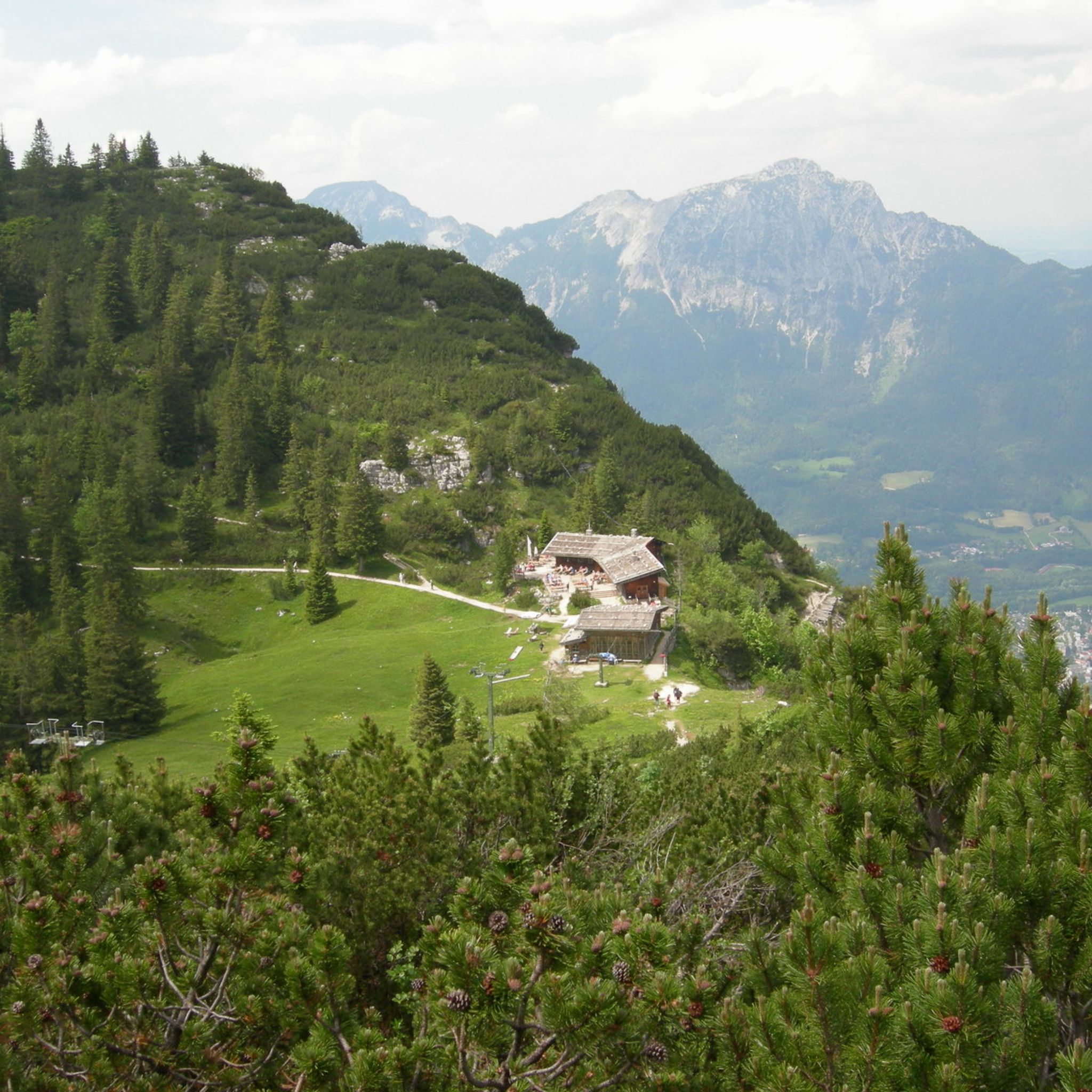
Hiking around Bayerisch Gmain
MTB Trails around Bayerisch Gmain
Cycling around Bayerisch Gmain
Running Trails around Bayerisch Gmain

Mountain Hikes around Bayerisch Gmain

Gravel biking around Bayerisch Gmain
Other adventures around Bayerisch Gmain


Tips from the Community

Beautiful path to the Königssee
0
0

Still closed because the owner apparently does not want passage or a visit. A cycle path is currently being built from Glanegg to Fürstenberg on the L237 around the Gutshof. Status 06_2026
0
0

The Franciscan Church is a beautiful Gothic building with a large Chapel of Our Lady.
10
0


Frequently Asked Questions
What kind of terrain can I expect on road cycling routes around Bayerisch Gmain?
Road cycling around Bayerisch Gmain offers a diverse landscape, characterized by stunning Alpine scenery, dense forests, lush meadows, and impressive mountain panoramas. You'll find routes winding through valleys and ascending mountainsides, with the majestic Untersberg mountain often providing a prominent backdrop. Most cycling surfaces are paved, making them ideal for road cyclists.
Are there road cycling routes suitable for different fitness levels in Bayerisch Gmain?
Yes, Bayerisch Gmain caters to various skill levels. The region offers a wide network of routes, including options for easy, moderate, and difficult rides. For example, the Pilgrimage Church of Großgmain – Walserfeld Battle Memorial loop is an easy route, while the Hintersee – Hochschwarzeck Scenic Road loop presents a more challenging, difficult option with significant elevation gain.
What are some notable landmarks or scenic views I can see while road cycling in Bayerisch Gmain?
The region is rich in scenic views and landmarks. Many routes offer views of the iconic Watzmann mountain and the Untersberg. You might also encounter the distinctive outline of the Schlafende Hexe (Sleeping Witch) in the Lattengebirge Massif. Other routes pass historical sites like Glanegg Castle or offer glimpses of Bad Reichenhall and Lake Saalach.
Are there any beautiful lakes accessible by road bike near Bayerisch Gmain?
Absolutely. The region is home to several picturesque lakes. While cycling, you might pass by Lake Saalach, and routes can extend towards destinations like Hintersee or Thumsee. These offer stunning natural beauty and are popular spots for visitors.
What is the best time of year for road cycling in Bayerisch Gmain?
Bayerisch Gmain is a year-round outdoor destination, but for road cycling, the warmer months from spring through autumn generally offer the most favorable conditions. During this time, you can best enjoy the lush green meadows and mountain panoramas without the challenges of winter weather. Routes can take up to five hours or more to complete, so good weather is key.
Can I find circular road cycling routes around Bayerisch Gmain?
Yes, many of the road cycling routes in Bayerisch Gmain are designed as loops, allowing you to start and end in the same location. Examples include The Sleeping Witch – View of the Watzmann Massif loop and the Glanegg Castle – View of the Untersberg loop, providing convenient options for exploration.
What do other road cyclists say about the routes in Bayerisch Gmain?
The road cycling routes in Bayerisch Gmain are highly regarded by the komoot community, with an impressive average rating of 4.8 stars from over 40 reviews. Cyclists often praise the varied terrain, the stunning Alpine landscapes, and the well-maintained paved surfaces that make for an enjoyable riding experience.
Are there any long-distance road cycling routes that start from or pass through Bayerisch Gmain?
Yes, Bayerisch Gmain serves as an excellent starting point for longer rides. Routes extend to nearby cities like Salzburg (approx. 22 km) and Traunstein (approx. 42 km), allowing for more extensive tours through the region and beyond. These longer routes often involve significant elevation changes.
Where can I find parking for my road bike in Bayerisch Gmain?
Bayerisch Gmain is well-equipped for outdoor enthusiasts. While specific dedicated road bike parking areas are not explicitly detailed, the town and surrounding areas typically offer public parking facilities. It's advisable to look for general parking in the town center or near popular trailheads, which are usually suitable for cyclists.
Can I reach road cycling routes in Bayerisch Gmain using public transport with my bike?
Bayerisch Gmain is accessible by public transport, and the region generally supports combining cycling with public transport. The local train station and bus services often accommodate bikes, though it's always recommended to check specific operator policies and peak hour restrictions beforehand. This allows for flexible route planning and exploring different starting points.
Are there any cafes or pubs suitable for cyclists in Bayerisch Gmain?
Bayerisch Gmain and its neighboring towns like Bad Reichenhall offer a variety of cafes and pubs where cyclists can take a break. You'll find establishments with outdoor seating, perfect for enjoying a refreshment while taking in the Alpine atmosphere after a ride. These spots are great for refueling and experiencing local hospitality.
What kind of elevation changes should I expect on road cycling routes in Bayerisch Gmain?
Road cycling in Bayerisch Gmain involves significant elevation changes, as the region is nestled in the Alpine foothills. Routes often feature both challenging climbs and exhilarating descents. For instance, the Hintersee – Hochschwarzeck Scenic Road loop has over 1300 meters of elevation gain, requiring good to very good fitness.
Are there any natural water features or gorges near the road cycling routes?
While the Almbachklamm waterfall and Lake Königssee are popular natural attractions in the vicinity, they are often associated with hiking or mountain biking. However, the natural beauty of these areas contributes to the overall scenic experience of the region, and some road cycling routes may offer distant views or access points to areas near these features.
Most popular routes around Bayerisch Gmain
Most popular attractions around Bayerisch Gmain

Get inspired with the komoot mobile app


Explore more
Browse the best Road cycling routes in other regions.
