The best road cycling routes around Wollochet
4.9
(42)
773
riders
45
rides
Road cycling around Wollochet, located in the Puget Sound region, offers access to diverse routes characterized by waterfront views, varied terrain, and natural features. The area provides a mix of well-maintained pathways, including sections with notable inclines, and serene stretches along the bay. Cyclists can navigate routes that feature iconic bridges and dedicated trails, providing a range of experiences from challenging climbs to more leisurely rides. The landscape transitions from coastal areas to more forested sections, offering varied backdrops for…
Last updated: June 4, 2026
5.0
(2)
38
riders
32.1km
01:36
320m
320m
Moderate road ride. Good fitness required. Mostly well-paved surfaces and easy to ride.
17
riders
78.4km
03:51
940m
940m
Hard road ride. Very good fitness required. Mostly well-paved surfaces and easy to ride.

4.0
(1)
52
riders
48.1km
02:16
470m
470m
Moderate road ride. Good fitness required. Mostly well-paved surfaces and easy to ride.
5.0
(2)
20
riders
92.8km
04:14
1,010m
1,010m
Hard road ride. Very good fitness required. Mostly well-paved surfaces and easy to ride.
22
riders
44.9km
02:02
420m
420m
Moderate road ride. Good fitness required. Mostly well-paved surfaces and easy to ride.
Get access to more routes and recommendations from other explorers.
Already have an account?
Our route recommendations are based on thousands of hikes, rides, and runs completed by other people on komoot.

Tips from the Community

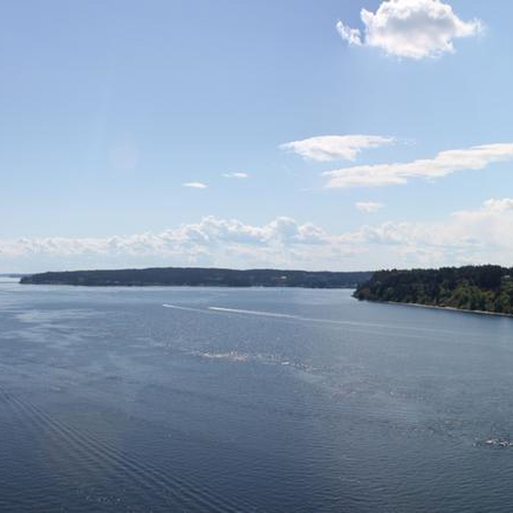
Waterman Point is a quiet, residential peninsula in Kitsap County, Washington, just west of Bremerton. It juts into the waters where Port Orchard narrows into Rich Passage, offering scenic views of Puget Sound, passing ferries, and even Mount Rainier on a clear day. From this spot on Beach Drive, you get a nice view of the point and over the water.
0
0

Cute little beach park perfect for a quick dip in the summer. If you're lucky you might also get to see the local deer that frequent the beach. Well worth a visit for sunrise 🌄
0
0

A nice paved trail runs along this beach area, accompanied by a small park right next to the beach. The park features a beach pavilion, a whale sculpture play area, and plenty of benches, making it a great spot to take a break.
0
0

This spot near the small community of Olalla is beautiful, with upfront views of the Calvas Passage. There is a small convenience store where you can stop and purchase snacks and drinks.
0
0
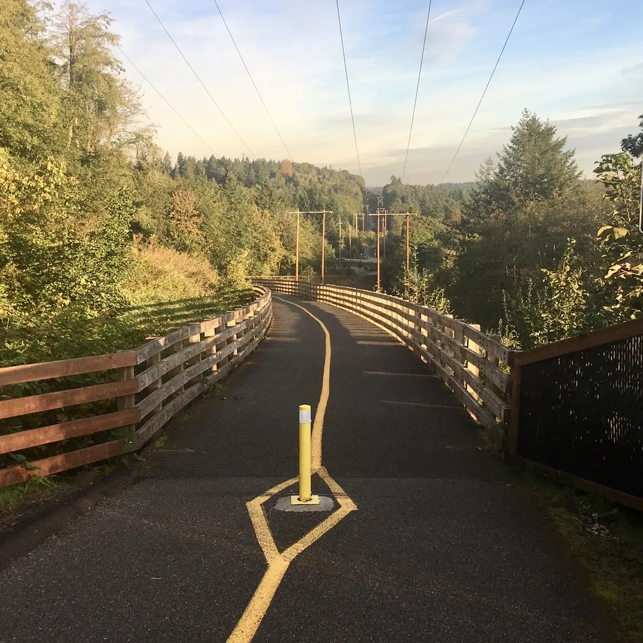
This is a well-maintained, wide, paved pathway that runs along the power lines (hence the name) and parallels State Route 16. It has multiple access points and several benches and picnic tables along the way. As you traverse the route, you can expect to travel over several hills through some beautiful scenic areas.
0
0
The Tacoma Narrows Bridge consists of two suspension bridges offering impressive views over the Puget Sound. It can be a breezy ride, especially in the fall and spring. Be alert when descending onto the bridge from the west side (Gig Harbor), as there is an entrance to the trail on the right-hand side near the bottom of the hill, and other cyclists entering the path may be unaware of others barreling down at them at high speeds. On the east side (Tacoma), use caution when crossing busy Jackson Street, as there have been several auto/bike accidents at the off-ramp.
1
0
Tacoma's sole beach park on the west side, it features various amenities including a water park, community center, and a beach, providing multiple spots to unwind and savor the waterfront views.
0
0
This multi-use, paved trail runs for a little over a mile on a 200-foot bluff alongside the eastern edge of Chambers Creek Park, with fantastic views of the public golf course, Puget Sound and the islands. It connects to the Soundview Trail at both ends for pedestrians and bikers to enjoy a scenic loop through the grounds.
1
0
Frequently Asked Questions
How many road cycling routes are available around Wollochet?
There are over 45 road cycling routes around Wollochet, offering a diverse range of experiences. These include routes with waterfront views, varied terrain, and dedicated trails suitable for different skill levels.
What types of terrain can I expect on road cycling routes in the Wollochet area?
Road cycling routes around Wollochet feature a mix of terrain. You'll find well-maintained paved paths, sections with notable inclines, and serene stretches along the bay. The landscape transitions from coastal areas to more forested sections, providing varied backdrops for your ride.
Are there any easy road cycling routes suitable for beginners or families?
Yes, Wollochet offers several easy road cycling routes. For instance, the Five Mile Drive Outer Loop – Fort Nisqually loop from Tacoma Narrows is an easy 8.9-mile (14.3 km) path. The region also has multi-use paths like the Ruston Way Waterfront Path, which is relatively flat and offers accessible views, though cyclists should be mindful of pedestrian traffic.
Which routes offer the most scenic views or iconic landmarks?
Many routes provide stunning scenery. The Cushman Powerline Trail – Tacoma Narrows Bridge loop from Ruston takes you across the iconic Tacoma Narrows Bridge, offering impressive views over the Puget Sound. The Point Defiance — Five Mile Drive also provides numerous viewpoints and picnic spots, especially when closed to vehicle traffic.
Can I find challenging road cycling routes with significant elevation gain?
Absolutely. For those seeking a challenge, the Olalla loop is a difficult 48.7-mile (78.4 km) route with significant elevation gain, traversing varied terrain. Another challenging option is the Cushman Powerline Trail – Olalla Bay loop from Gig Harbor, which covers nearly 56 miles (89.7 km) with substantial climbing.
What do other road cyclists say about the routes in Wollochet?
The road cycling routes in Wollochet are highly rated by the komoot community, with an average score of 4.8 stars from over 40 reviews. Cyclists often praise the diverse terrain, scenic waterfront views, and the combination of dedicated trails and park roads.
Are there any specific trails or paths that are particularly well-maintained for road cycling?
The Cushman Powerline Trail is a significant draw for cyclists, known for being wide, paved, and well-maintained. It features some hilly sections and is equipped with amenities like bike racks, benches, and picnic tables, with multiple access points for convenience.
Are there any places to stop for refreshments or cafes along the road cycling routes?
While specific cafes directly on every route are not listed, the region's proximity to towns like Gig Harbor and Ruston (the starting point for routes like the Cushman Powerline Trail – Tacoma Narrows Bridge loop from Ruston) means you'll find various options for cafes, pubs, and accommodation nearby. The Ruston Way Waterfront Path also connects several smaller parks, offering accessible views and potential stops.
What is the best time of year to go road cycling in Wollochet?
The Puget Sound region generally offers good cycling conditions from spring through fall. While the Tacoma Narrows Bridge can be breezy, especially in fall and spring, these seasons often provide pleasant temperatures for cycling. Winter cycling is possible, but riders should be prepared for cooler, potentially wetter weather.
Are there any circular road cycling routes in the Wollochet area?
Yes, many of the routes are designed as loops. For example, the popular Cushman Trail and Point Defiance Loop is a 19.9-mile (32.1 km) circular route. The Olalla loop and the Cushman Powerline Trail – Tacoma Narrows Bridge loop from Ruston are also excellent circular options.
What are some notable attractions or points of interest I might encounter while cycling?
Beyond the cycling itself, you can explore several attractions. The Tacoma Narrows Bridge offers panoramic views. You might also pass by Fort Nisqually, a historical site, or enjoy the natural beauty of the Wollochet Bay Estuary, known for its lush greenery and birdwatching opportunities.
Is parking available near the road cycling routes in Wollochet?
Yes, many popular cycling areas have accessible parking. The Cushman Powerline Trail, for instance, has multiple access points, often with parking facilities. Similarly, parks like Point Defiance and areas along the Ruston Way Waterfront Path typically offer parking for visitors.
Most popular routes around Wollochet
Most popular attractions around Wollochet

Get inspired with the komoot mobile app


Explore more
Browse the best Road cycling routes in other regions.
