The best running trails around Silver Firs
3.8
(10)
692
runners
66
runs
Jogging routes around Silver Firs offer a blend of natural beauty and accessible trails within Everett, Washington. The region is characterized by lush, green landscapes and a network of well-maintained paths, many featuring paved surfaces ideal for running. These routes often traverse community areas, providing a tranquil environment for outdoor activities. Silver Firs' location also provides access to broader natural features within Snohomish County, enhancing the variety of running experiences.
Best jogging routes around Silver Firs
- The most popular jogging route is Silver Lake loop from Henry M Jackson High School, a 2.1 miles (3.4 km) trail that takes 21 minutes to complete. This easy route features mostly paved surfaces around Silver Lake.
- Another top favourite among local runners is Running loop from Bothell East, an easy 2.7 miles (4.4 km) path. This route winds through lush, green community trails, offering a serene running experience.
- Local runners also love the Thomas Lake loop from Mill Creek East, a 5.6 miles (8.9 km) trail leading through residential areas and natural green spaces, often completed in about 56 minutes.
- Jogging around Silver Firs is defined by lush green landscapes, well-maintained trails, and paved surfaces. The network offers options for different ability levels, from easy community loops to moderate longer routes.
- The routes in Silver Firs are highly rated by the komoot community with an average score of 3.6 stars from over 7 reviews. More than 500 runners have used komoot to explore Silver Firs's varied terrain.
Last updated: May 17, 2026
7
runners
3.37km
00:21
20m
20m
Easy run. Great for any fitness level. Mostly paved surfaces. Suitable for all skill levels.
4
runners
4.39km
00:27
30m
30m
Easy run. Great for any fitness level. Mostly paved surfaces. Suitable for all skill levels.

Sign up for free
3.0
(1)
4
runners
8.94km
00:56
50m
50m
Moderate run. Good fitness required. Mostly paved surfaces. Suitable for all skill levels.
3
runners
5.55km
00:36
30m
30m
Moderate run. Good fitness required. Mostly paved surfaces. Suitable for all skill levels.
4.0
(1)
3
runners
10.6km
01:07
50m
50m
Moderate run. Good fitness required. Mostly paved surfaces. Suitable for all skill levels.
Get access to more routes and recommendations from other explorers.
Sign up for free
Already have an account?
Our route recommendations are based on thousands of hikes, rides, and runs completed by other people on komoot.
Start today with a free account
Your next adventure awaits.
Login or Signup
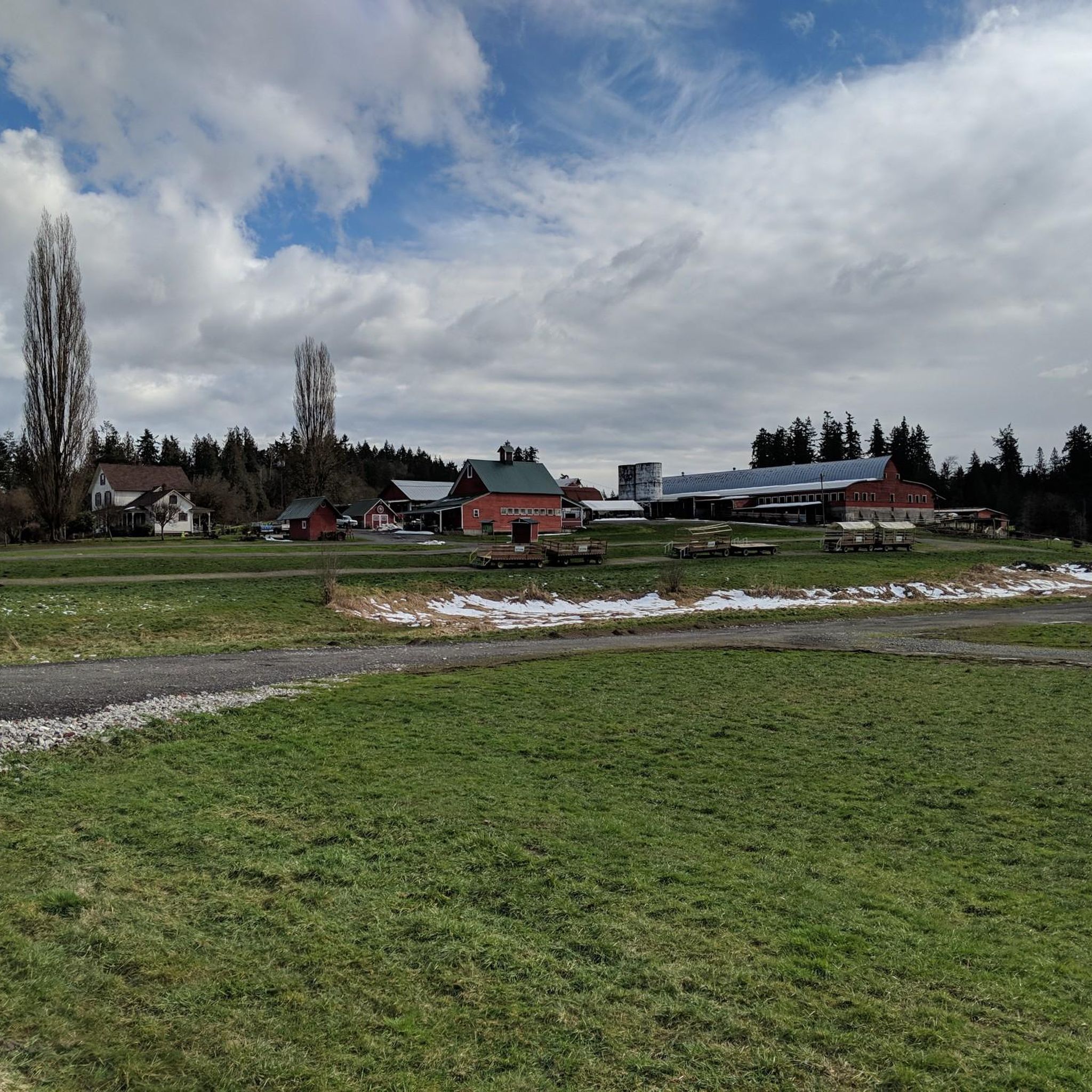
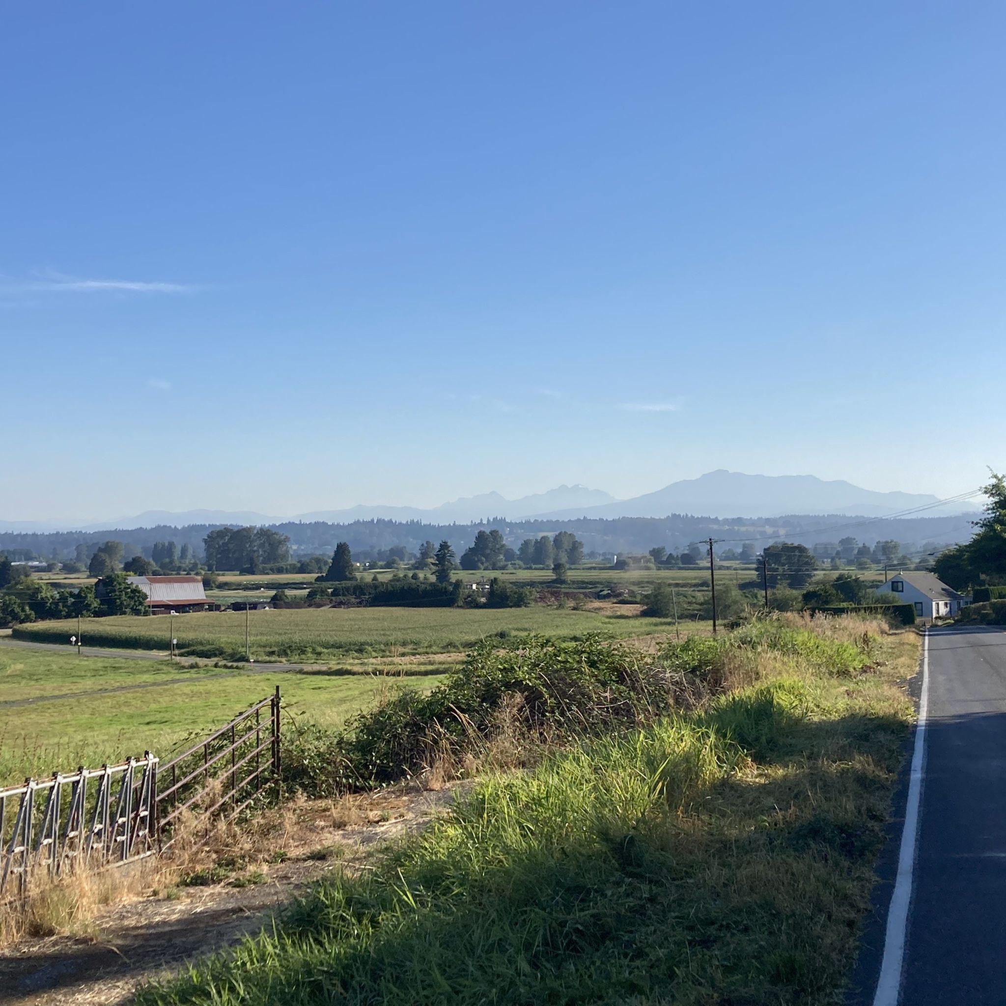
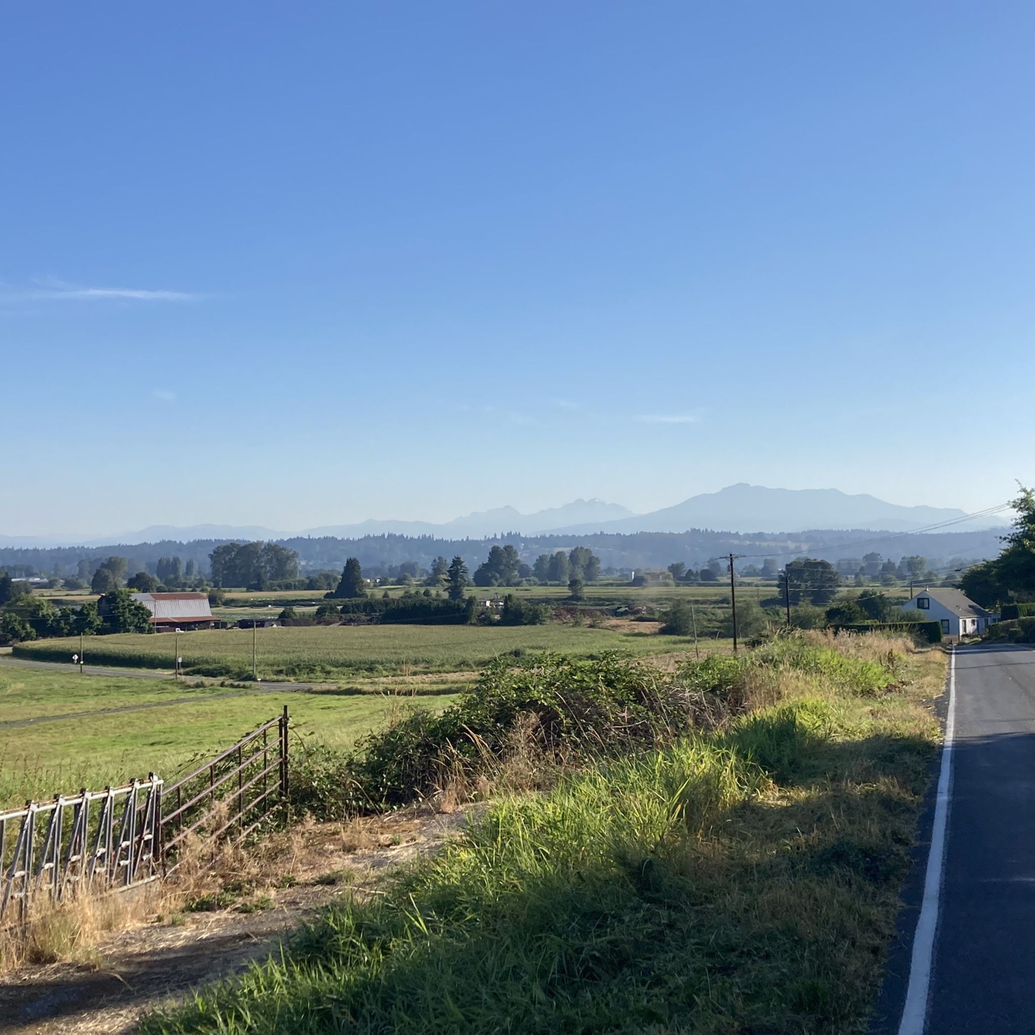

Tips from the Community

Located just 5.5 miles (8.85 km) south of Everett along the Bothell-Everett Highway, this suburban lake is ideal for boating, fishing, and swimming. It is surrounded by three city parks with public access, including Thornton A. Sullivan Park on the west side, which offers ample shoreline and public bathrooms.
0
0
Frequently Asked Questions
How many running routes are available in Silver Firs?
There are over 60 running routes around Silver Firs, offering a diverse range of experiences for all fitness levels. These include easy community loops and more challenging longer routes.
What kind of terrain can I expect on running trails in Silver Firs?
The running trails in Silver Firs and the surrounding areas are characterized by lush, green landscapes. Many routes feature mostly paved surfaces, making them ideal for jogging. You'll find a mix of community trails, some winding through residential areas, and others offering access to broader natural features within Snohomish County.
Are there any family-friendly running routes in Silver Firs?
Yes, many of the community trails in Silver Firs are suitable for families. They often feature wide, well-maintained paths and gentle gradients. Routes like the Silver Lake loop from Henry M Jackson High School are easy and mostly paved, making them great for a family outing.
Can I bring my dog on the running trails in Silver Firs?
While many trails in the Silver Firs area are dog-friendly, it's always best to keep your dog on a leash and check specific park regulations before you go. The extensive trail network, including community trails and paved paths, generally welcomes leashed pets.
What are some scenic natural features or landmarks I might see while jogging?
You can enjoy several natural features and landmarks. The Silver Lake loop from Henry M Jackson High School offers views of Silver Lake. You might also encounter serene wetland areas like Beaver Lodge Pond, known for birdwatching. The nearby Interurban Trail provides a traffic-free route through varied scenery.
Are there any loop running trails in the Silver Firs area?
Yes, Silver Firs offers several excellent loop running trails. Popular options include the easy Silver Lake loop from Henry M Jackson High School and the Running loop from Bothell East. For a moderate, longer option, consider the Thomas Lake loop from Mill Creek East.
Where can I find parking for the running routes?
Many running routes in Silver Firs, especially those starting from community parks or schools like Henry M Jackson High School, typically have accessible parking facilities. For trails like the Interurban Trail, various access points along its length offer parking options. It's advisable to check specific starting points for detailed parking information.
Is public transport available to access trails near Silver Firs?
Public transport options are available in the broader Everett and Snohomish County area, which can provide access to some trailheads. For example, the Interurban Trail is accessible from various points that may be served by local bus routes. However, direct public transport to every specific trailhead within Silver Firs might be limited, so planning your journey in advance is recommended.
What is the best time of year to go running in Silver Firs?
The lush, green landscapes of Silver Firs are enjoyable year-round. Spring and fall offer pleasant temperatures and vibrant scenery. Summer is also great, though it can be warmer. Even in winter, many paved trails remain accessible, providing a refreshing experience amidst the Pacific Northwest's natural beauty.
Are there any easy running routes for beginners?
Absolutely! Silver Firs has several easy running routes perfect for beginners. The Silver Lake loop from Henry M Jackson High School is an excellent choice, being a 2.1-mile (3.4 km) paved route. Another easy option is the Running loop from Bothell East, which is 2.7 miles (4.4 km) and winds through serene community trails.
What do other runners say about the trails in Silver Firs?
The running routes in Silver Firs are highly rated by the komoot community, with an average score of 3.6 stars from over 7 reviews. Runners often praise the lush, green landscapes, the well-maintained paths, and the variety of routes suitable for different ability levels, from easy community loops to moderate longer runs.
Are there any longer running routes for more experienced runners?
Yes, for more experienced runners looking for a challenge, there are longer, moderate routes available. The Running loop from Archbishop Murphy High School is a moderate 8-mile (12.9 km) route with some elevation gain. The Thomas Lake loop from Mill Creek East is another moderate option, spanning 5.6 miles (8.9 km).
Can I find places to eat or drink near the running trails?
Silver Firs and its neighboring communities like Mill Creek and Bothell offer various cafes, restaurants, and pubs. While not directly on every trailhead, you'll find options within a short drive to refuel after your run. Willis Tucker Community Park, a popular local spot, is also nearby and could be a good starting point for exploring local amenities.
Most popular routes around Silver Firs
Most popular attractions around Silver Firs

Get inspired with the komoot mobile app


Explore more
Browse the best Running Trails & Routes in other regions.
