The best walks and hikes around Otis Orchards-East Farms
4.9
(30)
274
hikers
35
hikes
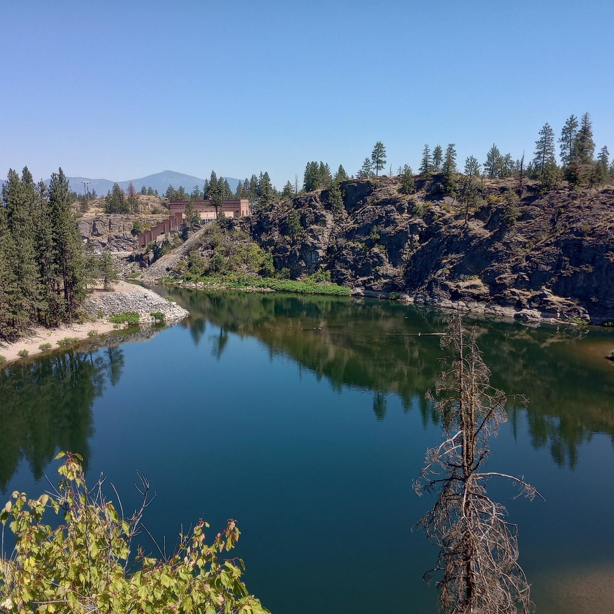
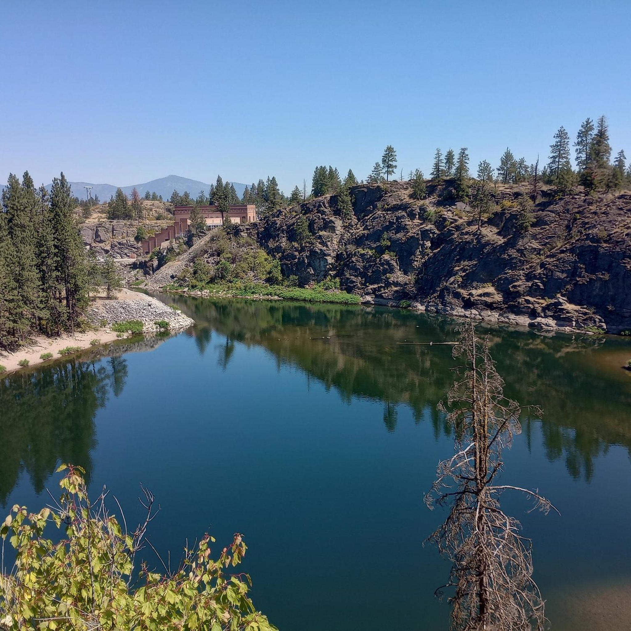
Hiking around Otis Orchards-East Farms, Washington, features diverse landscapes within the Spokane River Valley. The region is characterized by rolling hills, varied conservation lands, and evergreen forests. Key natural features include Antoine Peak and Saltese Uplands Conservation Areas, which protect local habitats and offer viewpoints. The terrain ranges from flat sections along river valleys to routes with significant elevation gain.
Best hiking trails in Otis Orchards-East Farms
- The most popular hiking route is Carlson Hill Loop, a 3.3 miles…
Last updated: May 29, 2026
13
hikers
5.57km
01:43
190m
190m
Easy hike. Great for any fitness level. Easily-accessible paths. Suitable for all skill levels.
5.0
(4)
11
hikers
5.36km
01:37
180m
180m
Easy hike. Great for any fitness level. Easily-accessible paths. Suitable for all skill levels.

Sign up for free
4
hikers
4.93km
01:30
170m
170m
Easy hike. Great for any fitness level. Easily-accessible paths. Suitable for all skill levels.
1
hikers
3.77km
01:11
260m
0m
Easy hike. Great for any fitness level. Easily-accessible paths. Suitable for all skill levels.
2.71km
00:41
10m
10m
Easy hike. Great for any fitness level. Easily-accessible paths. Suitable for all skill levels.
Get access to more routes and recommendations from other explorers.
Sign up for free
Already have an account?
Our route recommendations are based on thousands of hikes, rides, and runs completed by other people on komoot.
Start today with a free account
Your next adventure awaits.
Login or Signup



Tips from the Community

You can see the summit of Mount Spokane as you ascend toward Antoine Peak. The Arrow Leaf and other trails to the south of the peak are less frequently traveled, and so are perfect if you are looking for some more solitude on your hike.
1
0

The Saltese Uplands Conservation Area is a sprawling, scenic 522-acre sanctuary in Spokane County, Washington. Nestled on the western slope of the Holiday Hills, just east of Saltese Flats, this conservation area is a great place for locals and visitors alike to explore. There are 7 miles of trails that are all open to the public during the daylight hours.
0
0
Frequently Asked Questions
What kind of terrain can I expect on hikes around Otis Orchards-East Farms?
The region offers a varied landscape, from the rolling hills and evergreen forests of areas like Antoine Peak Conservation Area to the more accessible paths in Saltese Uplands Conservation Area. You'll find a mix of relatively flat sections and routes with significant elevation gain, providing options for different fitness levels.
Are there any easy hiking trails suitable for beginners or casual walkers?
Yes, many trails are suitable for beginners. For example, the Uplands Loop Trail — Saltese Uplands Conservation Area is an easy 4.3-mile path through accessible conservation lands, often completed in about two hours. Overall, 13 of the 20 routes in the area are rated as easy.
Are there any trails with waterfalls or interesting water features?
Yes, the area features several water attractions. The Liberty Creek Trail loop — Liberty Lake Regional Park follows Liberty Creek, where you can observe beaver activity and eventually reach a waterfall. You can also explore highlights like Falls Park and the Waterfall at Mirabeau Pond.
What are some good trails for families with children?
Many of the easier trails are great for families. The Saltese Uplands Conservation Area, with its accessible paths, is a good choice. The Uplands Loop Trail there is particularly family-friendly. For a slightly longer option, the Liberty Creek Trail loop offers engaging features like beaver activity and old cedars.
Are there any dog-friendly hiking trails in Otis Orchards-East Farms?
Yes, many trails in the conservation areas are dog-friendly, though leash rules typically apply. Both Antoine Peak Conservation Area and Saltese Uplands Conservation Area welcome dogs on their trails. Always check local signage for specific regulations.
Where can I find scenic viewpoints or landmarks along the trails?
For panoramic views, the Antoine Peak Summit Trail loop — Antoine Peak Conservation Area offers stunning vistas of the Spokane Valley and surrounding areas from its summit. The Liberty Lake area also provides scenic spots, with a vista of the lake from an ascent on the Liberty Creek trail.
Are there any circular or loop trails available?
Yes, many of the popular routes are designed as loops. Examples include the Antoine Peak Summit Trail loop and the Uplands Loop Trail. These provide a convenient way to experience the diverse landscapes without retracing your steps.
What is the best time of year to go hiking in Otis Orchards-East Farms?
The trails in Otis Orchards-East Farms are generally accessible year-round. Spring and fall offer pleasant temperatures and vibrant scenery, while summer is ideal for longer days. Winter hiking is also possible, especially in areas like Antoine Peak, though conditions may vary.
What do other hikers say about the trails in Otis Orchards-East Farms?
The hiking routes in Otis Orchards-East Farms are highly rated by the komoot community, with an average score of 4.8 stars from over 20 reviews. Hikers often praise the diverse terrain, well-maintained paths, and the scenic views, particularly from the higher elevations.
Is there parking available at the trailheads?
Yes, conservation areas like Antoine Peak and Saltese Uplands typically have designated parking areas at their trailheads. For example, Antoine Peak Conservation Area has several access points with parking, including Canfield Gulch. It's always a good idea to check specific trailhead information before you go.
Are there any longer, more challenging hikes in the area?
While many trails are moderate, some offer more significant length and elevation gain. The Liberty Creek Trail – Cedar Grove loop from Liberty Lake, at over 8 miles with considerable elevation, provides a more strenuous option for experienced hikers looking for a longer adventure.
Can I reach any hiking trails using public transport?
Public transportation options directly to specific trailheads in Otis Orchards-East Farms are limited. Most visitors typically access the hiking areas by car. It's recommended to plan your transport in advance.
What kind of natural features can I expect to see besides waterfalls?
Beyond waterfalls, you'll encounter diverse ecosystems. Antoine Peak is known for its rolling hills, evergreen trees, and locally rare Pacific yew trees near Leland Pond, where moose are sometimes spotted. The Liberty Creek area features old cedar groves, and the Spokane River Valley itself offers geological formations and pine forests.
Most popular routes around Otis Orchards-East Farms
Most popular attractions around Otis Orchards-East Farms

Get inspired with the komoot mobile app


Explore more
Browse the best Hikes in other regions.
