The best road cycling routes around North Puyallup
4.8
(23)
758
riders
28
rides
Road cycling routes around North Puyallup offer a diverse landscape characterized by a mix of paved roads, quiet access roads, and dedicated trails. The region features relatively flat sections along river valleys, with some routes including more challenging ascents. Cyclists can enjoy views of the prominent Mount Rainier and explore areas with lush forests and agricultural lands. The terrain provides options for various skill levels, from gentle rides to more demanding workouts.
Best road cycling routes around North Puyallup
- The…
Last updated: October 2, 2026
5.0
(7)
195
riders
54.9km
02:20
290m
290m
Moderate road ride. Good fitness required. Mostly well-paved surfaces and easy to ride.
5.0
(4)
131
riders
94.0km
03:57
420m
420m
Moderate road ride. Good fitness required. Some segments of this route may be unpaved and difficult to ride.

5.0
(1)
111
riders
27.6km
01:03
60m
60m
Easy road ride. Great for any fitness level. Mostly well-paved surfaces and easy to ride.
5.0
(1)
21
riders
41.0km
01:39
190m
190m
Easy road ride. Great for any fitness level. Mostly well-paved surfaces and easy to ride.
5
riders
74.8km
03:34
690m
690m
Moderate road ride. Good fitness required. Some segments of this route may be unpaved and difficult to ride.
Get access to more routes and recommendations from other explorers.
Already have an account?
Our route recommendations are based on thousands of hikes, rides, and runs completed by other people on komoot.
Start today with a free account
Your next adventure awaits.
Popular around North Puyallup

Tips from the Community

Just a simple bridge with Voight Creek views.
0
0
The Foothills Trail is a mostly paved 21-mile path from Puyallup toward Mount Rainier, perfect for walking, biking, and horseback riding. Enjoy views of Mount Rainier, wildlife, and historic sites like Melmont ghost town. Multiple access points make it easy to explore sections at your pace.
1
0

This section of the Riverwalk Trail, a popular, paved multi-use trail, follows Puyallup River. This is a nice spot close to downtown Sumner, Washington, along the water. Although it's sometimes a little hard to see the river through the trees, it's still a great section of trail.
0
0

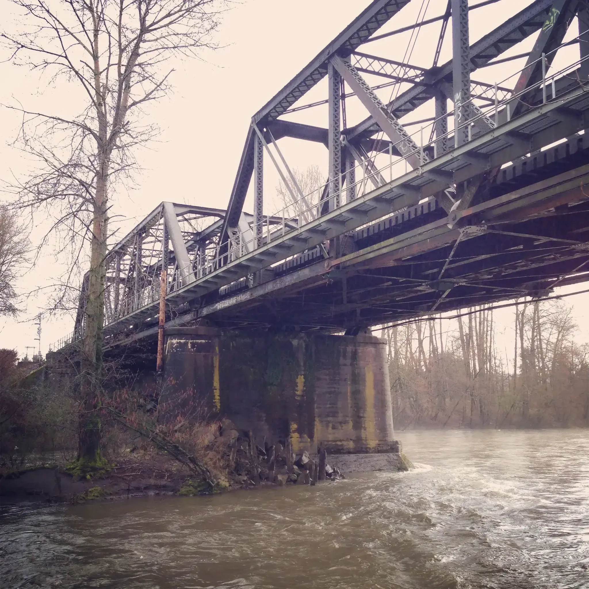
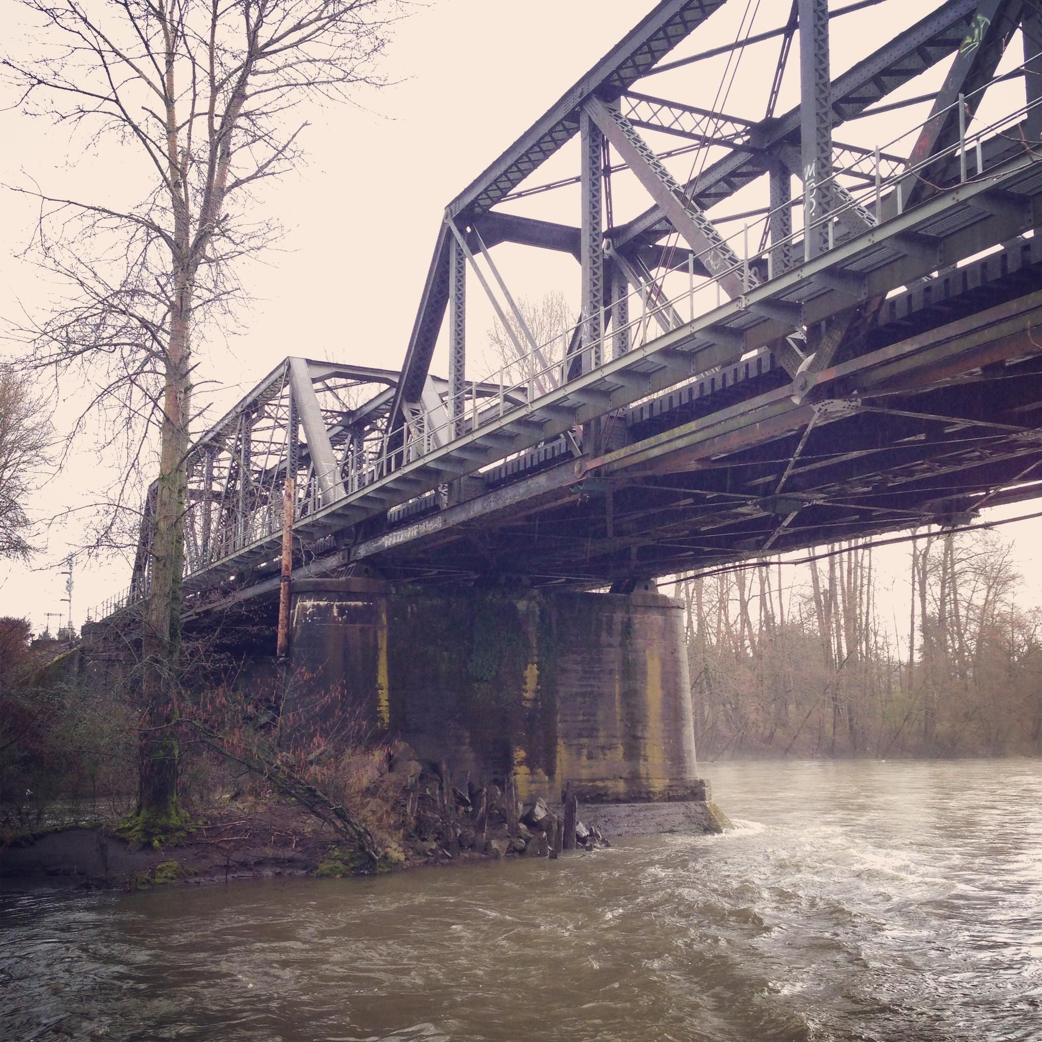
Love this bridge. Would love it more if the trail actually crossed over the old broken bridge just one tenth of a mile farther north...
0
0

This is a fantastic viewpoint along the river, and the paved section of trail here is easily done on a road bike.
0
0

The Foothills Trail parallels the Carbon River for many miles, but your view is often obscured by foliage. Here you get a clear view of the river from the trail, as well as the verdant flora overhanging its banks.
0
0

A lovely curved wooden bridge that is just gorgeous and naturey
1
0
Very nice trail from just south of Sumner around a big loop through Orting and up to Buckley. The best section is a loop-de-loop S-curve to climb a hill between South Prairie and Buckley - very secluded and completely tree-lined. Once you get to Buckley, you need to turn around because there is a missing bridge to cross over into Enumclaw. It would be a welcome addition, as the highway is heavily trafficked with extremely fast, loud trucks who don't give much passing room. Proceed with care.
0
0
Frequently Asked Questions
How many road cycling routes are available in North Puyallup?
North Puyallup offers a good selection of road cycling routes, with over 25 different tours available. These routes cater to various skill levels, including 13 easy and 13 moderate options.
Are there easy road cycling routes suitable for beginners or families?
Yes, North Puyallup has several easy road cycling routes perfect for beginners or families. The Sumner Link Trail loop from Sumner is an easy 18.6-mile (29.9 km) option with minimal elevation gain. The Puyallup Loop Trail and the paved loop at Van Lierop Park are also great choices for less strenuous rides.
What kind of scenery can I expect on road cycling routes in North Puyallup?
Road cycling routes in North Puyallup offer diverse scenery, from lush forests and agricultural lands to river valleys. Many routes provide stunning views of Mount Rainier, which dominates the southeastern horizon on clear days. You'll also encounter parks and green spaces, with some trails winding through residential areas and connecting to urban centers.
Are there any specific attractions or landmarks along the road cycling routes?
Yes, several routes pass by or near interesting attractions. The Sumner Link Trail itself is a notable feature, and you might find an Outdoor Fitness Area on the Sumner Link Trail. Other nearby points of interest include Bradley Lake, known for its scenic trail, and Swan Creek Park with its forest trails.
What is the best time of year for road cycling in North Puyallup?
The best time for road cycling in North Puyallup is generally during the warmer, drier months, typically from spring through fall. The region experiences lush foliage, especially in autumn, which can make for particularly scenic rides. While some trails are accessible year-round, checking local weather conditions is always recommended.
Where can I find parking near the road cycling trails?
Parking is generally available at various access points for popular trails. For instance, the Foothills Trail has multiple trailheads with parking. Parks like Bradley Lake Park and Pioneer Park also offer parking facilities, which can serve as starting points for rides that connect to the wider cycling network.
Is public transport accessible to the cycling routes in North Puyallup?
Yes, some cycling routes in North Puyallup are accessible via public transport. The Interurban Trail and Sumner Link Trail, for example, connect various towns and can be reached from different points within the regional public transport network. Cyclists can plan their routes to incorporate public transit for longer loops or to reach specific starting points.
Are there places to stop for refreshments or food along the routes?
Many routes in North Puyallup pass through or near towns like Puyallup, Sumner, and Orting, where you can find cafes, restaurants, and shops for refreshments. The Region Research mentions a loop extending to the Black Diamond Bakery from the Sumner Link Trail, indicating opportunities for food stops along certain rides.
What do other cyclists say about road cycling in North Puyallup?
The road cycling routes in North Puyallup are highly rated by the komoot community, with an average score of 4.4 stars from over 10 reviews. Cyclists often praise the varied terrain, the mix of paved roads and dedicated trails, and the scenic views, particularly of Mount Rainier.
Are there any long-distance road cycling routes for experienced cyclists?
For experienced cyclists seeking longer distances, North Puyallup offers routes like the Southeast Green Valley Road loop from Puyallup, which spans 58.5 miles (94.2 km) and includes significant elevation gain. The region is also part of larger networks, such as the Seattle to Portland (STP) ride, allowing for extensive cycling adventures.
What is the terrain like on the Foothills Trail for road cycling?
The Foothills Trail is a significant attraction for cyclists, offering a 40.7-mile touring route. Parts of it are mostly paved, making it suitable for road cycling. It features moderate difficulty with scenic views, including Mount Rainier, and connects Puyallup with towns like Orting, South Prairie, and Buckley. While generally accessible, some sections might have varied surfaces.
Can I combine different trails for a longer road cycling ride?
Absolutely. The cycling network in North Puyallup is well-connected, allowing you to combine various trails for longer rides. For example, the Interurban Trail and Sumner Link Trail expand the network, and you can integrate them into loops that might also include sections of the Foothills Trail or local roads, creating diverse and extended cycling experiences.
Most popular routes around North Puyallup
Most popular attractions around North Puyallup

Get inspired with the komoot mobile app


Explore more
Browse the best Road cycling routes in other regions.
