The best road cycling routes around Dash Point
4.9
(33)
627
riders
39
rides
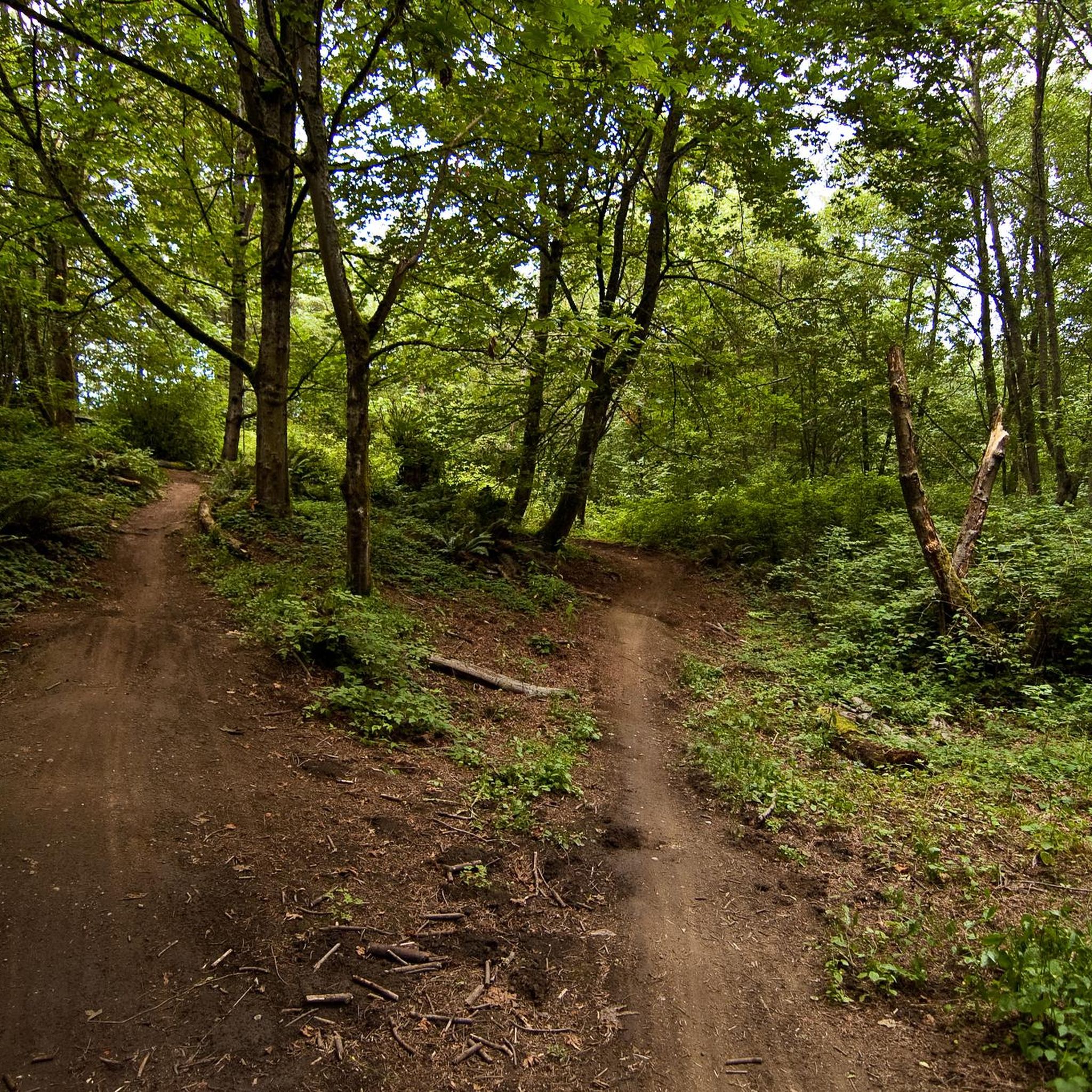
Road cycling around Dash Point features a diverse landscape combining coastal beauty with forested parkland. The area includes saltwater shoreline along Puget Sound and mixed second-growth forests with typical Northwest undergrowth. Paved multi-use paths, such as the Cushman Trail, offer accessible options for cyclists. The terrain varies from relatively flat sections along the coast to routes with moderate elevation gains through forested areas.
Best road cycling routes around Dash Point
- The most popular road cycling route is Five Mile Drive…
Last updated: May 17, 2026
5.0
(2)
43
riders
19.4km
01:06
270m
270m
Easy road ride. Great for any fitness level. Mostly well-paved surfaces and easy to ride.
11
riders
120km
05:49
1,400m
1,400m
Hard road ride. Very good fitness required. Mostly well-paved surfaces and easy to ride.

Sign up for free
10
riders
29.2km
01:30
310m
310m
Moderate road ride. Good fitness required. Mostly well-paved surfaces and easy to ride.
12
riders
76.9km
03:57
1,020m
1,020m
Hard road ride. Very good fitness required. Mostly well-paved surfaces and easy to ride.
6
riders
64.0km
03:16
840m
840m
Moderate road ride. Good fitness required. Mostly well-paved surfaces and easy to ride.
Get access to more routes and recommendations from other explorers.
Sign up for free
Already have an account?
Our route recommendations are based on thousands of hikes, rides, and runs completed by other people on komoot.
Start today with a free account
Your next adventure awaits.
Login or Signup
Popular around Dash Point


Tips from the Community

Caution is needed along the route, as homeless individuals often leave trash everywhere.
0
0

This shoulderless road has minimal traffic and offers a nice, quiet route through a forested area to Gig Harbor. There are beautiful homes along the way, with meticulously landscaped gardens and yards to enjoy as you pass by.
0
0
The Fox Island Bridge leads to a quiet, tranquil island with a community of around 3,000 residents. It boasts incredible views of Mt. Rainier, the snow-capped Olympic Mountains, the Tacoma Narrows Bridge, McNeil Island, and the snow-capped Olympic Mountains and McNeil Island. As you cross the bridge, you can see the historic Chapel on Echo Bay, which is over 100 years old, and the iconic lighthouse on nearby Tanglewood Island.
0
0
The ferry ride to Vashon Island is a short trip with departures daily every fifteen minutes. The round trip cost for Port Defiance/Tahlequah is $6.50 plus a bicycle surcharge of $1. All fares are collected here, as there is no staff at the Tahlequah landing. As a cyclist, you should arrive 20 minutes early, as they load bicycles before vehicle loading. Otherwise, your bike will be loaded at the end of the process.
0
0
The Tacoma Narrows Bridge consists of two suspension bridges offering impressive views over the Puget Sound. It can be a breezy ride, especially in the fall and spring. Be alert when descending onto the bridge from the west side (Gig Harbor), as there is an entrance to the trail on the right-hand side near the bottom of the hill, and other cyclists entering the path may be unaware of others barreling down at them at high speeds. On the east side (Tacoma), use caution when crossing busy Jackson Street, as there have been several auto/bike accidents at the off-ramp.
1
0
Ruston Way Trail is an excellent multi-use paved trail connecting several small parks along the scenic waterfront. Be alert as you ride this path, as it is a popular route for pedestrians, runners and the occasional carriage.
0
0
The Scott Pierson Trail is a protected path, great for flat-out riding. It stretches between Tacoma and Gig Harbor, offering fantastic views of the Puget Sound as it crosses over the Tacoma Narrows Bridge.
0
0
Salmon Beach is a remote, unknown, and quirky neighborhood of 82 houses with 200 steps dividing it from the rest of the world. This special place was a gem for bootleggers in the 1920s and hippies in the late 1960s looking for seclusion. It is now home to many artists and those who enjoy solitude from the city limits.
0
0
Frequently Asked Questions
How many road cycling routes are available around Dash Point?
You'll find nearly 40 road cycling routes around Dash Point, offering a diverse range of experiences. These routes are highly rated by the komoot community, with an average score of 4.8 stars from over 20 reviews.
What kind of terrain can I expect on road cycling routes in Dash Point?
Road cycling around Dash Point features a diverse landscape, combining coastal beauty with forested parkland. You'll encounter saltwater shoreline along Puget Sound and mixed second-growth forests. The terrain varies from relatively flat sections along the coast to routes with moderate to significant elevation gains through forested areas. Paved multi-use paths, such as the Cushman Trail, also offer accessible options.
Are there any family-friendly or easy paved routes for road cycling in Dash Point?
Yes, Dash Point offers several easy routes suitable for families or those seeking a more relaxed ride. The region includes paved multi-use paths, such as the Cushman Trail, which is noted for being 12-16 feet wide and welcoming to cyclists of all ages. Overall, there are 13 easy routes available in the area.
What are some notable landmarks or viewpoints I can see along the road cycling routes?
Many routes offer stunning views of Puget Sound. You can also explore attractions like the Ruston Way Waterfront Path, which connects several smaller parks, or the scenic Point Defiance — Five Mile Drive. Other nearby points of interest include Point Robinson Lighthouse and Dash Point Beach.
Are there any challenging road cycling routes for experienced riders?
Yes, for experienced riders seeking a challenge, Dash Point offers routes with significant elevation gain and longer distances. For example, the Kitsap Peninsula-Port Orchard & Manchester Loop is a difficult 74.6-mile (120.0 km) trail with substantial climbs, often taking nearly 6 hours to complete. There are 2 difficult routes in total.
What is the best time of year for road cycling in Dash Point?
Dash Point's diverse landscapes can be enjoyed throughout much of the year. While specific seasonal considerations aren't detailed, the region's coastal and forested environment suggests pleasant conditions during spring, summer, and early autumn. Always check local weather conditions before heading out, especially for routes with higher elevation.
Are there any loop routes for road cycling in the Dash Point area?
Yes, loop routes are a popular option for road cyclists in Dash Point. For instance, the Five Mile Drive loop is an easy 12.0-mile (19.4 km) trail featuring gentle gradients. Another popular loop is the Point Defiance and Ruston Way Loop, which is a moderate 18.1-mile (29.2 km) path offering Puget Sound views.
Where can I find parking for road cycling routes in Dash Point?
Dash Point State Park, a central hub for outdoor activities, provides parking facilities. For specific routes, it's advisable to check the individual tour details on komoot, as many routes start and end at designated parking areas or trailheads within the park or surrounding neighborhoods.
Are there cafes or pubs near the road cycling routes in Dash Point?
While Dash Point State Park itself offers amenities like picnic shelters, the surrounding areas, including Federal Way and Tacoma, provide various cafes and restaurants. You can find options for refreshments and meals near many of the starting or ending points of the routes, particularly along the Ruston Way Waterfront Path.
Can I reach Dash Point State Park by public transport with my bike?
Public transportation options to Dash Point State Park are available, and many regional transit services accommodate bicycles. It's recommended to check with the local transit authority (e.g., Pierce Transit or King County Metro) for specific routes, schedules, and bike-on-bus policies to plan your journey effectively.
What is the average rating for road cycling routes in Dash Point?
The road cycling routes in Dash Point are highly regarded by the komoot community, boasting an impressive average rating of 4.8 stars from over 20 reviews. This indicates a strong positive experience for the more than 500 road cyclists who have explored the area using komoot.
Most popular routes around Dash Point
Most popular attractions around Dash Point

Get inspired with the komoot mobile app


Explore more
Browse the best Road cycling routes in other regions.
