The best walks and hikes around Filsum
4.5
(1387)
6,450
hikers
530
hikes
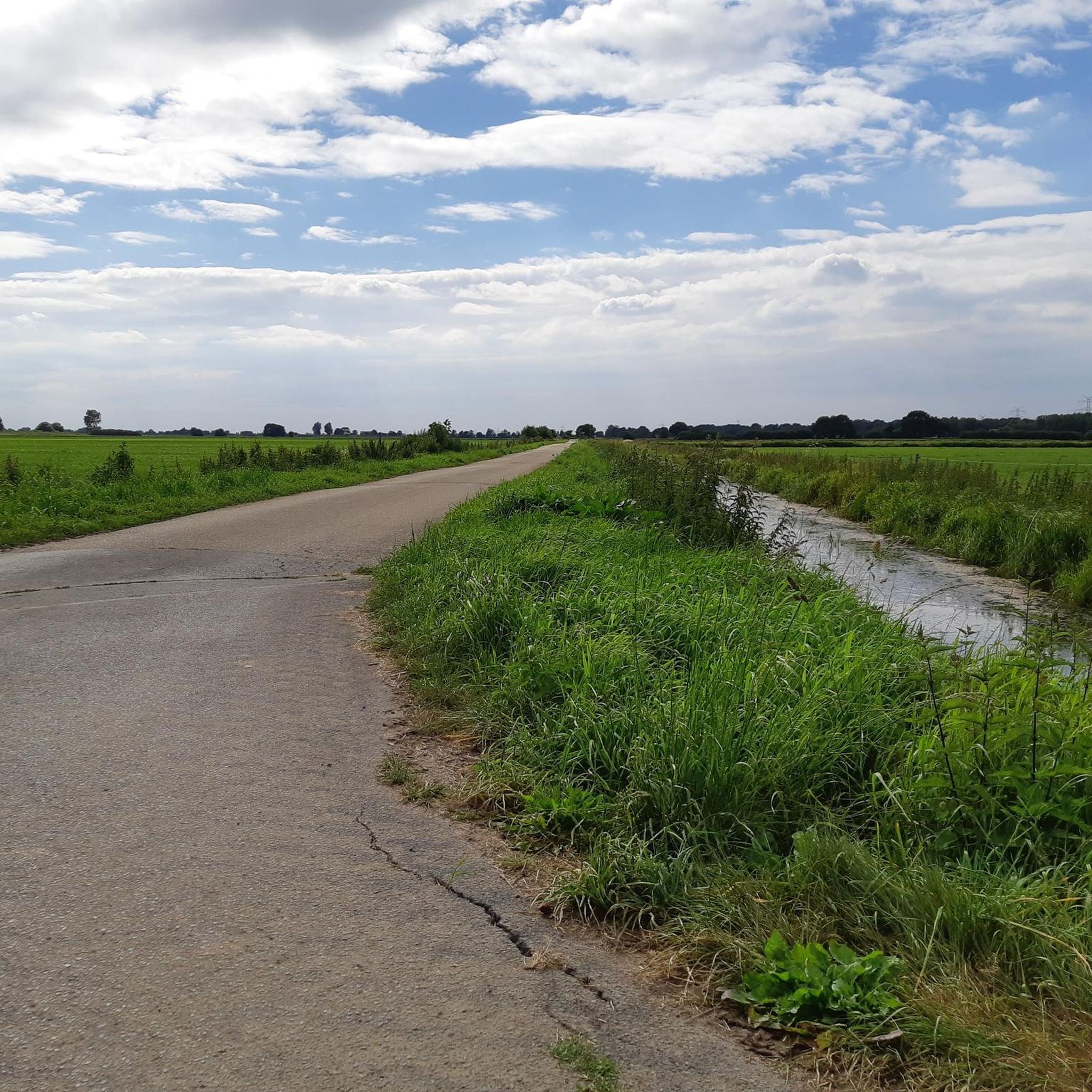
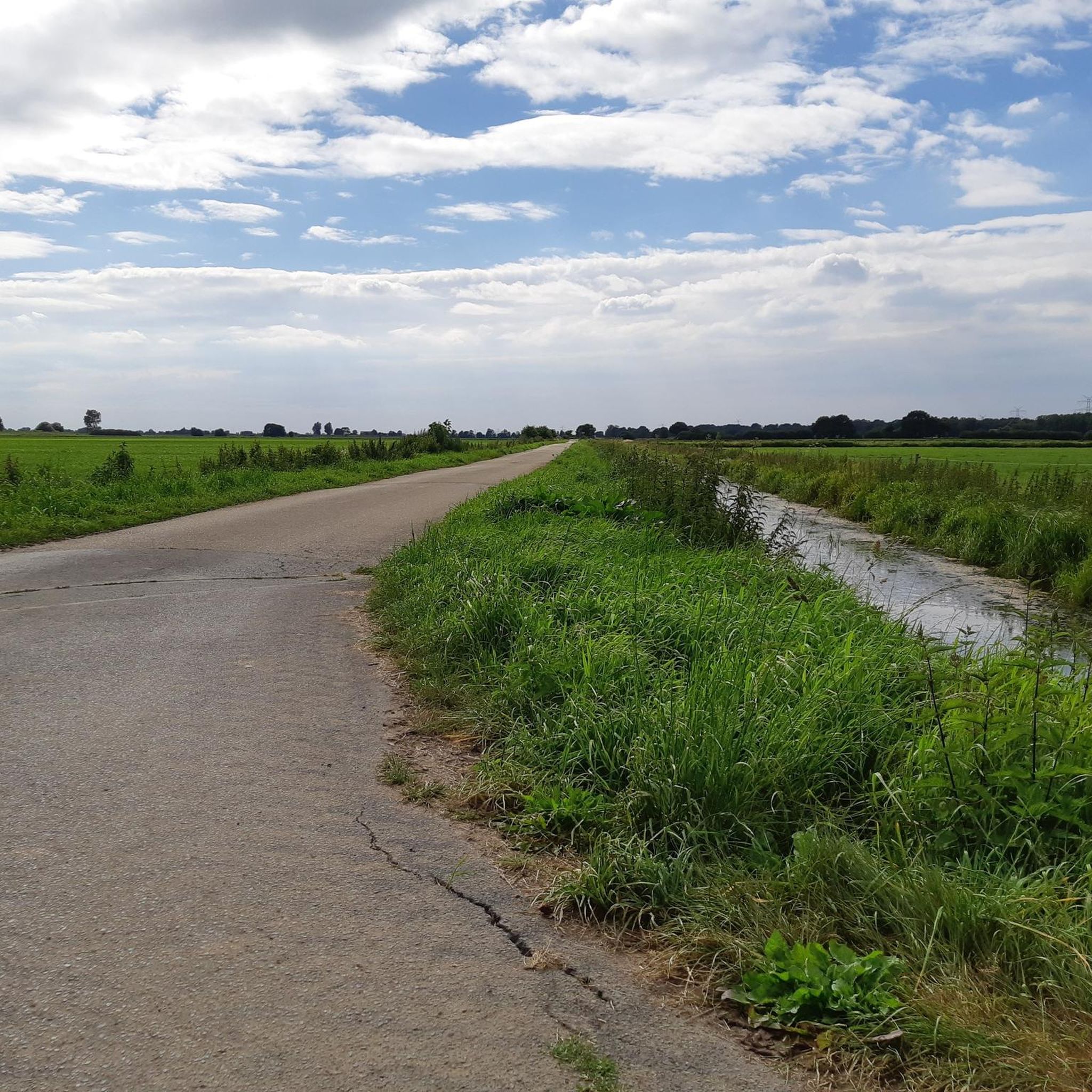
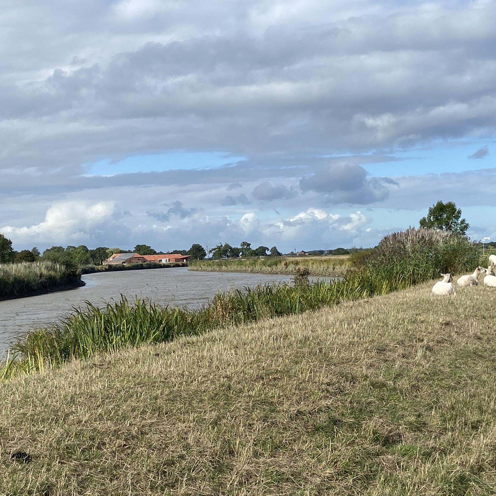
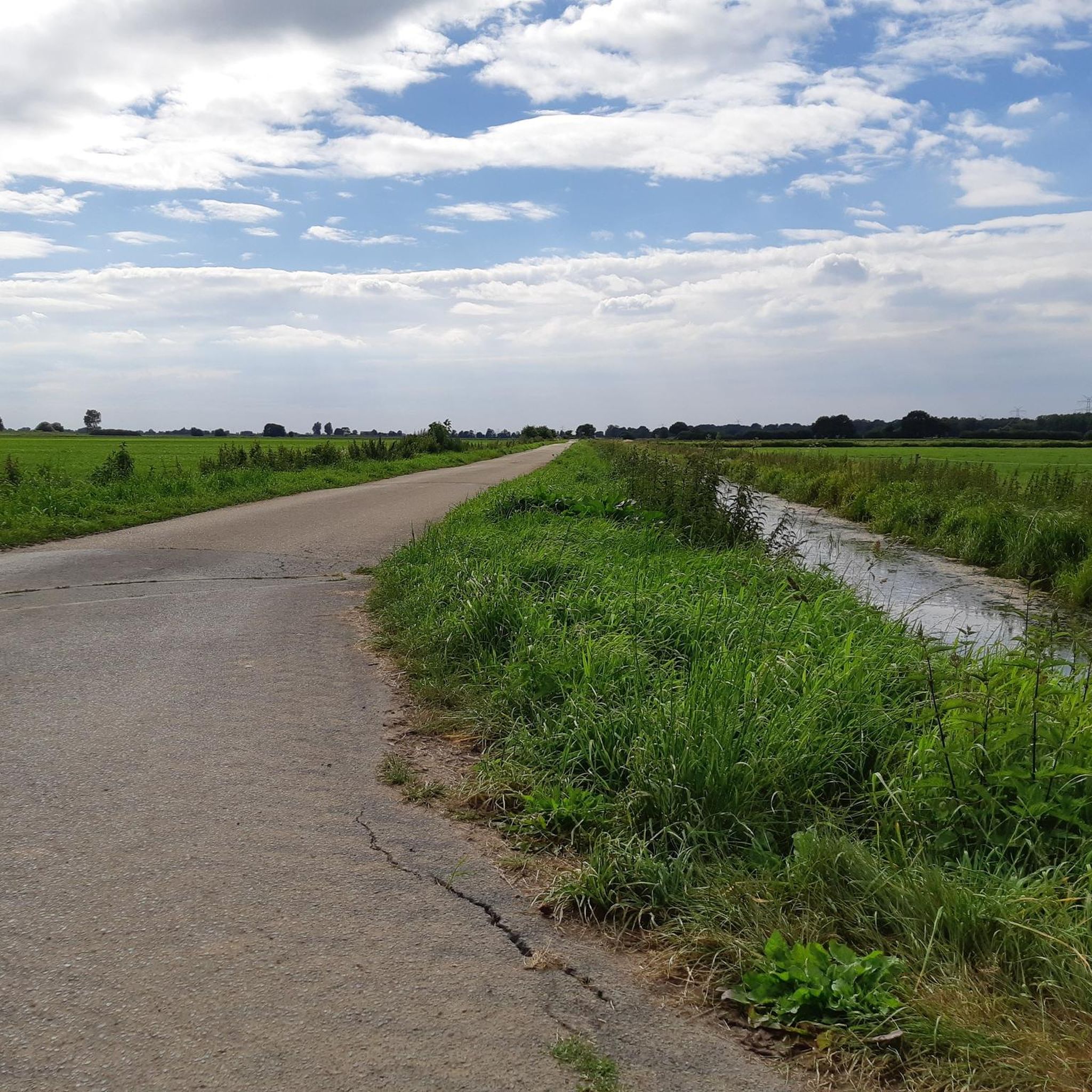
Hiking around Filsum offers exploration through flat, green farming communities, expansive meadows, and fields. The region is characterized by its "Dreistromland" where the Ems, Leda, and Jümme rivers converge, providing serene riverine scenery. Hikers will encounter a network of small rivers and numerous windmills, adding historical and natural interest to the landscape. The terrain is generally flat, with minimal elevation changes.
Best hiking trails around Filsum
- The most popular hiking route is Prussian Border Marker – Old Wooden Bridge loop…
Last updated: July 12, 2026
4.5
(17)
58
hikers
Easy hike. Great for any fitness level. Easily-accessible paths. Suitable for all skill levels.
4.8
(9)
36
hikers
3.57km
00:54
0m
0m
Easy hike. Great for any fitness level. Easily-accessible paths. Suitable for all skill levels.

Sign up for free
4.3
(15)
26
hikers
9.78km
02:28
10m
10m
Moderate hike. Good fitness required. Easily-accessible paths. Suitable for all skill levels.
4.0
(2)
14
hikers
Easy hike. Great for any fitness level. Easily-accessible paths. Suitable for all skill levels.
4.5
(2)
11
hikers
4.25km
01:04
10m
10m
Easy hike. Great for any fitness level. Easily-accessible paths. Suitable for all skill levels.
Get access to more routes and recommendations from other explorers.
Sign up for free
Already have an account?
Our route recommendations are based on thousands of hikes, rides, and runs completed by other people on komoot.
Start today with a free account
Your next adventure awaits.
Login or Signup

Tips from the Community

The resort town of Detern offers plenty of green space, cycle paths along the Jümme, the Stickisee with its adjacent campsite, and Stickhausen Castle.
0
0

A stork's nest with a pair of storks, a nice resident gave me the tip: on Detern's website, at the very bottom of the page, you can watch the pair via webcam
1
0


The Stickhausen Castle The Stickhausen Castle has guarded the southeastern entrance to East Frisia since the mid-15th century. For more than two centuries, it was a military fortress, protecting East Frisia from enemy incursions from the east and south. Until 1885, it was the seat of the administration of the Stickhausen district. Since 2019, it has belonged to the Samtgemeinde Jümme.
4
0

The bridge over the Jümme .
0
0
The navigation sign "Anchoring prohibited"
0
0
The pumping station on the Jümme 🏡
0
0
Frequently Asked Questions
What kind of terrain can I expect when hiking around Filsum?
Filsum is characterized by its flat, green farming communities, expansive meadows, and fields. The region is known as the "Dreistromland" where the Ems, Leda, and Jümme rivers converge, offering serene riverine scenery. You'll find minimal elevation changes, making most trails relatively easy to navigate.
Are there many hiking trails available in the Filsum area?
Yes, the Filsum area offers a wide variety of hiking options. There are over 550 routes available, ranging from easy strolls through meadows to moderate excursions along riverbanks. Over 430 of these are considered easy, making it accessible for many different fitness levels.
Are there any circular hiking routes around Filsum?
Yes, many of the trails around Filsum are designed as loops, perfect for a round trip. For example, the Prussian Border Marker – Old Wooden Bridge loop from Detern is an easy 5.1 km route, and the Filsumer Moor loop from Lammertsfehn takes you through moorland over 3.6 km.
What natural features or landmarks can I see while hiking in Filsum?
The region is rich in natural beauty and historical sites. You'll encounter numerous windmills, picturesque riverbanks along the Ems, Leda, and Jümme, and vast meadows. Notable landmarks include Stickhausen Castle and the historic center of Filsum with its 17th-century half-timbered houses and the 13th-century St. Vitus Church. The Aper Tief nature reserve is also nearby, offering opportunities for birdwatching.
Are there any family-friendly hiking options in Filsum?
Absolutely. The generally flat terrain and numerous easy routes make Filsum ideal for family hikes. Trails like the Prussian Border Marker – Old Wooden Bridge loop from Detern are short and easy, perfect for families with children. Many paths offer open views and interesting sights like windmills, keeping younger hikers engaged.
Can I bring my dog on the hiking trails in Filsum?
Filsum's open landscapes and riverine paths are generally welcoming for dogs. While specific rules can vary by trail or nature reserve, most public paths through meadows and along rivers are suitable for leashed dogs. Always ensure your dog is under control, especially when passing through farming areas or near livestock.
What is the best time of year to go hiking in Filsum?
The spring and summer months are particularly pleasant for hiking in Filsum. In May, you can experience the unique 'Maypole Route South,' adorned with decorated maypoles. The warmer seasons also allow for canoeing on the Ems and Leda rivers, complementing your hiking experience. The flat terrain means trails are generally accessible year-round, but spring and summer offer the most vibrant scenery.
Are there any longer or more challenging routes for experienced hikers?
While Filsum is known for its gentle terrain, there are options for longer excursions. The Barge Pumping Station – Stickhausen Castle Tower loop from Velde is a moderate 9.6 km path traversing riverbanks. For a multi-day adventure, the Ems-Hunte-Weg long-distance hiking route passes through the region, offering stages that showcase the beautiful river landscape over a greater distance.
What do other hikers say about the trails in Filsum?
The hiking routes in Filsum are highly regarded by the komoot community, with an impressive average score of 4.6 stars from over 1,100 reviews. Hikers often praise the serene riverine scenery, the tranquility of the meadows and fields, and the historical charm provided by windmills and castles like Stickhausen Castle.
Is there parking available near the trailheads in Filsum?
Yes, parking is generally available in and around Filsum, particularly near popular starting points for trails and attractions. Many villages and points of interest will have designated parking areas for visitors. It's always advisable to check specific trailhead information on komoot for the most accurate parking details for your chosen route.
Can I reach hiking trails in Filsum using public transport?
Filsum and its surrounding communities are connected by local public transport, primarily buses. While some trailheads might be directly accessible, others may require a short walk from the nearest bus stop. For routes starting further afield, such as stages of the Ems-Hunte-Weg, public transport can connect you to towns like Leer, which serve as starting points.
Are there any historical sites to explore on a hike?
Yes, the region offers several historical points of interest. Beyond the historic center of Filsum with its ancient church and half-timbered houses, you can visit Stickhausen Castle, a significant landmark. The Stickhausen Castle – Stickhausen Castle Tower loop from Stickhausen is an easy route that takes you past this historical site.
Most popular attractions around Filsum

Get inspired with the komoot mobile app


Explore more
Browse the best Hikes in other regions.
