The best road cycling routes around Auburn
4.8
(62)
1,464
riders
66
rides
Road cycling around Auburn offers diverse landscapes, from rolling hills to scenic river valleys. The region features well-paved roads that traverse countryside views, including small farms and ranches. Cyclists can experience varying elevation gains, with options for less hilly terrain in some areas and more challenging climbs towards higher elevations. This environment provides a range of road cycling experiences.
Best road cycling routes around Auburn
- The most popular road cycling route is Green Valley loop, an easy 25.0 miles…
Last updated: October 2, 2026
4.7
(3)
25
riders
40.3km
01:43
270m
270m
The Green Valley loop offers a delightful road cycling experience through a mix of landscapes in King County, Washington. You'll navigate paved sections along the Cedar River Trail, transition to…
5.0
(1)
69
riders
71.9km
02:53
100m
100m
Moderate road ride. Good fitness required. Mostly well-paved surfaces and easy to ride.

5.0
(2)
40
riders
50.2km
02:11
410m
410m
Moderate road ride. Good fitness required. Mostly well-paved surfaces and easy to ride.
5.0
(3)
38
riders
Easy road ride. Great for any fitness level. Mostly well-paved surfaces and easy to ride.
5.0
(1)
24
riders
60.2km
02:36
450m
450m
Moderate road ride. Good fitness required. Mostly well-paved surfaces and easy to ride.
Get access to more routes and recommendations from other explorers.
Already have an account?
Our route recommendations are based on thousands of hikes, rides, and runs completed by other people on komoot.
Start today with a free account
Your next adventure awaits.


Tips from the Community

The King County Interurban Trail is a nearly 15‑mile paved trail following the former Puget Sound Electric Railway. It connects to the Green River Trail at both ends and passes through suburban and industrial zones, and open green spaces.
0
0

Duwamish Gardens Park is a small green space along the Duwamish River in Tukwila. It features native plantings, walking paths, benches, and a canoe/kayak launch, offering a peaceful spot to watch the river and local wildlife. Interpretive signs highlight the area's cultural and ecological history, including its importance to the Duwamish people.
1
0
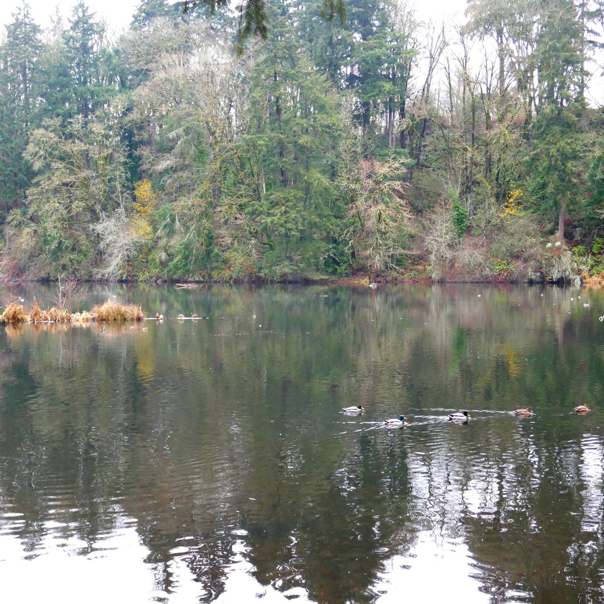
The Green River Natural Resources Area (GRNRA), just east of Van Doren's Landing Park in Kent, is a hidden gem along the Green River Trail, especially for birders, cyclists, and walkers who enjoy a mix of wetland, prairie, and river views all in one place. Originally developed as a stormwater treatment facility, the area now serves a dual purpose: it filters urban runoff and provides essential habitat for wildlife. The result is a 304-acre patchwork of restored wetlands, ponds, and native plantings that feel far more wild than their suburban surroundings suggest. From the trail, especially near Van Doren’s Landing, you’ll see viewing platforms and side paths leading into the heart of the GRNRA. Expect to spot herons, ducks, red-winged blackbirds, and—if you're lucky—bald eagles or osprey. Interpretive signs explain the ecology and the city’s innovative use of the land. It’s also a great stop for a break if you’re riding—plenty of benches and low-traffic paths make it easy to linger. Let me know if you want a good loop or spur trail that includes both the Green River Trail and the GRNRA.
0
0

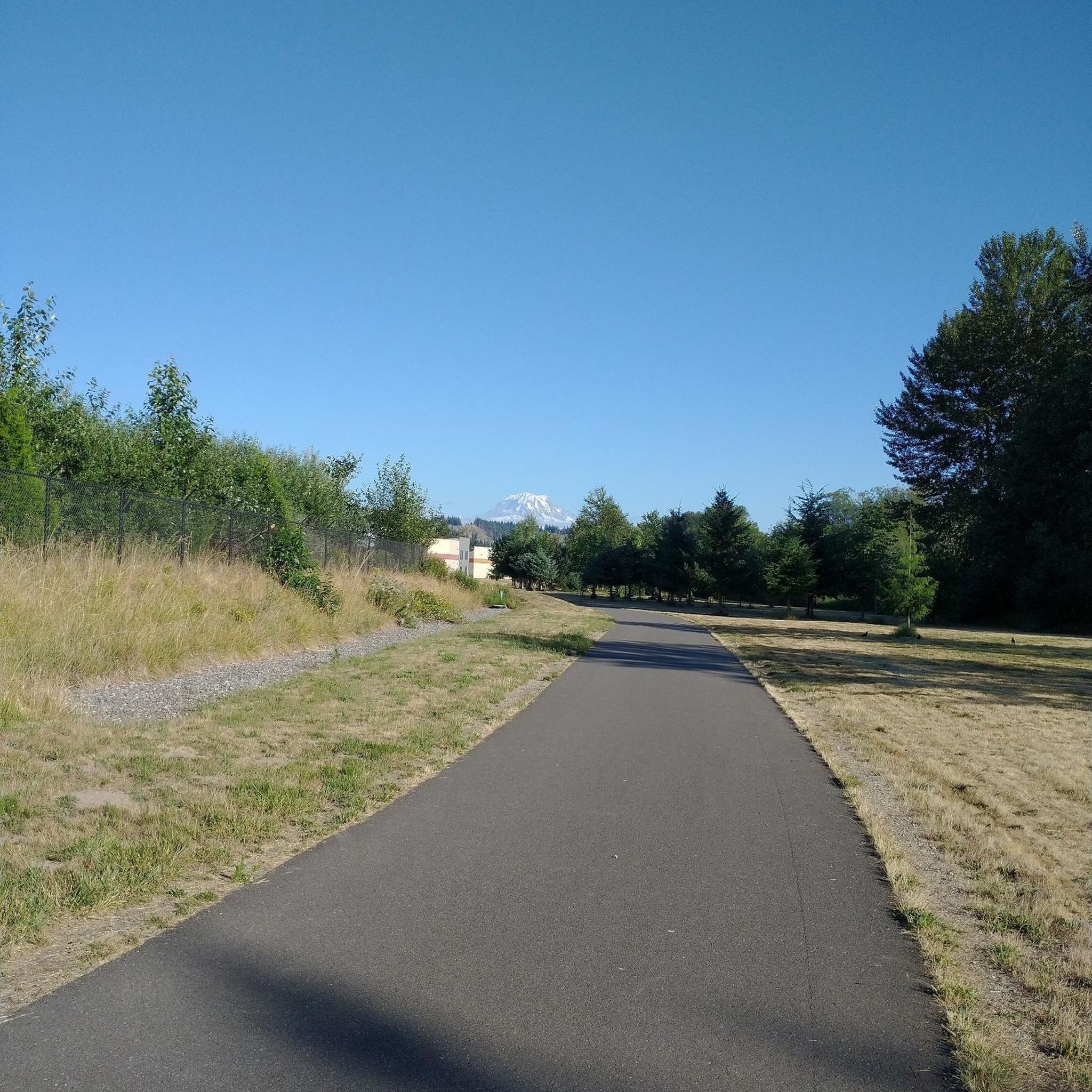
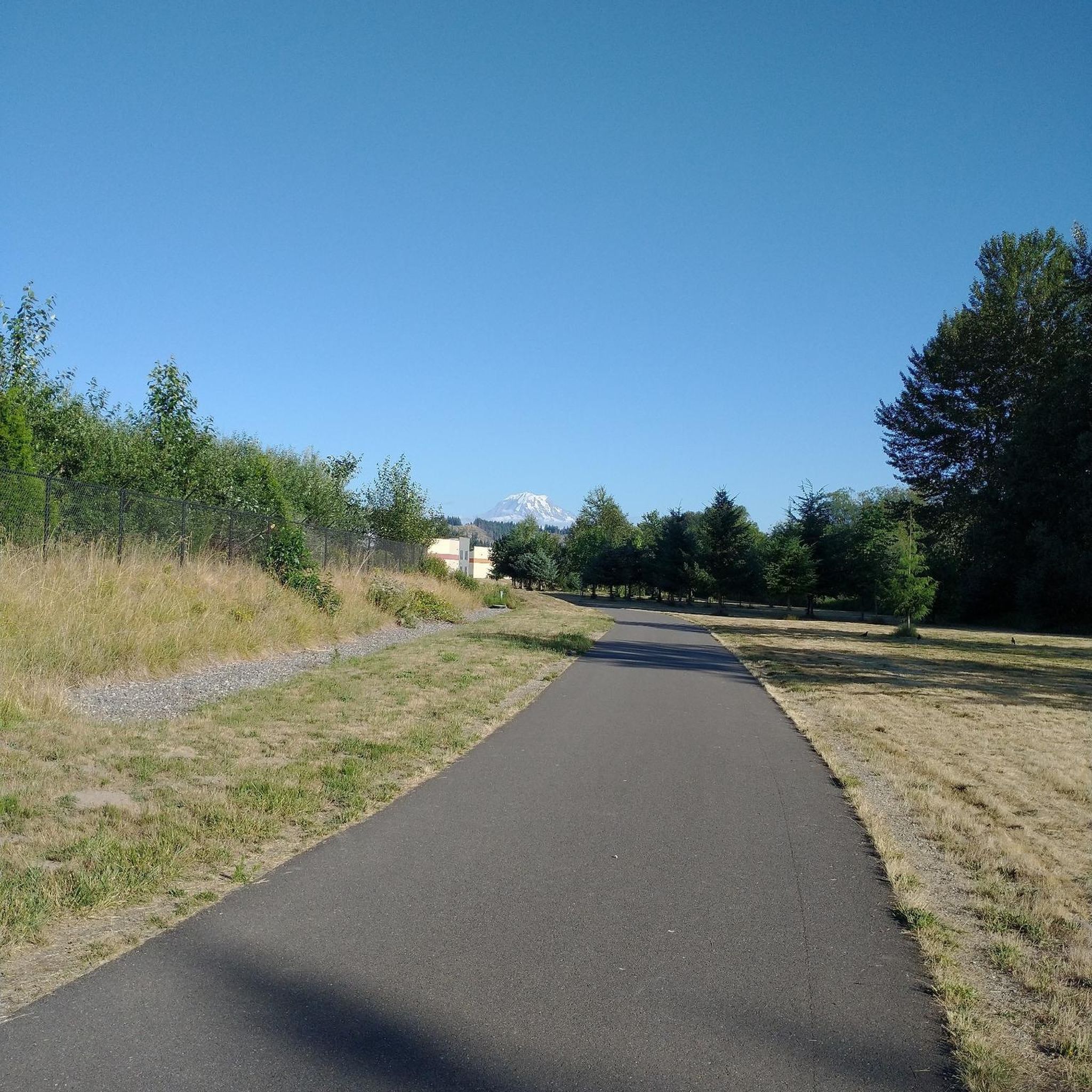
This park sits on a peninsula, surround by the Green River on three sides, and offer picnic areas, hiking trails, and fishing opportunities. But the highlight is the spectacular view of Mt. Rainier you get on clear days.
0
0
On clear days from this spot in Briscoe Park on the Green River Trail, you get great views of Mount Rainier. This is a nice spot to snap some photos before continuing on your hike.
0
0
This 10+ acre park along the Green River is great for families. There's a playground and climbing structure for the kids as well as plenty of grassy fields for picnics. The park is also a great place to get on the Green River Trail, which runs for nearly 20 miles across King County.
0
0

This is a fantastic trail that follows the Green River, meandering back and forth down the Kent valley. This particular spot has recently been revamped and is a great park!
0
0

Just finished biking the trail, and let me tell you, it’s the holy grail of biking routes! It’s like stumbling upon a treasure trove of 8 Costco hotdogs. Would highly recommend for some epic gains! 🚴♂️💨
0
0
Frequently Asked Questions
How many road cycling routes are available around Auburn?
Auburn offers a wide selection of road cycling routes, with over 70 different tours available. These routes cater to various preferences, from easy, flat rides to more challenging ascents through the region's diverse landscapes.
What kind of terrain can I expect on road cycling routes in Auburn, and are there options for different skill levels?
Road cycling in Auburn features diverse terrain, including rolling hills, scenic river valleys, and open countryside. You'll find well-paved roads traversing small farms and ranches, with views of Folsom Lake and the distant Sierras. The region offers routes for all skill levels: 31 easy routes, 38 moderate routes, and 2 difficult routes, ensuring options for beginners and experienced cyclists alike. For less hilly options, consider routes in the Loomis Basin or Rocklin/Roseville areas, while those seeking significant climbs can venture towards Meadow Vista or Colfax.
Are there scenic viewpoints or notable landmarks along the road cycling routes in Auburn?
Yes, Auburn's road cycling routes offer numerous scenic viewpoints and landmarks. You can enjoy picturesque views around Folsom Lake and the Folsom Dam, or dramatic vistas within the American River Canyon. Historic Downtown Auburn, with its 19th-century architecture, shops, and museums, is also a notable point of interest. Routes like the Green Valley loop offer a relaxed ride through pleasant scenery, while the Southeast Green Valley Road – Flaming Geyser Hill loop from Auburn provides a mix of terrain with notable elevation gain and views.
What do other road cyclists enjoy most about road cycling in Auburn?
The komoot community highly rates road cycling in Auburn, with an average score of 4.5 stars from over 40 reviews. Cyclists frequently praise the diverse terrain, ranging from gentle river valleys to challenging hills, and the beautiful countryside views. Many appreciate the variety of routes that cater to different abilities, making it an ideal destination for both relaxed rides and more strenuous training.
Are there any family-friendly road cycling routes in Auburn?
Yes, Auburn offers several family-friendly road cycling routes, particularly those with less elevation gain and well-paved surfaces. The Green River Trail – King County Interurban Trail loop from Auburn is a great option, leading through varied landscapes with minimal elevation changes. For even gentler rides, consider areas like the Loomis Basin or Rocklin/Roseville, which provide flatter terrain suitable for families.
What are some of the natural attractions I can see near the road cycling routes?
Beyond the routes themselves, Auburn is rich in natural attractions. You can explore the dramatic American River Canyon, enjoy the expansive Folsom Lake, or visit the Traylor Ranch Nature Reserve and Bird Sanctuary near Penryn. The Auburn State Recreation Area also offers over 100 miles of trails winding through the American River canyons. For specific highlights, consider visiting Lake Wilderness or the Green River Trail.
Where can I find parking for road cycling routes in Auburn?
Parking is generally available at various access points for road cycling routes around Auburn. Railhead Park is a good starting point, offering restrooms and access to the American River trail system. Many routes that start from Auburn itself will have street parking or designated parking areas nearby. For specific routes, it's always recommended to check the route details on komoot for suggested starting points and parking information.
Are there any long-distance road cycling routes for experienced riders?
Auburn is known as the 'Endurance Capital Of the World™' and offers challenging long-distance routes. For experienced riders seeking significant elevation gain, consider venturing towards Meadow Vista, Colfax, and beyond. The American River Canyon – Colfax Hill loop, for example, is a hard road ride covering nearly 94km with 1,510m of elevation gain. Another moderate option with substantial distance is the Southeast Green Valley Road – Quiet and Smooth loop from Auburn, which is over 64 km long.
What is the best time of year for road cycling in Auburn?
Auburn offers good road cycling conditions for much of the year. Spring and fall generally provide the most pleasant temperatures for riding. Summers can be warm, especially in the afternoon, so early morning rides are often preferred. Winters are typically mild, allowing for cycling, though conditions can vary, and it's always wise to check local weather forecasts.
Are there any loop trails for road cycling in Auburn?
Yes, many of Auburn's road cycling routes are designed as loops, allowing you to start and end at the same point. Examples include the Green Valley loop and the Lake Meridian Park – Soos Creek Trail loop from Alvista Lake Meridian. These circular routes are convenient for exploration, bringing you back to your starting point without needing to retrace your path.
Can I find places to eat or drink near the cycling routes?
Auburn's Historic Downtown area offers a variety of shops, restaurants, and cafes within walking distance, making it a great place to refuel before or after a ride. While specific bike-friendly cafes directly on every route might vary, the general area is well-equipped with amenities. For routes passing through or near towns like Loomis Basin or Rocklin/Roseville, you'll also find options for food and drink.
Most popular attractions around Auburn

Get inspired with the komoot mobile app


Explore more
Browse the best Road cycling routes in other regions.
