The best road cycling routes around Buckley
5.0
(4)
163
riders
4
rides
Road cycling routes around Buckley, Washington, are characterized by a landscape that blends river valleys, open farmland, and forested areas. The region features the extensive Foothills Trail, a mostly paved multi-use path, offering diverse scenery. Cyclists can experience views of Mount Rainier and ride alongside the Carbon River, with routes generally featuring moderate elevation gains.
Best road cycling routes around Buckley
- The most popular road cycling route is Rest Stop by the Carbon River – Foothills Trail loop from Foothills…
Last updated: July 2, 2026
5.0
(1)
80
riders
53.9km
02:25
300m
300m
Moderate road ride. Good fitness required. Some segments of this route may be unpaved and difficult to ride.
5.0
(1)
51
riders
24.5km
00:58
110m
110m
Easy road ride. Great for any fitness level. Mostly well-paved surfaces and easy to ride.

Sign up for free
15
riders
27.6km
01:18
180m
180m
Easy road ride. Great for any fitness level. Mostly well-paved surfaces and easy to ride.
5.0
(1)
11
riders
22.6km
01:10
140m
140m
Moderate road ride. Great for any fitness level. Some segments of this route may be unpaved and difficult to ride.
5.0
(1)
6
riders
33.0km
01:36
310m
310m
Moderate road ride. Good fitness required. Mostly well-paved surfaces and easy to ride.
Our route recommendations are based on thousands of hikes, rides, and runs completed by other people on komoot.
Start today with a free account
Your next adventure awaits.
Login or Signup
Popular around Buckley

Tips from the Community

The Foothills Trail is a mostly paved 21-mile path from Puyallup toward Mount Rainier, perfect for walking, biking, and horseback riding. Enjoy views of Mount Rainier, wildlife, and historic sites like Melmont ghost town. Multiple access points make it easy to explore sections at your pace.
1
0

Love this bridge. Would love it more if the trail actually crossed over the old broken bridge just one tenth of a mile farther north...
0
0

This is a fantastic viewpoint along the river, and the paved section of trail here is easily done on a road bike.
0
0

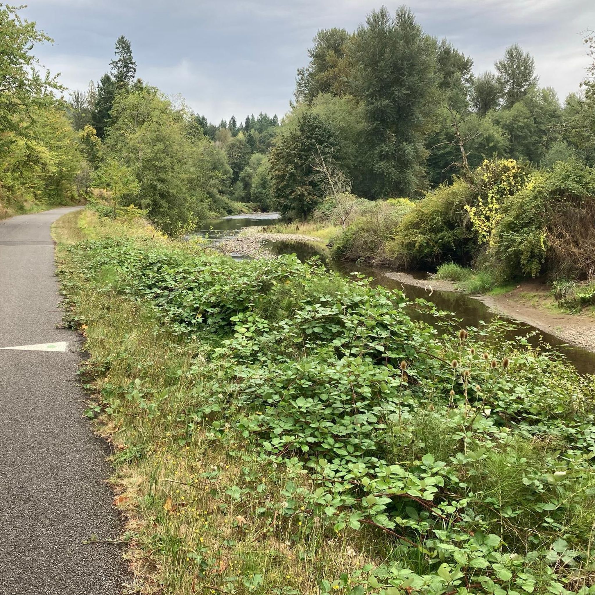
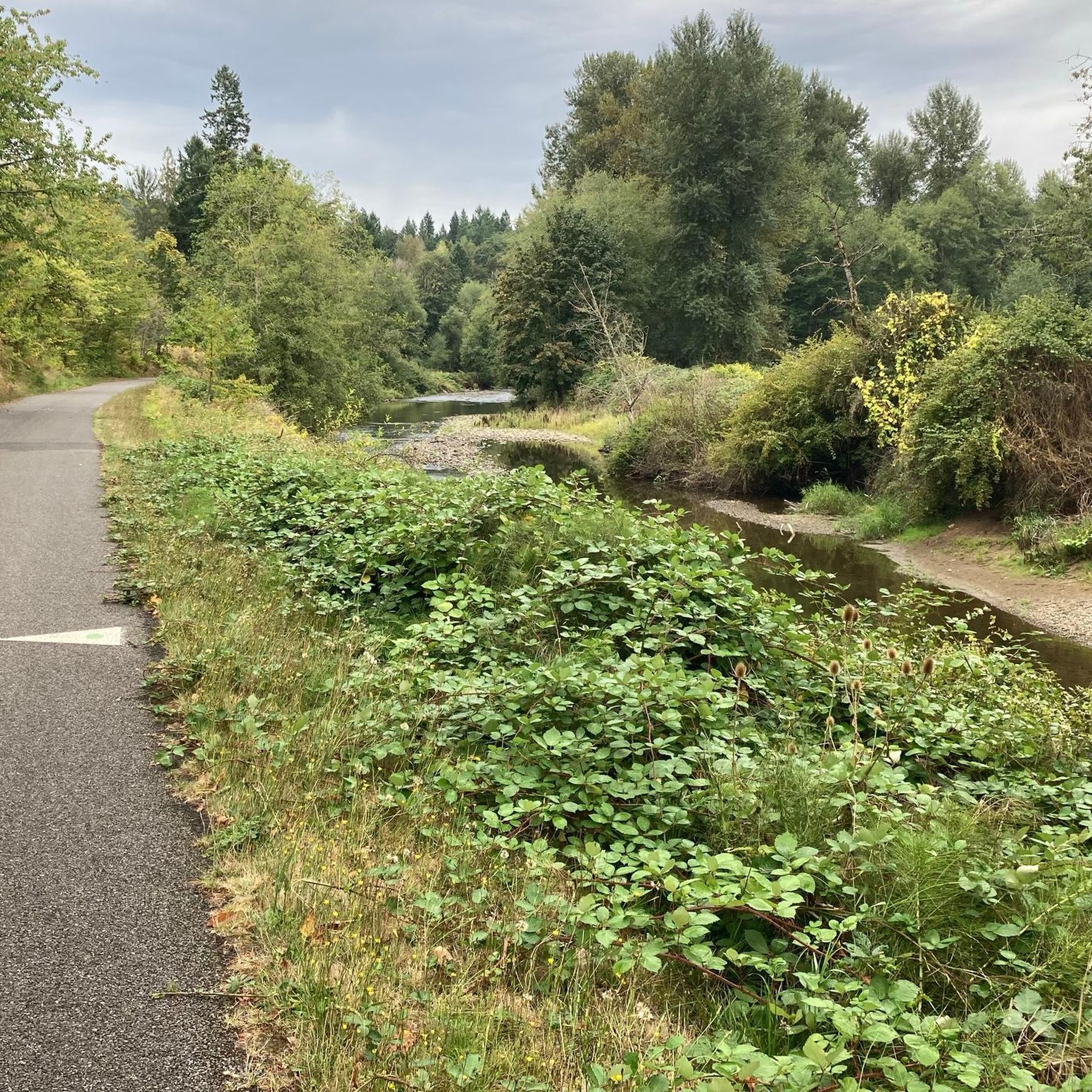
The Foothills Trail parallels the Carbon River for many miles, but your view is often obscured by foliage. Here you get a clear view of the river from the trail, as well as the verdant flora overhanging its banks.
0
0

A lovely curved wooden bridge that is just gorgeous and naturey
1
0
Very nice trail from just south of Sumner around a big loop through Orting and up to Buckley. The best section is a loop-de-loop S-curve to climb a hill between South Prairie and Buckley - very secluded and completely tree-lined. Once you get to Buckley, you need to turn around because there is a missing bridge to cross over into Enumclaw. It would be a welcome addition, as the highway is heavily trafficked with extremely fast, loud trucks who don't give much passing room. Proceed with care.
0
0

The Foothills Trail sits atop a historic railroad bed and snakes through the river valley southeast of Tacoma.
0
0

Entirely paved with restrooms and water at each trailhead. Watch out for pedestrians in more urban areas. Be sure to exit trail onto the highway (410) right before the cemetery in Buckley. There is a trestle missing and the signage doesn't indicate the trail is incomplete. There is a nice picnic table at the end of the trail and then ... nothing. You can pick the final Enumclaw portion of the trail up just past 244th Ave SE.
1
0
Frequently Asked Questions
How many road cycling routes are available around Buckley?
There are currently 5 road cycling routes detailed around Buckley, offering a range of distances and difficulties for cyclists to explore the region.
What kind of terrain can I expect on road cycling routes in Buckley?
Road cycling routes in Buckley primarily feature a blend of river valleys, open farmland, and forested areas. The extensive Foothills Trail, a major asset, is mostly paved and offers diverse scenery with generally moderate elevation gains. You'll find routes with gentle climbs and winding paths through varied terrain.
Are there easy road cycling routes suitable for beginners or families in Buckley?
Yes, Buckley offers easy road cycling routes perfect for beginners or families. For instance, the Rest Stop by the Carbon River – Foothills Trail loop from South Prairie is an easy 28.9 km ride. Another great option is the Roadbike loop from Middle Boise Creek Natural Area, an 18.8 miles (30.3 km) trail through rural landscapes.
Where can I find scenic viewpoints or natural landmarks along the road cycling routes?
Many routes offer picturesque views of Mount Rainier, especially along the Foothills Trail. You can also ride alongside the Carbon River, which provides clear views of the river and its verdant banks. The Foothills Trail also features a steel bridge over the White River, a scenic spot for photos. Heritage Park, located alongside the Foothills Trail, is another notable area.
Are there any circular road cycling routes in Buckley?
Yes, several routes around Buckley are designed as loops. Examples include the Foothills Trail – Foothills Trail loop from Enumclaw, a 53.9 km moderate path, and the Rest Stop by the Carbon River – Foothills Trail loop from Foothills Trailhead, a longer 76.5 km moderate route.
What is the best time of year for road cycling in Buckley?
While cycling is enjoyable for much of the year, many locals particularly enjoy cycling in August. The region's climate generally offers pleasant conditions for road cycling during the warmer months, allowing for clear views of Mount Rainier and comfortable rides along the trails.
Are there options for longer, more challenging road cycling routes?
For those seeking a longer and more challenging ride, the Rest Stop by the Carbon River – Foothills Trail loop from Foothills Trailhead is a moderate 76.5 km route with nearly 600 meters of elevation gain, taking approximately 3 hours and 20 minutes to complete. This route offers a substantial workout while still providing scenic views.
Where can I park when planning a road cycling trip in Buckley?
A key access point for the Foothills Trail, a central feature of Buckley's cycling, is at the Foothills Trailhead within Heritage Park. This is a good starting point for many routes and likely offers parking facilities. For more detailed information on parking, you might find local resources helpful, such as those provided by Visit Rainier.
Can I bring my dog on road cycling routes in Buckley?
The Foothills Trail is a multi-use path, and while Heritage Park (a key access point) has an off-leash dog area, specific regulations for dogs on bikes along the entire trail may vary. It's generally advisable to keep dogs on a leash on multi-use trails and ensure they are comfortable with cycling environments. Always check local signage for specific rules.
What do other road cyclists enjoy the most about road cycling in Buckley?
The road cycling experience in Buckley is highly rated by the komoot community, with an average score of 5.0 stars. Cyclists often praise the diverse scenery, including views of Mount Rainier and rides alongside the Carbon River, as well as the well-maintained Foothills Trail which provides a smooth and enjoyable ride through varied landscapes.
Are there any cafes or pubs near the road cycling routes in Buckley?
Buckley offers a quiet and charming small-town experience. While specific cafes or pubs directly on the trails are not detailed, the town itself provides amenities. For local establishments, exploring the town center or checking resources like Visit Rainier's 'Best of Buckley' might offer suggestions for places to refuel after your ride.
Most popular routes around Buckley

Get inspired with the komoot mobile app


Explore more
Browse the best Road cycling routes in other regions.
