The best running trails around Blaine
5.0
(6)
176
runners
22
runs
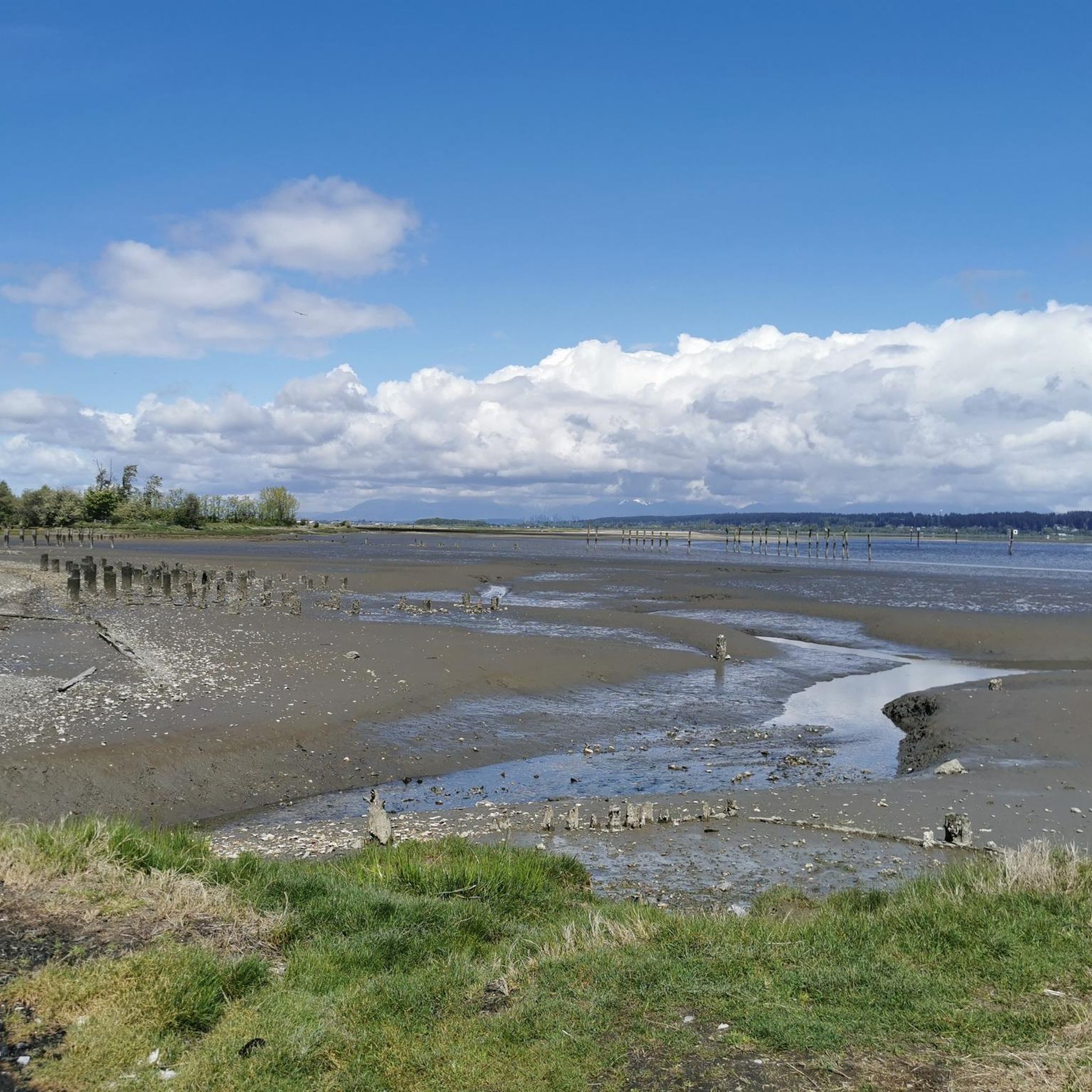
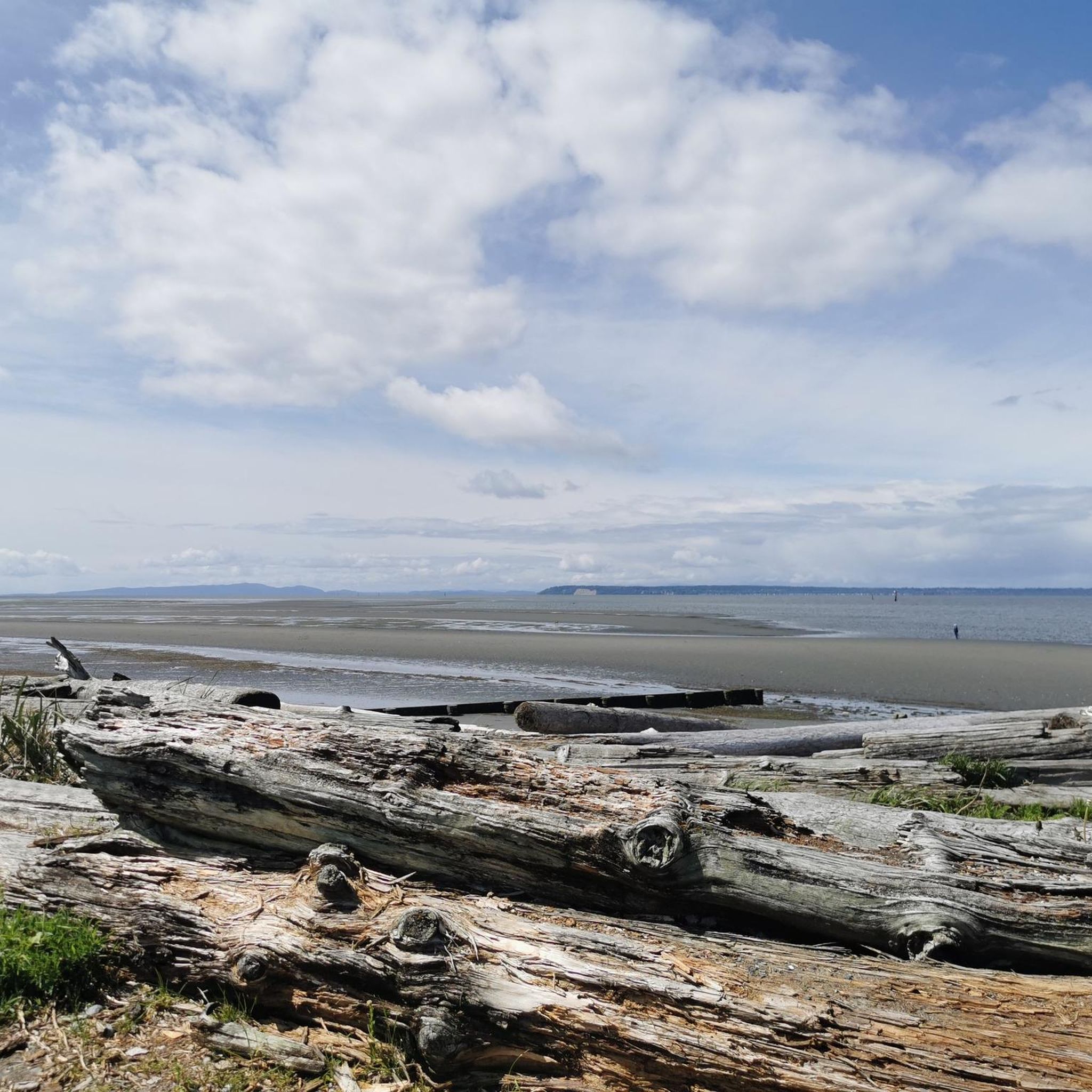
Blaine jogging routes popular for their varied terrain, from saltwater coastline to extensive park systems. The region features numerous trails, many offering views of the Salish Sea and distant Mount Baker. Joggers can find routes ranging from flat, paved paths to those with moderate elevation gains, catering to different fitness levels.
Best jogging routes around Blaine
- The most popular jogging route is Langley Speedway loop from Campbell Valley Regional Park, an 8.4 miles (13.6 km) trail that takes 1 hour 29 minutes to complete, offering a moderate challenge through parkland.
- Another top favourite among local runners is Southmere Village Park – Semiahmoo Trail loop from White Rock, a moderate 6.5 miles (10.4 km) path. This route follows the Semiahmoo Trail, providing scenic views.
- Local runners also love the Running loop from Campbell Valley Regional Park, a 3.1 miles (4.9 km) trail leading through park scenery, often completed in about 31 minutes.
- Jogging around Blaine is defined by coastal paths, park trails, and varied terrain with views of the Salish Sea. The network offers options for different ability levels, from easy strolls to more challenging runs.
- The routes in Blaine are highly rated by the komoot community with an average score of 5.0 stars from 5 reviews. More than 180 runners have used komoot to explore Blaine's varied terrain.
Last updated: October 8, 2026
5.0
(1)
53
runners
13.3km
01:29
120m
120m
Moderate run. Good fitness required. Mostly paved surfaces. Suitable for all skill levels.
11
runners
10.5km
01:07
100m
100m
Moderate run. Good fitness required. Mostly paved surfaces. Suitable for all skill levels.

5.0
(2)
9
runners
4.92km
00:31
40m
40m
Easy run. Great for any fitness level. Mostly paved surfaces. Suitable for all skill levels.
10
runners
7.02km
00:44
10m
10m
Moderate run. Good fitness required. Mostly paved surfaces. Suitable for all skill levels.
5
runners
19.8km
02:09
230m
230m
Hard run. Very good fitness required. Mostly paved surfaces. Suitable for all skill levels.
Get access to more routes and recommendations from other explorers.
Already have an account?
Our route recommendations are based on thousands of hikes, rides, and runs completed by other people on komoot.
Start today with a free account
Your next adventure awaits.
Popular around Blaine
Tips from the Community

Chantrell Park is a peaceful park with beautiful mature trees, nature trails, and birdwatching opportunities. The walking trails here are shaded, great for getting out on a hot day. There are also patches of well-maintained, mowed lawns.
0
0
Huntington Park is a family-focused neighbourhood park with a great children's playground designed specifically for toddlers and young kids ages two to five. The playground was renovated in 2021. The park has mellow walking paths and serves as the western anchor of the area's shared green corridor.
0
0

Shaggy Mane Trail is an 11-kilometre loop that pairs wide-open park scenery with steep climbs in and out of the valley. It is shared with horseback riders, so hikers should give way when meeting horses, and expect a few muddy stretches in wetter seasons.
0
0

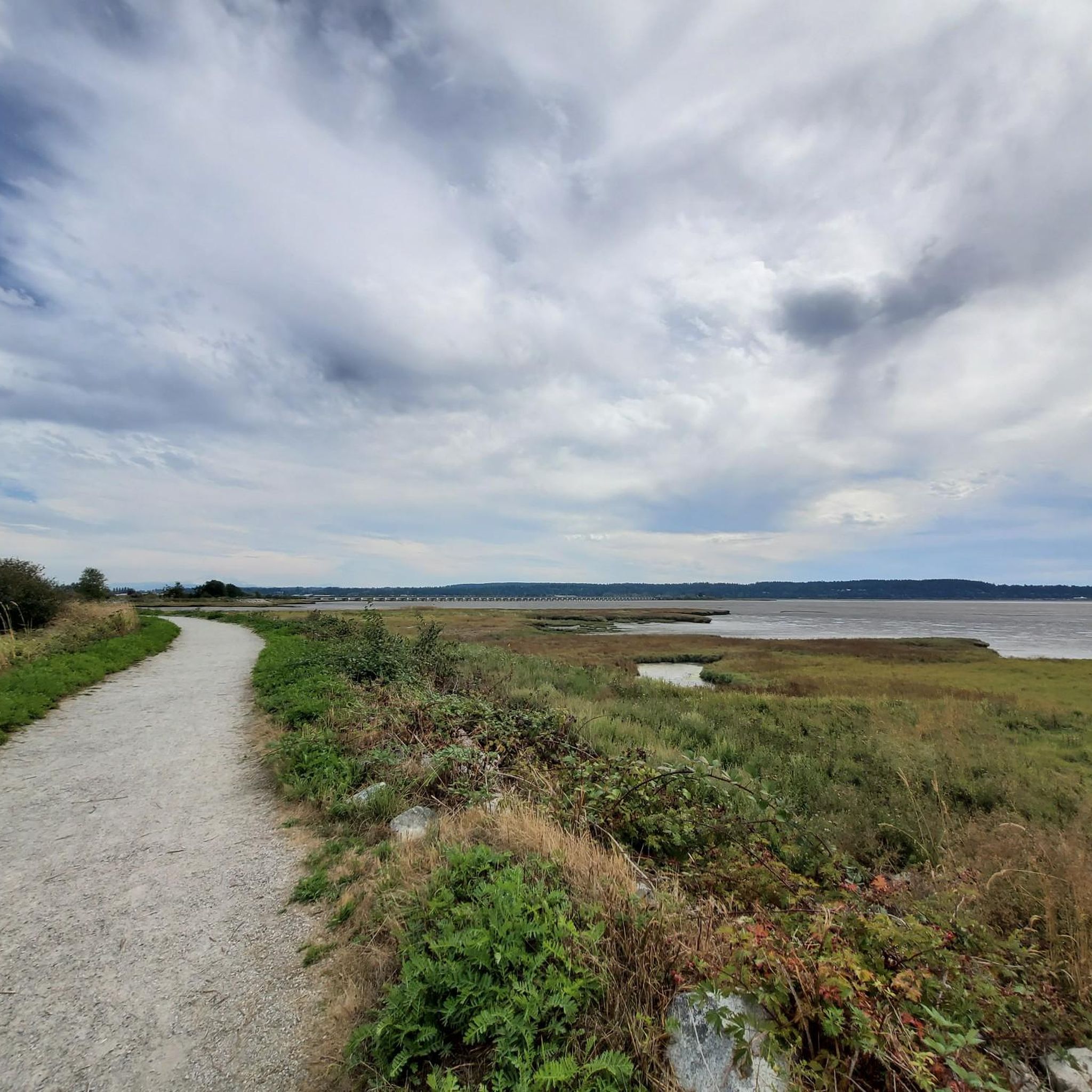
The Nicomekl Greenway is a well kept, multi-use trail that traces the banks of its namesake river. The path is mostly flat and is a good option for families or other groups of mixed ability levels.
0
0
This spot along the Nicomekl Greenway gives you a great view over the river to the opposite bank. It's a tranquil spot on the edge of a golf course with plenty of greenery around you.
0
0

Chickadee Trail winds through the shaded forest of Sunnyside Acres Urban Forest beneath a canopy of Douglas-fir and alder trees. The easy trail is known for its birdlife, especially chickadees, and offers a quiet walk through one of South Surrey’s best-preserved urban forests. Along this part of the trail you can also spot a large moss-covered boulder dotted with licorice ferns. This is a glacial erratic, a rock carried here thousands of years ago by the glacier that once covered the region before dropping it as the ice retreated.
0
0
This section of the Chickadee Trail shows how the forest is actively managed to protect its health. In 2004, Douglas-fir trees in this area were removed to contain laminated root rot, a disease that spreads through tree roots and causes them to decay. The clearing allowed more sunlight to reach the forest floor, encouraging plants such as salmonberry to thrive. Today the more open understory attracts a variety of birds, including chickadees, wrens, and dark-eyed juncos.
0
0
The Sunnyside Acres Urban Forest protects about 140 hectares of coastal forest in Surrey. Around 4 kilomtres of winding trails run beneath a dense canopy of Douglas fir and other native trees, creating a quiet, shaded place for walking and cycling. Despite being surrounded by residential neighbourhoods, the forest feels surprisingly secluded and supports a variety of wildlife, including birds and black-tailed deer. It’s a peaceful green space and one of South Surrey’s most popular nature walks.
0
0
Frequently Asked Questions
How many running routes are available in Blaine?
Blaine offers a diverse selection of over 25 running routes. These range from easy, flat paths to more challenging trails with moderate elevation gains, catering to various fitness levels.
What kind of terrain can I expect on Blaine's jogging trails?
You'll find a variety of terrain in Blaine, from paved paths along the saltwater coastline to natural trails through lush parks. Many routes offer stunning views of the Salish Sea, and some even provide glimpses of Mount Baker. The area is known for its blend of coastal scenery and well-maintained park trails.
Are there any family-friendly jogging routes in Blaine?
Yes, Blaine has several options suitable for families. The region's flat terrain and beautiful waterside views make it appealing for all ages. Routes like the Running loop from Campbell Valley Regional Park are relatively short and easy, perfect for a family outing.
Which running routes offer the best scenic views or landmarks?
Many routes in Blaine boast beautiful scenery. The Southmere Village Park – Semiahmoo Trail loop from White Rock follows the Semiahmoo Trail, providing scenic views. You can also explore areas like Semiahmoo Park, which features panoramic trails overlooking Drayton Harbor and Semiahmoo Bay. The Peace Arch at Peace Arch Historical State Park is another iconic landmark you might encounter on trails in that area.
Are there any dog-friendly running trails in Blaine?
Blaine is generally welcoming to outdoor enthusiasts with dogs. Many of the park and trail systems, such as those around Campbell Valley Regional Park, are suitable for running with your canine companion. Always ensure your dog is on a leash and you clean up after them, respecting local regulations.
What do other runners say about jogging in Blaine?
The running routes in Blaine are highly rated by the komoot community, with an average score of 5.0 stars from 5 reviews. Runners often praise the diverse terrain, from coastal paths to park trails, and the beautiful views of the Salish Sea. Over 180 runners have already used komoot to explore the area.
Are there circular running routes available in Blaine?
Yes, Blaine offers several excellent loop options for runners. For instance, the Langley Speedway loop from Campbell Valley Regional Park is a popular circular route. Another great option is the Semiahmoo Trail loop from Semiahmoo Town Centre, which provides a scenic circular experience.
What is the best time of year to go running in Blaine?
Blaine offers enjoyable running conditions throughout much of the year. Spring and summer provide pleasant temperatures and lush scenery, ideal for coastal and park runs. Fall brings beautiful foliage, while winter can offer crisp air and fewer crowds, though some trails might be wet. Always check local weather conditions before heading out.
Are there any easy or beginner-friendly jogging paths in Blaine?
Absolutely. Blaine has several easy routes perfect for beginners or those looking for a relaxed run. The Running loop from Campbell Valley Regional Park is an easy 3.1-mile trail. The Peace Portal Community Trail is also highlighted as a wide, popular path suitable for easy jogging.
Where can I find parking for Blaine's running trails?
Many of Blaine's parks and trailheads offer designated parking areas. For example, you can typically find parking at Campbell Valley Regional Park for routes like the Langley Speedway loop. Similarly, areas around Semiahmoo Park and Birch Bay State Park, such as for the Birch Bay State Park Beach loop, usually have parking facilities. It's always a good idea to check specific park information before your visit.
What attractions are near the running routes in Blaine?
Beyond the trails themselves, Blaine offers several attractions. You can visit the iconic Peace Arch at the U.S.-Canada border, explore the public beaches and promenade at Semiahmoo Park, or enjoy the easy beach access at Birch Bay State Park Beach. The White Rock Pier and Waterfront is also a notable nearby point of interest.
How long are the typical running routes in Blaine?
Running routes in Blaine vary in length to suit different preferences. You can find shorter loops, such as the Running loop from Campbell Valley Regional Park at about 3.1 miles (4.9 km). There are also longer, more moderate options like the Langley Speedway loop, which spans approximately 8.4 miles (13.6 km).
Most popular routes around Blaine
Most popular attractions around Blaine

Get inspired with the komoot mobile app


Explore more
Browse the best Running Trails & Routes in other regions.
