The best road cycling routes around Nokesville
3.8
(7)
183
riders
22
rides
Road cycling around Nokesville, Virginia, is characterized by diverse landscapes, including rolling hills, agricultural lands, and a mix of woodlands and open meadows. The region offers varied and picturesque backdrops for cycling, with routes often traversing gentle inclines and descents. Key features include the scenic Lake Brittle and the expansive Bull Run Regional Park, providing both water views and historic scenery. Conway Robinson Memorial State Forest also contributes to the area's natural appeal with its mixed woodlands.
Best road cycling…
Last updated: June 29, 2026
13
riders
28.8km
01:12
130m
130m
Cycle the easy Lake Brittle loop in Prince William County, Virginia, a 17.9-mile paved route with scenic views of Lake Brittle.
114km
05:12
820m
820m
This difficult 70.6-mile road cycling loop through Hopewell Gap and Bull Run Regional Park offers challenging climbs and historic scenery.

Sign up for free
3.0
(1)
23
riders
46.8km
02:01
240m
240m
Moderate road ride. Good fitness required. Mostly well-paved surfaces and easy to ride.
11
riders
73.9km
03:27
580m
580m
Moderate road ride. Good fitness required. Mostly well-paved surfaces and easy to ride.
5
riders
48.6km
02:25
410m
410m
Moderate road ride. Good fitness required. Mostly well-paved surfaces and easy to ride.
Get access to more routes and recommendations from other explorers.
Sign up for free
Already have an account?
Our route recommendations are based on thousands of hikes, rides, and runs completed by other people on komoot.
Start today with a free account
Your next adventure awaits.
Login or Signup
Popular around Nokesville


Tips from the Community

Sooo beautiful and peaceful! Water is calm and easy. Great fun, very impressed with the facilities and options. Very busy but plenty of space on the lake so you never feel crowded.
1
1

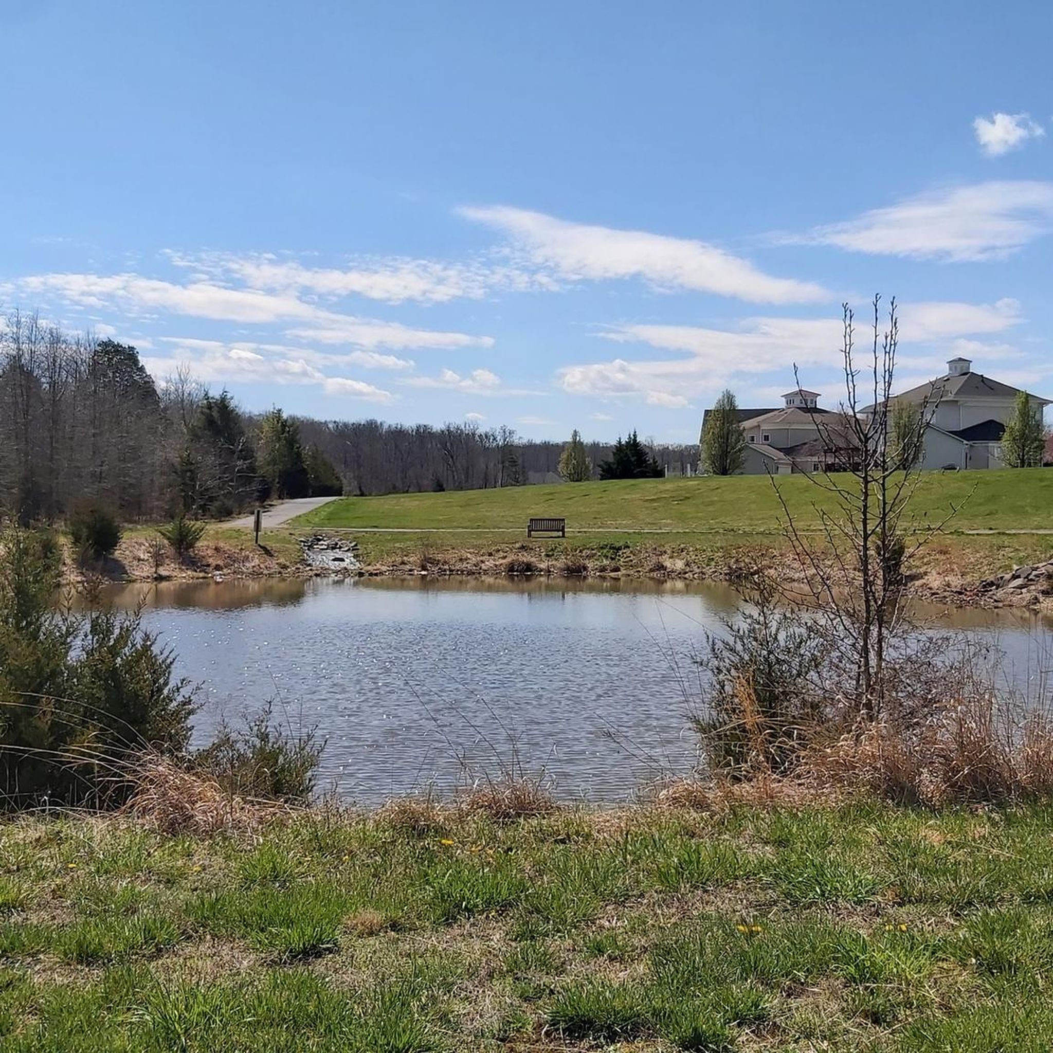
Nice view of Airlie Lake as you ride down Airlie Road. You will see the lake on one side and a nice smaller pond on the other side.
0
0


Nice climb out of The Plains headed toward Haymarket. Stiff rolling hills and the Hopewell gap crests before a nice fast descent.
0
0

Bull Run Regional Park and the entirety of northern Virginia is the site of a lot of Civil War history. As you bike the roads and highways in the neighboring towns and forest boundaries, keep your eyes peeled for Civil War sites and memorabilia on the sides of the roads.
0
0

The original stone bridge on the eastern edge of the Manassas Battlefield was destroyed in 1862 when the Confederate soldiers evacuated Northern Virginia. A replica was rebuilt in 1884 and is what still stands here today. There is a parking are and trail access nearby if you'd like to explore.
0
0
Hopewell Gap runs through the middle of the Bull Run Mountains. It had a strategic roll for military maneuvers during the Civil War, there was also a POW camp at nearby Camp Spindle. The road in/out has a grade of 13% so you can get a good climb or descent, depending on your direction of approach.
0
0
The original stone bridge on the eastern edge of the Manassas Battlefield was destroyed in 1862 when the Confederate soldiers evacuated Northern Virginia. A replica was rebuilt in 1884 and is what still stands here today. There is a parking area and trail access nearby if you'd like to explore.
0
0
Frequently Asked Questions
How many road cycling routes are available around Nokesville?
There are over 25 road cycling routes around Nokesville, catering to various skill levels. You'll find options ranging from easy loops to challenging climbs through diverse landscapes.
What kind of terrain can I expect on road cycling routes in Nokesville?
Nokesville's road cycling routes feature a diverse landscape, including rolling hills, expansive agricultural lands, and a mix of woodlands and open meadows. You can also find routes with scenic water views, such as the Lake Brittle loop, and more challenging climbs like the 13% grade at Hopewell Gap.
Are there any easy road cycling routes suitable for beginners in Nokesville?
Yes, Nokesville offers several easy road cycling routes. A great option for beginners is the Lake Brittle loop, which is an easy 17.9-mile (28.8 km) trail offering scenic water views. Another easy route is the Roadbike loop from Greenwich.
Where can I find challenging road cycling routes with significant elevation in Nokesville?
For a challenging ride with significant elevation, consider the Hopewell Gap & Bull Run Regional Park loop. This difficult 70.6-mile (113.6 km) route includes demanding climbs, such as the 13% grade at Hopewell Gap, and passes through historic scenery near the Manassas Battlefield.
What are some scenic landmarks or points of interest along Nokesville's road cycling routes?
Many routes offer scenic views of rolling agricultural lands and woodlands. You can also encounter historic sites, particularly around Bull Run Regional Park, which features a replica of an 1884 stone bridge. The Conway Robinson Memorial State Forest and Bristoe Station Battlefield Heritage Park are also notable attractions in the area.
Are there any family-friendly road cycling options in Nokesville?
While many routes are on public roads, the generally quieter agricultural roads and park areas can be suitable for families. For a more contained experience, local parks like Rollins Ford Park offer a bicycle pump track, and Nokesville Park provides walking trails that could be adapted for younger riders. Always assess traffic conditions for safety.
Where can I park my car when going road cycling in Nokesville?
Parking is generally available at various points along the routes, especially near parks and trailheads. For example, areas around Bull Run Regional Park or Lake Brittle often provide parking facilities. Always check local signage for specific parking regulations.
What do other road cyclists enjoy the most about road cycling in Nokesville?
The komoot community highly rates road cycling in Nokesville, with an average score of 3.6 stars. Reviewers often praise the diverse landscapes, from rolling hills and agricultural views to scenic water vistas, and the variety of routes available for different fitness levels.
Are there any loop road cycling routes in Nokesville?
Yes, many of the road cycling routes in Nokesville are designed as loops. Popular examples include the Lake Brittle loop, the Hopewell Gap & Bull Run Regional Park loop, and the Mount Pone loop from Broad Run.
What is the best time of year for road cycling in Nokesville?
The spring and fall seasons generally offer the most pleasant conditions for road cycling in Nokesville, with mild temperatures and beautiful scenery. Summer can be warm and humid, while winter can bring colder temperatures and potential for ice or snow, though some dedicated cyclists ride year-round.
Are there any cafes or pubs near the road cycling routes in Nokesville?
Nokesville's agricultural heritage means you'll find local establishments, including farms and wineries, that can offer refreshments. While specific cafes or pubs directly on every route may vary, the general area provides options for a post-ride stop. Consider exploring local businesses in Nokesville proper or nearby towns.
Can I access road cycling routes in Nokesville using public transport?
Public transport options directly to specific trailheads in Nokesville may be limited, as the area is more rural. It is generally recommended to travel by car to reach the starting points of most road cycling routes. For detailed public transport information, you may need to consult local transit authorities.
Most popular routes around Nokesville
Most popular attractions around Nokesville

Get inspired with the komoot mobile app


Explore more
Browse the best Road cycling routes in other regions.
