The best cycling routes around Nellysford
48
riders
3
rides
Touring cycling routes around Nellysford traverse a landscape characterized by significant elevation changes, mountain overlooks, and forested terrain. The region features challenging climbs and descents, offering expansive views of the surrounding mountains and valleys. Routes often connect various natural landmarks and scenic points, providing a demanding yet rewarding experience for touring cyclists.
Best touring cycling routes around Nellysford
- The most popular touring cycling route is Three Ridges Mountain Overlook – Wigwam Falls loop from Wintergreen, a 70.8 miles (114.0…
Last updated: September 27, 2026
35
riders
47.7km
03:06
630m
630m
Hard bike ride. Very good fitness required. Mostly paved surfaces. Suitable for all skill levels.
5
riders
38.3km
02:56
980m
980m
Hard bike ride. Very good fitness required. Mostly paved surfaces. Suitable for all skill levels.

3
riders
46.4km
03:41
890m
890m
Hard bike ride. Very good fitness required. Mostly paved surfaces. Suitable for all skill levels.
2
riders
30.5km
03:01
670m
670m
Hard bike ride. Very good fitness required. You may need to push your bike for some segments of this route.
3
riders
Hard bike ride. Very good fitness required. Mostly paved surfaces. Suitable for all skill levels.
Our route recommendations are based on thousands of hikes, rides, and runs completed by other people on komoot.
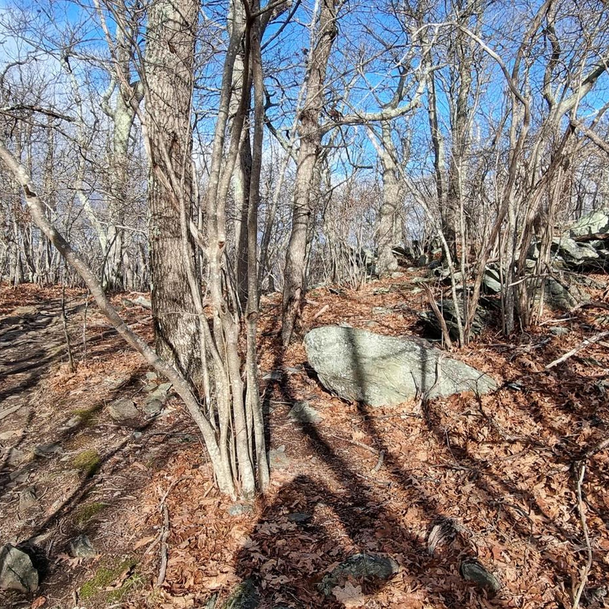
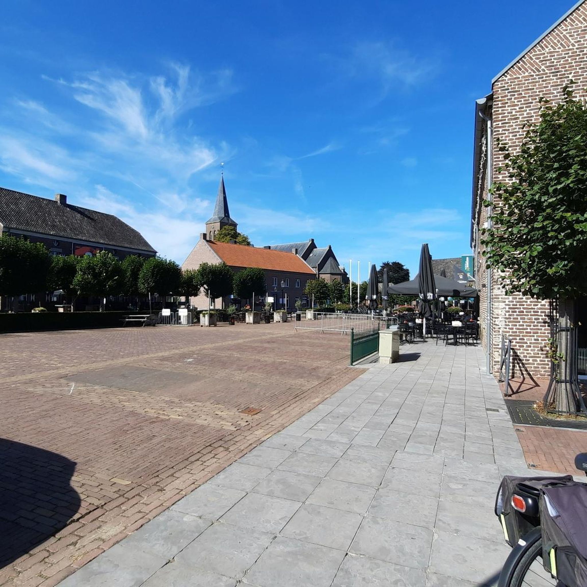

Tips from the Community

Get ready for a seriously tough but rewarding road bike climb up to Wintergreen from Beech Grove, heading towards the Devils Knob Overlook. The paved roads are in great condition for your road bike as you tackle this challenging ascent, gaining around 2,800 to 2,900 feet over about 7.2 to 7.3 miles to the resort summit area. With a steep average gradient of 7.6-7.7% and pitches hitting well into the double digits, this climb is a relentless grind through forested mountainside. As you make your way up, you'll get glimpses of the valley below, and reaching the Devils Knob Overlook near the top rewards your effort with expansive views of the surrounding Blue Ridge Mountains landscape.
0
0

The Trans America Bicycle Trail or US Bicycle Route 76, is a nationwide 4,228 mile cross-country biking trail that passes through Virginia's Blue Ridge. There are twelve sections and a portion of Section 12 winds through Virginia's Blue Ridge mountains. It goes from Christiansburg, north through Botetourt County and then on to Lexington before connecting with the Blue Ridge Parkway. It finishes on the Virginia coast.
0
0

Bald Mountain is a 3250 ft high grassy peak with views of Saint’s Mary Wilderness. The bald is reached after 4.5 km of hiking and is a great place to rest and appreciate the expansive views. This is one of the best overlooks in the vicinity due to its wonderful views, so enjoy it! This bald is also not the most popular one in GWNF, so you might find some quietness there.
0
0

Completed in 1858 by the Virginia Central Railway, The Crozet Tunnel is 4,273 feet long and at the time the longest tunnel in the United States. The Railway used the tunnel until 1944 and now it serves hikers and cyclists as a trail connecting nearby recreational areas.
0
0

Located at Milepost 1.5 and at an elevation of 2,148 feet on the Blue Ridge Parkway, Rockfish Valley Overlook is a more popular stop than the nearby Afton Overlook. The Rockfish Valley Overlook is a little more than 200 feet higher in elevation and offers a wide open view of Rockfish Valley with a mountainous backdrop.
0
0
Located just 0.2 miles into the parkway, Afton Overlook is the first official overlook on the Blue Ridge Parkway. Like many of the overlooks of the parkway, this view is of the nearby town. As you climb and descend through the mountains, you get many more views of the network of valleys, rivers, and towns that help make up this unique region of the country. The Blue Ridge Parkway is a 469 mile paved highway through the states of Virginia and North Carolina. The road is extremely popular for cyclists, cars, and motorcycles, so you should always exercise caution biking on the roadways. Being maintained by the National Park Service, the Blue Ridge Parkway is known for its overlooks and access to natural and wilderness areas. Only paved roads (no paths or trails) are open to bikes within the boundaries of the parkway, and you can expect to see other visitors at most overlooks, trailheads, and campgrounds. Biking any section of the Blue Ridge Parkway offers an immersion into Southern Appalachia. Taking on the entire road in a multi-day push is an extreme undertaking for serious cyclists; that being said, any section of the parkway can be doable for cyclists with some road biking experience and the right gear.
1
0
The Sherando Lakes are commonly referred to as "the jewels of the Blue Ridge Mountains." The lower lake is much bigger than the upper lake, but both have their draws. There are a lot of recreational amenities surrounding the lakes, and there are also a number of different hiking trails that you can connect to for longer day hikes and overnight trips.
0
0
The Slacks Overlook Trail peers over the 20-minute Cliff area on the Blue Ridge Parkway. There are great views of the Copelands Rocks to the south and Upper Sherando Lake to the north.
0
0
Frequently Asked Questions
Are the touring cycling routes in Nellysford suitable for beginners or families?
The touring cycling routes around Nellysford are primarily designed for experienced cyclists due to significant elevation changes, challenging climbs, and descents. All routes listed in this guide are rated as difficult, making them less suitable for beginners or young families seeking an easy ride.
What is the best season for touring cycling in Nellysford?
The best seasons for touring cycling in Nellysford are typically spring and fall. During these times, temperatures are moderate, and the natural scenery, especially the mountain overlooks and forested areas, is particularly vibrant or colorful. Summer can be warm, and winter may bring colder temperatures and potential for ice or snow on higher elevations.
Where can I find parking for touring cycling routes in Nellysford?
While specific parking information isn't provided for each route, most touring cycling routes in Nellysford begin from established trailheads or accessible points. It's advisable to check the starting point of your chosen route, such as the Three Ridges Mountain Overlook – Wigwam Falls loop from Wintergreen, for available parking options nearby.
Are there any scenic viewpoints or natural attractions along the touring cycling routes?
Yes, the routes in Nellysford are known for their scenic beauty. You can expect expansive views of mountains and valleys. Notable viewpoints and natural attractions include Ravens Roost Overlook, Three Ridges Mountain Overlook, and Hanging Rock. Some routes, like the Three Ridges Mountain Overlook – Wigwam Falls loop from Wintergreen, also feature waterfalls like Shamokin Falls.
What kind of terrain can I expect on the touring cycling routes?
The touring cycling routes in Nellysford are characterized by mountainous terrain with significant elevation changes. You will encounter challenging ascents and descents, often through forested areas, offering a demanding yet rewarding experience with panoramic views.
Are there any circular touring cycling routes available?
Yes, several touring cycling routes in Nellysford are designed as loops. Examples include the Ravens Roost Overlook – Three Ridges Mountain Overlook loop from Dripping Rock, the Trout Pond – Fork Mountain Overlook loop from South Fork Rockfish River, and the Slacks Overlook Trail – Lower Sherando Lake loop from B&R Grocery.
What do other touring cyclists enjoy most about cycling in Nellysford?
The touring cycling routes in Nellysford are highly rated by the komoot community, with an average score of 4.8 stars. Reviewers often praise the challenging nature of the routes, the expansive mountain overlooks, and the rewarding feeling of completing the demanding ascents and descents through the forested landscape.
How long do the touring cycling routes typically take to complete?
The duration of touring cycling routes in Nellysford varies depending on the distance and elevation. For example, the Three Ridges Mountain Overlook – Wigwam Falls loop from Wintergreen is a 70.8-mile route that typically takes around 10 hours, while the Ravens Roost Overlook – Shenandoah Valley loop from Wintergreen, at 28.6 miles, can be completed in about 3 hours 20 minutes.
Are there any less crowded touring cycling options in Nellysford?
While all routes offer a sense of natural immersion, for potentially less crowded options, consider routes that might be slightly shorter or start from less central points. The Slacks Overlook Trail – Lower Sherando Lake loop from B&R Grocery is a shorter, challenging route that might offer a more secluded experience compared to the longer, more popular loops.
What should I bring for a touring cycling trip in Nellysford?
Given the challenging nature and significant elevation changes of the routes, it's essential to bring appropriate gear. This includes a well-maintained touring bicycle, plenty of water and snacks, navigation tools, repair kit, and weather-appropriate clothing. Due to the mountainous terrain, be prepared for varying conditions and carry extra layers.
Are there any routes that offer panoramic views of the Shenandoah Valley?
Yes, some routes provide stunning panoramic views. The Ravens Roost Overlook – Shenandoah Valley loop from Wintergreen is specifically designed to offer expansive views of the Shenandoah Valley, making it a great choice for scenic vistas.
How many touring cycling routes are available in Nellysford?
There are 5 touring cycling routes detailed in this guide for the Nellysford area, all of which are rated as difficult and offer a challenging experience through mountainous terrain.
Most popular routes around Nellysford
Most popular attractions around Nellysford

Get inspired with the komoot mobile app


Explore more
Browse the best Cycling routes in other regions.
