The best road cycling routes around Huntington
5.0
(1)
145
riders
10
rides
Road cycling around Huntington offers diverse terrain, situated at the confluence of the Ohio and Guyandotte Rivers and bordered by the Appalachian Foothills. The region provides a mix of flatter riverfront routes and challenging climbs with rewarding descents through rolling hills. This landscape supports varied road cycling experiences, from urban paths to longer routes through natural areas.
Best road cycling routes around Huntington
- The most popular road cycling route is Appalachian Gap loop from Huntington Center, a 47.5 miles…
Last updated: October 2, 2026
41
riders
76.4km
04:09
1,400m
1,400m
Hard road ride. Very good fitness required. Some segments of this route may be unpaved and difficult to ride.
9
riders
50.3km
02:16
550m
550m
Moderate road ride. Good fitness required. Mostly well-paved surfaces and easy to ride.

5.0
(1)
3
riders
84.1km
04:01
980m
980m
Hard road ride. Very good fitness required. Some segments of this route may be unpaved and difficult to ride.
6
riders
26.7km
01:25
330m
330m
Moderate road ride. Good fitness required. Some segments of this route may be unpaved and difficult to ride.
4
riders
46.3km
01:59
330m
330m
Moderate road ride. Good fitness required. Mostly well-paved surfaces and easy to ride.
Get access to more routes and recommendations from other explorers.
Already have an account?
Our route recommendations are based on thousands of hikes, rides, and runs completed by other people on komoot.
Start today with a free account
Your next adventure awaits.


Tips from the Community

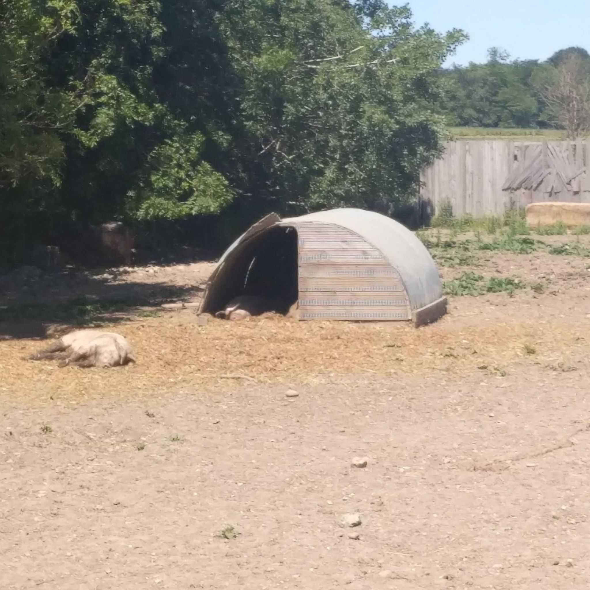
At this point along the tree-lined Hinesburg Road, the trees clear and you have views across Beaver Pond. The pond is a relatively small water body, with some marshy area and surrounded by trees. This is a particularly beautiful place in the fall colours.
1
0

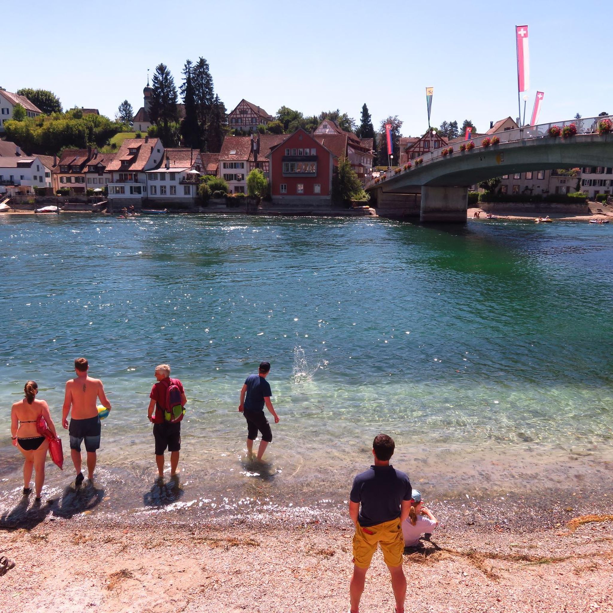
Located in the Green Mountains of Vermont, Appalachian Gap is a popular spot for cyclists, motorcyclists, and hikers. The views across the gap of the Champlain Valley & Adirondack Mountains are excellent.
0
0

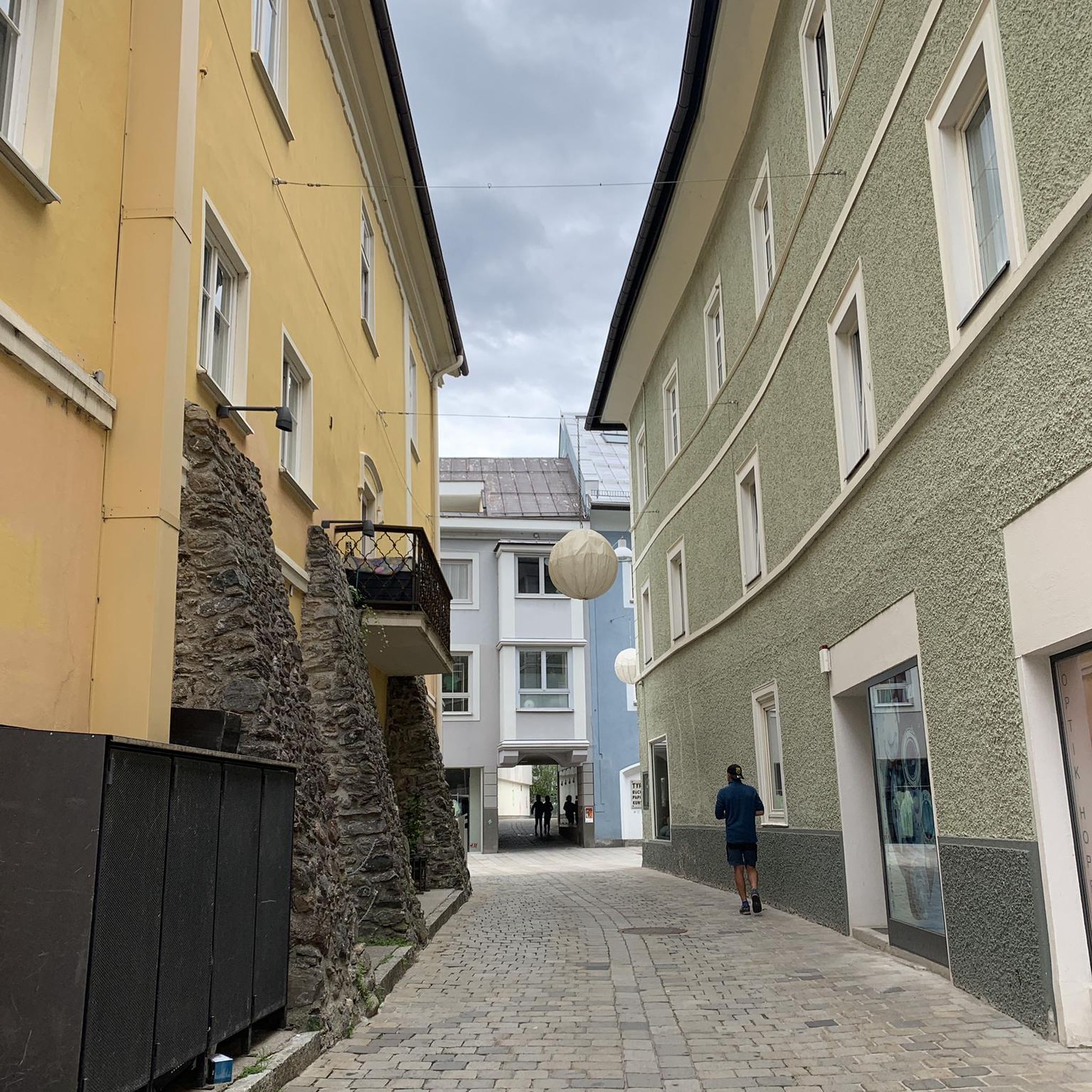
The Appalachian Gap marks the divide between two different drainage systems, although both eventually feed into Lake Champlain. In more practical terms, this gap is a wonderfully easy-access spot to enjoy views of Lake Champlain, the Champlain Valley, and the Adirondack Mountains.
1
0
Frequently Asked Questions
What kind of terrain can I expect when road cycling around Huntington?
Huntington offers a diverse road cycling experience. You'll find a mix of flatter, scenic routes along the Ohio River and its tributaries, ideal for more relaxed rides. For those seeking a challenge, the surrounding Appalachian Foothills provide rewarding inclines and descents with panoramic views, characteristic of the region's rolling hills.
Are there any easy or beginner-friendly road cycling routes in Huntington?
While many routes feature rolling hills, the Paul Ambrose Trail for Health (PATH) offers extensive, relatively flat, interconnected paths throughout Huntington, making it ideal for beginners or those seeking a leisurely ride. For a moderate introduction to the region's varied terrain, consider the Roadbike loop from Long Trail Parking Lot, which covers 31.3 miles.
Where can I find challenging road cycling routes with significant climbs?
The Appalachian Foothills provide excellent opportunities for challenging rides. The Appalachian Gap loop from Huntington Center is a demanding 47.5-mile route with over 1400 meters of elevation gain, offering a true test for experienced cyclists. Another option is the 52.2-mile Beaver Pond loop from Bolton Lower West parking, which also features substantial climbing.
What are some scenic highlights or natural features to look out for on road cycling routes?
Many routes offer views of the Ohio River and the lush greenery of the Appalachian Foothills. Ritter Park, a local gem, features beautiful rose gardens and is integrated into some urban cycling paths. While specific viewpoints are numerous, the general landscape of 'long and windy back roads' provides a consistently scenic backdrop for your rides.
Are there any circular road cycling routes available in the Huntington area?
Yes, many of the road cycling routes around Huntington are designed as loops, allowing you to start and end at the same point. Examples include the Appalachian Gap loop from Huntington Center and the Roadbike loop from Fred Johnson Wildlife Management Area, providing convenient options for exploration.
What is the best time of year for road cycling in Huntington?
The spring and fall months generally offer the most pleasant conditions for road cycling in Huntington, with moderate temperatures and vibrant foliage. Summers can be warm and humid, while winters can bring colder temperatures and potential for snow or ice, making some routes less accessible. Always check local weather forecasts before heading out.
Are there family-friendly cycling options in Huntington?
Absolutely. The Paul Ambrose Trail for Health (PATH) is an excellent choice for families, offering approximately 18.6 miles of interconnected, mostly flat paths suitable for all ages and skill levels. Ritter Park also features multi-use paths that are popular for leisurely family rides.
How many road cycling routes are available around Huntington?
Komoot features over 10 road cycling routes around Huntington, catering to various skill levels and preferences. These routes range from moderate to difficult, offering diverse experiences across the region's landscapes.
What do other road cyclists enjoy most about cycling in Huntington?
The komoot community highly rates road cycling in Huntington, with an average score of 5.0 stars. Reviewers often praise the diverse terrain, from scenic riverfront paths to challenging climbs in the Appalachian Foothills, and the well-maintained trail systems like the PATH.
Where can I find parking for road cycling routes in Huntington?
Many routes originate from or pass through areas with designated parking. For instance, the Roadbike loop from Long Trail Parking Lot suggests a starting point with parking. Additionally, parks like Ritter Park and Barboursville Park offer parking facilities that can serve as convenient access points for nearby routes or the Paul Ambrose Trail for Health.
Are there any longer road cycling routes for endurance training near Huntington?
For longer rides, the Beaver Pond loop from Bolton Lower West parking extends for 52.2 miles, offering a significant distance and elevation. Another option is the Appalachian Gap loop from Huntington Center, which is 47.5 miles long and features substantial climbing, ideal for endurance training.
Can I find less crowded road cycling routes in the Huntington area?
The Spring Valley/Northern Wayne County area is known among local cyclists for having some of the best road cycling with relatively low traffic and good road conditions. While specific routes vary, exploring this region can lead to quieter, more serene cycling experiences away from urban centers.

Get inspired with the komoot mobile app


Explore more
Browse the best Road cycling routes in other regions.
