The best running trails around East Charlotte
97
runners
17
runs
Jogging around East Charlotte offers a variety of routes through natural areas and local parks. The region features a mix of terrain, including paths around ponds and through areas with moderate elevation changes. These running routes provide opportunities to explore the local landscape, from open spaces to more wooded sections. The area's trails cater to different fitness levels, making it suitable for various running preferences.
Best jogging routes around East Charlotte
- The most popular jogging route is Burr Pond loop…
Last updated: July 6, 2026
8
runners
4.41km
00:32
170m
170m
The Mount Philo loop offers a dynamic jogging experience through Vermont's first state park, blending diverse terrain with stunning vistas. You'll navigate a mix of dirt paths, wooden steps, and…
6
runners
10.1km
01:03
70m
70m
Moderate run. Good fitness required. Mostly paved surfaces. Suitable for all skill levels.

Sign up for free
3
runners
14.4km
01:31
180m
180m
If you're craving a solid run through classic Vermont countryside, the Running loop from O'Neil Road Cemetery delivers. You'll traverse rolling hills and natural areas, soaking in the peaceful rural…
4
runners
11.9km
01:16
180m
180m
The "Sequin Covered Bridge loop from Raven Ridge Natural Area" offers a diverse jogging experience, blending the rugged beauty of a natural preserve with the pastoral charm surrounding a historic…
4
runners
12.3km
01:19
160m
160m
Moderate run. Good fitness required. Mostly paved surfaces. Suitable for all skill levels.
Get access to more routes and recommendations from other explorers.
Sign up for free
Already have an account?
Our route recommendations are based on thousands of hikes, rides, and runs completed by other people on komoot.
Start today with a free account
Your next adventure awaits.
Login or Signup

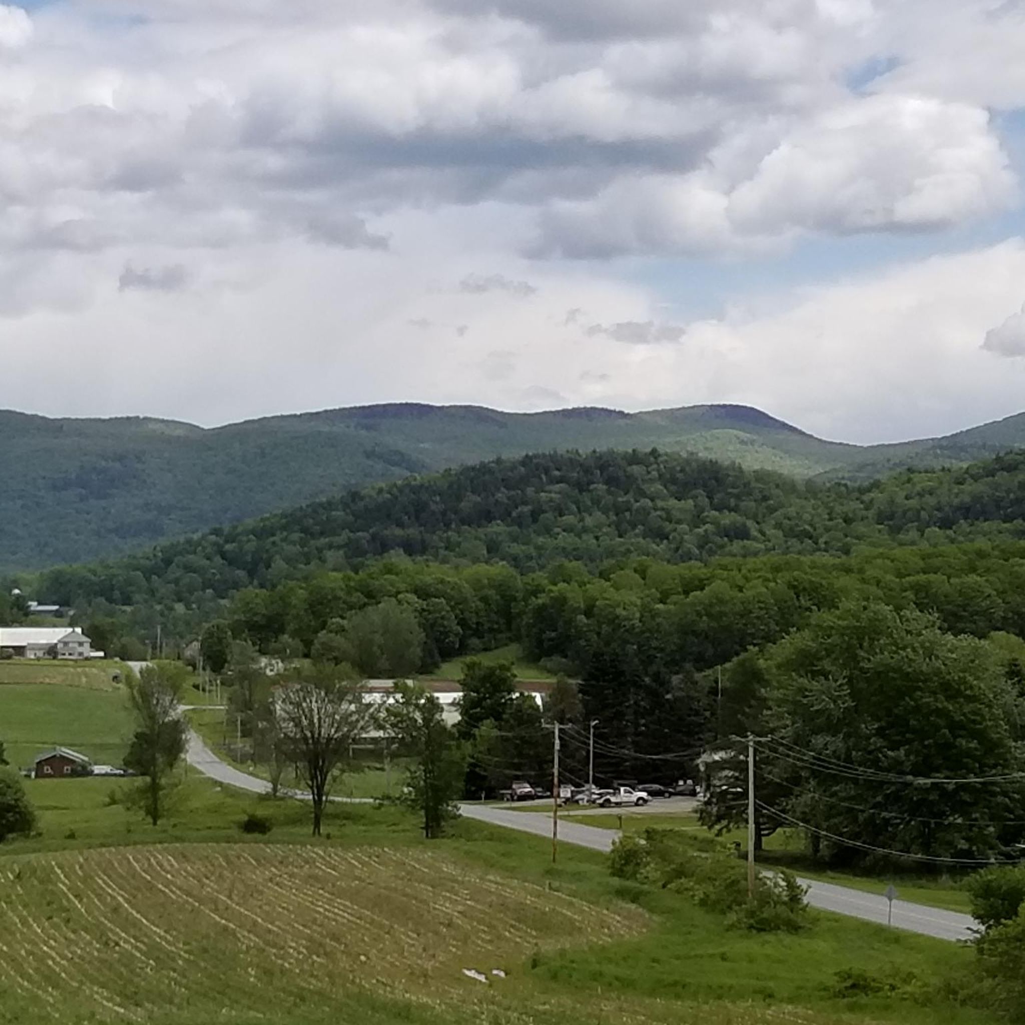
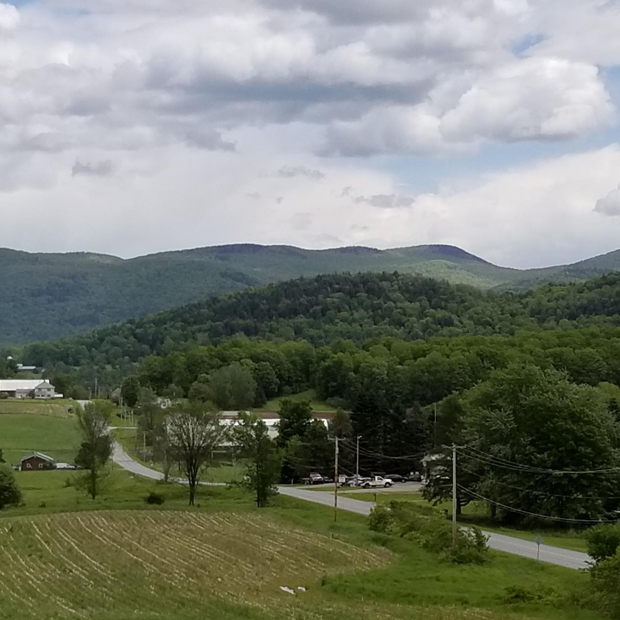

Tips from the Community

Sequin Covered Bridge, built in 1850, spans Lewis Creek and is one of Vermont’s historic wooden bridges. It is 70 feet long and features the traditional Town lattice design. The bridge, combined with the surrounding landscape, creates a scenic and enjoyable route for cycling.
0
0
Frequently Asked Questions
Are there easy running routes suitable for beginners in East Charlotte?
Yes, East Charlotte offers several routes suitable for beginners. For example, the area has 1 easy route out of 16 total running options. These trails often feature gentler terrain, making them ideal for those new to running or looking for a relaxed jog.
What kind of terrain can I expect on jogging routes in East Charlotte?
The jogging routes in East Charlotte feature a diverse mix of terrain. You'll find paths around ponds, through natural areas, and sections with moderate elevation changes. The region is known for its natural landscapes, state parks, and routes that incorporate features like covered bridges.
Are there any long-distance or challenging running trails in East Charlotte?
Absolutely. For those seeking a longer or more challenging run, East Charlotte has options. For instance, the Sequin Covered Bridge loop from Sequin Covered Bridge is a challenging 10.7-mile (17.2 km) trail that leads through diverse landscapes. There are 3 difficult routes among the 16 available.
Can I find circular running routes in East Charlotte?
Many of the running routes in East Charlotte are designed as loops, offering a convenient way to start and finish in the same location. An example is the Burr Pond loop from Shelburne, a scenic 6.3-mile (10.1 km) path around a pond.
What are some scenic points or landmarks I might see while running in East Charlotte?
East Charlotte's running routes often pass by or are near notable natural and historical landmarks. You could encounter the picturesque Holmes Creek Covered Bridge or the Historic Quinlans Covered Bridge. For natural beauty, consider routes near LaPlatte River Falls or enjoy views from Mount Philo State Park.
Are there running routes in East Charlotte that are suitable for families?
While specific 'family-friendly' designations aren't always explicit for running routes, many of the easier and moderate trails in East Charlotte can be enjoyed by families. Look for routes with less elevation gain and shorter distances, such as those around local parks or ponds, which often provide a pleasant environment for all ages.
Are dogs allowed on the running trails in East Charlotte?
Many natural areas and parks in East Charlotte are dog-friendly, though specific rules can vary by location. It's generally a good idea to keep dogs on a leash and clean up after them. Always check local signage or park regulations for the specific trail you plan to run with your dog.
Where can I find parking for running routes in East Charlotte?
Parking availability varies by route. Many trailheads, especially those in state parks or popular natural areas, offer designated parking lots. For example, routes like the Mount Philo State Park loop would typically have parking at the state park itself. For other routes, street parking or small pull-offs might be available near the starting point.
What is the best time of year to go running in East Charlotte?
East Charlotte offers enjoyable running conditions across multiple seasons. Spring and fall provide pleasant temperatures and beautiful scenery, with vibrant foliage in autumn. Summer is also popular, though it can be warmer. Winter running is possible, but trails may be snowy or icy, requiring appropriate gear.
Are there any running routes that pass by cafes or places to get refreshments?
While many routes in East Charlotte focus on natural settings, some trails might be close to small towns or villages where cafes and shops are available. It's always a good idea to check the map of your chosen route in advance to see if it passes through or near any populated areas with amenities.
What do other runners say about the trails in East Charlotte?
Runners using komoot frequently praise the varied terrain and natural beauty of East Charlotte's trails. The area is appreciated for its mix of open spaces and wooded sections, offering diverse running experiences. Over 90 runners have used komoot to explore these routes, highlighting the region's appeal.
Is public transport available to access running routes in East Charlotte?
Public transport options directly to specific trailheads in East Charlotte can be limited, as many routes are in more rural or natural settings. It's advisable to check local bus schedules or ride-sharing services for connections to the general East Charlotte area, and then plan for a short walk or taxi to the trailhead if needed.
Most popular attractions around East Charlotte

Get inspired with the komoot mobile app


Explore more
Browse the best Running Trails & Routes in other regions.
