The best running trails around Hobble Creek
19
runners
6
runs
Jogging routes around Hobble Creek offer a variety of terrain for runners. The region features a mix of paved parkway trails, challenging mountain ascents, and scenic loops through local landscapes. Runners can find routes that follow waterways and provide views of the surrounding hills. The area provides options for different fitness levels, from easy runs to more advanced trails with significant elevation gain.
Best jogging routes around Hobble Creek
- The most popular jogging route is Hobble Creek Parkway Trail, a 9.0 miles (14.6 km) trail that takes 1 hour 31 minutes to complete. This moderate route follows the Hobble Creek waterway with gentle elevation changes.
- Another top favourite among local runners is Provo Peak Trail, a difficult 2.9 miles (4.7 km) path. This trail involves a significant ascent, leading towards Provo Peak with substantial elevation gain.
- Local runners also love the Powerhouse Mountain via Spring Canyon Trail, a 9.9 miles (16.0 km) trail leading through mountainous terrain, often completed in about 2 hours 31 minutes.
- Jogging around Hobble Creek is defined by paved parkway trails, challenging mountain ascents, and scenic loops through varied landscapes. The network offers options for different ability levels, from easy runs to advanced trails.
- The guide includes highly-rated routes that showcase the best of the region's landscape. More than 20 runners have used komoot to explore Hobble Creek's varied terrain.
Last updated: October 5, 2026
5
runners
14.6km
01:31
140m
140m
The Hobble Creek Parkway Trail offers a pleasant jogging experience over 9.0 miles (14.6 km) with a moderate difficulty rating. You will gain 474 feet (145 metres) in elevation, typically completing the route in about 1 hour and 31 minutes. As you follow the paved path, you will transition from residential areas into lush, tree-lined sections that hug Hobble Creek, eventually passing the Hobble Golf Course with views of the dramatic Wasatch Range mountains.
For an ideal visit, plan your jogging trip in May or September when conditions are best. This trail is both family-friendly and dog-friendly, making it a great option for a group outing. Be aware that during colder months, some of the bridges along the route can become icy or covered in snow, so check conditions before you go. You will find benches placed approximately every half-mile, offering convenient spots for a quick rest.
Beyond the paved path, the route leads you into the Hobble Creek Wildlife Management Area, providing a chance to observe local nature. Keep an eye out for the Hobble Creek Wetlands and Mountain View, which offer picturesque scenery throughout your run. The trail is particularly notable for its stunning colors in the fall, transforming the landscape into a vibrant display.
1
runners
4.69km
01:26
780m
780m
The Provo Peak Trail is a difficult 2.9-mile jogging route with 2559 feet of elevation gain, offering panoramic views from the summit.

16.0km
02:32
920m
920m
This difficult 9.9-mile jogging trail to Powerhouse Mountain offers challenging climbs, diverse terrain, and panoramic views of Utah County.
3
runners
4.91km
00:31
40m
40m
Easy run. Great for any fitness level. Mostly paved surfaces. Suitable for all skill levels.
6
runners
20.8km
02:11
100m
100m
Hard run. Very good fitness required. Mostly paved surfaces. Suitable for all skill levels.
Our route recommendations are based on thousands of hikes, rides, and runs completed by other people on komoot.
Start today with a free account
Your next adventure awaits.
Popular around Hobble Creek

Tips from the Community

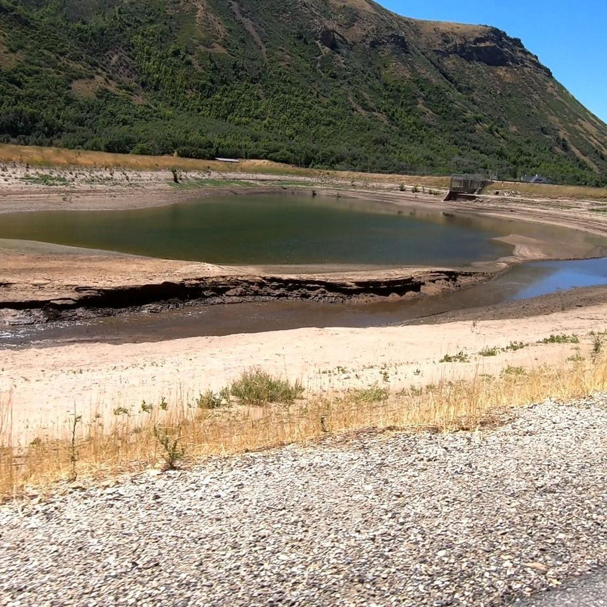
The stunning Hobble Creek Canyon envelops Hobble Creek, offering impressive views of the water and the surrounding mountains. Running by the creek during autumn is truly remarkable, as the combination of the water and colorful autumn leaves brings a sense of peace and tranquility.
0
0
This well-maintained, paved trail guides you along Hobble Creek, meandering past Hobble Golf Course through a lush, tree-lined path. Along the way, you'll be treated to breathtaking views of the surrounding mountains as you steadily ascend towards the trail's end.
0
0

Powerhouse Mountain isn't the most popular peak outside of Provo, but it's a great peak for running. The trails leading to the summit trail aren't crowded, and after some power hiking to the ridge, there are super runnable grades along the ridgeline. At 7,990 feet, the ridge to the summit and the summit itself offer continuous views of the foothills and neighboring peaks.
0
0
Provo Peak is another one of those gnarly, steep Utah peaks. At 11,068 feet, it isn't the tallest mountain in the range, but it is easily recognizable from town and a great place to get in some vert training. If you want some extra miles, the road getting to the trailhead is a great forest road for running.
0
0
Frequently Asked Questions
How many running routes are available in the Hobble Creek area?
There are 6 dedicated running routes around Hobble Creek documented on komoot, offering a range of distances and difficulties for all types of runners.
Are there any easy jogging routes suitable for beginners or a relaxed run?
Yes, for an easier run, consider the Running loop from Springville High School. This route is approximately 4.7 km (2.9 miles) with minimal elevation gain, making it ideal for a gentle jog.
What are some challenging running trails for experienced runners in Hobble Creek?
Experienced runners looking for a challenge can tackle routes like the Provo Peak Trail, which involves a significant ascent over 4.7 km (2.9 miles). Another demanding option is the Powerhouse Mountain via Spring Canyon Trail, a 16.0 km (9.9 miles) route through mountainous terrain.
Are there any long-distance running options around Hobble Creek?
For longer distances, the Bartholomew Lake loop from Springville High School offers a substantial 20.8 km (12.9 miles) run. The Hobble Creek Parkway Trail is also a good option at 14.6 km (9.0 miles).
What kind of terrain can I expect on the running trails in Hobble Creek?
The Hobble Creek area offers diverse terrain, from paved parkway trails along waterways to challenging mountain ascents and scenic loops through varied landscapes. You'll find options ranging from gentle paths to trails with significant elevation gain.
Are there any notable landmarks or points of interest along the running routes?
While running, you might encounter natural landmarks such as Apache Flat. For panoramic views, consider routes that offer glimpses of Spanish Fork Peak or Provo Peak. Some trails also feature viewpoints like The Lookout.
What do other runners say about the jogging routes in Hobble Creek?
Over 20 runners have used komoot to explore Hobble Creek's varied terrain. They often praise the mix of paved parkway trails and challenging mountain paths, highlighting the region's ability to cater to different fitness levels and preferences.
Are there any circular running routes available?
Yes, many of the routes are designed as loops. For example, the Running loop from Springville High School and the Bartholomew Lake loop from Springville High School are both circular options.
Is Hobble Creek suitable for family-friendly jogging?
For families or those seeking a less strenuous outing, the easier, flatter sections of the Hobble Creek Parkway Trail, which follows the waterway with gentle elevation changes, would be a good choice.
What is the best time of year for running in Hobble Creek?
The best time for running in Hobble Creek generally depends on the specific trail. Lower elevation parkway trails are often accessible for much of the year, while higher mountain trails like those leading to Provo Peak or Powerhouse Mountain are best enjoyed from late spring through early autumn to avoid snow and ice.
Are there any facilities like water fountains along the trails?
Some areas may have facilities. For instance, you might find a Water Fountain on Red Rock Canyon/Dry Fork Trail. It's always advisable to carry enough water, especially on longer or more remote routes.
What should I wear when jogging in Hobble Creek?
Given the varied terrain, from paved paths to mountain trails, it's recommended to wear appropriate running shoes with good grip. Layers are also advisable, especially when tackling routes with significant elevation changes, as temperatures can vary.
Most popular routes around Hobble Creek
Most popular attractions around Hobble Creek

Get inspired with the komoot mobile app


Explore more
Browse the best Running Trails & Routes in other regions.
