The best road cycling routes around East Basin
4.5
(12)
1,536
riders
56
rides
Road cycling routes around East Basin traverse a diverse landscape characterized by mountainous terrain, high-alpine environments, and scenic valleys. The region features significant elevation changes, offering challenging climbs and exhilarating descents. Cyclists can expect a mix of paved country roads, connecting to areas with varied natural features, from forested sections to open vistas. This area provides a range of road cycling experiences suitable for different skill levels.
Best road cycling routes around East Basin
- The most popular road cycling route…
Last updated: May 14, 2026
5.0
(3)
136
riders
Moderate road ride. Good fitness required. Mostly well-paved surfaces and easy to ride.
31
riders
100km
05:20
1,760m
1,760m
Hard road ride. Very good fitness required. Mostly well-paved surfaces and easy to ride.

Sign up for free
22
riders
93.9km
05:02
1,210m
1,210m
Hard road ride. Very good fitness required. Some segments of this route may be unpaved and difficult to ride.
16
riders
Moderate road ride. Good fitness required. Mostly well-paved surfaces and easy to ride.
7
riders
66.5km
03:22
800m
800m
Moderate road ride. Good fitness required. Some segments of this route may be unpaved and difficult to ride.
Get access to more routes and recommendations from other explorers.
Sign up for free
Already have an account?
Our route recommendations are based on thousands of hikes, rides, and runs completed by other people on komoot.
Start today with a free account
Your next adventure awaits.
Login or Signup
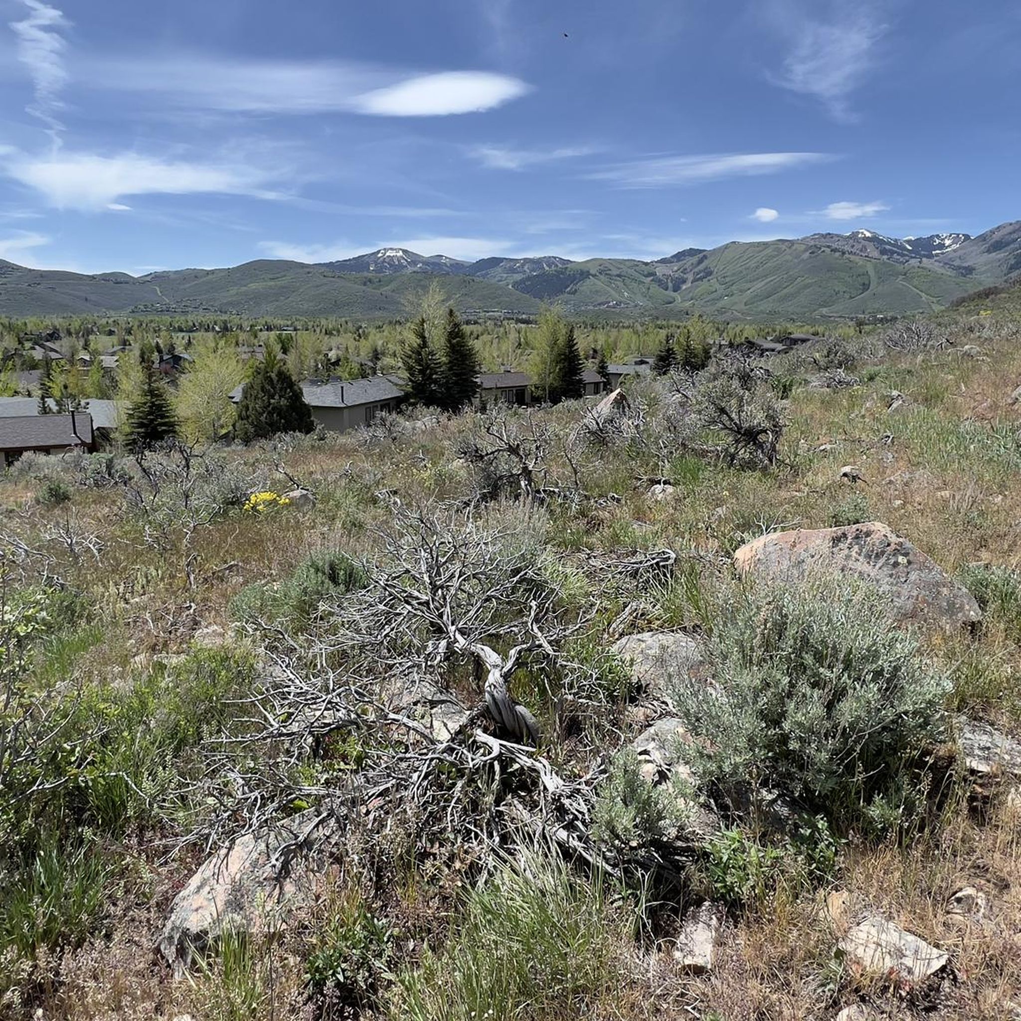


Tips from the Community

City Park is beautiful, with ample green space, art displays, and breathtaking views. The park includes several large lawns that are ideal for a lovely picnic. There are also ball fields, basketball and volleyball courts, and restrooms, making it an excellent afternoon spot on a sunny day.
0
0

The Union Pacific Rail Trail is an almost 27-mile trail that runs from Park City to Echo. While it is a popular spot for hiking and biking, but there is a good chance you will have the trail to yourself. The trail is mostly gravel, but this section in Park City is paved.
1
0
Great view of Jordanelle Reservoir. The reservoir, created when the Provo River was dammed, is a popular spot for fishermen, boaters, and people enjoying the peaceful setting.
0
0
The Silver Quinn Trail is a paved trail that runs north of Park City. It is almost 4 miles long and connects with some off-road trails if you want to extend your ride.
0
0

Park City is a popular destination in both the summer and the winter. It is home to the Sundance Film Festival, one of the most fantastic independent film festivals in the United States. This town was also host of the 2002 Winter Olympics and historically was a silver mining town.
0
0

Empire Pass Viewpoint is an official overlook at the saddle between Jupiter Peak and Flagstaff Mountain. There is a large parking lot, picnic area, and trailhead for a number of trails here at the pass.
0
0

Swaner Preserve & EcoCenter is a 1,200 acre nature preserve and educational center. Immerse yourself in the vibrant ecosystem by taking a walk on a 400 foot pier out onto the preserve or venturing up the on site four story tower to look for wildlife.
0
0
Frequently Asked Questions
How many road cycling routes are available in East Basin?
East Basin offers a wide selection of road cycling routes, with over 50 tours available. These routes cater to various skill levels, including 15 easy, 28 moderate, and 11 difficult options.
What kind of terrain can I expect on road cycling routes in East Basin?
Road cycling in East Basin features a diverse landscape, from mountainous terrain and high-alpine environments to scenic valleys. You'll encounter significant elevation changes, offering both challenging climbs and exhilarating descents. Routes often combine paved country roads with varied natural features, including forested sections and open vistas.
Are there any easy or beginner-friendly road cycling routes in East Basin?
Yes, East Basin has 15 easy road cycling routes suitable for beginners or those looking for a more relaxed ride. These routes typically feature less challenging terrain and elevation changes, allowing for an enjoyable experience without excessive difficulty.
What are some challenging road cycling routes for experienced riders in East Basin?
For experienced riders seeking a challenge, East Basin offers 11 difficult routes. One notable option is the Park City – City Park loop from Park Ave & Meadows Drive, a 27.1-mile (43.7 km) path with significant elevation gain, providing a demanding ride through the local landscape. Another difficult route is the View of Jordanelle Reservoir – City Park loop from Snyderville, which covers nearly 100 km and features substantial climbing.
What are the best times of year to go road cycling in East Basin?
Given the region's mountainous and high-alpine characteristics, the best time for road cycling in East Basin is typically during the warmer months, from late spring through early autumn. This avoids snow and ice, ensuring safer and more accessible routes. Always check local weather conditions before heading out.
Are there any scenic viewpoints or landmarks along the road cycling routes?
Many routes in East Basin offer scenic views. For example, the View of Jordanelle Reservoir – City Park loop from Snyderville provides stunning vistas of the Jordanelle Reservoir. Additionally, you can explore highlights like the Union Pacific Rail Trail, which offers scenic views along a former rail line, or ride through Park City Downtown, combining urban and natural surroundings.
Are there any circular road cycling routes in East Basin?
Yes, many road cycling routes in East Basin are designed as loops. Examples include the Silver Quinn Trail – Union Pacific Rail Trail loop from Awards bus stop, the Park City – City Park loop from Park Ave & Meadows Drive, and the Town Lift – Park City Downtown loop from Park Ave & Meadows Drive. These loops allow you to start and finish at the same point, making logistics easier.
What do other road cyclists say about the routes in East Basin?
The road cycling routes in East Basin are highly regarded by the komoot community, holding an average score of 4.4 stars from over 8 reviews. Cyclists often praise the varied terrain, from moderate climbs to challenging ascents, and the scenic views encountered along the way. Over 892 road cyclists have used komoot to explore the region's diverse offerings.
Are there any road cycling routes that follow former rail lines?
Yes, the Union Pacific Rail Trail is a prominent feature in East Basin. Routes like the Silver Quinn Trail – Union Pacific Rail Trail loop from Awards bus stop incorporate sections of this trail, offering varied terrain with moderate climbs and scenic views along the converted rail line.
What is the longest road cycling route available in East Basin?
The longest road cycling route listed is the View of Jordanelle Reservoir – City Park loop from Snyderville, which spans approximately 61.8 miles (99.5 km). This difficult route includes significant elevation gain and offers extensive riding through the region's diverse landscapes.
Are there options for road cyclists who prefer less crowded routes?
While specific 'less crowded' routes aren't explicitly detailed, East Basin's diverse network of over 50 routes means that exploring some of the less popular or more challenging options, particularly during off-peak hours or seasons, can lead to a more solitary cycling experience away from the main hubs.
Most popular attractions around East Basin

Get inspired with the komoot mobile app


Explore more
Browse the best Road cycling routes in other regions.
