The best road cycling routes around Syracuse
4.6
(42)
512
riders
34
rides
Road cycling routes around Syracuse, NY, traverse diverse terrain shaped by glacial activity, featuring unique meromictic lakes and dramatic waterfalls. The region's landscape includes rolling hills, extensive canal paths, and scenic routes around large lakes. Cyclists can explore varied environments from urban trails to state parks and rural roads, offering a mix of challenges and scenic viewpoints.
Best road cycling routes around Syracuse
- The most popular road cycling route is Antelope Island State Park from Syracuse, a 45.7 miles…
Last updated: May 27, 2026
5.0
(3)
136
riders
73.6km
02:59
340m
340m
Road cycling Antelope Island State Park from Syracuse offers a moderate 45.7-mile ride with Great Salt Lake views and abundant wildlife.
1
riders
42.3km
01:48
240m
240m
Easy 26.3-mile road cycling loop on the Denver and Rio Grande Western Rail Trail, offering views of the Wasatch Mountains.

Sign up for free
5.0
(3)
51
riders
58.7km
02:25
250m
250m
Moderate road ride. Good fitness required. Some segments of this route may be unpaved and difficult to ride.
5.0
(1)
20
riders
23.0km
00:52
20m
20m
Easy road ride. Great for any fitness level. Mostly well-paved surfaces and easy to ride.
5.0
(1)
16
riders
32.8km
01:16
80m
80m
Easy road ride. Great for any fitness level. Mostly well-paved surfaces and easy to ride.
Get access to more routes and recommendations from other explorers.
Sign up for free
Already have an account?
Our route recommendations are based on thousands of hikes, rides, and runs completed by other people on komoot.
Start today with a free account
Your next adventure awaits.
Login or Signup


Tips from the Community

There's a large parking lot for the climb to the viewpoint. It's just a short detour from the main trail to the parking lot.
0
0


Antelope Road runs north to south down Antelope Island. With Frary and Stringham Peaks to the west, Farmington Bay to the east, and the Wasatch Mountains beyond that, the views are stunning all along the way.
0
0

Steed Pond is a lovely little pond next to the D&RGW Trail. Theres plenty of grass around it and shaded from trees to rest under on a hot summers day.
0
0

If you want to add a short trail to your road run that offers a pretty sweet overlook of the Great Salt Lake, then look no further than the first trail you'll pass after getting to Antelope Island. The trailhead is only about a quarter-mile from the visitor's center, making this a great trail for a shakeout if you've been in the car for a while and just want to do something short as soon as you get to the park.
0
0

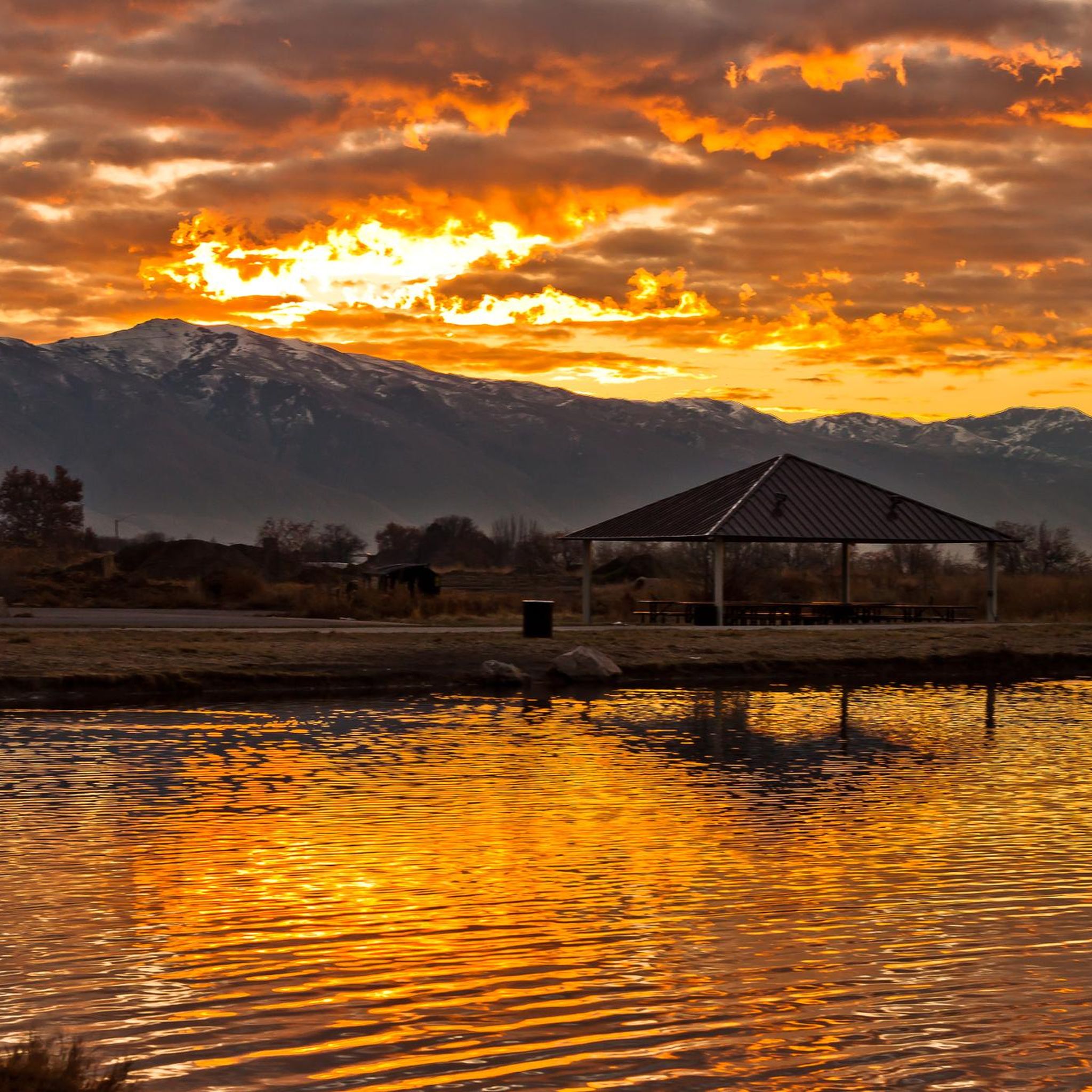
Ladyfinger Point is a picturesque location on Antelope Island known for its striking views of the Great Salt Lake. Jutting out into the lake, this peninsula offers panoramic views of the surrounding landscapes, including the distant mountain ranges. The hike to Ladyfinger Point is very short and easy and is a good one for families.
0
0
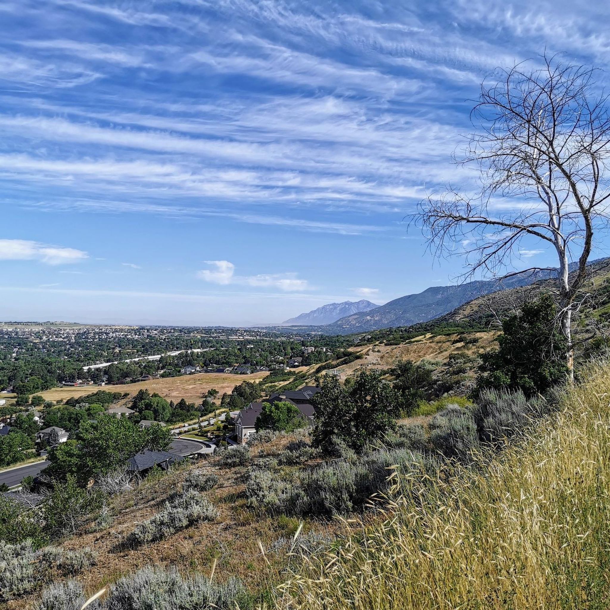
The Denver and Rio Grande Western Rail Trail (D&RGW Rail Trail) is a 24-mile long paved path from Roy to Bountiful. This section of the trail, between West Barton Lane and Clark Lane, is rather flat and offers absolutely breathtaking views of the mountains to the east. A nice escape from the cars to really take in the scenery!
0
0
Frequently Asked Questions
What types of road cycling routes can I find around Syracuse?
The Syracuse region offers a diverse range of road cycling experiences, from flat, historic canal paths to routes with rolling hills and significant elevation changes. You'll find trails suitable for all skill levels, traversing urban areas, state parks, and scenic rural roads. The landscape is characterized by unique meromictic lakes and glacial formations.
Are there any easy road cycling routes suitable for beginners or families in Syracuse?
Yes, Syracuse has several easy road cycling options. The historic Erie Canalway Trail offers extensive flat, paved, and gravel sections, perfect for all ages. Another great choice is the Onondaga Creekwalk and Loop the Lake Trail, a mostly flat and paved 21.2-mile route with scenic views of Onondaga Lake. For a specific easy route, consider the Denver and Rio Grande Western Rail Trail Loop, which is 26.3 miles long and offers a less strenuous experience.
What are some challenging road cycling routes for experienced riders in Syracuse?
For experienced riders seeking a challenge, the region offers routes with more significant elevation gain. The Antelope Island State Park from Syracuse route is a moderate 45.7-mile ride with notable elevation changes. Another option is the Ladyfinger Point – Antelope Island State Park loop from Syracuse, a 36.4-mile route through varied terrain. The Skaneateles Lake Loop, while not listed as a specific komoot route in the guide, is known for its rolling hills and requires good fitness.
What natural features and landmarks can I see while road cycling near Syracuse?
Syracuse's road cycling routes offer access to stunning natural beauty. You can explore Green Lakes State Park, home to rare meromictic lakes with turquoise waters, and enjoy views of upland forests. Chittenango Falls State Park features a majestic 167-foot waterfall, and Pratt's Falls boasts a 137-foot waterfall. The region's glacial history has created dramatic valleys and unique lake formations, providing picturesque backdrops for your rides.
Are there any loop road cycling trails around Syracuse?
Yes, several loop options are available for road cyclists. The Denver and Rio Grande Western Rail Trail Loop is a popular easy loop. For a moderate challenge, consider the Ladyfinger Point – Antelope Island State Park loop from Syracuse. The Onondaga Creekwalk and Loop the Lake Trail also provides a scenic loop around Onondaga Lake.
What do other road cyclists say about the routes in Syracuse?
The road cycling routes around Syracuse are highly regarded by the komoot community, with an average rating of 4.6 stars from over 50 reviews. Cyclists often praise the diverse terrain, from flat canal paths to routes with rolling hills, and the scenic beauty of the region's lakes and natural features.
Can I find mixed-terrain or gravel routes for road cycling in the Syracuse area?
While primarily focused on road cycling, the region does offer some mixed-terrain experiences. The Erie Canalway Trail includes both paved and gravel sections. For a dedicated mixed-terrain adventure, the Green Lakes Gravel Adventure route explores Green Lakes State Park and surrounding forest roads, offering a moderate gravel experience.
Are there any specific routes that offer views of the Adirondacks or Finger Lakes region?
While directly within Syracuse, some routes offer distant views or access points to broader regional attractions. The area provides views towards the Adirondack Mountains, and the picturesque village of Skaneateles, on the northern shores of Skaneateles Lake in the Finger Lakes region, is an attractive destination for cyclists seeking beautiful lake views and charming settings.
What is the best time of year for road cycling in Syracuse?
The best time for road cycling in Syracuse typically spans from spring through fall, when the weather is mild and the natural scenery is at its peak. The region experiences distinct seasons, with vibrant foliage in autumn and lush greenery in spring and summer, making these periods ideal for exploring the diverse landscapes.
How many road cycling routes are available in Syracuse?
There are over 30 road cycling routes around Syracuse listed in the guide, offering a wide variety of distances, elevations, and difficulty levels to suit different preferences and fitness levels.
Are there any urban road cycling routes in Syracuse?
Yes, the Onondaga Creekwalk and Loop the Lake Trail offers a great urban cycling experience. This 21.2-mile route provides a mix of urban sights and scenic views of Onondaga Lake, with a mostly flat and paved surface ideal for all skill levels. The city of Syracuse is also actively improving its bicycle infrastructure, including adding bike lanes.

Get inspired with the komoot mobile app


Explore more
Browse the best Road cycling routes in other regions.
