The best walks and hikes around South Weber
4.4
(32)
486
hikers
41
hikes
Hiking around South Weber is defined by its location at the mouth of Weber Canyon, bordered by the Wasatch Mountains to the east and the Weber River to the north. This geographical setting provides a diverse landscape, from riverside paths along the Weber River to ascents into the foothills of the Wasatch Mountains. The region offers direct access to the Uinta-Wasatch-Cache National Forest, providing a network of trails with varying elevation profiles and difficulty levels.
Best hiking trails around South Weber
- The most popular hiking route is Adams Canyon Trail — Uinta-Wasatch-Cache National Forest, a 3.9 miles (6.2 km) trail that takes about 2 hours 20 minutes to complete. This moderate route involves a steady climb with over 400 meters of elevation gain.
- Another top favourite among local hikers is Mount Ogden via Beus Canyon Trail — Ogden, Utah, a difficult 11.4 miles (18.4 km) path. This challenging hike features significant elevation gain towards the summit of Mount Ogden.
- Local hikers also love the Hobbs Reservoir loop via Kays Creek Parkway — Layton, a 2.8 miles (4.6 km) trail leading around Hobbs Reservoir, often completed in about 1 hour 15 minutes.
- Hiking around South Weber is defined by canyon trails, riverside parkways, and ascents into the Wasatch Mountains. The trail network provides options for different ability levels, from easy reservoir loops to strenuous mountain hikes.
- The routes in South Weber are highly rated by the komoot community with an average score of 4.4 stars from more than 25 reviews. More than 450 hikers have used komoot to explore South Weber's varied terrain.
Last updated: May 16, 2026
1
hikers
3.06km
00:52
80m
40m
Easy hike. Great for any fitness level. Easily-accessible paths. Suitable for all skill levels.
1
hikers
Easy hike. Great for any fitness level. Easily-accessible paths. Suitable for all skill levels.

Sign up for free
3.64km
01:22
380m
10m
Moderate hike. Good fitness required. Easily-accessible paths. Suitable for all skill levels.
968m
00:15
10m
10m
Easy hike. Great for any fitness level. Easily-accessible paths. Suitable for all skill levels.
1.72km
00:27
10m
10m
Easy hike. Great for any fitness level. Easily-accessible paths. Suitable for all skill levels.
Get access to more routes and recommendations from other explorers.
Sign up for free
Already have an account?
Our route recommendations are based on thousands of hikes, rides, and runs completed by other people on komoot.
Start today with a free account
Your next adventure awaits.
Login or Signup
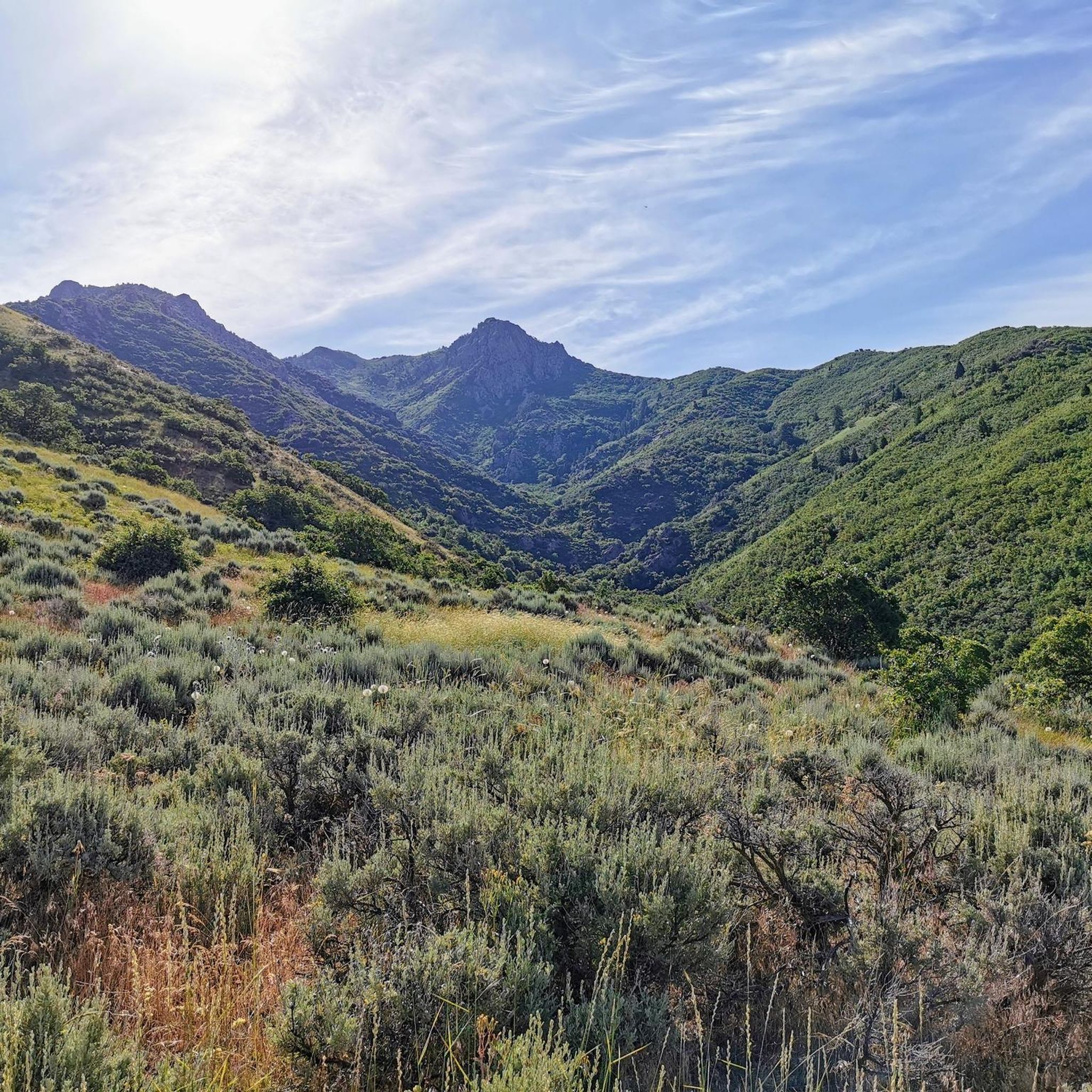
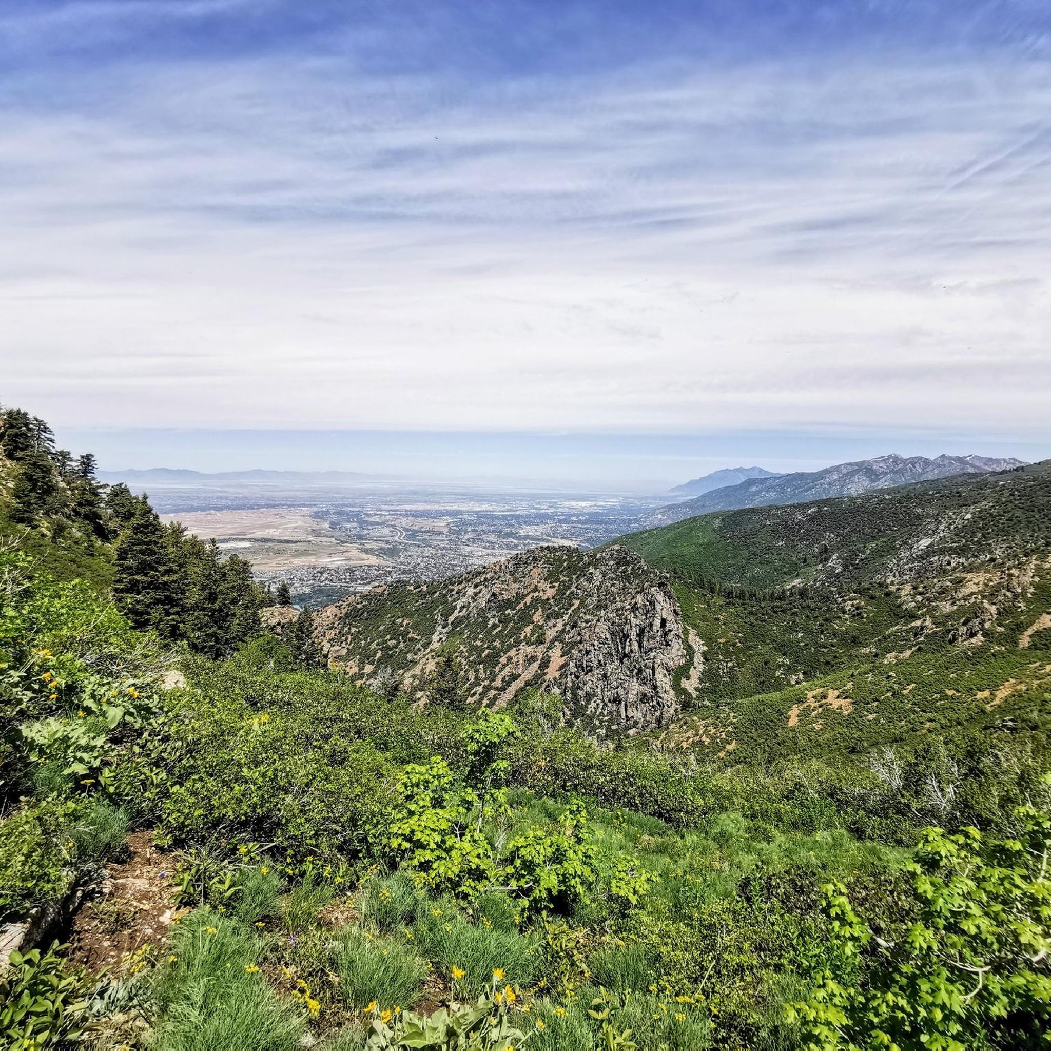
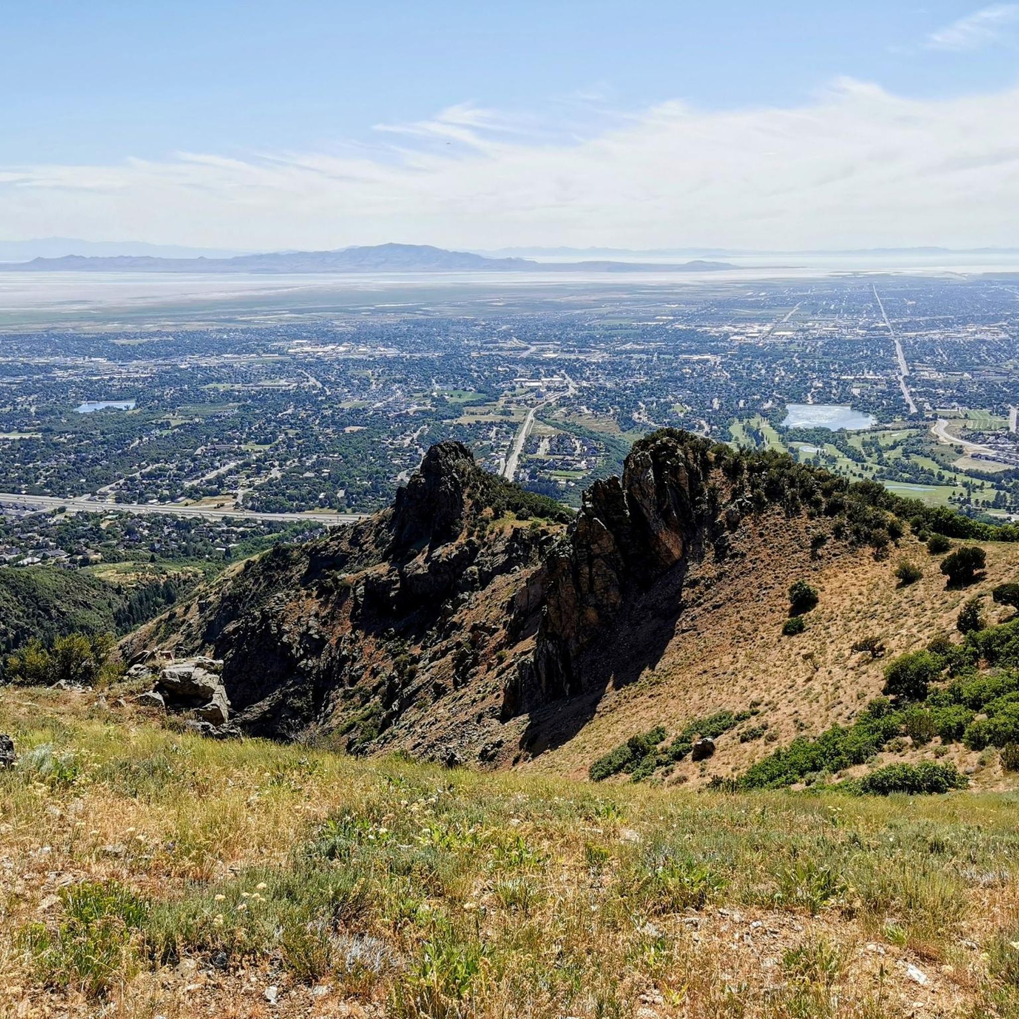
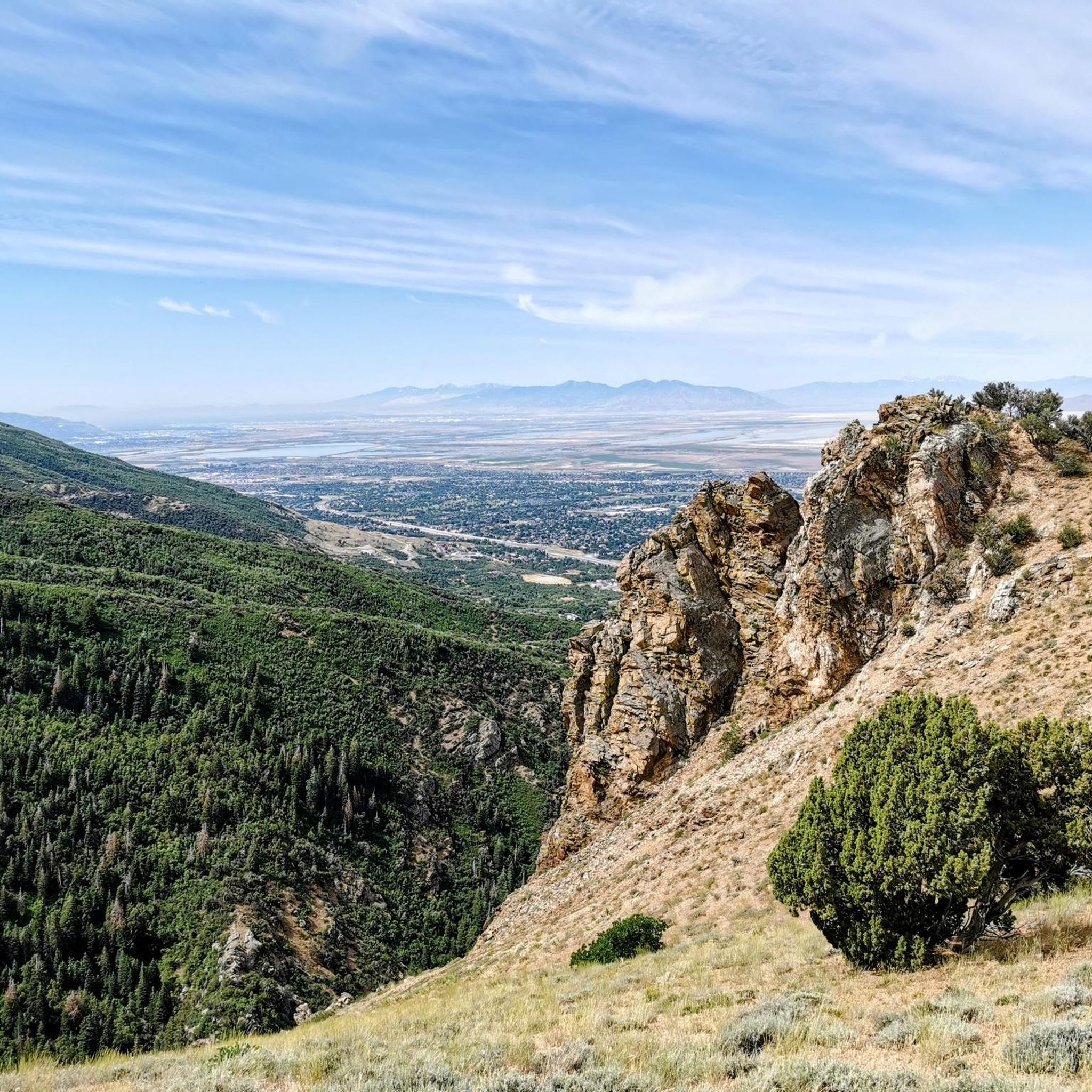
Tips from the Community

Great place to escape in an urban environment. Several spots for fishing.
1
0

The East Mountain Wilderness Park is situated in the city of Kaysville, Utah. The park includes a nice multi-use trail for hiking and biking, various side trails and great views from the top of the mountain.
0
0
Frequently Asked Questions
Are there many hiking trails to choose from around South Weber?
Yes, there are over 20 hiking routes available in the area. The trails range from easy riverside walks to challenging ascents in the Wasatch Mountains, offering plenty of options for different fitness levels and preferences.
What do other hikers think of the trails in South Weber?
The trails around South Weber are highly regarded by the komoot community, holding an average rating of 4.4 out of 5 stars. Hikers often praise the stunning canyon scenery and the variety of trails available, from accessible paths to more strenuous mountain climbs.
Are there any dog-friendly hikes in the South Weber area?
Many trails in the region are suitable for hiking with a dog, but it's important to check specific regulations for each trail, especially within the Uinta-Wasatch-Cache National Forest. Generally, dogs must be kept on a leash. The Weber River Parkway offers a good option for a leashed walk with your dog.
What are some good family-friendly or easy hikes near South Weber?
For an easy and rewarding family outing, the Adam's Canyon Lower Falls trail is a great choice. It's a relatively short hike that leads to a beautiful waterfall, making it engaging for hikers of all ages.
Where can I find a hike with a waterfall?
The area is well-known for its waterfall hikes. Adams Canyon is a prime destination, featuring a popular lower waterfall that is relatively easy to access. For those seeking a more significant challenge, continuing further into the canyon reveals more secluded spots.
Are there any circular or loop trails available?
Yes, you can find loop trails around South Weber. These are great for seeing new scenery throughout your hike without backtracking. The area around Hobbs Reservoir, for instance, features a popular loop that is perfect for a straightforward and scenic walk.
What are the parking options for the popular trailheads like Adams Canyon?
Parking for popular trails like Adams Canyon can be limited, especially on weekends. The main trailhead has a designated parking lot, but it fills up quickly. It's recommended to arrive early or consider carpooling to secure a spot.
Can I get to any trailheads using public transport?
Reaching trailheads directly via public transport can be challenging in the South Weber area. Most trailheads, particularly those leading into the Wasatch Mountains, are best accessed by car. It's advisable to check local Utah Transit Authority (UTA) bus routes for the nearest stops and plan to walk or use a rideshare service for the remaining distance.
Are there any particularly challenging hikes for experienced mountaineers?
For those seeking a strenuous and rewarding challenge, the trails leading to the area's peaks offer significant elevation gain and distance. The route to the summit of Mount Ogden is a classic difficult hike that provides panoramic views as a reward for the tough ascent.
What are the best trails for scenic views?
For incredible views over the wider region, hikes that climb into the foothills of the Wasatch Mountains are your best bet. The Adam's Canyon Cabin Trail offers increasingly expansive vistas as you ascend, looking out over the valley and surrounding peaks.
Are there any equestrian-friendly trails near South Weber?
Yes, some multi-use trails in the area accommodate horseback riding. Portions of the Bonneville Shoreline Trail and other paths in the surrounding foothills are often open to equestrians. For a complete list of designated trails, you can check the official South Weber City trails page.
Can I go hiking in South Weber during the winter?
Winter hiking is possible on many lower-elevation trails, but you should be prepared for snow and ice. Trails like the Weber River Parkway are often more accessible. For mountain trails, proper gear such as microspikes or snowshoes is essential. Always check weather and avalanche conditions before heading out.
Most popular attractions around South Weber

Get inspired with the komoot mobile app


Explore more
Browse the best Hikes in other regions.
