The best walks and hikes around North Salt Lake
4.5
(102)
1,214
hikers
115
hikes
Hiking around North Salt Lake is characterized by a varied landscape situated between the Wasatch Mountains to the east and the Great Salt Lake to the west. The region's terrain offers a mix of relatively flat shoreline paths, challenging canyon trails, and routes that ascend to viewpoints in the surrounding hills. This geographical diversity provides a network of trails with options for different fitness levels. The area is part of the Wasatch Front, where mountains rise steeply from the valley…
Last updated: August 17, 2026
7
hikers
777m
00:15
0m
90m
The Ensign Peak Trail offers a unique blend of natural beauty and historical significance, making it a standout short hike near Salt Lake City. As you ascend the well-maintained path,…
2
hikers
7.94km
02:28
330m
240m
Hike the moderate 4.9-mile Wild Rose Trail Loop for expansive views of the Salt Lake Valley and vibrant wildflowers, especially in spring.

Sign up for free
8.71km
02:54
610m
40m
Hike the moderate Dude Benchmark Peak Trail for 5.4 miles, gaining 1989 feet, and enjoy panoramic views of Salt Lake City and beyond.
55.7km
14:01
60m
60m
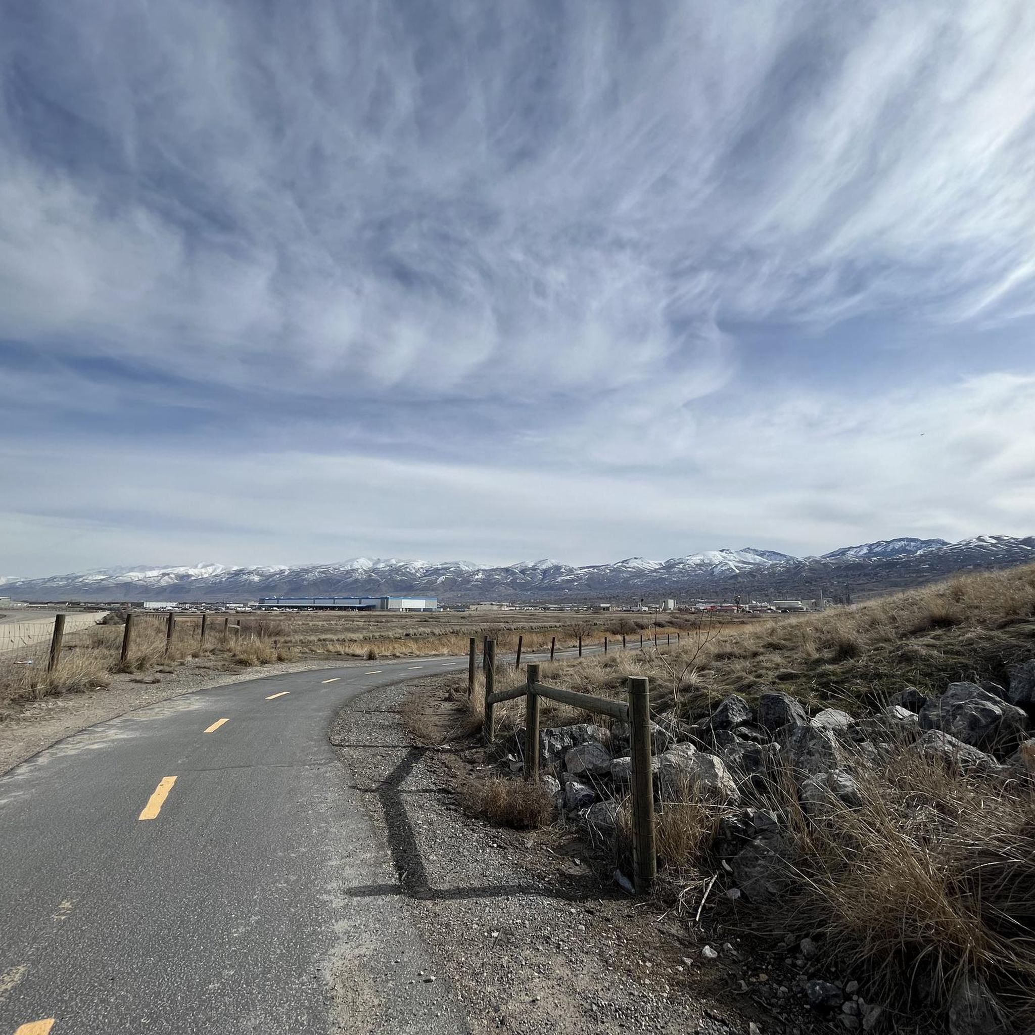
Hike the 34.6-mile Legacy Parkway Trail through the Legacy Nature Preserve, offering views of the Wasatch Mountains and Great Salt Lake wetl
895m
00:14
0m
0m
For an easy, scenic escape in Davis County, the Legacy Parkway Trail delivers a refreshing experience. This multi-use path, primarily paved and wide, offers a gentle journey with minimal effort,…
Get access to more routes and recommendations from other explorers.
Sign up for free
Already have an account?
Our route recommendations are based on thousands of hikes, rides, and runs completed by other people on komoot.
Start today with a free account
Your next adventure awaits.
Login or Signup
Tips from the Community

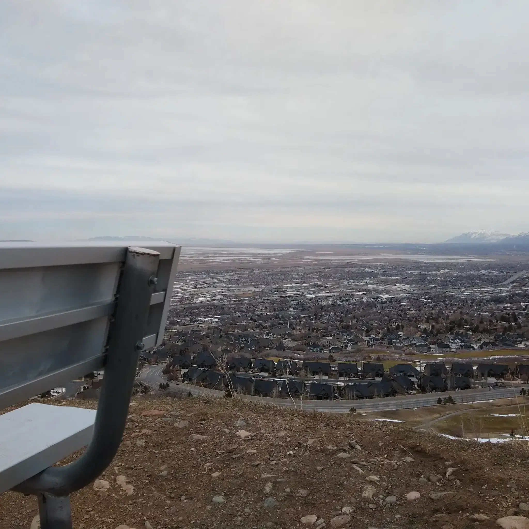
Panoramic viewpoint of the Great Salt Lake wetlands.
0
0

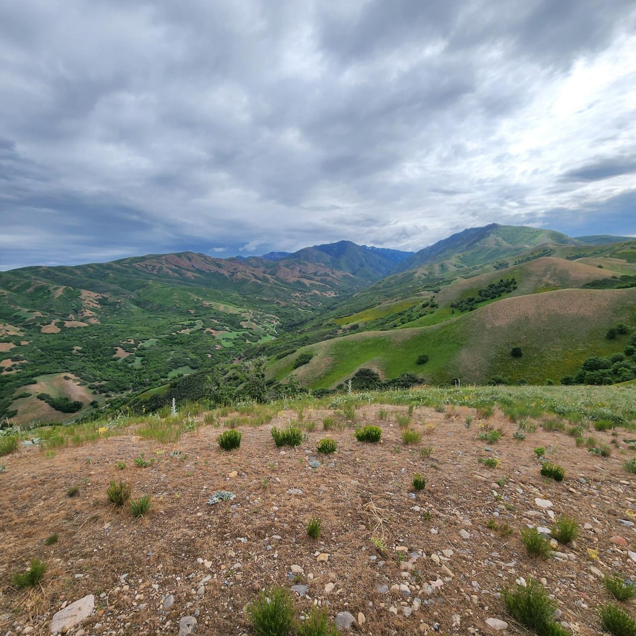
At 7,212 feet, Dude Benchmark is a USGS high point and grassy peak just north of Salt Lake City. You get unobstructed views from the peak and the trail following the ridge that the peak is on.
0
0

This is one of the easier peaks that, nonetheless, earns you stellar views looking out over Salt Lake City. There are a number of trails leading up here, many of them indistinct and hard to find, at best; the most straightforward route is usually to start out on the Terraces Trail, then come up the ridge.
1
0
Although Ensign Peak is diminutive compared to the surrounding ridgelines and mountains, it is beautifully situated to give you views over Salt Lake City and the valley — especially at sunrise or sunset.
4
0

Very nice vantage point, whether with the family or alone, the trip is worth it. View of the Capitol
1
0
Frequently Asked Questions
Are there many family-friendly hikes in the North Salt Lake area?
Yes, the area offers several great options for families. For a short but rewarding hike with fantastic sunset views over the Great Salt Lake, the Ensign Peak trail is a popular choice. It's a relatively easy climb that leads to a stunning panorama of the valley.
Can I bring my dog on the trails near North Salt Lake?
Many trails are dog-friendly, but regulations can vary, especially in canyon watersheds. For example, dogs are generally allowed in City Creek Canyon on odd-numbered days, but must always be on a leash. Always check local signage at the trailhead before starting your hike, as rules are in place to protect the water supply and local wildlife.
What are the best trails for seeing wildflowers in the spring?
The foothills and canyons around North Salt Lake come alive with wildflowers in the spring and early summer. Trails in the nearby Wasatch Mountains, such as those in Mueller Park, are well-regarded for their floral displays. The Cecret Lake Trail in Alta is particularly famous for its vibrant wildflower meadows, though it's a bit of a drive.
Are there any circular hikes or loop trails available?
Absolutely. If you're looking for a convenient loop, the Wild Rose Trail loop via Sunset Point is an excellent choice. It's an easy, well-maintained trail that offers great views without requiring you to backtrack.
What kind of amenities are available at the trailheads?
Amenities vary by location. A well-equipped starting point is Wild Rose Trailhead Park, which is a local favorite offering picnic areas with grills, restrooms, and direct access to multiple trails. Other trailheads, like the one for Ensign Peak, are more basic, often providing just parking and information kiosks.
Are there any hiking trails with waterfalls near North Salt Lake?
While the immediate North Salt Lake area is more known for its canyon and shoreline views, several trails in the greater Salt Lake region feature waterfalls, especially during the spring runoff. Hikes in nearby canyons like Big and Little Cottonwood Canyon often lead to waterfalls, but be prepared for more challenging terrain.
What is the best time of year to hike around North Salt Lake?
Spring and fall offer the most pleasant hiking conditions, with moderate temperatures and beautiful scenery, including spring wildflowers and autumn colors. Summer can be very hot, especially on exposed trails, so early morning or evening hikes are recommended. Winter hiking is possible on lower-elevation trails, but be prepared for snow and ice.
How many hiking trails are there around North Salt Lake?
There is a wide variety of trails to explore, with over 85 routes available on komoot alone. These range from easy, flat paths along the ancient shoreline of Lake Bonneville to strenuous climbs up mountain peaks in the Wasatch Range.
What do other hikers enjoy most about the trails in this region?
The area is highly rated by the komoot community, with an average score of 4.6 stars. Reviewers often praise the incredible accessibility of the trails from the city and the dramatic contrast between the mountain and lake views. The variety, from easy family walks to challenging canyon treks, is also a frequently mentioned highlight.
Are there any good options for a longer, more challenging day hike?
Yes, for those seeking a challenge, the North Canyon Trail in Mueller Park is a great option. This moderate hike covers over 7 miles (11.7 km) and involves a significant elevation gain, rewarding you with beautiful forest scenery and a good workout.
What should I pack for a day hike in the Salt Lake area?
Even for a short hike, it's essential to be prepared. Always carry plenty of water, as the climate is dry and many trails are exposed to the sun. Sunscreen, a hat, and sunglasses are crucial. Wear sturdy hiking shoes with good grip. It's also wise to bring layers of clothing, as weather can change quickly in the mountains, and a small first-aid kit is always a good idea.
Where can I access the Bonneville Shoreline Trail?
The Bonneville Shoreline Trail (BST) is an extensive trail system with numerous access points. Near North Salt Lake, you can often connect to it from trailheads like Wild Rose Trailhead Park. A popular route that incorporates a section of the BST is the hike to Ensign Peak via the Bonneville Shoreline Trail, which offers a longer, more varied experience.
Most popular attractions around North Salt Lake

Get inspired with the komoot mobile app


Explore more
Browse the best Hikes in other regions.
