The best cycling routes around Kaysville
4.5
(4)
103
riders
13
rides
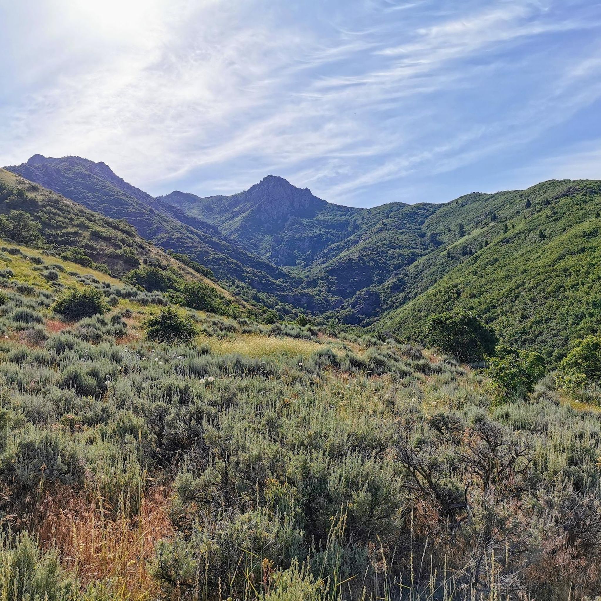
Touring cycling around Kaysville features a diverse landscape at the base of the Wasatch Mountains in Utah. The region is characterized by varied terrain, including serene wetlands around Kaysville Ponds, rugged sections of the East Mountain Wilderness Park, and scenic canyons with creeks. Cyclists can navigate well-maintained paths, broad singletracks, and paved trails, offering a range of experiences from flat, easy sections to routes with significant elevation changes.
Best touring cycling routes around Kaysville
- The most popular touring cycling route…
Last updated: May 10, 2026
1
riders
62.3km
03:49
550m
550m
This difficult 38.7-mile touring cycling loop offers diverse scenery, including wetlands, Great Salt Lake views, and the Wasatch Mountains.
5.0
(1)
17
riders
47.1km
05:06
1,560m
1,560m
Hard bike ride. Very good fitness required. Mostly paved surfaces. Suitable for all skill levels.

Sign up for free
5.0
(1)
13
riders
41.7km
02:23
80m
80m
Moderate bike ride. Good fitness required. Mostly paved surfaces. Suitable for all skill levels.
10
riders
Easy bike ride. Great for any fitness level. Mostly paved surfaces. Suitable for all skill levels.
5.0
(1)
8
riders
41.1km
02:22
110m
110m
Moderate bike ride. Good fitness required. Mostly paved surfaces. Suitable for all skill levels.
Get access to more routes and recommendations from other explorers.
Sign up for free
Already have an account?
Our route recommendations are based on thousands of hikes, rides, and runs completed by other people on komoot.
Start today with a free account
Your next adventure awaits.
Login or Signup

Tips from the Community

The Legacy Nature Preserve encompasses 2,100 acres of wetlands set aside for wildlife. The preserve can only be viewed from the Legacy Parkway Trail.
0
0

This rail trail is fantastic for traffic free cycling on a nicely paved trail for both walkers and cyclists. Due to its mixed use, be sure to be considerate of others on the trail.
1
0
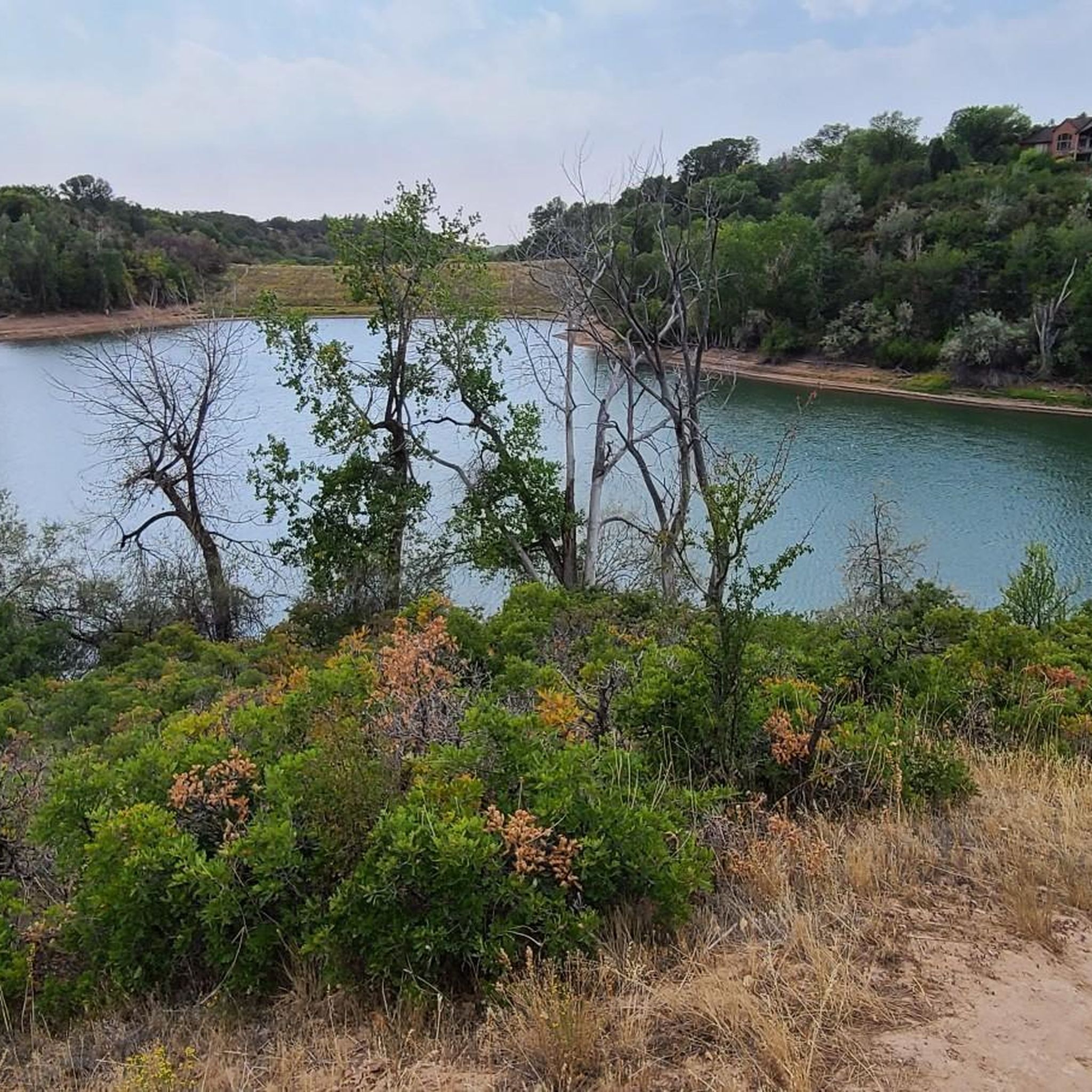
Steed Pond is a lovely little pond next to the D&RGW Trail. Theres plenty of grass around it and shaded from trees to rest under on a hot summers day.
0
0

With an elevation of about 9,500 feet, Francis Peak provides stunning views from the marked viewing point. From here you can see the Great Salt Lake, the Ogden Valley, and the surrounding mountain ranges.
0
0
The Legacy Nature Preserve encompasses 2,100 acres of wetlands set aside for wildlife. The preserve can only be viewed from the Legacy Parkway Trail.
0
0
With an elevation of about 9,500 feet, Francis Peak provides stunning views from the marked viewing point. From here you can see the Great Salt Lake, the Odgen Valley, and the surrounding mountain ranges.
0
0
Farmington was originally settled by Mormon pioneers in 1847 and derived its name from the surrounding lush farmlands. The town offers a retail center called Station Park, the Lagoon Amusement Park, the Davis County Fairgrounds, as well as a quaint historic Main Street.
0
0

The Denver and Rio Grande Western Rail Trail (D&RGW Rail Trail) is a 24-mile long paved path from Roy to Bountiful. This section of the trail, between West Barton Lane and Clark Lane, is rather flat and offers absolutely breathtaking views of the mountains to the east. A nice escape from the cars to really take in the scenery!
0
0
Frequently Asked Questions
What kind of terrain can I expect on touring cycling routes around Kaysville?
Kaysville offers a diverse range of terrain for touring cyclists. You'll find well-maintained paved paths, broad singletracks, and some rugged sections, particularly in areas like the East Mountain Wilderness Park. The region is nestled at the base of the Wasatch Mountains, so routes can include significant elevation changes, but also serene, flatter sections around wetlands like the Kaysville Ponds and Legacy Nature Preserve.
Are there touring cycling routes suitable for beginners in Kaysville?
Yes, Kaysville has several touring cycling routes suitable for beginners. Many routes feature mostly paved surfaces and are designed for all fitness levels. For example, the Legacy Nature Preserve loop from Layton offers a moderate ride through wetlands, and the Denver and Rio Grande Western Rail Trail Loop is known for its easy, paved sections with scenic views of the Wasatch Mountains.
How many touring cycling routes are available in Kaysville?
There are over 15 touring cycling routes available around Kaysville, catering to various skill levels. These include 6 easy routes, 4 moderate routes, and 5 more challenging options for experienced cyclists.
What is the best time of year for touring cycling in Kaysville?
The best time for touring cycling in Kaysville is generally during the spring, summer, and fall months when the weather is mild and trails are clear. Summer offers lush greenery, while spring and fall provide comfortable temperatures and beautiful scenery. Always check local weather conditions before heading out.
Are there any waterfalls I can see while cycling in Kaysville?
Yes, the Kaysville area is home to several beautiful waterfalls. While cycling, you might find yourself near Adams Canyon Waterfall, Adam's Canyon Lower Falls, or the Waterfall at Davis Creek. These natural features add a picturesque element to your ride, especially in areas like Adams Canyon and the Middle Fork of Kays Creek.
What natural features define the cycling experience in Kaysville?
The touring cycling experience in Kaysville is largely defined by its proximity to the Wasatch Mountains, offering stunning backdrops and varied elevation. You'll also encounter serene wetlands around Kaysville Ponds and the Legacy Nature Preserve, as well as scenic canyons and creeks, often with wooden bridges over streams. The region's diverse ecosystems, from arid landscapes to pine forests, contribute to the varied scenery.
Are there any scenic viewpoints along the touring cycling routes?
Absolutely. Many routes, especially those along the Bonneville Shoreline Trail and in the Wasatch Mountains, offer breathtaking scenic views. You can enjoy panoramic vistas of the mountains and valleys. A notable viewpoint is View of Farmington and the Great Salt Lake from Flag Rock, which provides expansive views of the surrounding area.
Are there any circular touring cycling routes in Kaysville?
Yes, there are several circular touring cycling routes available. For instance, the Legacy Parkway and D&RGW Rail Trail Loop is a popular option that allows you to start and end in the same location. Another great choice is the Farmington – Farmington Pond loop from Farmington, which takes you through areas with ponds and natural features.
Can I bring my dog on touring cycling routes in Kaysville?
Many trails in the Kaysville area are dog-friendly, especially multi-use paths like sections of the Bonneville Shoreline Trail. However, it's always best to check specific trail regulations before you go, as rules can vary. Ensure your dog is on a leash and you carry waste bags.
Are there family-friendly touring cycling options in Kaysville?
Yes, Kaysville offers several family-friendly touring cycling options. Many of the easy and moderate routes, particularly those on paved surfaces or well-maintained rail trails, are suitable for families. The trails around Kaysville Ponds provide an easy and picturesque experience, and the Denver and Rio Grande Western Rail Trail Loop is also a great choice for a less strenuous family ride.
Is public transport available to access touring cycling trails in Kaysville?
While Kaysville has local bus routes, direct public transport access to all trailheads might be limited. It's advisable to check the Utah Transit Authority (UTA) schedules and routes for the most current information regarding bus stops near specific trail access points. Many cyclists opt to drive to trailheads or cycle from their accommodation.
Where can I find parking for touring cycling routes in Kaysville?
Parking is generally available at various trailheads and parks throughout Kaysville. For instance, areas near the Bonneville Shoreline Trail and East Mountain Wilderness Park often have designated parking lots. For specific routes, it's recommended to check the starting point of your chosen tour on komoot for detailed parking information.
Do I need a permit to cycle on trails in Kaysville?
Generally, you do not need a specific permit for touring cycling on most public trails in Kaysville. However, some specific areas or preserves might have unique regulations or require a WMA (Wildlife Management Area) license if you are engaging in activities like hunting or fishing. For general cycling, permits are typically not required, but it's always good practice to respect local signage and regulations.
Are there places to eat or drink near the cycling routes in Kaysville?
Yes, Kaysville has various local cafes and restaurants where you can refuel after your ride. While some trails, like the Bonneville Shoreline Trail between Kaysville and Fernwood Canyon, offer convenient amenities like water spigots and bathrooms, you'll find more dining options in the main town areas. It's a good idea to plan your route to pass through or near Kaysville's commercial centers for food and drink.
Most popular attractions around Kaysville

Get inspired with the komoot mobile app


Explore more
Browse the best Cycling routes in other regions.
