The best cycling routes around Toquerville
5.0
(2)
59
riders
5
rides
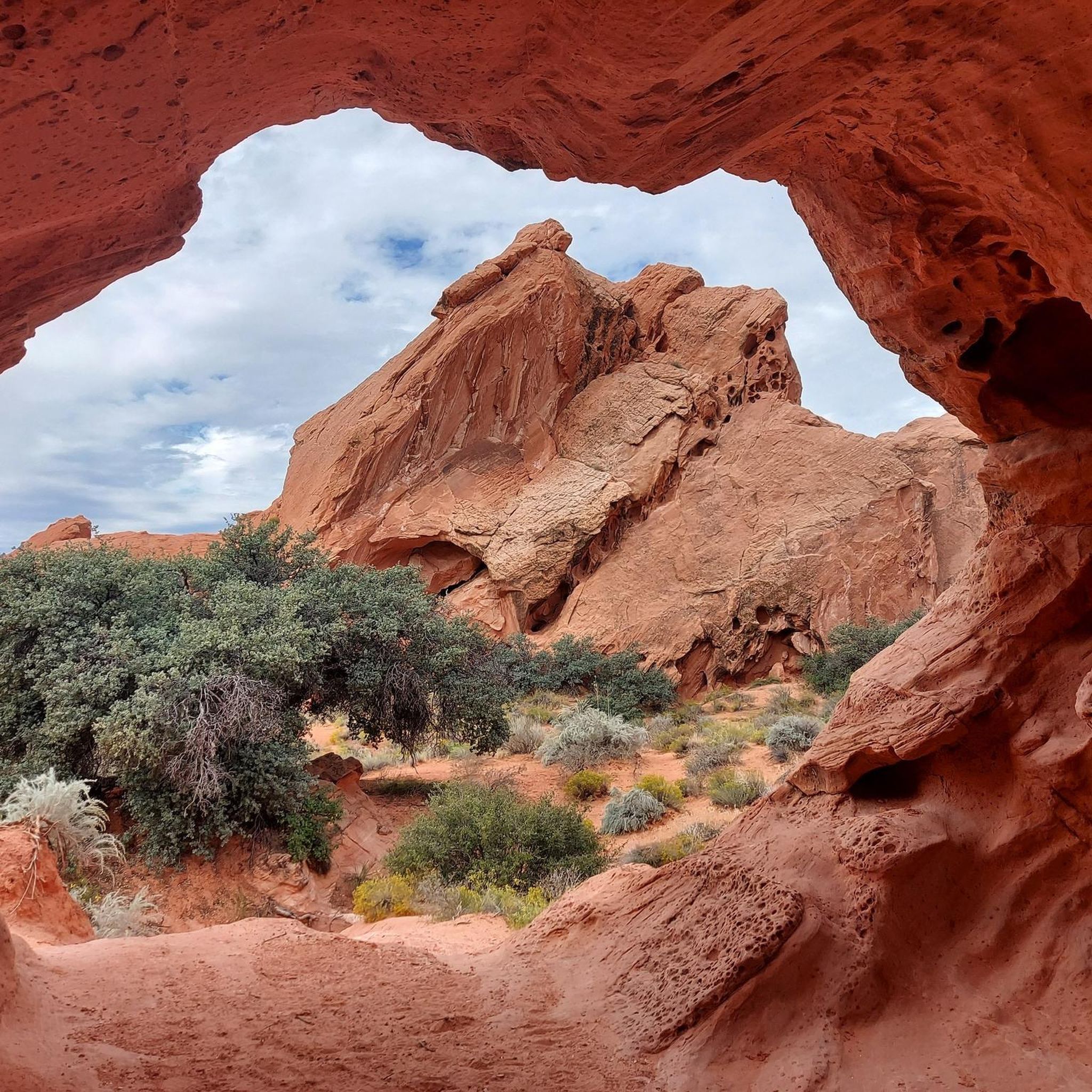
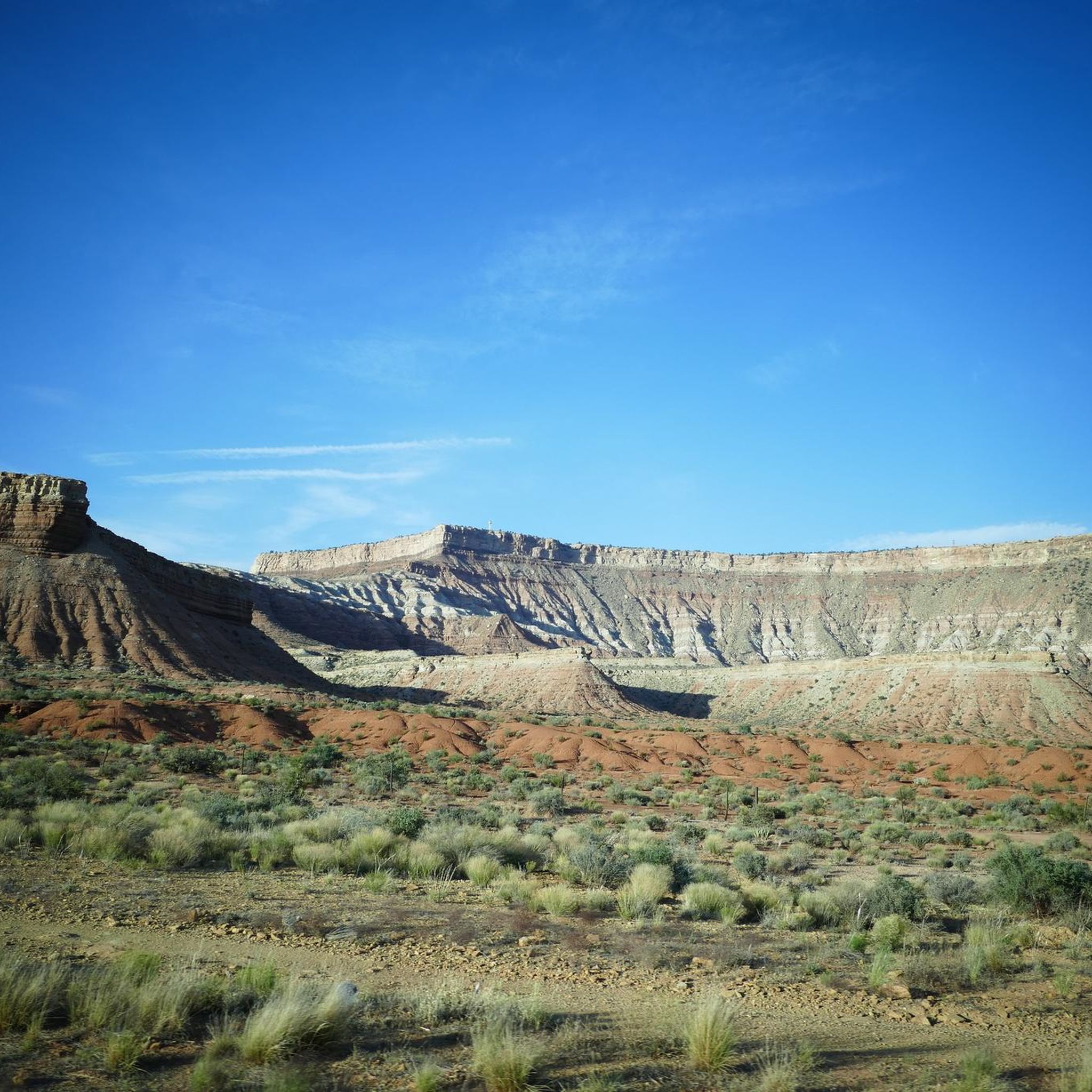
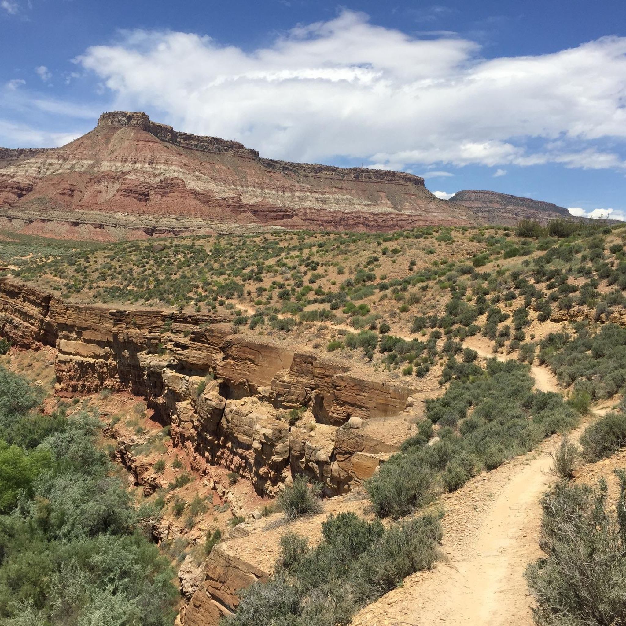
Touring cycling around Toquerville, Utah, offers routes through diverse desert landscapes characterized by impressive red rock formations and views of the Pine Valley Mountains. The area features black lava rock, desert vegetation, and riparian habitats along Ash Creek and La Verkin Creek. Routes often traverse scenic vistas and varying elevations, providing a range of experiences for cyclists.
Best touring cycling routes around Toquerville
- The most popular touring cycling route is Sand Hollow loop, a 23.1 miles (37.2 km) trail that takes 2 hours 13 minutes to complete. This moderate route offers views of the surrounding desert and rock formations.
- Another top favourite among local touring cyclists is Gravel shortcut – Smith Mesa Road loop from Hurricane, a difficult 48.9 miles (78.7 km) path. This route features significant elevation gain and expansive desert scenery.
- Local touring cyclists also love the Upper JEM Trail loop from Site 1, a 6.4 miles (10.3 km) trail leading through red rock country, often completed in about 57 minutes.
- Touring cycling around Toquerville is defined by red rock formations, desert vegetation, and views of the Pine Valley Mountains. The network offers options for different ability levels, from easy loops to challenging long-distance routes.
- The guide includes highly-rated routes that showcase the best of the region's landscape. More than 35 touring cyclists have used komoot to explore Toquerville's varied terrain.
Last updated: May 13, 2026
3
riders
37.2km
02:14
290m
290m
Cycle the 23.1-mile Sand Hollow loop in Utah's Sand Hollow State Park, offering moderate touring with desert views and reservoir sights.
3
riders
46.7km
02:56
510m
510m
The Quail Creek loop is a difficult 29.0-mile touring cycling route near Hurricane, Utah, with 1684 feet of elevation gain.

Sign up for free
5.0
(1)
15
riders
78.7km
06:48
1,240m
1,240m
Hard bike ride. Very good fitness required. You may need to push your bike for some segments of this route.
14
riders
Moderate bike ride. Good fitness required. Mostly paved surfaces. Suitable for all skill levels.
5.0
(1)
11
riders
Hard bike ride. Very good fitness required. Mostly paved surfaces. Suitable for all skill levels.
Our route recommendations are based on thousands of hikes, rides, and runs completed by other people on komoot.
Start today with a free account
Your next adventure awaits.
Login or Signup
Tips from the Community

The Pa'rus Trail is a cyclist's dream, leading you through some of the most awe-inspiring scenery in the world. Try to keep your eyes on the trail, though, as it is open to pedestrians as well and everyone will be distracted by the views. A must-do if you're in the area.
2
0

This gravel shortcut connects to the main road, a good opportunity for a change of terrain and a different perspective on the landscape.
1
0
Kolob Terrace Road leads to the upper section of Zion National Park, offering stunning scenic views along the ride. The road has a steady incline and transitions to gravel, so be ready for a challenging climb.
0
0
As the other comment mentions, you can't ride your bike through the tunnel. However, you can usually get a ride trough the tunnel pretty quickly with someone in a truck, van, or RV. This ride is one of the best in the country so it's not one to miss, even if you skip the tunnel and just do it as an out and back.
2
0


This trailhead is a great starting point for a hike. As far as running goes, please note that running is generally not encouraged at Zion National park due to how busy and populated it is.
1
0

Natural amphitheater at the end of Zion National Park.
1
0

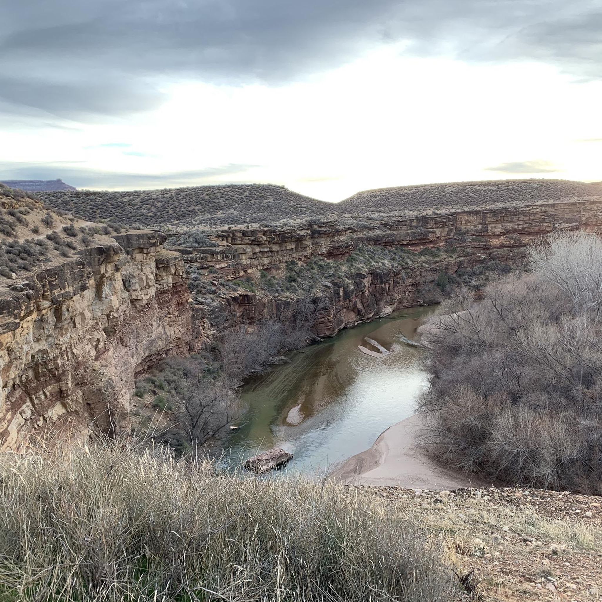
River Rock Roasting Company is a local favorite with coffee and full-size entrees. The cafe's back patio has a beautiful view of a canyon and the Virgin River, as well as mountain vistas in the background.
1
0
Frequently Asked Questions
How many touring cycling routes are available around Toquerville?
There are 6 touring cycling routes available around Toquerville, offering a variety of experiences through the region's unique landscapes.
What kind of terrain can I expect on touring cycling routes in Toquerville?
You can expect diverse terrain characterized by impressive red rock formations, black lava rock, and desert vegetation. Routes often feature scenic vistas of the Pine Valley Mountains and varying elevations, from gradual climbs to more challenging ascents. Some routes, like the Gravel shortcut – Smith Mesa Road loop from Hurricane, specifically mention gravel sections.
Are there touring cycling routes for different skill levels in Toquerville?
Yes, Toquerville offers routes for various skill levels. You'll find 1 easy route, 3 moderate routes, and 2 difficult routes. An easy option is the Upper JEM Trail loop from Site 1, while the Sand Hollow loop is a popular moderate choice.
What natural features or viewpoints can I see while cycling in Toquerville?
While cycling, you'll be treated to stunning views of red rock formations, the Pine Valley Mountains, and desert vegetation. The area also features riparian habitats along Ash Creek and La Verkin Creek. For expansive views, consider visiting Gooseberry Point, a notable viewpoint in the vicinity.
Are there any waterfalls accessible by bike in the Toquerville area?
Toquerville Falls is a prominent natural attraction, a stunning two-tiered waterfall northeast of town. However, the road to the falls is rough and typically requires a high-clearance, four-wheel-drive vehicle, making it more suitable for off-road enthusiasts than touring cyclists on standard bikes.
When is the best time of year to go touring cycling in Toquerville?
The desert climate of Toquerville means that spring and fall generally offer the most pleasant cycling conditions, with milder temperatures. Summers can be very hot, and winters can bring colder weather, though snow is less common at lower elevations.
Are there any long-distance touring cycling routes available?
Yes, for those seeking a longer ride, the Gravel shortcut – Smith Mesa Road loop from Hurricane is a difficult 48.9-mile (78.7 km) path that offers significant elevation gain and expansive desert scenery.
Are there any circular touring cycling routes in Toquerville?
Yes, several routes are designed as loops, allowing you to start and end at the same point. Examples include the moderate Sand Hollow loop and the easy Upper JEM Trail loop from Site 1.
What are some other attractions or parks near Toquerville that I can visit?
Toquerville is close to several other attractions. You can explore Quail Creek State Park Entrance, which offers activities around a 600-acre reservoir with a picturesque red rock backdrop. The region is also a short distance from Zion National Park, providing additional scenic opportunities.
Are there any family-friendly touring cycling routes in Toquerville?
For families or those looking for an easier ride, the Upper JEM Trail loop from Site 1 is an easy 6.4-mile (10.3 km) route that leads through red rock country and can be completed in under an hour.
What kind of wildlife might I encounter on the trails?
The desert environment around Toquerville is home to various wildlife. You might spot desert birds, lizards, and possibly larger mammals like deer or coyotes, especially during quieter times of day. Always observe wildlife from a distance and do not disturb their natural habitat.
Are there any routes that combine touring cycling with mountain biking elements?
While the guide focuses on touring cycling, some routes like the Jem Trail (South) – Lower JEM Trail loop from Site 1 and Upper JEM Trail – Jem Trail (South) loop from Hurricane Cliffs Recreation Area traverse areas known for mountain biking, suggesting they might offer a mix of terrain suitable for robust touring bikes or gravel bikes.
Most popular attractions around Toquerville

Get inspired with the komoot mobile app


Explore more
Browse the best Cycling routes in other regions.
