The best running trails around La Verkin
43
runners
18
runs
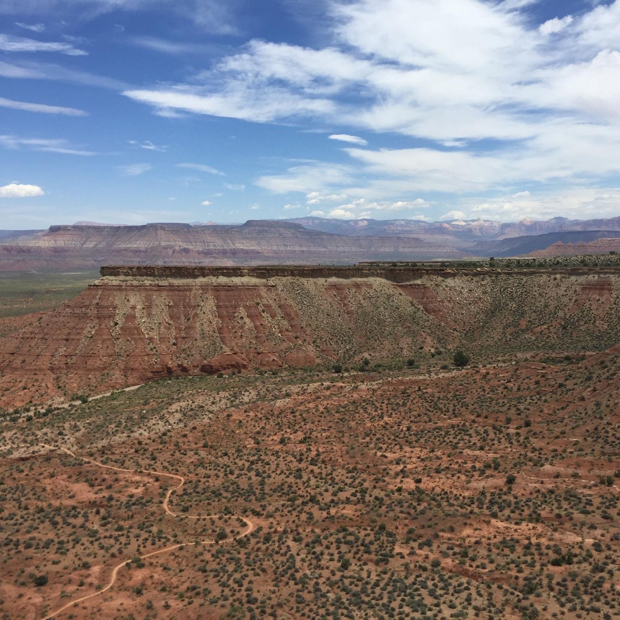
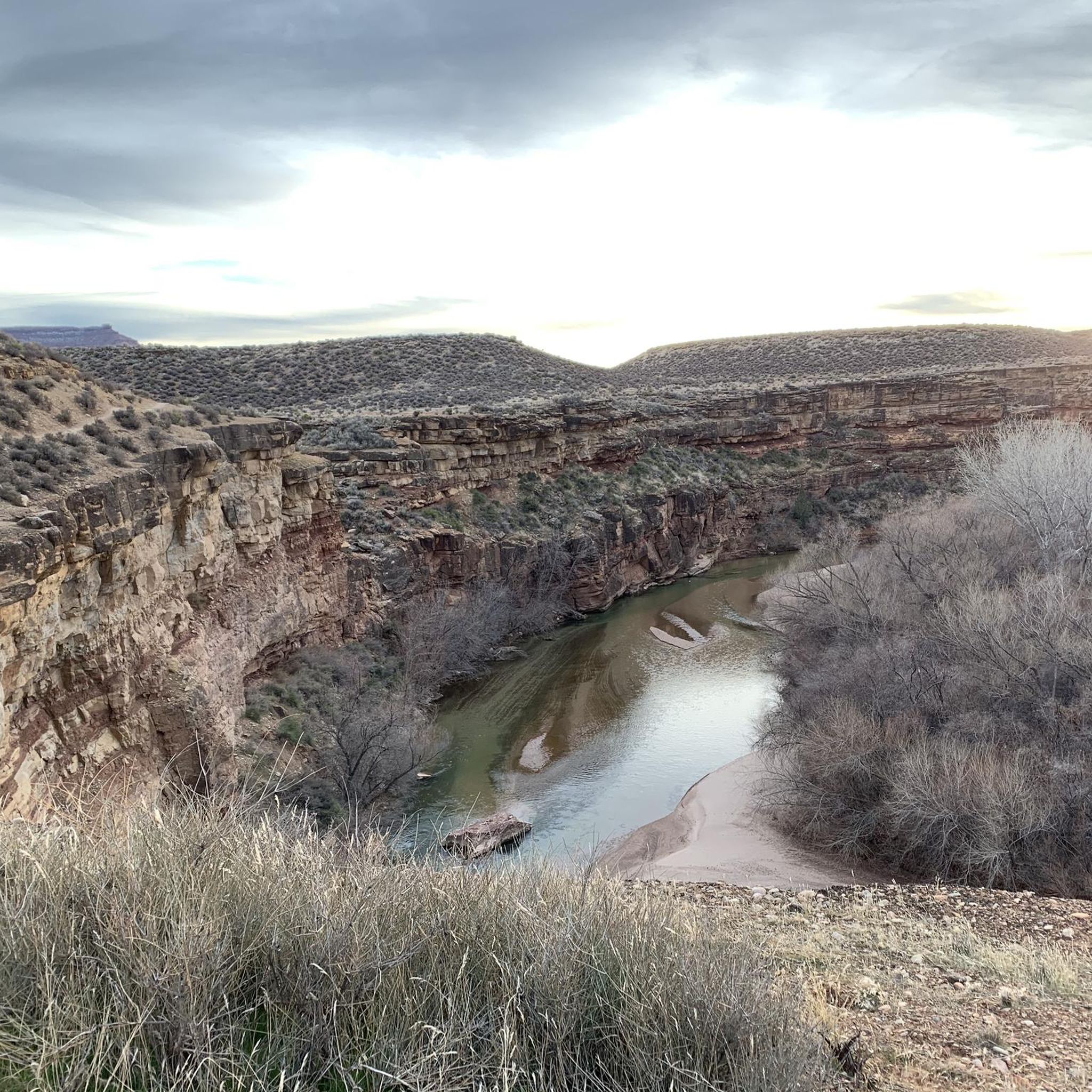
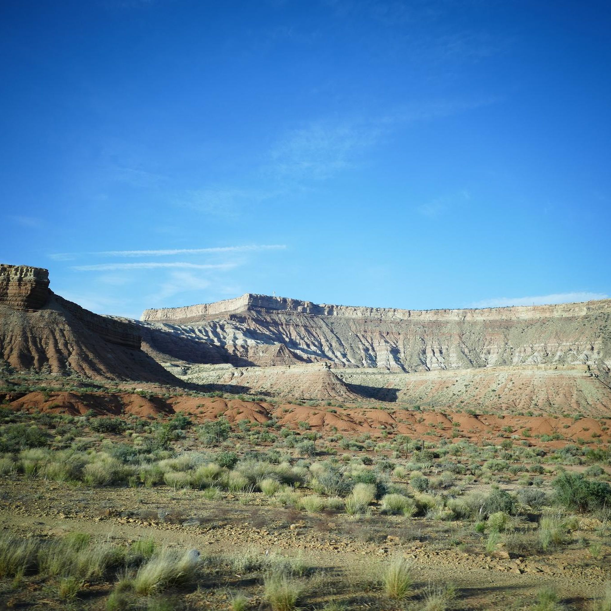
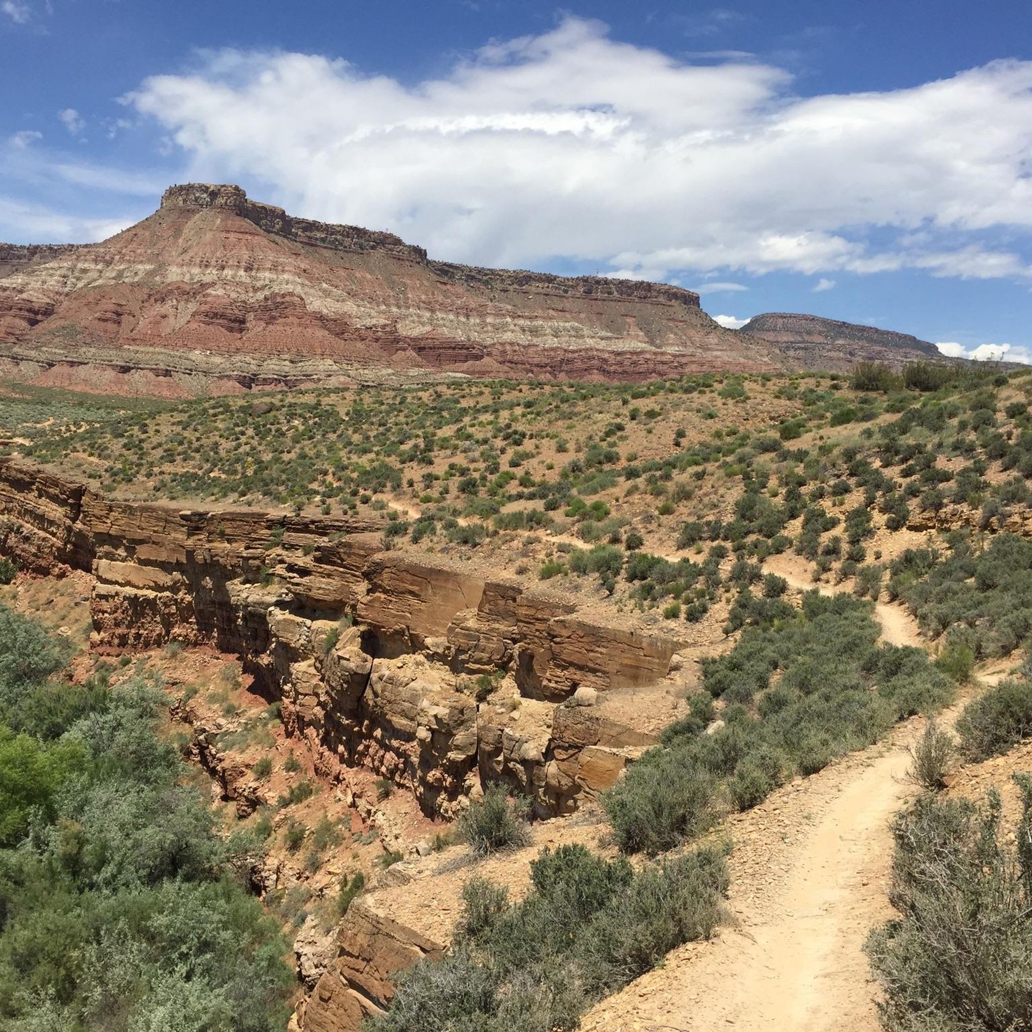
Jogging around La Verkin offers access to diverse trail systems set within Southern Utah's red rock country. The region is characterized by the Virgin River, Ash Creek, and La Verkin Creek, which carve canyons and washes through the landscape. Joggers can experience varied terrain, from valley paths along riverbanks to trails ascending cliffs, providing views of the Hurricane Cliffs and Pine Valley Mountain. This area provides a range of running routes suitable for different fitness levels.
Best jogging routes around La Verkin
- The most popular jogging route is Sandstone Mountain and Sidewinder Loop, a 5.3 miles (8.6 km) trail that takes 1 hour 9 minutes to complete. This moderate route features notable elevation gain through desert landscapes.
- Another top favourite among local runners is Hurricane Rim and JEM Trail Loop, a difficult 10.9 miles (17.5 km) path. This challenging route includes significant elevation gain, offering a demanding running experience.
- Local runners also love the Rattlesnake Gulch and Toquerville Falls Loop, a 5.4 miles (8.7 km) trail leading through scenic desert landscapes, often completed in about 1 hour 2 minutes.
- Jogging around La Verkin is defined by red rock formations, river valleys, and desert trails, with views of cliffs and mountains. The network offers options for various ability levels, from easier paths to more challenging routes with significant climbs.
- The guide includes highly-rated routes that showcase the best of the region's landscape. More than 40 runners have used komoot to explore La Verkin's varied terrain.
Last updated: May 8, 2026
1
runners
8.60km
01:09
260m
260m
Moderate run. Good fitness required. Mostly paved surfaces. Suitable for all skill levels.
1
runners
17.5km
02:09
250m
250m
Hard run. Very good fitness required. Mostly paved surfaces. Suitable for all skill levels.

Sign up for free
8.72km
01:02
220m
220m
Moderate run. Good fitness required. Mostly accessible paths. Some sure footedness required.
8
runners
8.97km
00:56
50m
50m
Moderate run. Good fitness required. Mostly paved surfaces. Suitable for all skill levels.
5
runners
7.23km
00:50
90m
90m
Moderate run. Good fitness required. Mostly paved surfaces. Suitable for all skill levels.
Get access to more routes and recommendations from other explorers.
Sign up for free
Already have an account?
Our route recommendations are based on thousands of hikes, rides, and runs completed by other people on komoot.
Start today with a free account
Your next adventure awaits.
Login or Signup
Tips from the Community

Toquerville Falls is a spectacular set of waterfalls on La Verkin Creek. The creek makes for a great swim spot, so it's refreshing escape from the desert heat.
0
0

Good spot to take a break. convenient store, picnic tables, and shade. Rest spot before the long hill climb towards Zion.
0
0

Lower JEM Trail is super fun. It’s a great climb up and a fast, flowing descent. A great way to start and end your ride at the Hurricane Cliffs Trail System.
2
0

Zig-zagging in and out of the canyons around the Hurricane Rim Trail.
1
0
Frequently Asked Questions
How many jogging routes are available around La Verkin?
There are 18 diverse jogging routes around La Verkin, ranging from moderate to difficult, offering a variety of experiences for runners of all levels.
Are there any challenging running trails in the La Verkin area?
Yes, for those seeking a challenge, the region offers several difficult routes. A notable option is the Hurricane Rim and JEM Trail Loop, which spans over 17 kilometers with significant elevation gain, providing a demanding workout amidst stunning scenery.
What are some scenic jogging routes with great views in La Verkin?
La Verkin is renowned for its breathtaking views. The La Verkin Overlook Trail, while not explicitly listed in the routes, is a local favorite offering panoramic vistas of the Virgin River Gorge, Hurricane Cliffs, and Pine Valley Mountain. Many trails within Confluence Park also provide scenic views along the Virgin River.
Are there any loop trails for jogging around La Verkin?
Absolutely, many of the running routes in La Verkin are loops, perfect for a continuous run. For a moderate option, consider the Sandstone Mountain and Sidewinder Loop, which covers about 8.6 kilometers with varied terrain.
What kind of terrain can I expect on the jogging trails in La Verkin?
The terrain around La Verkin is quite varied, from paved paths along riverbanks to more rugged desert trails. You'll encounter red rock formations, sandy sections, and some steep climbs, especially on routes like the La Verkin Overlook Trail. Trails within Confluence Park offer a mix of natural paths and more maintained sections.
Are there any family-friendly jogging options in La Verkin?
While specific 'family-friendly' routes aren't detailed, Confluence Park offers generally accessible and scenic paths along the Virgin River that are suitable for a leisurely jog or walk with family. These trails are often less strenuous and provide a peaceful environment.
Where can I find parking for jogging trails in La Verkin?
Parking is generally available at popular trailheads. For instance, Confluence Park has dedicated parking areas. For routes within the Red Cliffs Desert Reserve, such as the Sandstone Mountain and Sidewinder Loop, you'll typically find parking at designated trailheads. It's always a good idea to check specific route details for precise parking information.
What are some points of interest or attractions I might see while running in La Verkin?
The La Verkin area is rich in natural beauty. While jogging, you might encounter stunning geological features, river views, and desert flora. Points of interest nearby include Gooseberry Mesa – White Trailhead, the Upper JEM Trail, and Gooseberry Point, which offer unique perspectives of the landscape.
Are there any permits required for running on trails near La Verkin?
For most general jogging trails directly around La Verkin, permits are not typically required. However, if you venture into protected areas like the Red Cliffs Desert Reserve, it's advisable to check their official guidelines for any specific permit requirements or regulations, especially for certain activities or areas.
What is a good moderate-difficulty running route in the area?
For a moderate run with beautiful desert landscapes, consider the Rattlesnake Gulch and Toquerville Falls Loop. This route is approximately 8.7 kilometers long and offers a rewarding experience without being overly strenuous.
Can I find a shorter running loop starting directly from La Verkin?
Yes, there are shorter options available. The Great rest spot before the hill loop from La Verkin is a moderate 7.2-kilometer route that starts conveniently from the town, offering a good workout with some elevation.
What do other runners enjoy most about jogging in La Verkin?
Runners frequently praise the stunning natural beauty and diverse terrain of the La Verkin area. The red rock landscapes, panoramic views, and the tranquility of trails like those in Confluence Park are often highlighted. The variety of routes, from gentle river paths to challenging desert loops, also makes it a favorite among the komoot community.
Most popular routes around La Verkin
Most popular attractions around La Verkin

Get inspired with the komoot mobile app


Explore more
Browse the best Running Trails & Routes in other regions.
