The best road cycling routes around Independence
5.0
(1)
139
riders
10
rides
Road cycling around Independence, Missouri, features a network of paved paths and multi-use trails. The terrain is generally flat to gently rolling, with routes often following riverine landscapes. Cyclists can explore natural settings such as forests and open farmland. The area provides options for various skill levels, from easy rides to more moderate routes.
Best road cycling routes around Independence
- The most popular road cycling route is Deer Creek Overlook – Alpine Summit loop from Heber Valley Railroad Depot,…
Last updated: June 29, 2026
40
riders
136km
08:02
3,240m
3,240m
Hard road ride. Very good fitness required. Mostly well-paved surfaces and easy to ride.
24
riders
Moderate road ride. Good fitness required. Mostly well-paved surfaces and easy to ride.

Sign up for free
19
riders
31.5km
01:52
720m
720m
Moderate road ride. Good fitness required. Mostly well-paved surfaces and easy to ride.
9
riders
33.2km
01:31
200m
200m
Easy road ride. Great for any fitness level. Mostly well-paved surfaces and easy to ride.
8
riders
29.4km
01:25
190m
190m
Easy road ride. Great for any fitness level. Mostly well-paved surfaces and easy to ride.
Get access to more routes and recommendations from other explorers.
Sign up for free
Already have an account?
Our route recommendations are based on thousands of hikes, rides, and runs completed by other people on komoot.
Start today with a free account
Your next adventure awaits.
Login or Signup
Popular around Independence


Tips from the Community

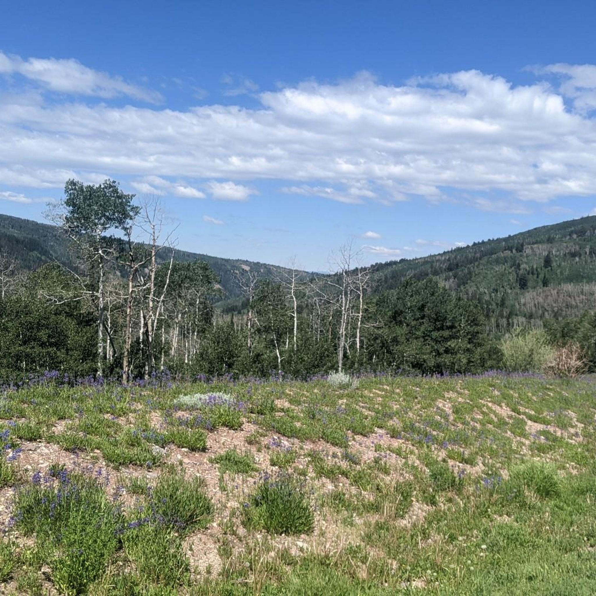
This is the highest point of the Alpine Scenic Highway—meaning if you’ve made it here, it’s time to enjoy the downhill ahead. Nearby, you’ll find access to several trails, including Willow Hollow Trail, Horse Flat Trail, Ridge Trail, and Lame Hollow Trail.
0
0
An impressive temple surrounded by beautifully maintained gardens, with Redbud trees that make it especially stunning when in bloom. Take a moment to pause and enjoy the peaceful atmosphere of this sacred place.
0
0

Builders broke ground on the creation of this temple in 2006, then finished it in 2009. It's the 129th temple of the Mormon Church.
0
0

This challenging 8.8-mile climb begins with a moderate ascent and gradually steepens as you approach the summit, surrounded by dense forests of aspen trees. The route winds through lush, green terrain, offering glimpses of rugged mountain slopes and rocky outcrops as you gain elevation. As you near the top, the trees part to reveal stunning panoramic views of the high-altitude mountains, with the summit at Guardsman Pass offering a breathtaking perspective of the surrounding landscape.
0
0

Heber City is the gateway to several parks, national forests and nature areas in Utah, so it is a great place to start a ride. The city was first settled in 1859, and it still has several historic buildings that you can visit.
1
0

From this point, you can take the trail that, with a short, easy walk, will lead you through this area bathed by an artesian spring that forms terraced cascades and pools. You'll need to hop off the bike to explore it, but there is a parking area next to the trailhead.
1
0
At this viewpoint, on one side of Cascade Springs Drive, you'll enjoy incredible scenic views. The best time to visit it is in the fall, when you can see the different colors of the leaves as they change.
1
0

This small but practical reservoir is vital to the city's irrigation system, providing additional water to nourish the landscaped areas and gardens. Its coverage extends to the newly developed regions within Highland, guaranteeing that the greenery remains healthy and thriving. From here, you can catch a glimpse of the breathtaking high mountains dominating in the background.
0
0
Frequently Asked Questions
What kind of terrain can I expect when road cycling around Independence?
Road cycling routes around Independence, Missouri, are characterized by mostly flat or gently rolling terrain. Many paths follow riverine landscapes, offering picturesque views, particularly along the Little Blue River. You'll also find passages through nature reserves, forests, and open farmland, providing varied scenery for your ride.
Are there easy road cycling routes suitable for beginners or families in Independence?
Yes, Independence offers several easy road cycling routes perfect for beginners or family outings. These paths typically feature gentle gradients and are well-maintained, allowing for a relaxed and enjoyable experience. The region's network includes options that are accessible for various fitness levels.
Where can I find scenic views or natural features while road cycling in Independence?
Many routes in Independence offer scenic views, especially those that meander alongside the Little Blue River. You can also cycle through diverse natural settings like forests and nature reserves. For a unique experience, the Waterfall Park features a trail that passes a picturesque waterfall and an 18-acre lake.
What are some popular trails for road cycling in Independence?
The Little Blue Trace Trail is a highlight for cyclists in Independence, offering a multi-use path that follows the Little Blue River for over 15 miles. It provides scenic views, forests, and opportunities to spot wildlife. Another notable option is the Waterfall Park Trail, which includes a unique waterfall feature.
Are there any challenging road cycling routes for experienced riders in Independence?
While many routes are gentle, Independence also offers more challenging options for experienced road cyclists. These routes may feature longer distances or more varied terrain, providing a good workout. The region has a total of 4 difficult routes available for those seeking a greater challenge.
What kind of wildlife might I see while cycling in Independence?
When cycling along trails like the Little Blue Trace Trail, you might encounter various wildlife. Common sightings include deer, wild turkey, and geese, especially in the more natural and riverine sections of the routes.
Are there any parks or natural areas accessible by road bike in Independence?
Absolutely. George Owens Nature Park, for instance, offers 86 acres of beautiful forest and lakes with both paved and unpaved trails suitable for cycling. The Little Blue Trail Park also serves as a trailhead for the Little Blue Trace Trail, providing amenities and access to natural areas.
How long are the road cycling routes typically in Independence?
The road cycling routes around Independence vary in length to suit different preferences. You can find shorter, easy paths for quick rides, as well as longer routes extending over 15 miles for more extensive explorations. The region offers a range of distances to accommodate various cycling goals.
What do other road cyclists say about the routes in Independence?
The road cycling routes in Independence are highly rated by the komoot community, with an average score of 5.0 stars. Cyclists often praise the well-maintained, mostly paved trails and the tranquil natural settings of river corridors, forests, and farmlands that make for an appealing cycling experience.
Are there any circular road cycling routes available in Independence?
Yes, Independence features several circular road cycling routes, allowing you to start and end your ride at the same point. These loops are convenient for exploring different landscapes without retracing your path, offering a diverse experience through riverine paths, forests, and open farmland.
Where can I find parking for road cycling trails in Independence?
Many popular trailheads in Independence offer dedicated parking facilities. For example, the Little Blue Trail Park serves as a convenient trailhead for the Little Blue Trace Trail and provides amenities like parking, making it easy to access the routes.
Can I access road cycling routes in Independence using public transport?
While specific public transport access points to trailheads may vary, Independence has a public transit system. It's advisable to check the local bus routes and schedules provided by the City of Independence to see if they align with your desired starting points for cycling routes. More information can be found on the Independence city website.
Most popular routes around Independence

Get inspired with the komoot mobile app


Explore more
Browse the best Road cycling routes in other regions.
