The best walks and hikes around Harrisville
4.5
(21)
312
hikers
39
hikes
Hiking around Harrisville, Michigan, offers diverse natural landscapes along Lake Huron's "Sunrise Side." The region features sandy beaches, extensive pine and cedar forests within Harrisville State Park, and numerous inland lakes and streams. Much of the area is encompassed by the Huron National Forest, providing a network of trails through deep forests.
Best hiking trails around Harrisville
- The most popular hiking route is Bonneville Shoreline Trail Loop, a 2.5 miles (4.0 km) trail that takes 1 hour 12 minutes…
Last updated: May 13, 2026
4
hikers
2.13km
00:35
30m
40m
Easy hike. Great for any fitness level. Easily-accessible paths. Suitable for all skill levels.
1
hikers
4.03km
01:12
170m
70m
Easy hike. Great for any fitness level. Easily-accessible paths. Suitable for all skill levels.

Sign up for free
4.82km
01:38
360m
60m
Moderate hike. Good fitness required. Easily-accessible paths. Suitable for all skill levels.
27.1km
07:02
160m
160m
Hard hike. Very good fitness required. Easily-accessible paths. Suitable for all skill levels.
2.56km
00:47
140m
20m
Easy hike. Great for any fitness level. Easily-accessible paths. Suitable for all skill levels.
Get access to more routes and recommendations from other explorers.
Sign up for free
Already have an account?
Our route recommendations are based on thousands of hikes, rides, and runs completed by other people on komoot.
Start today with a free account
Your next adventure awaits.
Login or Signup
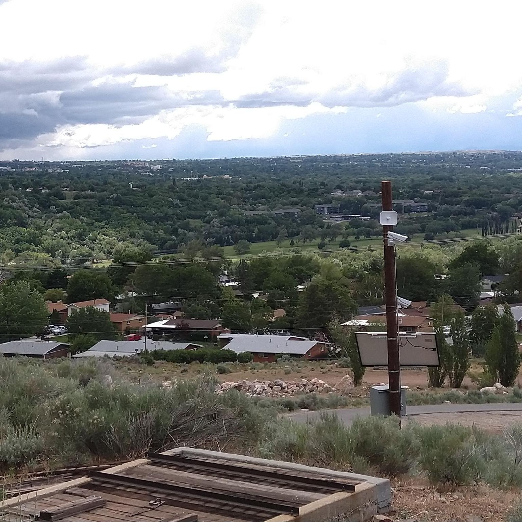


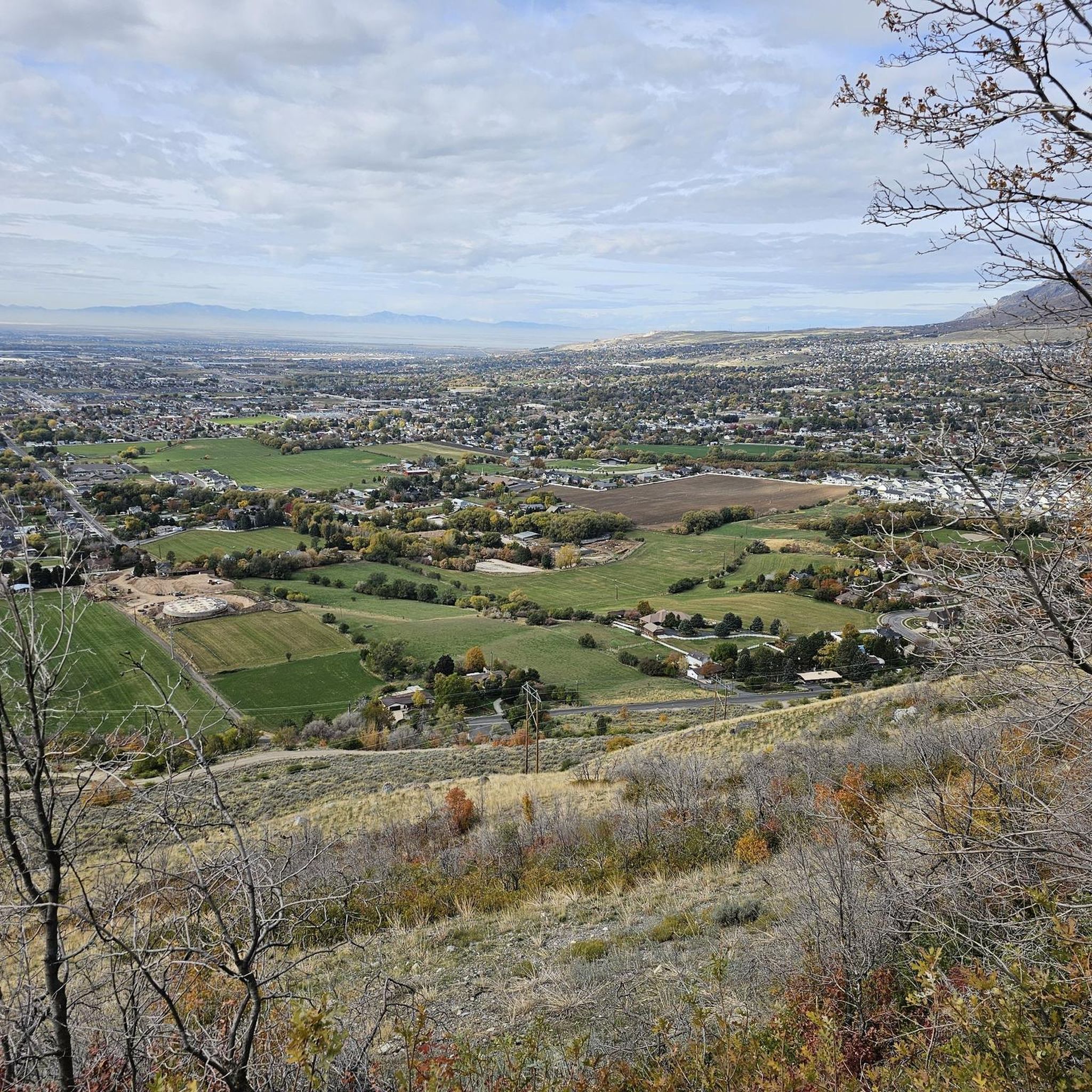
Tips from the Community

The spot along the Bonneville Shoreline Trail can be just a trickle or a full-blown stream crossing depending on the time of year. It's best to just hop off and push your bike across if you can't see the rocks at the bottom.
0
0

This park features a collection of life-sized dinosaur sculptures that populate the entire area, providing an immersive experience that makes learning enjoyable for the whole family. For information on operating hours and other details, please visit the website: https://www.dinosaurpark.org/hours/
0
0
At one point, this river was on its way to becoming a dead river, but it has been rejuvenated and now boasts a healthy amount of fishing opportunities. The cleanup effort involved removing and recycling 5,684 tons of concrete and metal. Take some time to appreciate the collective efforts made to keep this beautiful river thriving and healthy.
0
0

Historic Indian Trail was once used by Shoshone Indians to avoid high canyon waters. Interesting trail to follow and follow in the footsteps of those that created the trail!
1
0
Coldwater Creek is a refreshing stream running through Coldwater Canyon, and the perfect stop to freshen up during a hike. Icy and slippery conditions during rainy and snowy weather make for dangerous conditions, so be cautious.
0
0
Frequently Asked Questions
How many hiking trails are available around Harrisville?
There are over 20 hiking routes around Harrisville, offering a variety of experiences from moderate climbs to more difficult ascents through mountainous terrain and scenic canyons.
What kind of terrain can I expect on hikes around Harrisville?
Hikes around Harrisville primarily feature mountainous terrain, forested areas, and scenic canyons. You can expect significant elevation changes, with routes traversing from canyon floors to mountain summits, providing diverse challenges and rewarding views.
Are there any trails with waterfalls in Harrisville?
Yes, the Waterfall Canyon Trail is a popular option. This 2.5-mile (4.1 km) route features a significant elevation gain through a scenic canyon, leading to a beautiful waterfall.
What are some trails with great views in Harrisville?
For panoramic vistas, consider the Malans Peak hike, which offers expansive views from a prominent peak. Another excellent choice for high-altitude vistas is the Ben Lomond from North Skyline Trail, though this is a longer and more challenging route.
Are there any family-friendly hiking options in Harrisville?
While many trails involve significant elevation, there are moderate options that families with some hiking experience might enjoy. For example, the Waterfall Canyon Trail is a popular 2.5-mile route that offers a rewarding destination.
Can I bring my dog on trails in Harrisville?
Many trails in the Uinta-Wasatch-Cache National Forest, which surrounds Harrisville, generally permit dogs on leash. However, it's always best to check specific trail regulations or local signage before heading out, as rules can vary.
Are there any circular or loop trails in Harrisville?
Yes, the Hidden Valley & Taylor Canyon Trail loop is a great option for a circular hike. This moderate route covers approximately 5.3 miles (8.5 km) and offers varied scenery.
What are some interesting places to see near the hiking trails?
Beyond the trails themselves, you can explore several nearby attractions. The Weber River Parkway and Ogden River Parkway offer scenic routes, while the 21st Street Pond (Goode Ski Lake) provides a tranquil spot. For a different kind of trail, check out the Birdsong Trail.
What do other hikers say about the trails in Harrisville?
The trails in Harrisville are highly rated by the komoot community, with an average score of 4.6 stars from over 20 reviews. Hikers often praise the challenging yet rewarding ascents, the stunning canyon scenery, and the panoramic views from the mountain peaks.
What is the best time of year to hike in Harrisville?
The best time to hike in Harrisville is typically from late spring through early fall (May to October) when the weather is mild and trails are clear of snow. Summer offers warmer temperatures, while spring and fall provide cooler conditions and beautiful foliage.
Are there any accessible walking trails in Harrisville?
While many of the mountain trails in Harrisville feature significant elevation changes, the nearby Weber River Parkway and Ogden River Parkway are generally more level and paved, offering easier access for walking and other activities.
Are there any hidden gem hikes around Harrisville?
While the main trails are well-known, exploring the various segments of the Uinta-Wasatch-Cache National Forest can reveal less-trafficked paths. Routes like the Hidden Valley & Taylor Canyon Trail loop offer a chance to experience the region's beauty away from the most popular summits.
Most popular attractions around Harrisville

Get inspired with the komoot mobile app


Explore more
Browse the best Hikes in other regions.
