The best running trails around Hornsby Bend
195
runners
8
runs
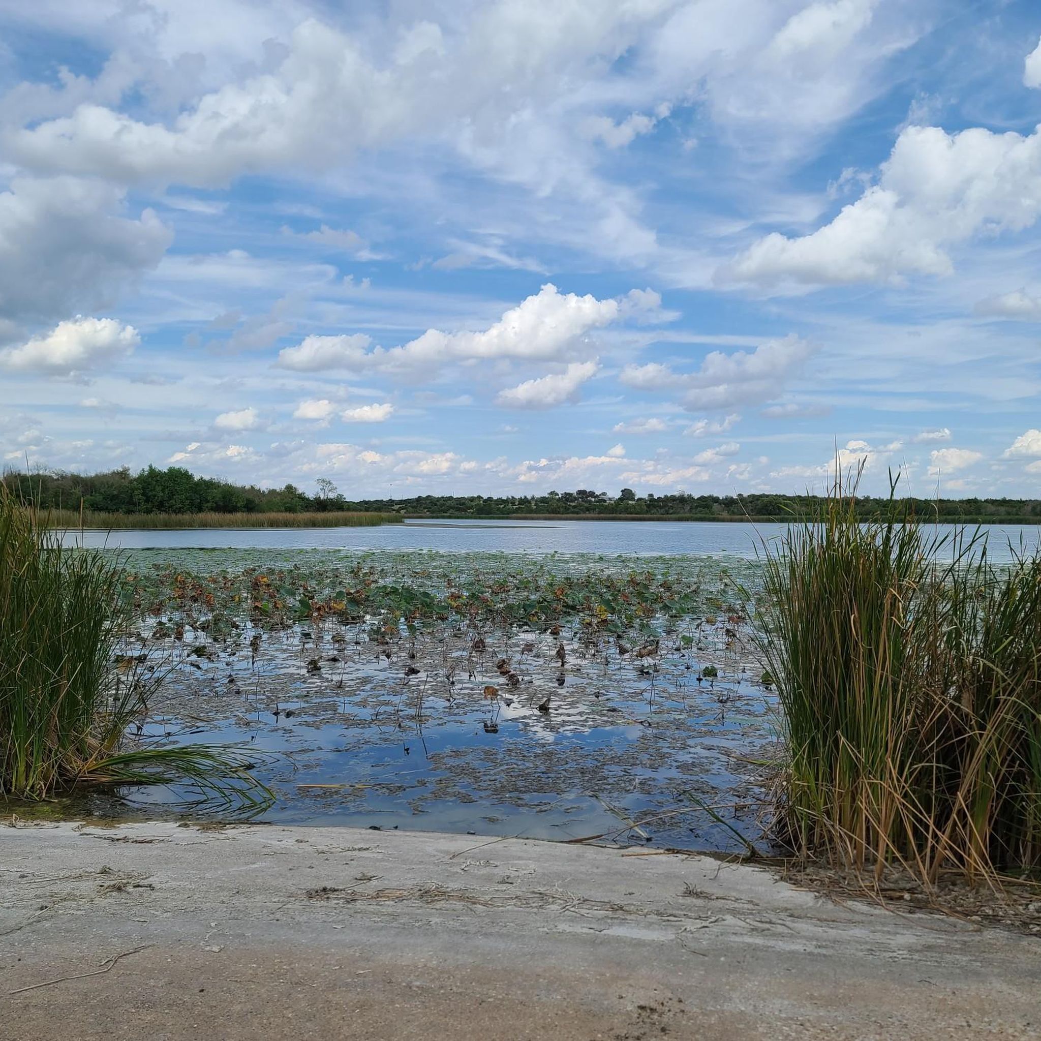
Jogging routes around Hornsby Bend traverse a unique landscape on the eastern edge of Austin, Texas. The area features diverse ecosystems, including extensive wetlands, riparian zones along the Colorado River, and open fields and grasslands. These natural features, alongside regenerating bottomland forests, provide varied terrain for running.
Best jogging routes around Hornsby Bend
- The most popular jogging route is Southern Walnut Creek Trail – Southern Walnut Creek Trail loop from Montopolis Bridge, an 8.9 miles (14.3 km) trail that…
Last updated: June 26, 2026
37
runners
Moderate run. Good fitness required. Mostly paved surfaces. Suitable for all skill levels.
43
runners
Hard run. Very good fitness required. Mostly paved surfaces. Suitable for all skill levels.

Sign up for free
11
runners
12.6km
01:19
70m
70m
Moderate run. Good fitness required. Mostly paved surfaces. Suitable for all skill levels.
7
runners
7.55km
00:47
40m
40m
Moderate run. Good fitness required. Mostly paved surfaces. Suitable for all skill levels.
6
runners
5.96km
00:37
10m
10m
Moderate run. Good fitness required. Mostly paved surfaces. Suitable for all skill levels.
Get access to more routes and recommendations from other explorers.
Sign up for free
Already have an account?
Our route recommendations are based on thousands of hikes, rides, and runs completed by other people on komoot.
Start today with a free account
Your next adventure awaits.
Login or Signup
Popular around Hornsby Bend

Tips from the Community

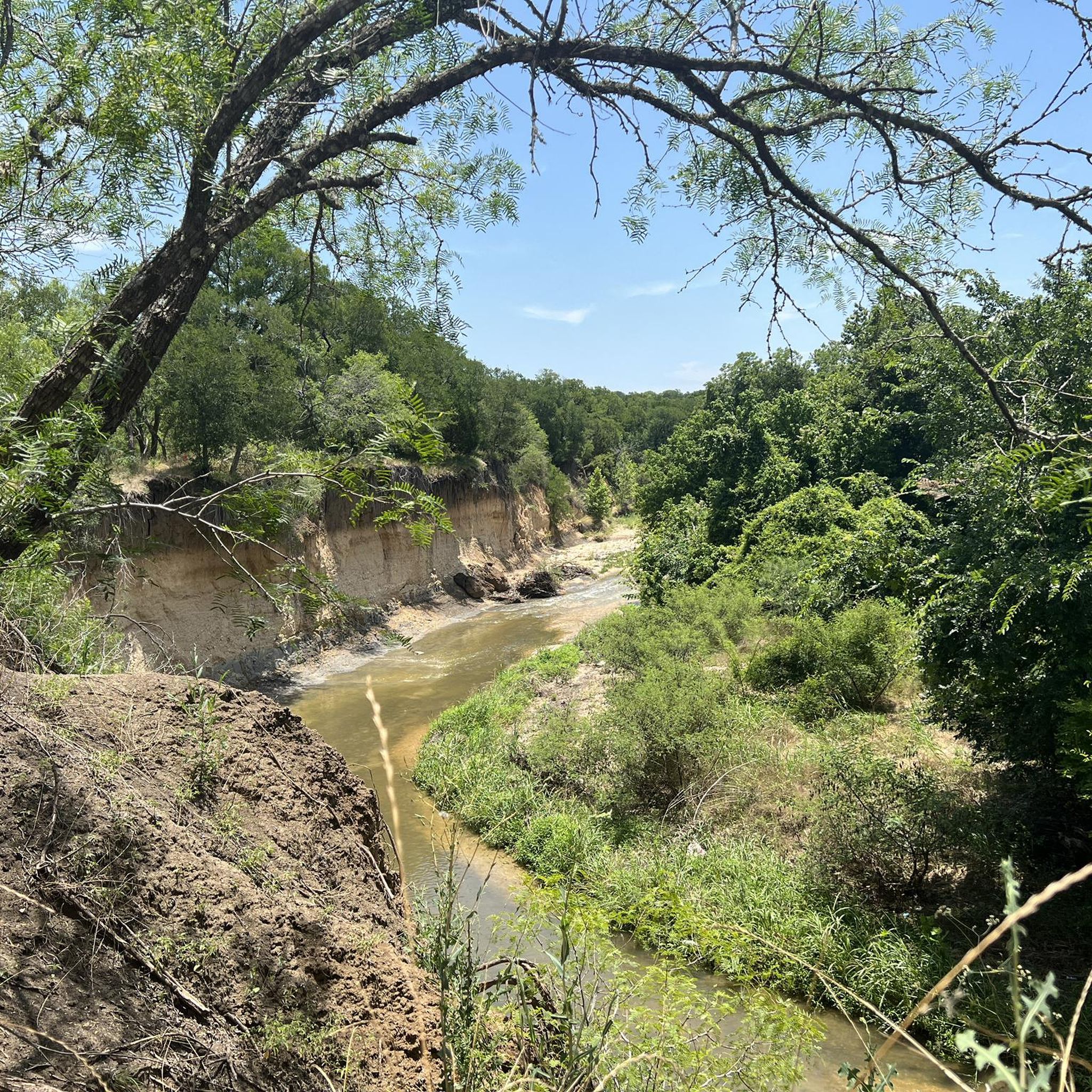
The trail winds its way through over 7.3 miles of diverse terrain, following Walnut Creek. Expect gentle inclines, flat stretches, and passages through lush forests. It also crosses Walnut Creek at several points with bridges and culverts, offering refreshing sights and sounds.
0
0
The trail winds its way through over 7.3 miles of diverse terrain, following Walnut Creek. Expect gentle inclines, flat stretches, and passages through lush forests. It also crosses Walnut Creek at several points with bridges and culverts, offering refreshing sights and sounds.
0
0

The Southern Walnut Creek Greenbelt spans 8.9 miles from Govalle Neighborhood Park to Johnny Morris Rd. and Daffan Lane. It's an incredibly scenic and traffic-free route that provides the perfect location for an enjoyable cycle.
0
0
The Southern Walnut Creek Greenbelt spans 8.9 miles from Govalle Neighborhood Park to Johnny Morris Rd. and Daffan Lane. It's an incredibly scenic and traffic-free route that provides the perfect location for an enjoyable cycle.
2
0
Frequently Asked Questions
What types of terrain can I expect on the running trails around Hornsby Bend?
The running routes in Hornsby Bend traverse a diverse landscape. You'll find paths through extensive wetlands, along riparian zones of the Colorado River, and across open fields and grasslands. There are also regenerating bottomland forests, offering shaded sections and varied surfaces for your run.
Are there any long-distance running options in Hornsby Bend?
Yes, Hornsby Bend offers several longer routes. For example, the Southern Walnut Creek Trail loop from Southern Walnut Creek Greenbelt is a challenging 12.2-mile (19.7 km) path, perfect for those looking for a more extensive run.
Are there any circular jogging routes available?
Many of the routes around Hornsby Bend are designed as loops. For instance, the Southern Walnut Creek Trail loop from Montopolis Bridge is an 8.9-mile (14.3 km) circular route, and the Running loop from Big Walnut Creek Nature Preserve offers a 7.9-mile (12.7 km) loop through natural preserve landscapes.
What are the difficulty levels of the running trails in Hornsby Bend?
The routes in Hornsby Bend cater to a range of abilities. You'll find a mix of moderate and difficult trails. For example, there are 5 moderate routes and 5 difficult routes listed in this guide, ensuring options for various fitness levels.
Can I bring my dog on the running trails?
While the guide doesn't specify dog policies for individual routes, Hornsby Bend is generally known for its outdoor recreational opportunities. It's always best to check local regulations or signage at trailheads regarding dog-friendly policies, especially concerning leash requirements and waste disposal, to ensure a pleasant experience for everyone.
Are there any family-friendly jogging routes in the area?
While many routes offer natural beauty, the guide primarily lists moderate to difficult trails. For a potentially more family-friendly option, the region research mentions a half-mile nature trail near the future Hornsby Bend Health & Wellness Center, which could be suitable for shorter, easier walks or jogs with family.
What natural features or viewpoints can I expect to see while running?
Hornsby Bend is rich in natural beauty. You can expect to see diverse habitats including wetlands, riparian zones along the Colorado River, and open grasslands. The Hornsby Bend River Trail, for example, offers picturesque river views. The area is also a renowned birdwatching hotspot, so you might spot a wide array of bird species during your run.
Are there any interesting landmarks or attractions near the running routes?
Yes, there are several points of interest nearby. You can explore the Southern Walnut Creek Greenbelt, discover the Boggy Creek Greenbelt Trail Murals, or visit Longhorn Point for scenic views. The Secret Beach is also a unique spot to check out.
What is the best time of year to go running in Hornsby Bend?
Hornsby Bend is accessible daily from dawn until dusk. While specific seasonal recommendations aren't provided, the presence of tree-lined areas and forests suggests that shaded sections can be appealing during warmer months. Given Texas's climate, spring and fall often offer the most comfortable temperatures for outdoor activities like running.
Is parking available for the running trails?
While the guide doesn't detail specific parking locations for each route, Hornsby Bend is a popular outdoor destination, implying that parking facilities are generally available. It's advisable to check the starting points of individual routes or the Hornsby Bend Bird Observatory's official information for precise parking details.
Are there any public transport options to reach the running trails?
The guide does not provide specific public transport information for reaching the trailheads. Hornsby Bend is located on the eastern edge of Austin, and while accessible, public transport options might be limited. It's recommended to check local Austin public transit schedules and routes for the most up-to-date information on reaching the area.
What should I know about the environment at Hornsby Bend?
Hornsby Bend is a unique 'marginal nature' haven, where a wastewater treatment facility coexists with a thriving ecosystem. This means you'll experience diverse natural settings and abundant wildlife, particularly birds. However, visitors should be aware that some areas near the facility can occasionally have noticeable odors, though the overall natural appeal remains strong.
Most popular routes around Hornsby Bend
Most popular attractions around Hornsby Bend

Get inspired with the komoot mobile app


Explore more
Browse the best Running Trails & Routes in other regions.
