The best road cycling routes around Fort Bliss
4.0
(2)
142
riders
20
rides
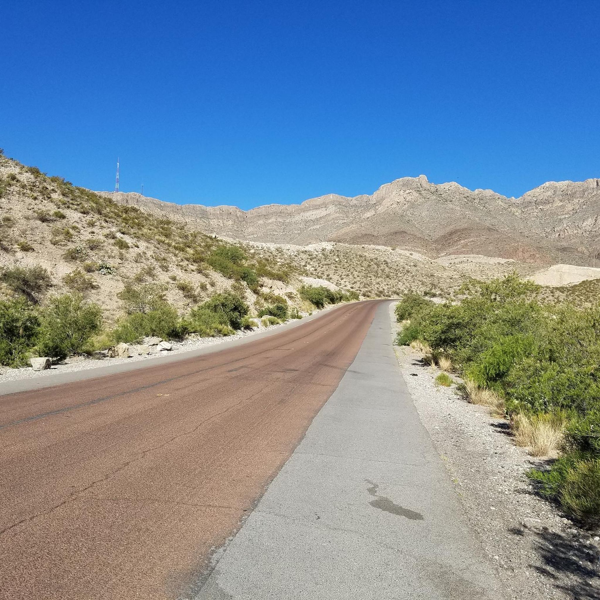
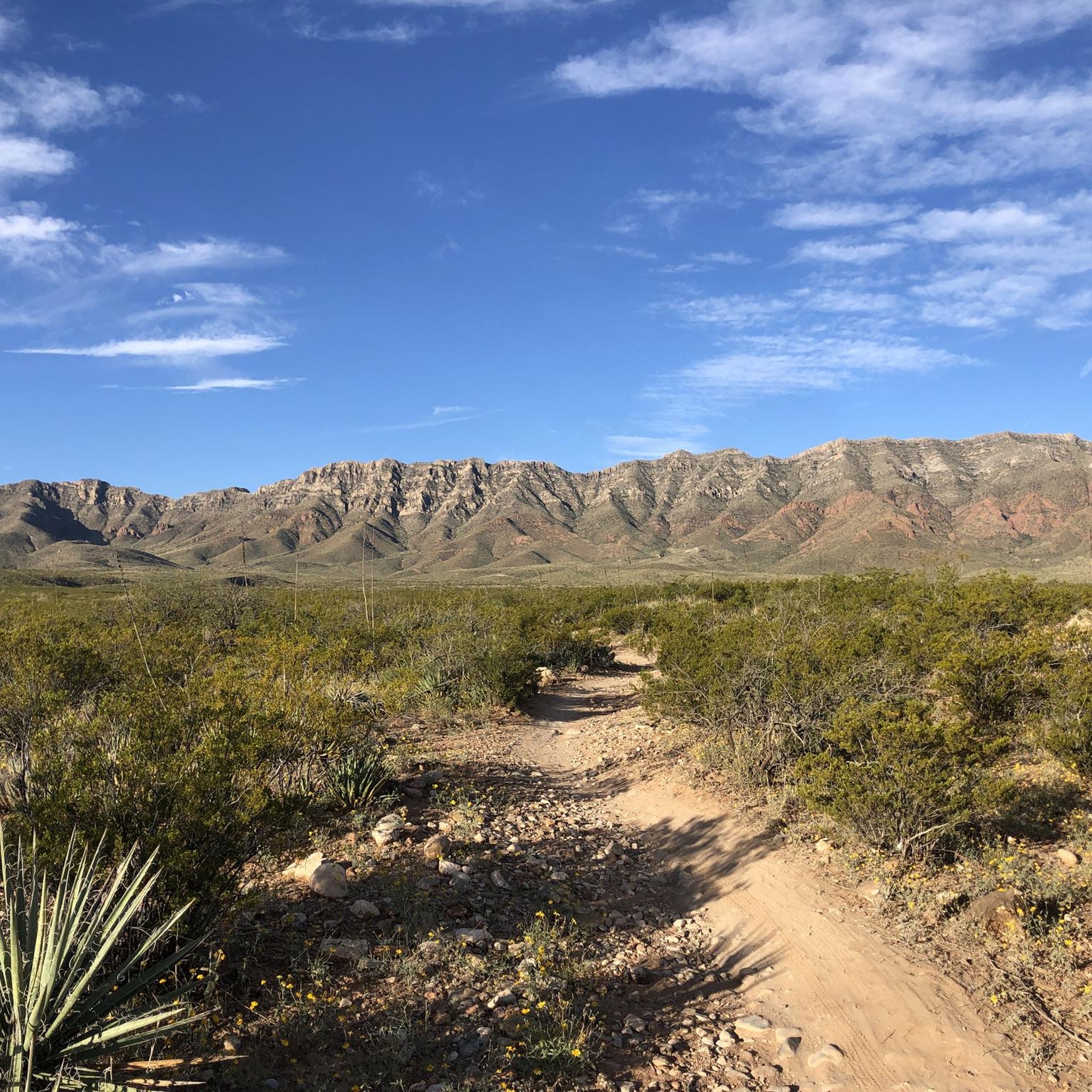
Road cycling around Fort Bliss offers diverse terrain, from expansive desert landscapes to the rugged Franklin Mountains. The region is characterized by significant elevation changes, providing challenging ascents and scenic views. Proximity to Franklin Mountains State Park, the largest urban park in the U.S., ensures access to varied routes and natural features. This unique setting supports year-round outdoor activities for road cyclists.
Best road cycling routes around Fort Bliss
- The most popular road cycling route is Smugglers Pass & Mission…
Last updated: October 4, 2026
110km
05:33
870m
870m
Hard road ride. Very good fitness required. Mostly well-paved surfaces and easy to ride.
13
riders
21.9km
01:19
40m
40m
Easy road ride. Great for any fitness level. Mostly well-paved surfaces and easy to ride.

12
riders
Easy road ride. Great for any fitness level. Mostly well-paved surfaces and easy to ride.
12
riders
46.7km
02:19
310m
310m
Moderate road ride. Good fitness required. Mostly well-paved surfaces and easy to ride.
18
riders
Moderate road ride. Good fitness required. Mostly well-paved surfaces and easy to ride.
Get access to more routes and recommendations from other explorers.
Already have an account?
Our route recommendations are based on thousands of hikes, rides, and runs completed by other people on komoot.
Start today with a free account
Your next adventure awaits.


Tips from the Community

Castner Range National Monument spans 6,672 acres of rugged desert terrain on the eastern slopes of North Franklin Mountain. Once a military weapons testing site, it now preserves 41 archaeological sites, including ancient rock art and artifacts from Indigenous cultures. Though currently closed to the public, the picturesque landscape makes for a fantastic scenic ride.
0
0

The Mammoth is a well-known local landmark, named for its resemblance to the extinct beasts. The steep rock formation stands at 6,285 ft (1915.7 m), and is enjoyed by spectators and rock climbers alike.
0
0
Ascarate Park spans over 400 acres, is the largest public recreational space in El Paso County, and is a local hub for sports, picnicking, and fishing. There is a scenic 48-acre lake with a boardwalk, playgrounds, an aquatic center, and a golf course. There are no drinking fountains here, but it's a nice scenic spot to stretch your legs during a long ride.
1
0

This overlook is better known as Murchison Rogers Park. The overlook features several pier overlooks from the cliffside that point down the valley and towards the mountain sides. The twisty mountain road reaching the overlook is a popular scenic drive, walk, jog, and bike ride.
0
0

Nice ride. Crowded on sundays. Blocked for motorvehicles sunday mornings
1
0
This overlook is better known as Murchison Rogers Park. The overlook features several pier overlooks from the cliffside that point down the valley and towards the mountain sides. The twisty mountain road reaching the overlook is a popular scenic drive, walk, jog, and bike ride.
0
0

Frequently Asked Questions
What kind of terrain can I expect on road cycling routes around Fort Bliss?
Road cycling around Fort Bliss features diverse terrain, ranging from expansive desert landscapes to the rugged Franklin Mountains. You'll encounter significant elevation changes, providing challenging ascents and scenic views. The area is characterized by an arid environment with various cacti, yuccas, and rocky mountain paths.
How many road cycling routes are available in the Fort Bliss area?
There are over 15 road cycling routes available around Fort Bliss, catering to various skill levels. These include routes with significant elevation gain for experienced cyclists and more moderate paths.
Are there challenging road cycling routes for experienced riders?
Yes, Fort Bliss offers several challenging routes. For instance, the Smugglers Pass & Mission Valley loop is a difficult 68.1-mile ride with over 2,800 feet of elevation gain. The region's proximity to the Franklin Mountains ensures demanding ascents, such as those found on Transmountain Road (Loop 375), which climbs over 1,400 feet.
What are some scenic landmarks or natural features I can see while cycling?
Many routes offer panoramic views of El Paso and the surrounding desert. You can encounter features like View of The Mammoth and Smuggler's Pass. The Ascarate Park Lake – Murchison Rogers Park Overlook loop provides views of Ascarate Park Lake and urban park scenery.
What is the best time of year for road cycling around Fort Bliss?
The cooler months offer ample opportunities for exploring the outdoors in comfortable conditions. The region experiences mild spring and fall seasons with sunny days and cool nights, making these ideal times for road cycling. Summers can be very hot, requiring cyclists to carry ample water and plan rides for early mornings or late evenings.
Are there any road cycling routes suitable for families or beginners?
While many routes involve significant elevation, there are moderate options available. The Ascarate Park Lake – Murchison Rogers Park Overlook loop is a moderate 29.8-mile path that offers a less strenuous experience compared to mountain climbs. McKelligon Canyon Road, while not a full route in this guide, is mentioned as a paved path with moderate gradients suitable for scenic views.
Are there any circular road cycling routes in the area?
Yes, many of the routes around Fort Bliss are designed as loops. Examples include the Smugglers Pass & Mission Valley loop, the Ascarate Park Lake – Murchison Rogers Park Overlook loop, and the Smuggler's Pass – View of the Mammoth loop.
What should I know about parking for road cycling routes near Fort Bliss?
Parking availability varies by route. For routes accessing Franklin Mountains State Park, designated parking areas are available. For urban routes, street parking or public lots near the starting points may be an option. Always check local signage for parking regulations.
Are there any specific permits or fees required for cycling in certain areas?
If your route takes you into Franklin Mountains State Park, standard state park entrance fees may apply. It's advisable to check the official Texas Parks and Wildlife Department website for current fee information and any specific regulations for cyclists: tpwd.texas.gov/state-parks/franklin-mountains.
What kind of wildlife might I encounter while cycling?
The desert ecosystem around Fort Bliss and Franklin Mountains State Park is home to native wildlife. While cycling, you might spot various desert animals, especially during cooler parts of the day. Always maintain a respectful distance and do not disturb wildlife.
Are there any routes that offer views of the Benito Juárez Monument?
Yes, the Benito Juárez Monument loop from Plutarco Elías Calles is a moderate 34.4-mile route that includes views of this significant landmark.
What are the average distances and durations for road cycling routes in this area?
Routes vary significantly in length and duration. For example, the Smugglers Pass & Mission Valley loop is 68.1 miles and takes approximately 5 hours 33 minutes, while the Smuggler's Pass – View of the Mammoth loop is 31.3 miles and can be completed in about 2 hours 50 minutes.
Most popular routes around Fort Bliss
Most popular attractions around Fort Bliss

Get inspired with the komoot mobile app


Explore more
Browse the best Road cycling routes in other regions.
